
Algerien
Beschreibung

The immense North African country of Algeria borders on the Mediterranean Sea, and offers a diversity of landscapes. Starting from the north, there is the Tell Atlas mountain range running west-east along the Mediterranean coast. In the far northeastern corner the Tell Atlas end in the Aures mountains which Algeria shares with neighbouring Tunisia. To the southwest is the Saharan Atlas range, including the Ksour, Amour and Ouled Nail mountains. What follows are the vast Sahara desert and moving sand dune expanses of the Great Western and Great Eastern Erg. Algeria's highest mountain Tahat (2918 m) is in the south of the country, part of the Hoggar (also Ahaggar or Idurar Uhaggar) mountain range, also a National Park. Tassili n'Ajjer National Park lies in the southeast, and consists of mostly sandstone mountains.
Although marked trails appear to be non-existent, long distance hiking is possible in above regions with a local guide, often with pack animals such as camels or donkeys, and sleeping underneath the stars.
Regionen
Berge
Links
Fakten
Berichte
Führer und Karten
Übernachtung
Organisationen
Reisebüros
GPS
Sonstiges
Bücher
Netherlands
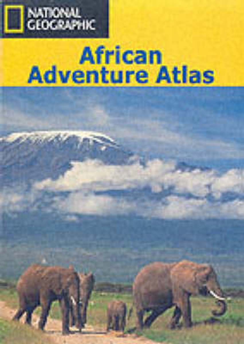
- An African Adventure Atlas
- This text divides the African continent into 15 geographical regions which are introduced over 30 pages and serve to lead the reader into the sections of the atlas, comprising National Parks, town plans and adventure activities. For ease of reference, colour-coded "tabs" clearly identify the different secitons, which include: Morocco and the... Read more
- Also available from:
- Bol.com, Belgium
Belgium
- An African Adventure Atlas
- This text divides the African continent into 15 geographical regions which are introduced over 30 pages and serve to lead the reader into the sections of the atlas, comprising National Parks, town plans and adventure activities. For ease of reference, colour-coded "tabs" clearly identify the different secitons, which include: Morocco and the... Read more
Karten
Netherlands
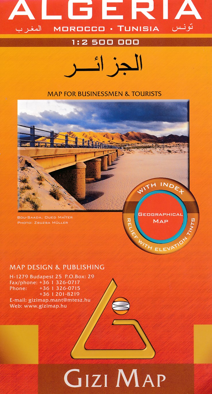
- Wegenkaart - landkaart Algeria - Algerije | Gizi Map
- Algeria Geographical Map 1 : 2 500 000 ab 11.95 EURO Morocco, Tunesia Gizi Map. new edition Read more
.jpg)
Netherlands
2010
- Wegenkaart - landkaart Algeria - Algerije | ITMB
- Algeria ab 10.49 EURO ITMB Afrika & Mittlerer Osten Read more
Netherlands
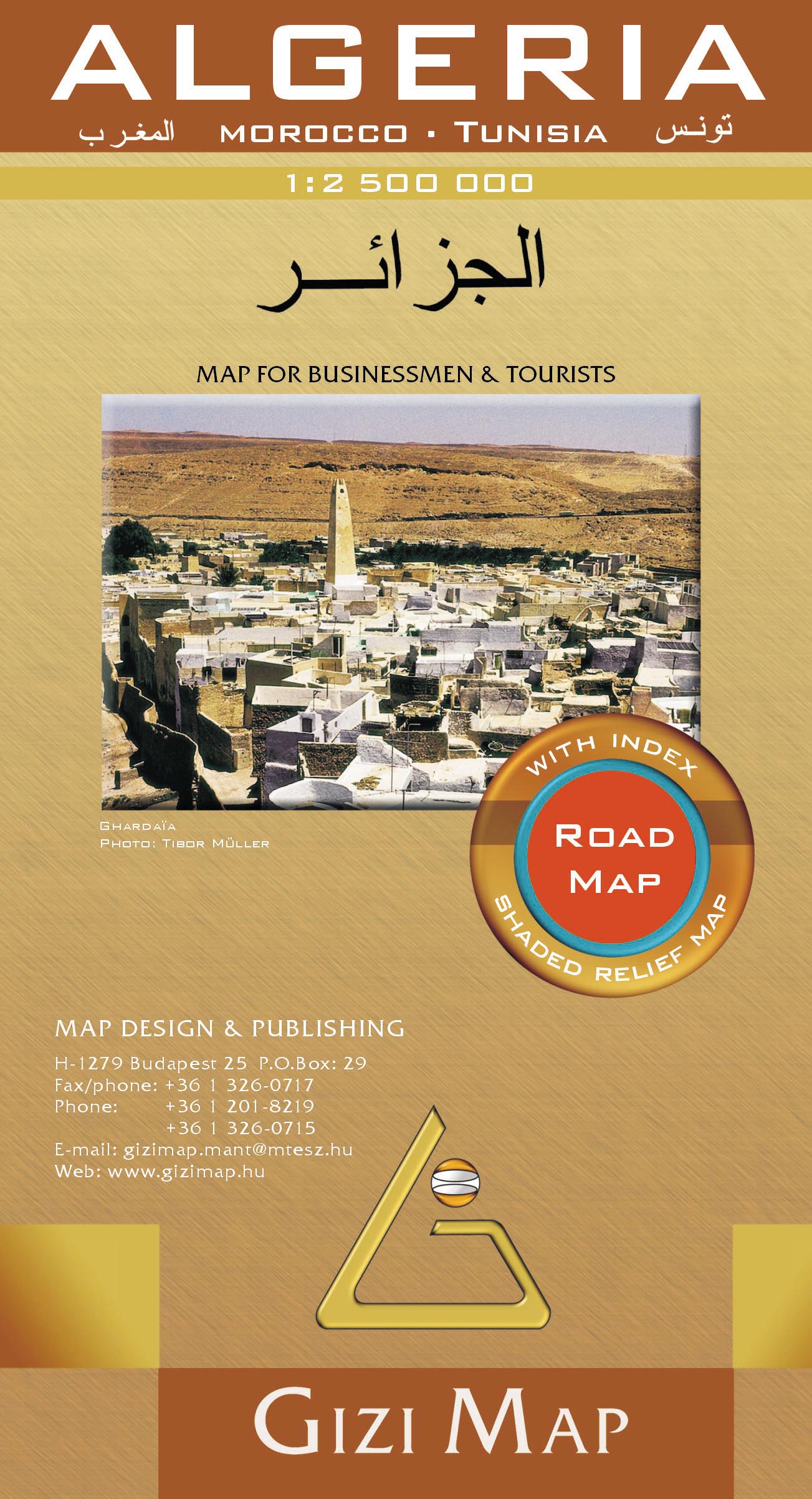
- Wegenkaart - landkaart Algeria - Algerije | Gizi Map
- Algeria Road Map 1 : 1 250 000 ab 11.95 EURO Morocco, Tunisia Gizi Map. Neuauflage. Read more

United Kingdom
- Algeria - Tunisia Michelin
- The Michelin National road map of Algeria & Tunisia at 1:1,000,000 scale is ideal for trip & route planning. The map gives comprehensive coverage of national road networks showing all major motorways, dual carriageways, national & regional main roads and some local roads. Also shows unsurfaced roads & tracks and major footpaths. Road obstacles... Read more