
Mount Ragang
Beschreibung
- Höhe 2815.00 m
Mount Ragang is a statovolcano on the island of Mindanao, in the south of the Philippines.
Links
Fakten
Berichte
Führer und Karten
Übernachtung
Organisationen
Reisebüros
GPS
Sonstiges
Bücher

De Zwerver
Netherlands
Netherlands
- Also available from:
- Bol.com, Netherlands
- Bol.com, Belgium
Bol.com
Netherlands
Netherlands
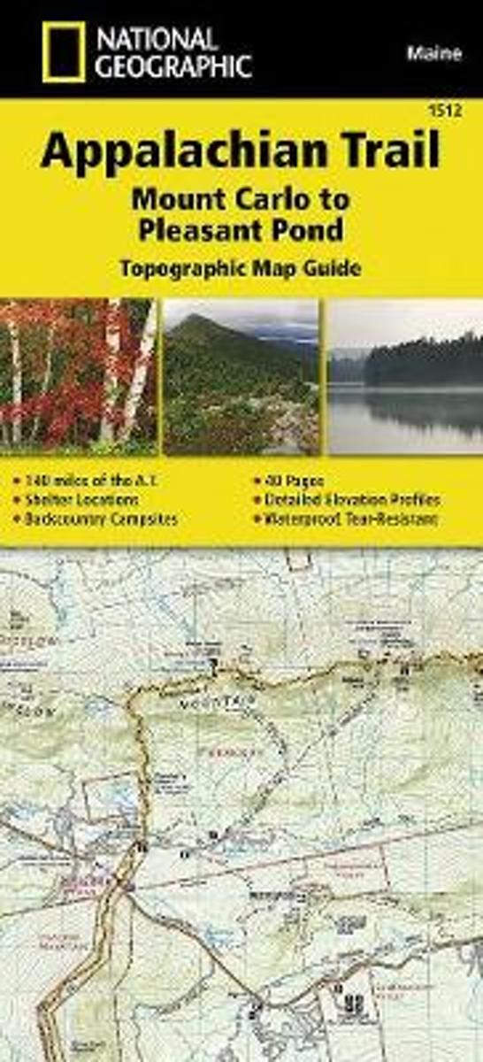
- Appalachian Trail, Mount Carlo To Pleasant Pond, Maine
- Waterproof Tear-Resistant Topographic Map GuideThe Mount Carlo to Pleasant Pond Topographic Map Guide makes a perfect traveling companion when traversing the southern Maine section of the Appalachian Trail (A.T.). The A.T. through Maine offers some of the most challenging sections of trail along the A.T., both in rugged terrain and... Read more
Bol.com
Belgium
Belgium
- Appalachian Trail, Mount Carlo To Pleasant Pond, Maine
- Waterproof Tear-Resistant Topographic Map GuideThe Mount Carlo to Pleasant Pond Topographic Map Guide makes a perfect traveling companion when traversing the southern Maine section of the Appalachian Trail (A.T.). The A.T. through Maine offers some of the most challenging sections of trail along the A.T., both in rugged terrain and... Read more
Bol.com
Netherlands
2015
Netherlands
2015
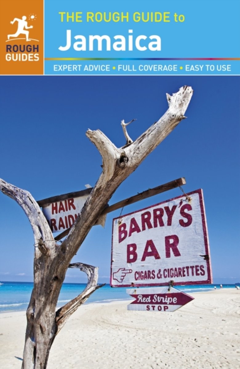
- Rough Guide - Jamaica
- The Rough Guide to Jamaica is the ultimate travel guide to the most captivating of the Caribbean islands. From dining by the sea to dancing under the stars, we've picked out the best of Jamaica, with full-colour pictures offering a taste of what to expect.Detailed practical advice covers everything from restaurants and accommodation to tipping... Read more
- Also available from:
- Bol.com, Belgium
Bol.com
Belgium
2015
Belgium
2015
- Rough Guide - Jamaica
- The Rough Guide to Jamaica is the ultimate travel guide to the most captivating of the Caribbean islands. From dining by the sea to dancing under the stars, we've picked out the best of Jamaica, with full-colour pictures offering a taste of what to expect.Detailed practical advice covers everything from restaurants and accommodation to tipping... Read more
De Zwerver
Netherlands
Netherlands
- Also available from:
- Bol.com, Netherlands
- Bol.com, Belgium
Bol.com
Netherlands
Netherlands
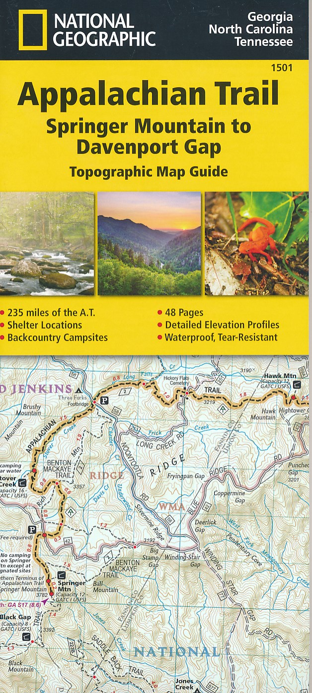
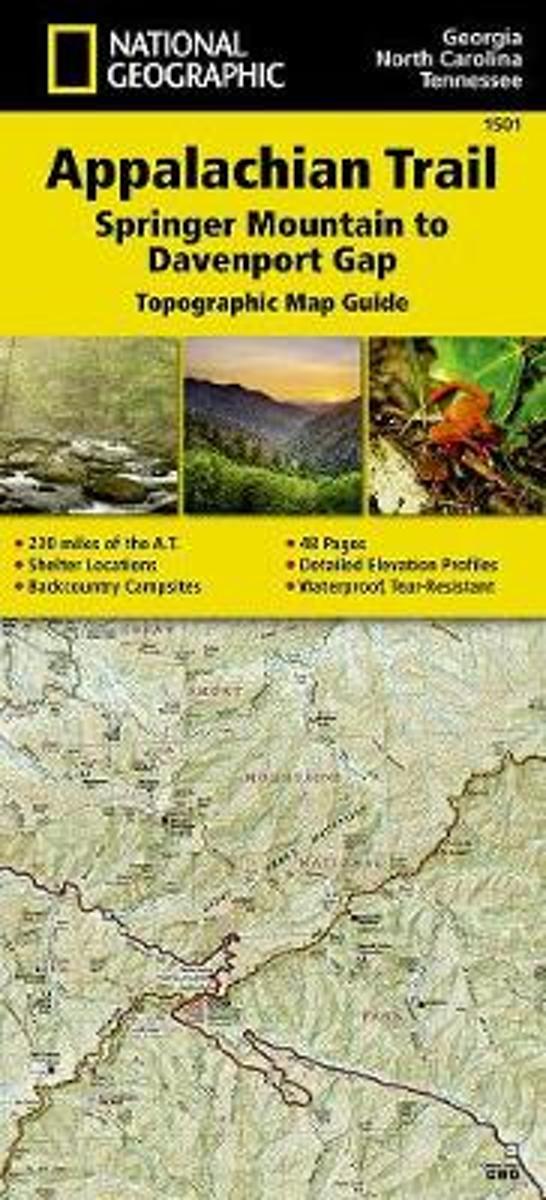
- Appalachian Trail, Springer Mountain To Davenport Gap, Georgia, North Carolina, Tennessee
- Waterproof Tear-Resistant Topographic Map GuideThe Springer Mountain to Davenport Gap Topographic Map Guide makes a perfect traveling companion when traversing the Georgia, southeastern Tennessee and southwestern North Carolina, section of the Appalachian Trail (A.T.). The southern most section of the A.T. which starts at Georgia's... Read more
Bol.com
Belgium
Belgium
- Appalachian Trail, Springer Mountain To Davenport Gap, Georgia, North Carolina, Tennessee
- Waterproof Tear-Resistant Topographic Map GuideThe Springer Mountain to Davenport Gap Topographic Map Guide makes a perfect traveling companion when traversing the Georgia, southeastern Tennessee and southwestern North Carolina, section of the Appalachian Trail (A.T.). The southern most section of the A.T. which starts at Georgia's... Read more
Bol.com
Netherlands
Netherlands
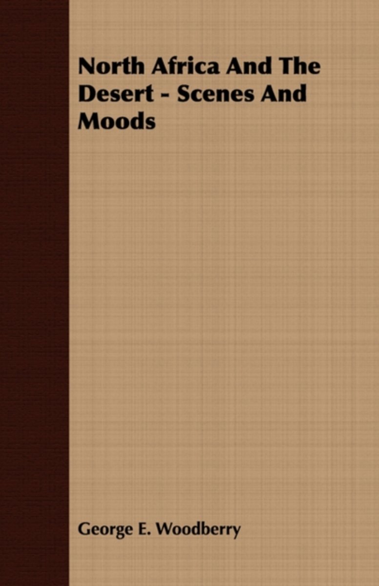
- North Africa And The Desert - Scenes And Moods
- NORTH AFRICA AND THE DESERT SCENES AND MOODS BY GEORGE E. WOODBERRY NEW YORK CHABLES SCRIBNERS SONS 1914 COPYBIGHT, 1914, BT CHARLES SCRIBNEBS SONS Published April, 1914 SETH LOW LONG AIT FRIEND AND ONCE MT A STATESMAN INTERESTED IN ALL THAT PERTAINS TO HUMAN WELFARE I DEDICATE CONFIDENT OP HIS SYMPATHY THIS BOOK OF THE ARAB WORLD CONTENTS PAGE... Read more
- Also available from:
- Bol.com, Belgium
Bol.com
Belgium
Belgium
- North Africa And The Desert - Scenes And Moods
- NORTH AFRICA AND THE DESERT SCENES AND MOODS BY GEORGE E. WOODBERRY NEW YORK CHABLES SCRIBNERS SONS 1914 COPYBIGHT, 1914, BT CHARLES SCRIBNEBS SONS Published April, 1914 SETH LOW LONG AIT FRIEND AND ONCE MT A STATESMAN INTERESTED IN ALL THAT PERTAINS TO HUMAN WELFARE I DEDICATE CONFIDENT OP HIS SYMPATHY THIS BOOK OF THE ARAB WORLD CONTENTS PAGE... Read more
De Zwerver
Netherlands
Netherlands
- Also available from:
- Bol.com, Netherlands
- Bol.com, Belgium
Bol.com
Netherlands
Netherlands
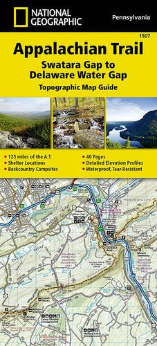
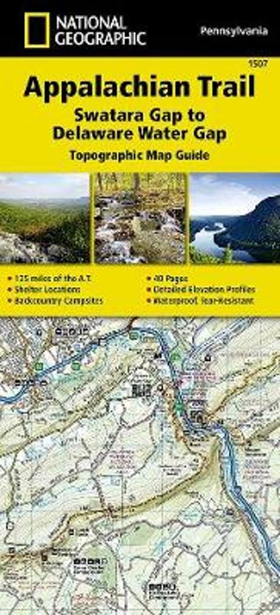
- Appalachian Trail, Swatara Gap To Delaware Water Gap, Pennsylvania
- Waterproof Tear-Resistant Topographic Map GuideThe Swatara Gap to Delaware Water Gap Topographic Map Guide makes a perfect traveling companion when traversing the northeastern Pennsylvania section of the Appalachian Trail (A.T.). The trail in this section of Pennsylvania primarily travels across flat, rocky ridges mixed with strenuous... Read more
Bol.com
Belgium
Belgium
- Appalachian Trail, Swatara Gap To Delaware Water Gap, Pennsylvania
- Waterproof Tear-Resistant Topographic Map GuideThe Swatara Gap to Delaware Water Gap Topographic Map Guide makes a perfect traveling companion when traversing the northeastern Pennsylvania section of the Appalachian Trail (A.T.). The trail in this section of Pennsylvania primarily travels across flat, rocky ridges mixed with strenuous... Read more

Stanfords
United Kingdom
United Kingdom
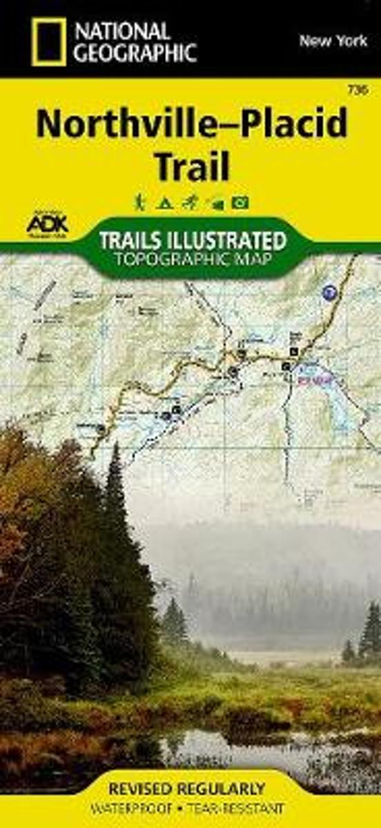
- Northville-Placid Trail NY
- Map No. 736 covering at 1:75,000 the Northville-Placid Trail (NPT) across the Adirondack Park in northern New York State. The title is part of an extensive series in the National Geographic’s Trails Illustrated imprint of GPS compatible, contoured hiking maps of USA’s national and state parks or forests and other popular recreational areas.... Read more
- Also available from:
- Bol.com, Netherlands
- Bol.com, Belgium
Bol.com
Netherlands
Netherlands
- Northville-placid Trail, New York
- Waterproof Tear-Resistant Topographic Map GuideNational Geographic's Trails Illustrated map of the Adirondack Park, Northville-Placid Trail combines unmatched detail with helpful information to offer an invaluable tool for making the most of your visit to this 130 plus mile long trail. The Northville-Placid Trail (NPT) is the jewel in the... Read more
Bol.com
Belgium
Belgium
- Northville-placid Trail, New York
- Waterproof Tear-Resistant Topographic Map GuideNational Geographic's Trails Illustrated map of the Adirondack Park, Northville-Placid Trail combines unmatched detail with helpful information to offer an invaluable tool for making the most of your visit to this 130 plus mile long trail. The Northville-Placid Trail (NPT) is the jewel in the... Read more
Bol.com
Netherlands
Netherlands
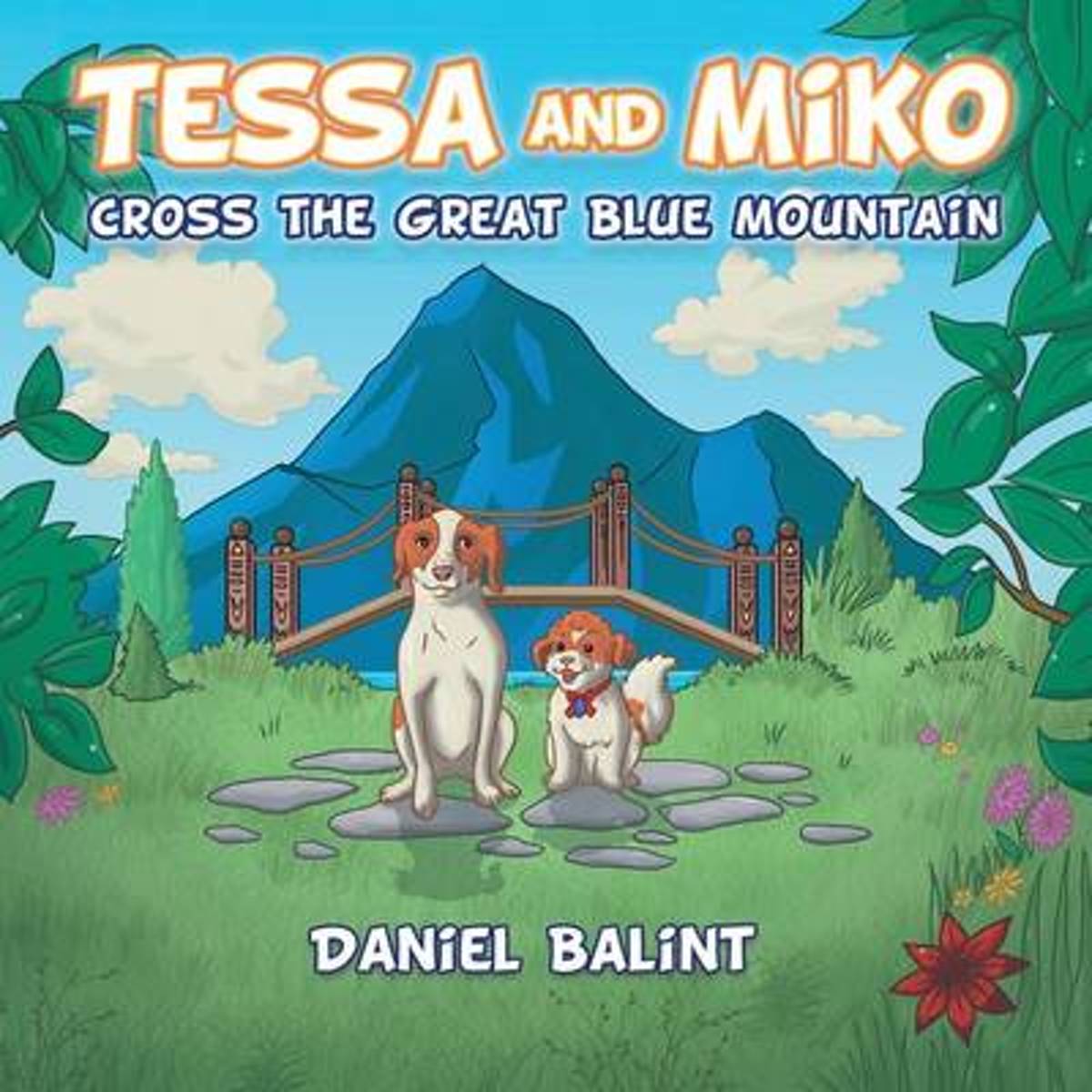
- Tessa and Miko Cross the Great Blue Mountain
- Tessa is a special puppy with a special nose, and along with her new puppy friend Miko, a very helpful birdie and some pals, they re going on a fun filled adventure across the great blue mountain!This book is meant to bring joy and happiness to those little ones who may or may not have their own furry friend .This fun filled tale expresses the... Read more
- Also available from:
- Bol.com, Belgium
Bol.com
Belgium
Belgium
- Tessa and Miko Cross the Great Blue Mountain
- Tessa is a special puppy with a special nose, and along with her new puppy friend Miko, a very helpful birdie and some pals, they re going on a fun filled adventure across the great blue mountain!This book is meant to bring joy and happiness to those little ones who may or may not have their own furry friend .This fun filled tale expresses the... Read more
Bol.com
Netherlands
Netherlands
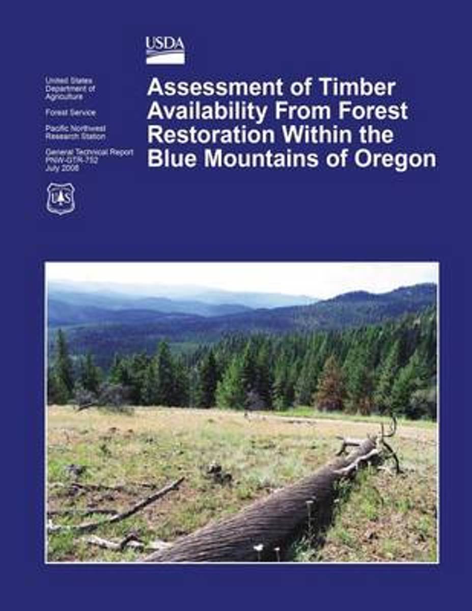
- Assessment of Timber Availability from Forest Restoration Within the Blue Mountains of Oregon
- Changes in forest management have detrimentally affected the economic health of small communities in the Blue Mountain region of Oregon over the past few decades. A build-up of small trees threatens the ecological health of these forests and increases wildland fire hazard. Hoping to boost their economies and also restore these forests, local... Read more
- Also available from:
- Bol.com, Belgium
Bol.com
Belgium
Belgium
- Assessment of Timber Availability from Forest Restoration Within the Blue Mountains of Oregon
- Changes in forest management have detrimentally affected the economic health of small communities in the Blue Mountain region of Oregon over the past few decades. A build-up of small trees threatens the ecological health of these forests and increases wildland fire hazard. Hoping to boost their economies and also restore these forests, local... Read more
Bol.com
Netherlands
Netherlands
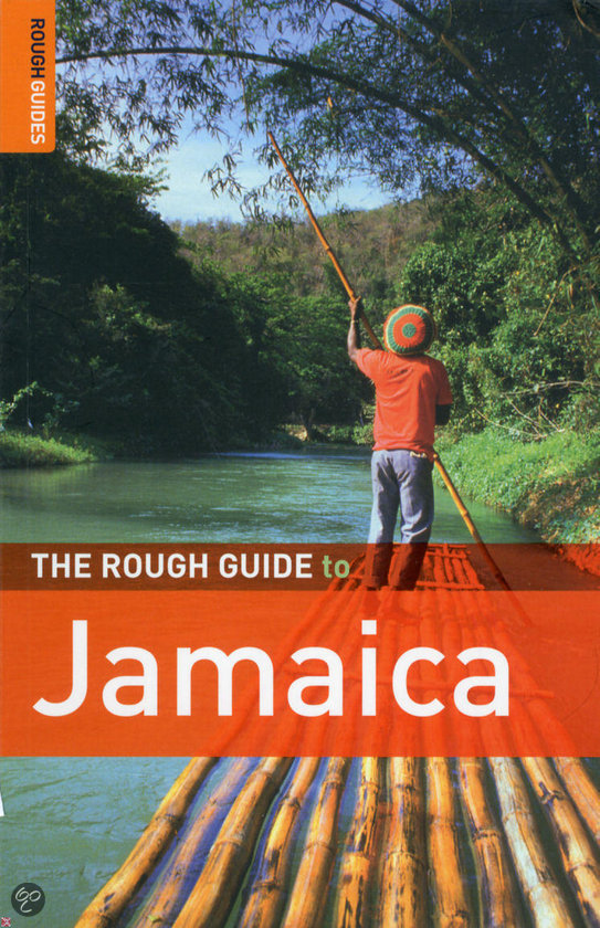
- The Rough Guide to Jamaica
- The Rough Guide to Jamaica is the ultimate travel guide to the most captivating of the Caribbean islands. From dining by the sea to dancing under the stars, we've picked out the best of Jamaica, with full-colour pictures offering a taste of what to expect. Detailed practical advice covers everything from restaurants and accommodation to tipping... Read more
- Also available from:
- Bol.com, Belgium
Bol.com
Belgium
Belgium
- The Rough Guide to Jamaica
- The Rough Guide to Jamaica is the ultimate travel guide to the most captivating of the Caribbean islands. From dining by the sea to dancing under the stars, we've picked out the best of Jamaica, with full-colour pictures offering a taste of what to expect. Detailed practical advice covers everything from restaurants and accommodation to tipping... Read more
Bol.com
Netherlands
Netherlands
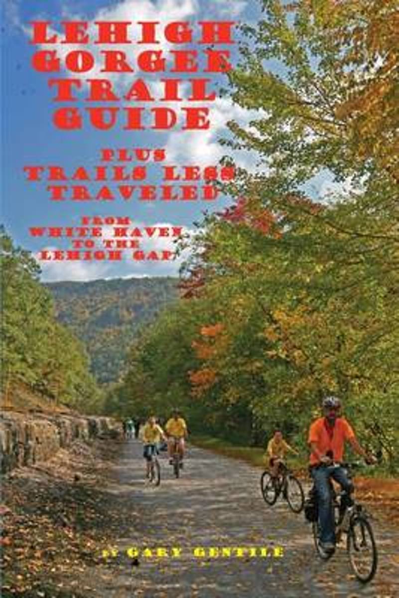
- Lehigh Gorge Trail Guide
- Trails that are more or less traveled. In view of the fact that the borough of Jim Thorpe was named after an Olympic champion, it is fitting that the area is renowned for such physical outdoor activities as hiking, biking, and jogging in the surrounding hinterland (plus snowshoeing and cross-country skiing during the winter months). Hundreds of... Read more
- Also available from:
- Bol.com, Belgium
Bol.com
Belgium
Belgium
- Lehigh Gorge Trail Guide
- Trails that are more or less traveled. In view of the fact that the borough of Jim Thorpe was named after an Olympic champion, it is fitting that the area is renowned for such physical outdoor activities as hiking, biking, and jogging in the surrounding hinterland (plus snowshoeing and cross-country skiing during the winter months). Hundreds of... Read more

Bol.com
Netherlands
Netherlands
- The Word According to Dog
- A story about lessons in unconditional love, as taught through the powerful language of 'dog' by two fence leaping, tunnel digging, cat-hating, rescue dogs! This is the story of a human life transformed by the experience of being chosen by two dogs - two dogs who were snatched from the cruel hands of the grim reaper just in time by an unlikely... Read more
- Also available from:
- Bol.com, Belgium
Bol.com
Belgium
Belgium
- The Word According to Dog
- A story about lessons in unconditional love, as taught through the powerful language of 'dog' by two fence leaping, tunnel digging, cat-hating, rescue dogs! This is the story of a human life transformed by the experience of being chosen by two dogs - two dogs who were snatched from the cruel hands of the grim reaper just in time by an unlikely... Read more
Karten

Stanfords
United Kingdom
United Kingdom
- Sydney and Region Hema
- Sydney and Region in a series of maps from Hema presenting Australia’s main cities with three maps: a detailed street plan of the central area, a road map of the city with its outer suburbs, plus a map of the wider surrounding region for out-of-town excursions. The Sydney map includes: - An indexed street plan of city centre highlighting... Read more

Stanfords
United Kingdom
United Kingdom
- Ontario Western Street Atlas
- Street atlas of Western Ontario, inclding Amherstburg, Aylmer, Ayr, Belle River, Belmont, Blenheim, Blue Mountain, Brant, Brantford, and other locations. The atlas is part of an extensive coverage of Canadian cities and towns from the country’s largest map publisher, MapArt. The mapping is usually at 1:25,000 or 1:31,250. Colouring... Read more
De Zwerver
Netherlands
Netherlands
- Wandelkaart - Topografische kaart 744 Adirondack Park - Northville - Raquette Lake | National Geographic
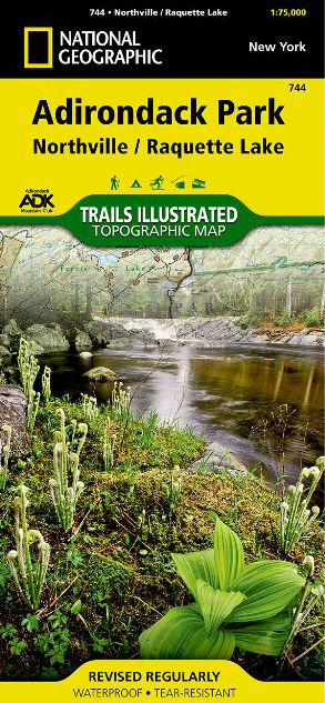
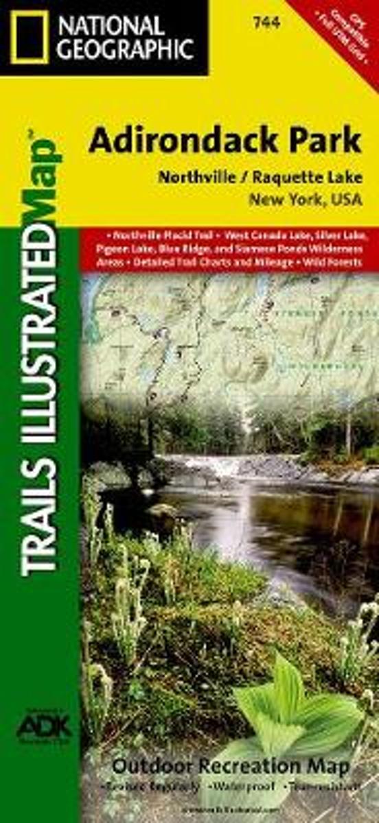
- Prachtige geplastificeerde kaart van het bekende nationaal park. Met alle recreatieve voorzieningen als campsites, maar ook met topografische details en wandelroutes ed. Door uitgekiend kleurgebruik zeer prettig in gebruik. Scheur en watervast! National Geographic's Trails Illustrated map of Adirondack Park Northville/Raquette Lake is a... Read more
- Also available from:
- Stanfords, United Kingdom
- Bol.com, Netherlands
- Bol.com, Belgium

Stanfords
United Kingdom
United Kingdom
- Adirondack Park - Northville - Raquette Lake NY
- Map No. 744, Adirondack Park: Northville - Raquette Lake, NY, in an extensive series of GPS compatible, contoured hiking maps of USA’s national and state parks or forests and other popular recreational areas. Cartography based on the national topographic survey, with additional tourist information.The maps, with most titles now printed on... Read more
Bol.com
Netherlands
Netherlands
- Northville/raquette Lake, Adirondack Park
- Waterproof Tear-Resistant Topographic MapNational Geographic's Trails Illustrated map of Adirondack Park Northville/Raquette Lake is a two-sided, waterproof, topographic trail map designed to meet the needs of outdoor enthusiasts with unmatched durability and detail. This map was created in cooperation with the Adirondack Mountain Club... Read more
Bol.com
Belgium
Belgium
- Northville/raquette Lake, Adirondack Park
- Waterproof Tear-Resistant Topographic MapNational Geographic's Trails Illustrated map of Adirondack Park Northville/Raquette Lake is a two-sided, waterproof, topographic trail map designed to meet the needs of outdoor enthusiasts with unmatched durability and detail. This map was created in cooperation with the Adirondack Mountain Club... Read more
De Zwerver
Netherlands
2016
Netherlands
2016
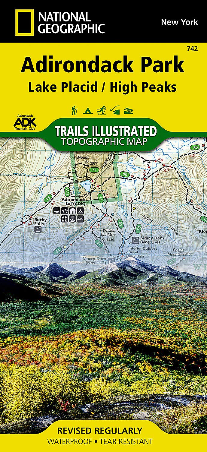
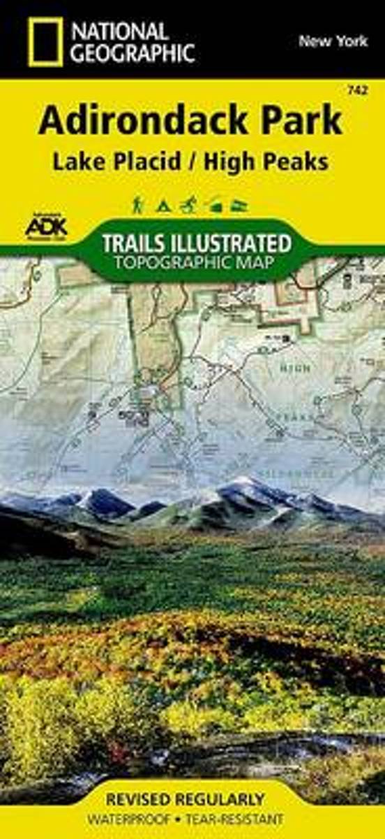
- Wandelkaart Lake Placid, High Peaks: Adirondack Park Map | National Geographic
- Map No. 742, Adirondack Park: Lake Placid - High Peaks, NY, in an extensive series of GPS compatible, contoured hiking maps of USA’s national and state parks or forests and other popular recreational areas. Cartography based on the national topographic survey, with additional tourist information.The maps, with most titles now printed on light,... Read more
- Also available from:
- Stanfords, United Kingdom
- Bol.com, Netherlands
- Bol.com, Belgium
Stanfords
United Kingdom
2016
United Kingdom
2016
- Adirondack Park - Lake Placid - High Peaks NY
- Map No. 742, Adirondack Park: Lake Placid - High Peaks, NY, in an extensive series of GPS compatible, contoured hiking maps of USA’s national and state parks or forests and other popular recreational areas. Cartography based on the national topographic survey, with additional tourist information.The maps, with most titles now printed on light,... Read more
Bol.com
Netherlands
2016
Netherlands
2016
- Lake Placid/high Peaks, Adirondack Park
- Waterproof Tear-Resistant Topographic MapNational Geographic's Trails Illustrated map of Adirondack Park Lake Placid/High Peaks is a two-sided, waterproof, topographic trail map designed to meet the needs of outdoor enthusiasts with unmatched durability and detail. Discover the Adirondack's wild, rugged, and beautiful terrain with the... Read more
Bol.com
Belgium
2016
Belgium
2016
- Lake Placid/high Peaks, Adirondack Park
- Waterproof Tear-Resistant Topographic MapNational Geographic's Trails Illustrated map of Adirondack Park Lake Placid/High Peaks is a two-sided, waterproof, topographic trail map designed to meet the needs of outdoor enthusiasts with unmatched durability and detail. Discover the Adirondack's wild, rugged, and beautiful terrain with the... Read more

De Zwerver
Netherlands
Netherlands
- Wandelkaart 216 Olympic National Park | National Geographic
- Prachtige geplastificeerde kaart van het bekende nationaal park. Met alle recreatieve voorzieningen als campsites, maar ook met topografische details en wandelroutes ed. Door uitgekiend kleurgebruik zeer prettig in gebruik. Scheur en watervast! Within the park, there is detailed coverage of Mount Olympus, Tshletshy Ridge, Hurrican Ridge,... Read more
- Also available from:
- Stanfords, United Kingdom
- Bol.com, Netherlands
- Bol.com, Belgium

Stanfords
United Kingdom
United Kingdom
- Olympic National Park WA
- Map No. 216, Olympic National Park, WA, in an extensive series of GPS compatible, contoured hiking maps of USA’s national and state parks or forests and other popular recreational areas. Cartography based on the national topographic survey, with additional tourist information.The maps, with most titles now printed on light, waterproof and... Read more

Bol.com
Netherlands
Netherlands
- Olympic National Park
- Waterproof Tear-Resistant Topographic MapOlympic National Park encompasses four distinctly different ecosystems in its nearly one million acres. National Geographic's Trails Illustrated map of Olympic National Park offers outdoors enthusiasts a valuable tool for exploring the park's old-growth forests, glaciers, untamed rivers, and rugged... Read more
Bol.com
Belgium
Belgium
- Olympic National Park
- Waterproof Tear-Resistant Topographic MapOlympic National Park encompasses four distinctly different ecosystems in its nearly one million acres. National Geographic's Trails Illustrated map of Olympic National Park offers outdoors enthusiasts a valuable tool for exploring the park's old-growth forests, glaciers, untamed rivers, and rugged... Read more