
Istria
Beschreibung
Croatian Peninsula, popular holiday destination.
Links
Fakten
Berichte
Führer und Karten
Übernachtung
Organisationen
Reisebüros
GPS
Sonstiges
Bücher

The Book Depository
United Kingdom
2019
United Kingdom
2019
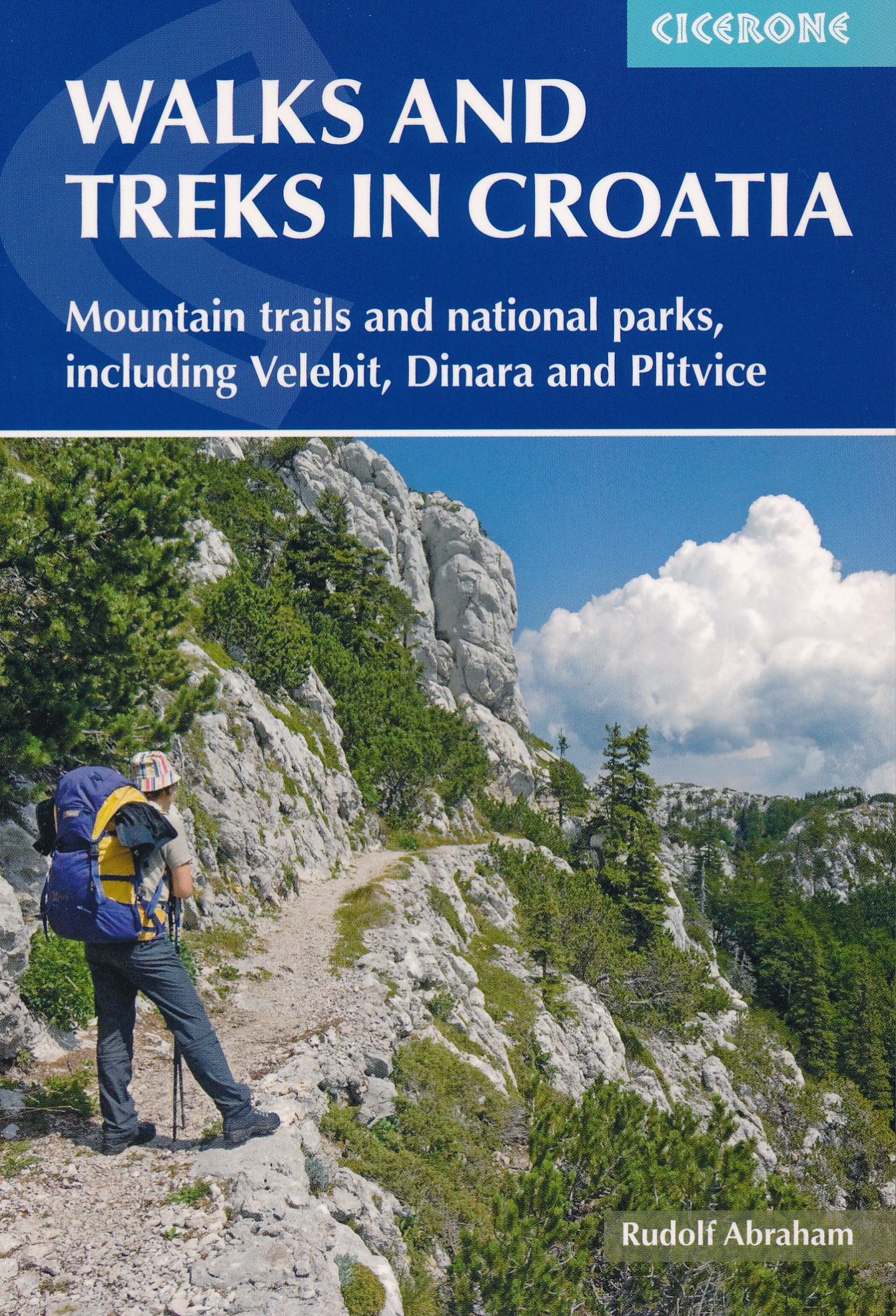
- Walks and Treks in Croatia
- mountain trails and national parks, including Velebit, Dinara and Plitvice Read more
- Also available from:
- De Zwerver, Netherlands
- Stanfords, United Kingdom
De Zwerver
Netherlands
2019
Netherlands
2019
- Wandelgids Walks and treks in Croatia - Kroatië | Cicerone
- This guide describes day walks and treks in all Croatia's main hiking areas and national parks on the mainland, from the forested hills around Zagreb, to the roof of Croatia on the Bosnian border, and the national parks of Northern Velebit, Paklenica, Risnjak, UNESCO-listed Plitvice Lakes and more. Read more

Stanfords
United Kingdom
2019
United Kingdom
2019
- Walks and Treks in Croatia
- Walks and Treks in Croatia: mountain trails and national parks, including Velebit, Dinara and PlitviceThis guide describes 20 walks and 7 short treks in beautiful Croatia. Around half the routes focus on the striking limestone ranges of Gorski kotar and Velebit, which form part of the Dinaric Alps, but there are also routes in Dalmatia and on... Read more
De Zwerver
Netherlands
2022
Netherlands
2022
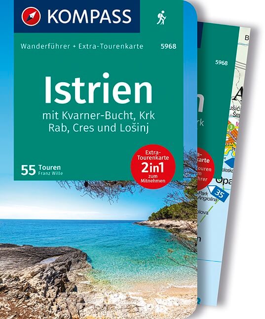
- Wandelgids Istrien - Istrië | Rother Bergverlag
- Goede duitstalige wandelgids. Veel dagtochten, met gradaties en kleuren in zwaarte gerangschikt. Veel praktische informatie. Handzaam formaat. Kroatien wird in den Sommermonaten von vielen Badetouristen besucht, dass es aber auch zahlreiche Wandermöglichkeiten bietet, ist weitgehend unbekannt. Die Mischung von Meer und Bergen sowie die wilden,... Read more

De Zwerver
Netherlands
2019
Netherlands
2019
- Reisgids Marco Polo NL Istrië en Kroatische Kust | 62Damrak
- Marco Polo reisgids voor Istrië. Handig pocketformaat, boordevol informatie, met uitneembare kaart achter in het boek en atlas-pagina's. Met Insider Tips om het échte Istrië te ontdekken en de TOP 15 van bezienswaardigheden in één oogopslag. Veel up-to-date informatie in overzichtelijke hoofdstukken: sightseeing, eten & drinken, winkelen,... Read more

De Zwerver
Netherlands
2012
Netherlands
2012
- Reisgids Kunstreiseführer Friaul und Triest | Dumont
- Das Thema dieses Kunst-Reiseführers ist die italienische Region Friaul- Julisch Venetien. Sie besteht aus zwei Provinzen, von denen das Friaul die weitaus größere ist. Julisch Venetien dagegen umfasst seit 1954 nur noch die Stadt Triest und einen kleinen Küstenstreifen bis Muggia. Wie ein Amphitheater liegt das Friaul im äußersten Nordosten... Read more
De Zwerver
Netherlands
2017
Netherlands
2017
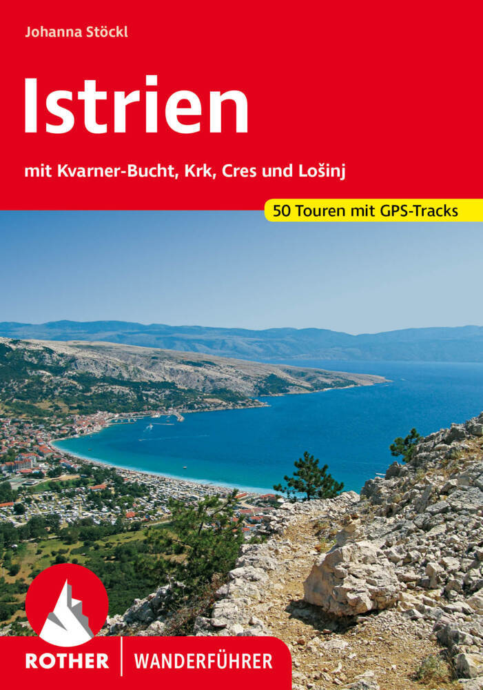
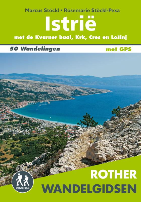
- Wandelgids Istrië | Uitgeverij Elmar
- De Rother wandelgids Istrië beschrijft de 50 mooiste wandelingen langs de kust en in het binnenland van het schiereiland Istrië; in het bergachtige achterland van Reijeka en op de eilanden Krk, Cres en Lošinj. Zoals gebruikelijk zijn er verschillende wandelingen voor beginnende en ervaren wandelaars en is er onmisbare informatie over de streek,... Read more
De Zwerver
Netherlands
2018
Netherlands
2018
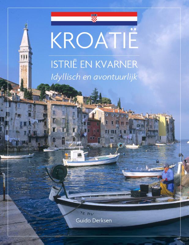
- Reisgids Istrië & Kvarner - Kroatië | Edicola
- Kroatiëkenner Guido Derksen neemt de lezer in deze reisgids mee naar de baaien, bergen en historische plaatsen van Istrië en Kvarner. In het noordwesten van Kroatië liggen twee regio's die veel te bieden hebben. Het populaire schiereiland Istrië heeft prachtige kustplaatsen langs de Adriatische zee, zoals Rovinj, Poreč en Pula. Oude Venetiaanse... Read more
De Zwerver
Netherlands
Netherlands
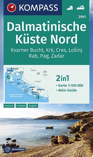
- Wandelkaart 2901 Dalmatinische Küste Nord | Kompass
- - Urlaub im Schäferland? So könnte man den Namen „Dalmatien´´ interpretieren, denn er geht vermutlich auf die Dalmaten zurück. Dieser illyrische Volksstamm war im 1. Jahrhundert mit seinen Schafherden entlang der östlichen Adriaküste unterwegs.- Heute ist die herrliche Küstenregion zwischen der Insel Krk und der historischen,... Read more
- Also available from:
- Stanfords, United Kingdom

Stanfords
United Kingdom
United Kingdom
- Dalmatian Coast North - Krk – Cres – Lošinj – Rab – Pag - Zadar Kompass 2901
- Dalmatian Coast North: Krk - Cres - Lošinj - Rab - Pag - Zadar on a waterproof and tear-resistant, double-sided, detailed and GPS compatible map at 1:100,000 from Kompass, prominently highlighting places of interest and various facilities. Coverage extends from Rijeka southwards to beyond Biograd and Lake Vransko on the mainland and includes... Read more

Stanfords
United Kingdom
United Kingdom
- Croatia - Dalmatian Coast 3-Map Set Kompass 2900
- The Dalmatian Coast of Croatia and Montenegro on a set of three double-sided, detailed and GPS compatible maps at 1:100,000 from Kompass. Combined coverage of the three maps extends from Rijeka to the Albanian border.The maps have contours at 40m intervals, enhanced by relief shading and spot heights. Road network includes unsurfaced country... Read more

Stanfords
United Kingdom
United Kingdom
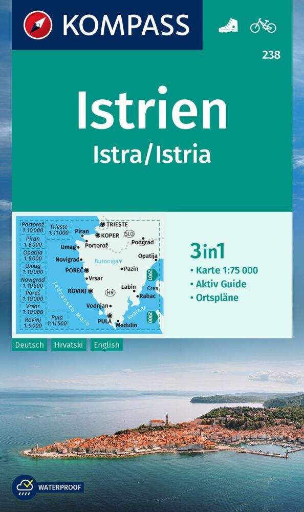
- Istria Kompass 238
- Istria at 1:75,000 on a double-sided, waterproof and tear-resistant, detailed contoured map from Kompass, with hiking and cycling routes, street plans of 10 main towns, plus tourist information. Coverage extends north beyond the Croatian border to include Trieste and the coast of Slovenia. Contours at 50m intervals and spot heights present the... Read more

Stanfords
United Kingdom
2019
United Kingdom
2019
- DK Eyewitness Travel Guide Croatia
- Discover Croatia with this essential travel guide, designed to help you create your own unique trip and to transport you to this beautiful country before you`ve even packed your case - walk the marble streets of Dubrovnik, dip your toe in the azure waters of the Dalmatian Coast, tuck into pasta in Split or marvel at waterfalls in Plitvice Lakes... Read more
Karten
De Zwerver
Netherlands
Netherlands
De Zwerver
Netherlands
Netherlands
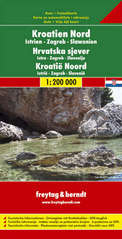
- Wegenkaart - landkaart Kroatië Noord - Croatia North - Kroatien Nord | Freytag & Berndt
- Kroatien Nord 1 : 200 000. Autokarte ab 10.9 EURO Kroatien Nord, Istrien - Zagreb - Slawonien Freytag & Berndt Autokarte. Neuauflage, Laufzeit bis 2019 Read more

Stanfords
United Kingdom
United Kingdom
- Istria Region Bikeline Cycling Atlas
- Istria Cycling Atlas with around 755km of cycling routes from 20km to 65km long (most routes around 28km), presented by the Verlag Esterbauer in guide with maps at 1:75,000 showing the routes and their variants. Extensive information is conveyed by symbols, indicating road surface, campsites and other accommodation, repair workshops,... Read more

Stanfords
United Kingdom
United Kingdom
- Istria: Cicarija Plateau Croatian Mountain Rescue Service 25K Map
- Cicarija Plateau in north-eastern Istria between Opatija and the Slovenian border on a double-sided, contoured and GPS compatible map at 1:25,000 from the Croatian Mountain Rescue Service. Coverage extends from the town on Buzet in the west to the eastern coast between Opatija and Lovran, and includes the northern part of the Ucka Nature... Read more

Stanfords
United Kingdom
United Kingdom
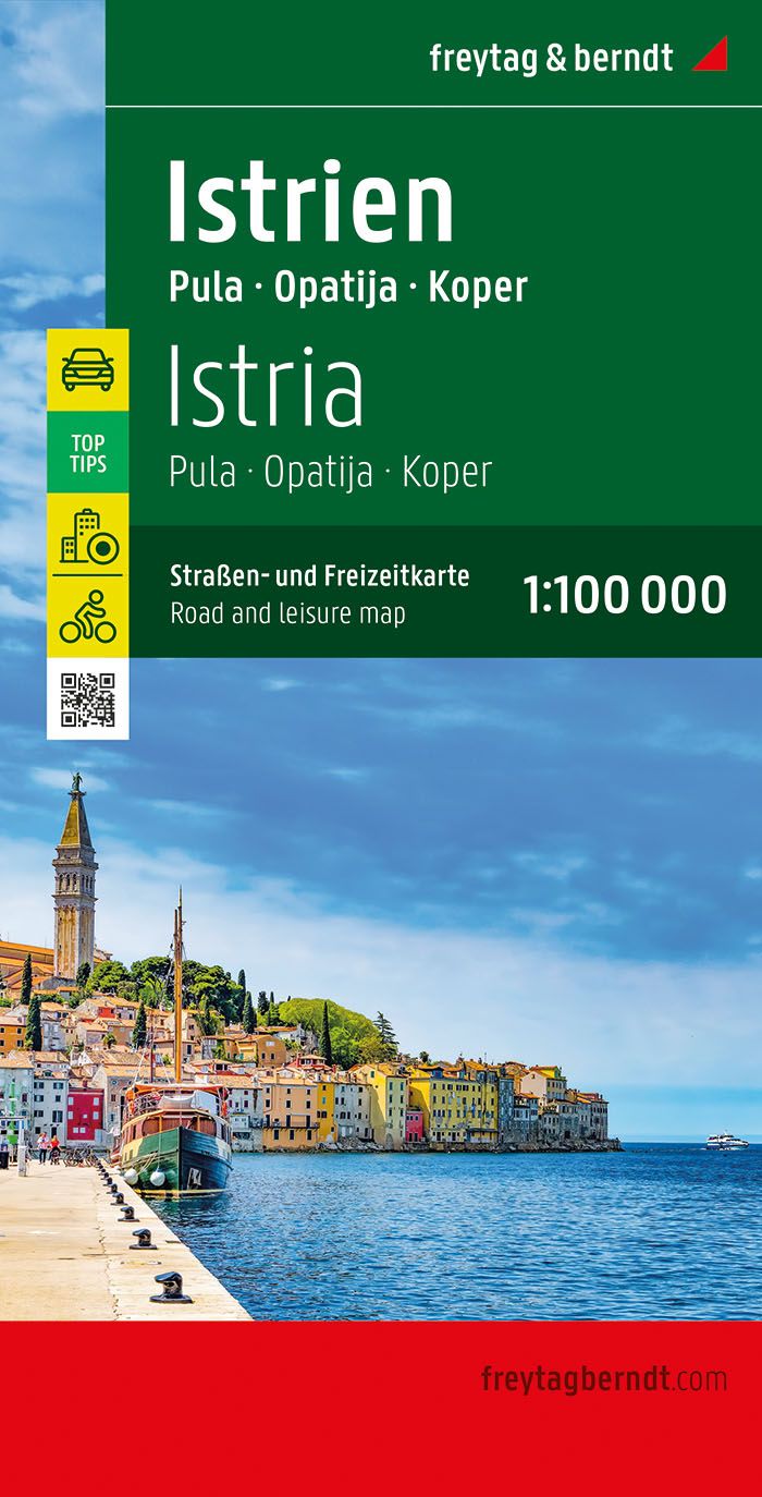
- Istria - Pula F&B Top 10 Tips
- Istria ”Top 10 Tips” double-sided map at 1:100,000 from Freytag & Berndt highlighting recommended cycling trails and picturesque locations, with plans of central Pula, Rovinj, Opatija, Umag and Porec, plus descriptions of the region’s top 10 sights. Coverage extends north to include Trieste and the south-western corner of Slovenia, plus most of... Read more

Stanfords
United Kingdom
United Kingdom
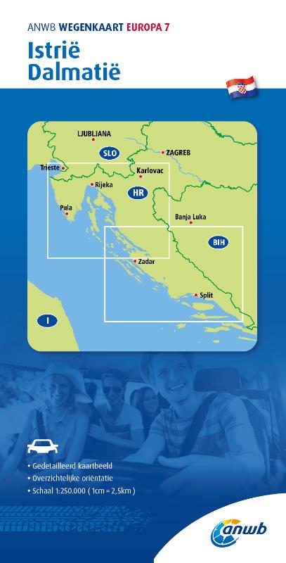
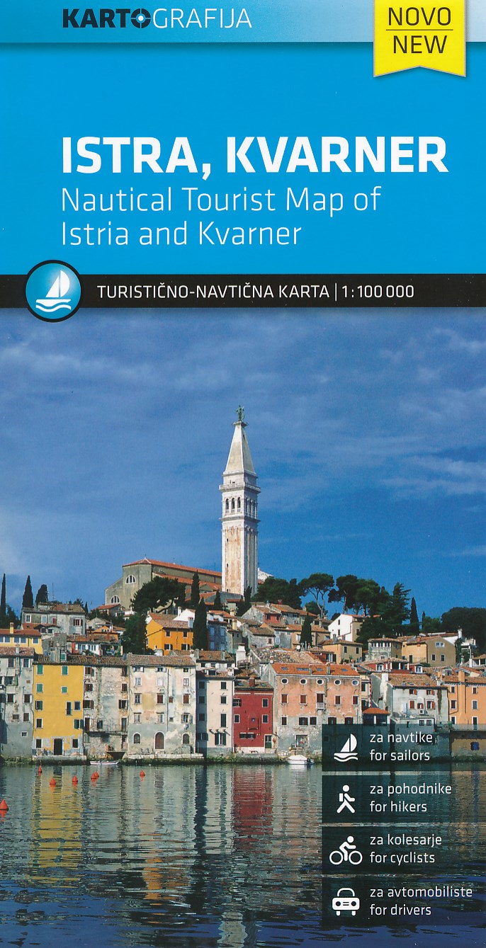
- Istria - Kvarner
- Istria and Kvarner, the northern part of Croatia’s Adriatic coast, at 1:100,000 on a detailed, GPS compatible double-sided road map from Kartografija in Ljubljana highlighting picturesque locations. On one side is Istria with coverage extending north to Trieste - on the reverse the map shows the northern part of the Adriatic coast and its... Read more

Stanfords
United Kingdom
United Kingdom
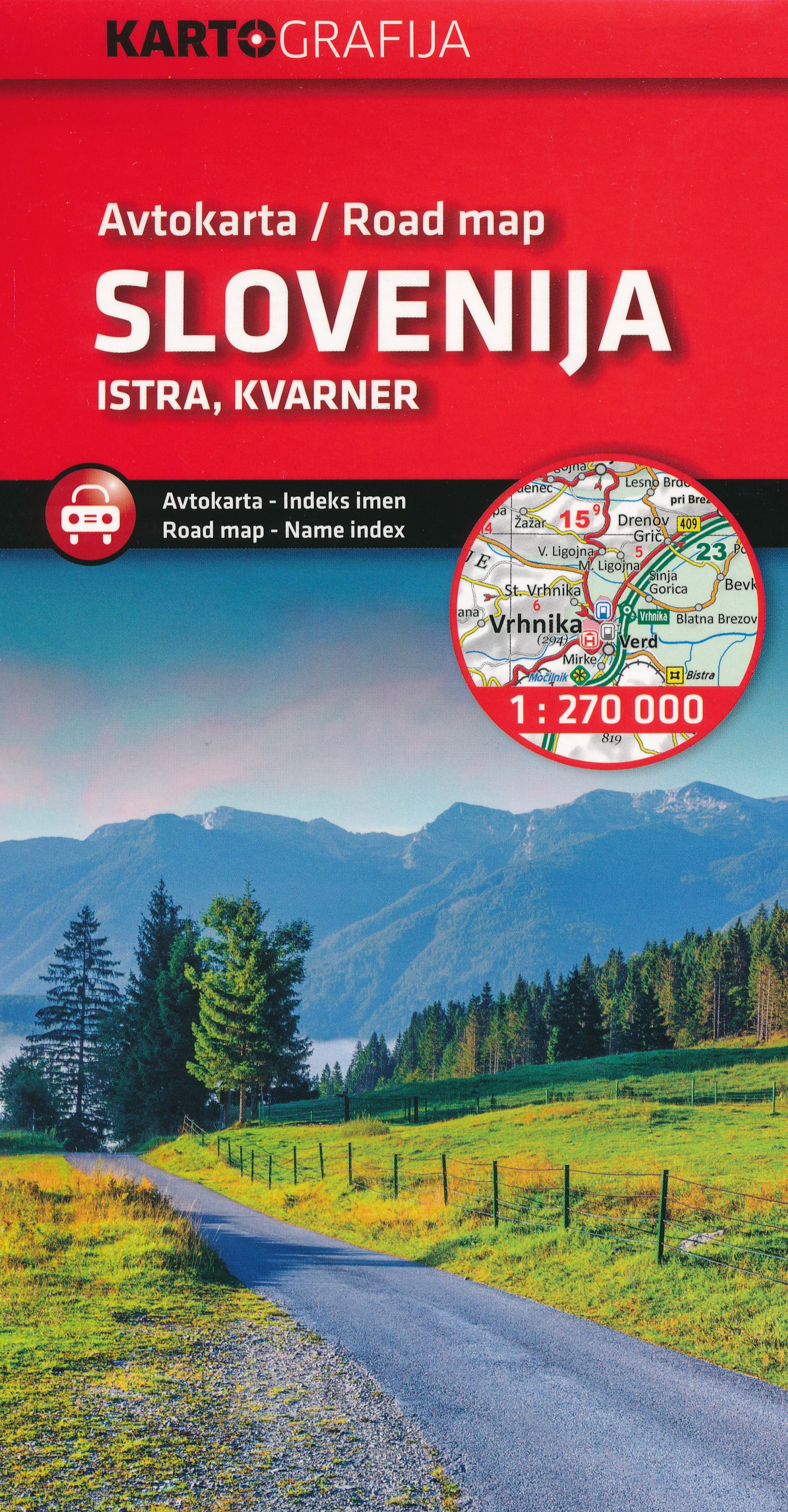
- Slovenia - Istria
- Slovenia with the whole of Istria and the nearby islands on an indexed road map at 1:270,000 from Kartografija, with an enlargement showing in more detailed road access to central Ljubljana. Coverage includes much of Carinthia and north-western Croatia with Zagreb, plus on the reverse in a separate panel Istria with the islands of Krk, Cres,... Read more

Stanfords
United Kingdom
United Kingdom
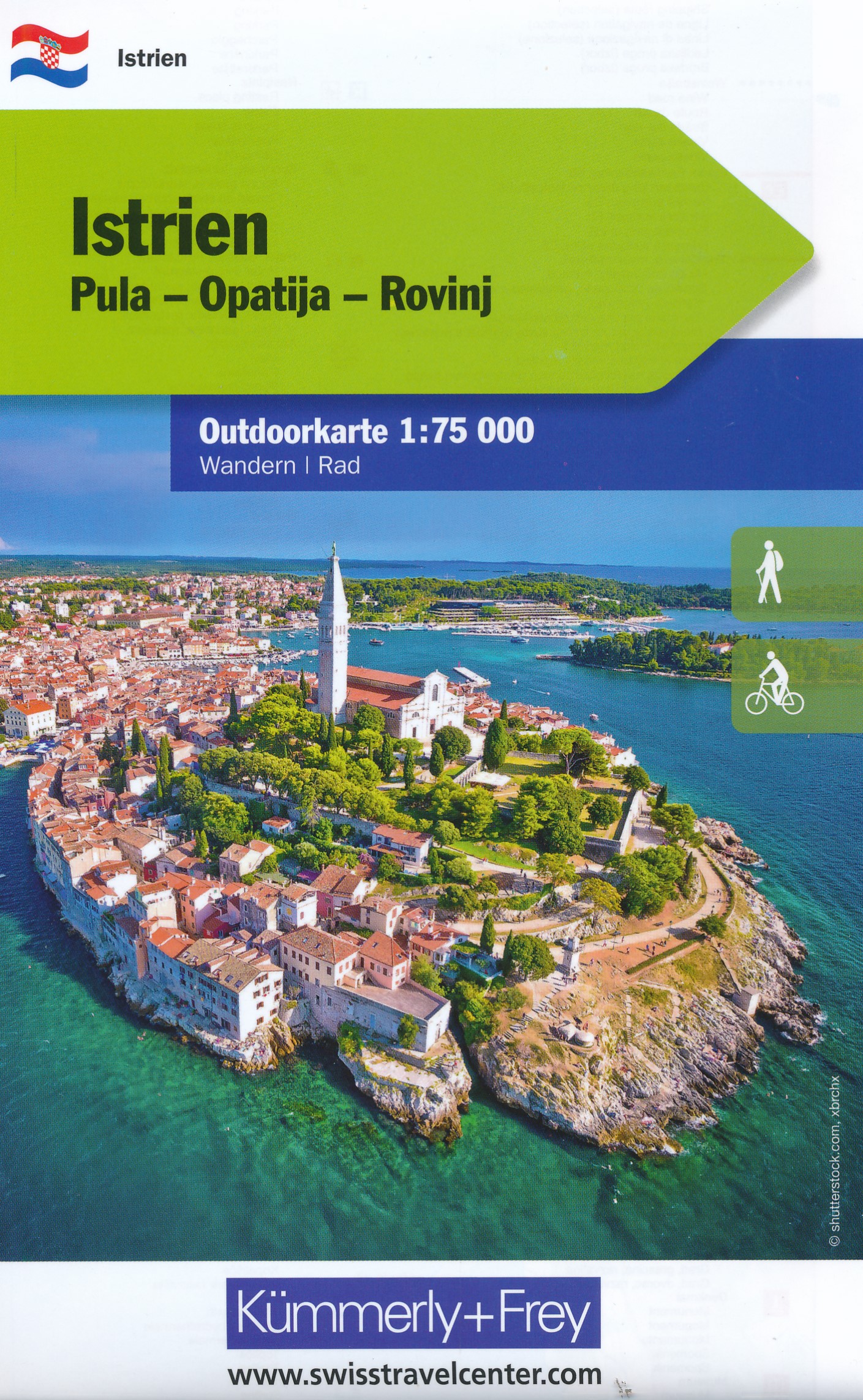
- Istria K+F Outdoor Map
- Istria at 1:75,000 on a double-sided, durable, waterproof and tear-resistant, GPS compatible recreational map from Kümmerly + Frey, with street plans of Pula, Rovinj, Opatija, Umag, Novigrad, Porec and Vrsar. Topography is indicated by contours at 50m intervals, with relief shading and colouring for woodlands. Road network includes small local... Read more