
Allgäuer Alpen
Beschreibung

In the southernmost part of Germany, the Allgäuer Alps is a very popular hiking area. Here, Germany has a piece of beautiful alpine country. The region counts more than 40 huts, and numerous trails. The area is best accessible from the town of Oberstdorf. The Allgäuer Alps run into Austria, and border on the eastern side to the Lech Valley.
The Allgäuer Alps are green in nature, with plenty of alpine meadows (famous Allgäuer cheese). In the northwest lie the Allgäuer Voralpen, a beautiful and spacious area for those who do not want to walk too rough. The eastern ranges form the higher parts, with peaks up to 2600 meters. For those who like steep heights and some easy climbing, the Heilbronner Weg is recommended. This is a ridgewalk following the Austrian-German border.
Due to its popularity, you will find many (German) web sites specifically about this area.
Karte


Wanderwege Region
Links
Fakten
Berichte
Führer und Karten
Übernachtung
Organisationen
Reisebüros
GPS
Sonstiges
Bücher

United Kingdom
2018
- Walking in the Bavarian Alps
- 70 mountain walks and treks in southern Germany Read more
- Also available from:
- De Zwerver, Netherlands
- Stanfords, United Kingdom

Netherlands
2018
- Wandelgids Beieren - Walking in the Bavarian Alps | Cicerone
- Guidebook to mountain walks and treks in the Bavarian Alps, on the border of Germany and Austria, between Lake Constance and Berchtesgaden. Accessible from Munich, Salzburg and Innsbruck, these 70 routes range from half-day walks to 3-day hut-to-hut treks. Highlights include the Königssee and Breitach, Partnach and Höllental gorges. Read more

United Kingdom
2018
- Walking in the Bavarian Alps
- A comprehensive guidebook detailing walks in Germany`s Bavarian Alps. Lying along the German-Austrian border in a thin sliver of land roughly 300km long, this area contains some of the most spectacular walking and beautiful scenery that Germany has to offer. 70 graded walks explore mountain landscapes, wild mountain gorges and alpine meadows as... Read more

Netherlands
2021
- Wandelgids Arlberg - Paznaun | Rother Bergverlag
- Uitstekende wandelgids met een groot aantal dagtochten in dal en hooggebergte. Met praktische informatie en beperkt kaartmateriaal! Wandelingen in verschillende zwaarte weergegeven in rood/blauw/zwart. Zwischen den Allgäuer Alpen und der Silvretta liegt ein wahres Wanderparadies. Dabei darf man sich von den im Untertitel erwähnten Alpin-Zentren... Read more


Netherlands
2022
Netherlands
2022
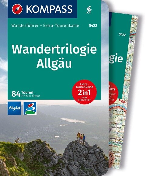
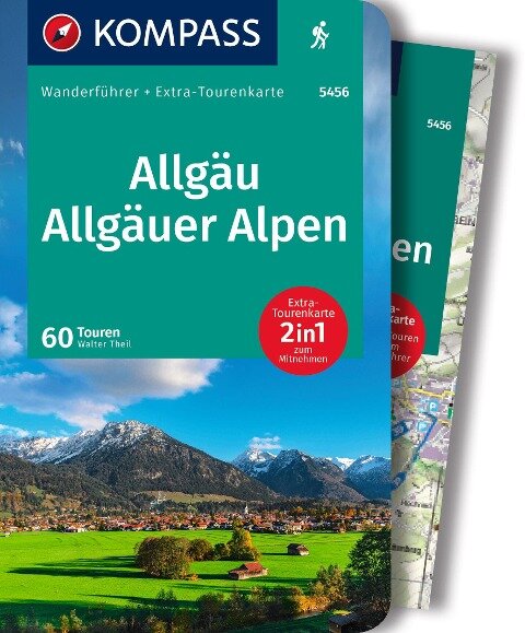
- Wandelgids Allgäuer Wanderberge | Rother Bergverlag
- De ‘Rother Wanderbücher’ behandelen telkens de 50 mooiste wandelingen, die variëren van eenvoudige kindvriendelijke wandelingen tot routes die aanzienlijk meer ervaring vereisen. Uitvoerige routebeschrijvingen, een aantrekkelijke lay-out met vele kleurenfoto’s, niets aan duidelijkheid te wensen gelaten hoogteprofielen, kaartjes met de... Read more

Netherlands
2023
Netherlands
2021
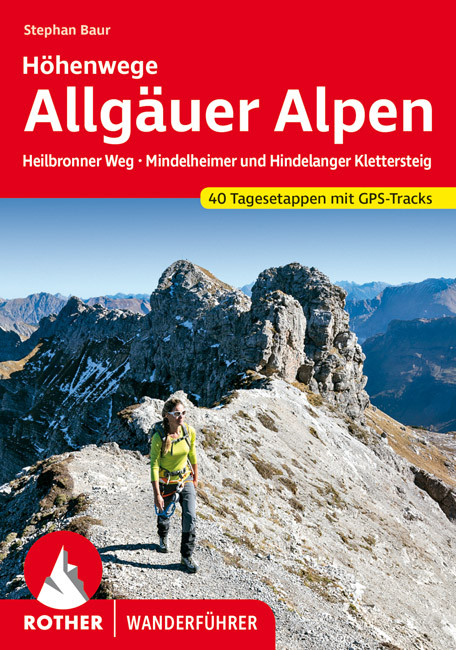
- Klimgids - Klettersteiggids - Wandelgids Allgäuer Alpen | Rother Bergverlag
- Höhenwege und Klettersteige. Mit Heilbronner Weg, Mindelheimer und Hindelanger Klettersteig Rother Wanderführer. 15. Auflage. Read more
Netherlands
2021
Netherlands
2020
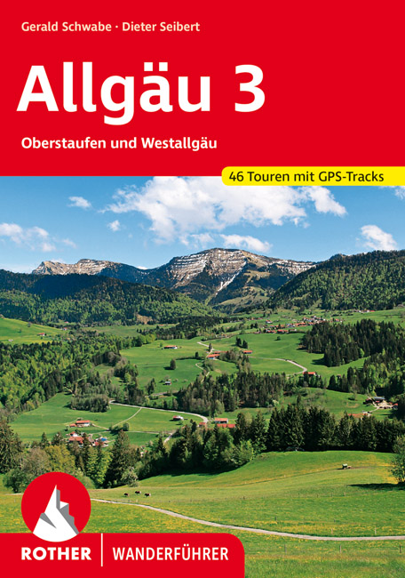
- Wandelgids Allgäu 3 | Rother Bergverlag
- Uitstekende wandelgids met een groot aantal dagtochten in dal en hooggebergte. Met praktische informatie en beperkt kaartmateriaal! Wandelingen in verschillende zwaarte weergegeven in rood/blauw/zwart. Das Westallgäu – begrenzt durch die Orte Bad Waldsee, Wangen, Bregenz, Immenstadt, Kempten und Leutkirch – ist eine sonnige, weite und... Read more
Netherlands
2023
Netherlands
2019
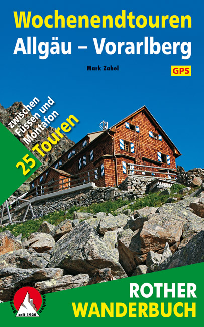
- Wandelgids Wochenendtouren Allgäu - Vorarlberg | Rother Bergverlag
- Een wandelgids met een mooie selectie van 25 twee-daagse tochten tussen Füssen en Montafon in Vorarlberg. Goed beschrijving met kaartmateriaal, hoogteprofielen, praktische informatie. Ein Kurzurlaub in den Bergen – wer denkt nicht ab und zu daran, sich eine kleine Auszeit in der Natur zu gönnen, und sei es nur für ein Wochenende! Da braucht es... Read more
Karten

United Kingdom
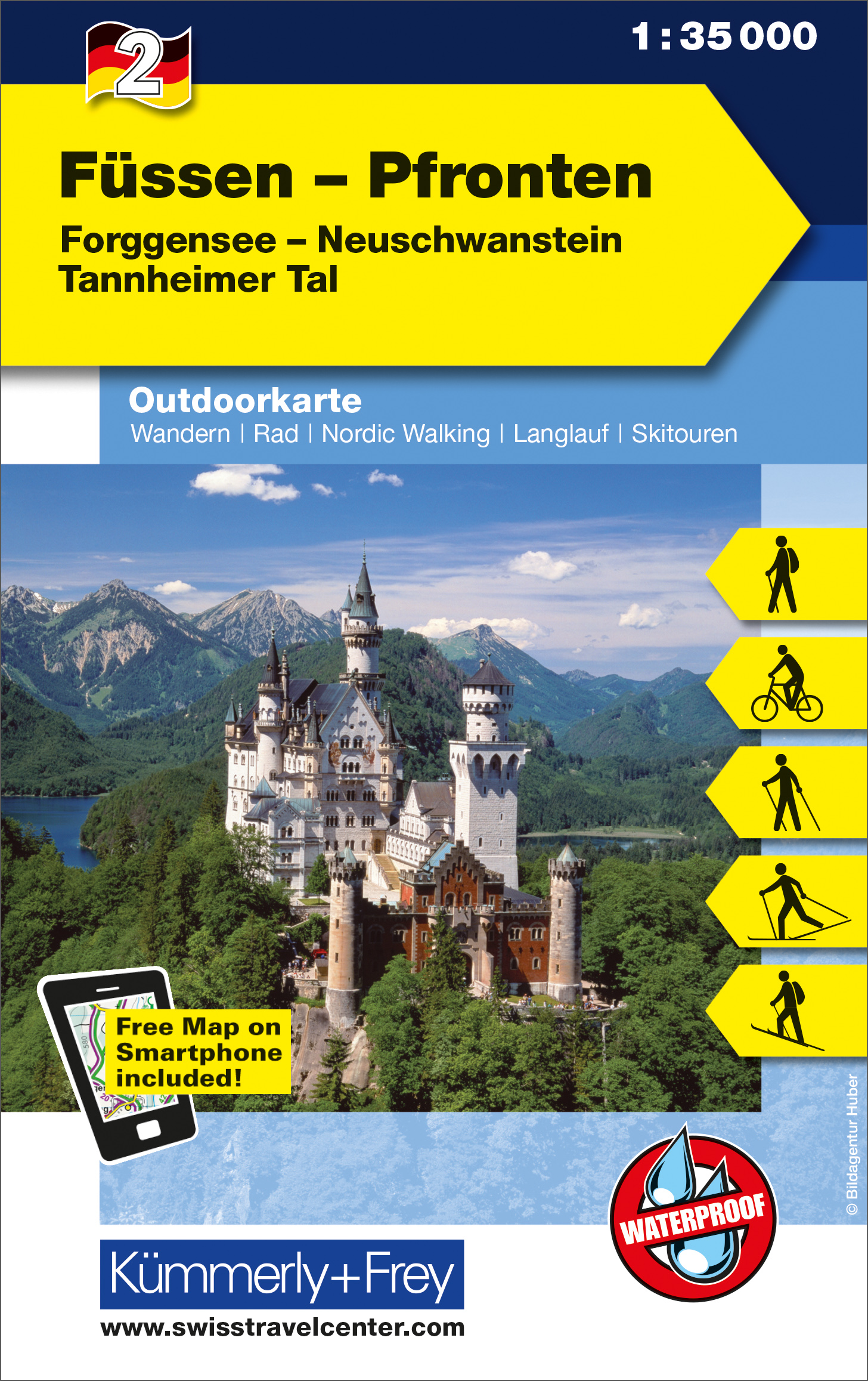
- Fussen / Pfronten 2
- Füssen - Pfronten area of the German Alps at 1:35,000 from Kümmerly+Frey in a series GPS compatible, double-sided maps printed on durable, waterproof and tear-resistant plastic paper; contoured, with hiking and cycle routes, other recreational activities, etc. Coverage includes the Neuschweinstein Castle.Maps in this series are at a scale of... Read more
- Also available from:
- De Zwerver, Netherlands
- Stanfords, United Kingdom
Netherlands
- Wandelkaart 02 Outdoorkarte Füssen - Pfronten | Kümmerly & Frey
- Füssen - Pfronten area of the German Alps at 1:35,000 from Kümmerly+Frey in a series GPS compatible, double-sided maps printed on durable, waterproof and tear-resistant plastic paper; contoured, with hiking and cycle routes, other recreational activities, etc. Coverage includes the Neuschweinstein Castle.Maps in this series are at a scale of... Read more

United Kingdom
- Füssen - Pfronten - Forggensee - Neuschwanstein - Tannheimer Tal K+F Outdorre Map 2
- Füssen - Pfronten area of the German Alps at 1:35,000 from Kümmerly+Frey in a series GPS compatible, double-sided maps printed on durable, waterproof and tear-resistant plastic paper; contoured, with hiking and cycle routes, other recreational activities, etc. Coverage includes the Neuschweinstein Castle.Maps in this series are at a scale of... Read more

United Kingdom
- Crete West
- Western Crete on a double-sided, contoured and GPS compatible map at 1:100,000 from Harms Verlag, with highlighting for numerous places of interest and 20 recommended hiking trails, plus street plans of central Heraklion, Rethymnon and Chania and a plan of the archaeological site at Knossos. All place names are in both Greek and Latin alphabet.... Read more
- Also available from:
- De Zwerver, Netherlands

Netherlands
- Wandelkaart Kreta west | Harms IC Verlag
- Western Crete on a double-sided, contoured and GPS compatible map at 1:100,000 from Harms Verlag, with highlighting for numerous places of interest and 20 recommended hiking trails, plus street plans of central Heraklion, Rethymnon and Chania and a plan of the archaeological site at Knossos. All place names are in both Greek and Latin alphabet.... Read more

United Kingdom
- Dachstein - Ausseerland - Filzmoos - Ramsau Hiking + Leisure Map 1:50 000
- Dachstein - Ausseer Land - Filzmoos - Ramsau - Bad Ischl - Schladming area of the Austrian Alps presented at 1:50,000 in a series of contoured and GPS compatible outdoor leisure map from Freytag & Berndt with hiking and cycling routes, mountain huts, campsites and youth hostels, local bus stops, plus other tourist information. To see the list... Read more
- Also available from:
- Stanfords, United Kingdom

United Kingdom
- Dachstein - Ausseerland - Filzmoos - Ramsau F&B WK281
- Dachstein - Ausseer Land - Filzmoos - Ramsau - Bad Ischl - Schladming area of the Austrian Alps presented at 1:50,000 in a series of contoured and GPS compatible outdoor leisure map from Freytag & Berndt with hiking and cycling routes, mountain huts, campsites and youth hostels, local bus stops, plus other tourist information. To see the list... Read more

United Kingdom
- Also available from:
- Stanfords, United Kingdom

United Kingdom
- Carinthian Alps - Gailtal - Gitschtal - Nassfeld - Lesachtal - Weissensee - Upper Drautal F&B WK223
- Naturarena Kärnten - Gailtal - Gitschtal -Lesachtal - Weissensee - Oberes Drautal area of Carinthia presented at 1:50,000 in a series of contoured and GPS compatible outdoor leisure map from Freytag & Berndt with hiking and cycling routes, mountain huts, campsites and youth hostels, local bus stops, plus other tourist information.To see the... Read more

United Kingdom
- Fragokastelo - Plakias 2016
- Uitstekende topografische kaarten van een deel van Griekenland: zonder meer hele goede kaarten voor wandeltochten in een onbekend stuk Griekenland! Ze zijn gedrukt op scheurvast en watervast papier op een schaal van 1:25.000 met een UTM grid voor GPS gebruikers. Op de meeste kaarten is geven de hoogtelijnen een interval van 20m. aan. Met... Read more
- Also available from:
- De Zwerver, Netherlands

Netherlands
- Wandelkaart 11.17 Frangokastelo - Plakias - Kreta | Anavasi
- Uitstekende topografische kaarten van een deel van Griekenland: zonder meer hele goede kaarten voor wandeltochten in een onbekend stuk Griekenland! Ze zijn gedrukt op scheurvast en watervast papier op een schaal van 1:25.000 met een UTM grid voor GPS gebruikers. Op de meeste kaarten is geven de hoogtelijnen een interval van 20m. aan. Met... Read more

United Kingdom
- Exo Mani 2018
- Uitstekende wandelkaart op scheur- en watervast papier van het wandelgebied rond Kardamyli maar ook nog met Agios Nikolaos. De wandelpaden staan er op ingetekend, zo ook alle bezienswaardigheden als klooster, kastelen en meerdere opgravingen. Mani is the middle and southernmost peninsula of the Peloponnese and is split between Laconia and... Read more
- Also available from:
- De Zwerver, Netherlands

Netherlands
- Wandelkaart 8.10 Exo Mani | Anavasi
- Uitstekende wandelkaart op scheur- en watervast papier van het wandelgebied rond Kardamyli maar ook nog met Agios Nikolaos. De wandelpaden staan er op ingetekend, zo ook alle bezienswaardigheden als klooster, kastelen en meerdere opgravingen. Mani is the middle and southernmost peninsula of the Peloponnese and is split between Laconia and... Read more

United Kingdom
- Also available from:
- Stanfords, United Kingdom

United Kingdom
- Lechtal Alps - Allgau Alps F&B WK351
- Lechtaler - Allgäuer Alpen - Oberstdorf - Landeck area of the Austrian and Bavarian Alps presented at 1:50,000 in a series of contoured and GPS compatible outdoor leisure map from Freytag & Berndt with hiking and cycling routes, mountain huts, campsites and youth hostels, local bus stops, plus other tourist information. To see the list of... Read more

United Kingdom
- Prespa - Vitsi - Voras
- Uitstekende topografische kaarten van een deel van Griekenland: zonder meer hele goede kaarten voor wandeltochten in een onbekend stuk Griekenland! Ze zijn gedrukt op scheurvast en watervast papier op een schaal van 1:50.000 met een UTM grid voor GPS gebruikers. Op de meeste kaarten is geven de hoogtelijnen een interval van 20m. aan. Met... Read more
- Also available from:
- De Zwerver, Netherlands

Netherlands
- Wandelkaart 6.2 Prespa - Vitsi - Voras | Anavasi
- Uitstekende topografische kaarten van een deel van Griekenland: zonder meer hele goede kaarten voor wandeltochten in een onbekend stuk Griekenland! Ze zijn gedrukt op scheurvast en watervast papier op een schaal van 1:50.000 met een UTM grid voor GPS gebruikers. Op de meeste kaarten is geven de hoogtelijnen een interval van 20m. aan. Met... Read more

United Kingdom
- Samaria - Sougia
- Uitstekende topografische kaarten van een deel van Griekenland: zonder meer hele goede kaarten voor wandeltochten in een onbekend stuk Griekenland! Ze zijn gedrukt op scheurvast en watervast papier op een schaal van 1:25.000 met een UTM grid voor GPS gebruikers. Op de meeste kaarten is geven de hoogtelijnen een interval van 20m. aan. Met... Read more
- Also available from:
- De Zwerver, Netherlands
- Stanfords, United Kingdom

Netherlands
- Wandelkaart 11.13 Samaria - Soughia - Kreta | Anavasi
- Uitstekende topografische kaarten van een deel van Griekenland: zonder meer hele goede kaarten voor wandeltochten in een onbekend stuk Griekenland! Ze zijn gedrukt op scheurvast en watervast papier op een schaal van 1:25.000 met een UTM grid voor GPS gebruikers. Op de meeste kaarten is geven de hoogtelijnen een interval van 20m. aan. Met... Read more

United Kingdom
- Samaria - Sougia - Paliochora Anavasi 11.13
- Samaria – Sougia area of the White Mountains on Crete on a waterproof and tear-resistant, GPS compatible and contoured hiking map at 1:25,000 from Anavasi, extending from the famous Gorge of Samaria westwards to Azogyres and Plemeniana, and north past Omalos and the peaks of Troili and Kaimeni Kafala.Topography is shown by contour lines at 20m... Read more

Netherlands
2016
- Wandelgids The Cretan Way E4 | Anavasi
- The Cretan Way is a 500km walking route which takes you from east to west across the varied and spectacular landscapes of Crete. It is the ideal way to discover the rural, mountainous and costal regions of this incredible island. This guide is based on a 28-day walk.This guide includes practical information, maps at a scale of 1:25.000 of... Read more

Netherlands
- Wandelkaart 2.1 Mt. Parnassos | Anavasi
- Parnassos - Kirfis area in a series of waterproof and tear-resistant hiking maps at scales varying from 1:50,000 to 1:10,000, with a UTM grid for GPS users. Contour interval varies depending on the scale, on most maps it is 20m. Relief shading, spot heights, springs, seasonal streams and, in most titles, landscape/land-use variations, e.g.... Read more

Netherlands
- Wandelkaart 2558 Europäischer Fernwanderweg E5 | Kompass
- Ideal für die Planung und für unterwegs! • Übersichtliche Karten im idealen Maßstab 1:50 000 • Handliches Format 100 x 175 mm • Reiß- und wetterfestes Papier – ideal für jede Witterung • Kompakte Reiseführer-Infos zu den Highlights am Weg und Übernachtungsverzeichnis • Extra Stadtpläne mit Infos zu Apotheken, Geldautomaten, Werkstätten usw. Read more

Netherlands
- Wandelkaart 09 Ivrea, Biella e Bassa Valle d'Aosta | IGC - Istituto Geografico Centrale
- Ivrea - Biela - Lower Aosta Valley, map no. 9, in a series contoured hiking maps at 1:50,000 with local trails, long-distance footpaths, mountain accommodation, etc. from the Turin based Istituto Geografico Centrale covering the Italian Alps and Piedmont, the lakes and northern Lombardy, and the Italian Riviera.The maps have contours at 50m... Read more

Netherlands
- Wandelkaart 11 Domodossola e Val Formazza | IGC - Istituto Geografico Centrale
- IGC heeft een serie gedetailleerde wandelkaarten voor het Italiaanse gedeelte van de Alpen (Piemonte). Voldoende gedetailleerd voor het volgen van het lokale wandelnetwerk. Voorzien van schaduwreliëf, hoogtelijnen en referentiehoogtes. Onderscheid in soort wandelpad ( bergpad, bergpad met hindernissen,gletsjerovergang). Ook zijn de... Read more
Netherlands