
Berlin
Beschreibung
Wanderwege Landesteil
Links
Fakten
Berichte
Führer und Karten
Übernachtung
Organisationen
Reisebüros
GPS
Sonstiges
Bücher

- Also available from:
- De Zwerver, Netherlands

The Book Depository
United Kingdom
United Kingdom
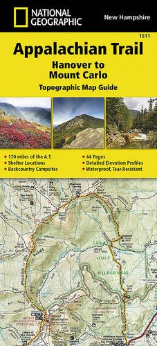
- Appalachian Trail, Hanover To Mount Carlo, New Hampshire
- Trails Illustrated Read more
- Also available from:
- De Zwerver, Netherlands

The Book Depository
United Kingdom
United Kingdom
- Moon London Walks (Second Edition)
- Whether you`re shopping on the high street, strolling lively street markets, or admiring renowned modern art, experience London like a local: on foot. Inside you`ll find:Six customisable walks through the city`s hippest neighbourhoods, including Shoreditch, Chelsea, Marylebone, and more, with colour-coded stops and turn-by-turn... Read more
- Also available from:
- Stanfords, United Kingdom

Stanfords
United Kingdom
United Kingdom
- Moon London Walks - Second Edition
- Whether you`re shopping on the high street, strolling lively street markets, or admiring renowned modern art, experience London like a local: on foot. Inside you`ll find:Six customisable walks through the city`s hippest neighbourhoods, including Shoreditch, Chelsea, Marylebone, and more, with colour-coded stops and turn-by-turn... Read more

The Book Depository
United Kingdom
United Kingdom
- Moon Paris Walks (Second Edition)
- Experience the City of Lights like a local: on foot! Stroll along cobblestone alleys and grand boulevards, discover chic restaurants and trendy shops, and bask in la vie Parisienne with Moon Paris Walks. Inside you`ll find:Six customisable walks through the city`s hippest neighbourhoods, including Montmartre, le Marais, Saint Germain, and more,... Read more
- Also available from:
- Stanfords, United Kingdom

Stanfords
United Kingdom
United Kingdom
- Moon Paris Walks (Second Edition)
- Experience the City of Lights like a local: on foot! Stroll along cobblestone alleys and grand boulevards, discover chic restaurants and trendy shops, and bask in la vie Parisienne with Moon Paris Walks. Inside you`ll find:Six customisable walks through the city`s hippest neighbourhoods, including Montmartre, le Marais, Saint Germain, and more,... Read more

- Also available from:
- De Zwerver, Netherlands

The Book Depository
United Kingdom
United Kingdom
- Moon Rome Walks (Second Edition)
- Experience Rome like a local: on foot! Enjoy a passeggiata through the vibrant streets and cobblestone alleyways of the Eternal City, an ancient capital bustling with modern life. Inside you`ll find:Six customisable walks through the city`s hippest neighbourhoods, including Prati, Trastevere, Monti, and more, with colour-coded stops and... Read more


De Zwerver
Netherlands
2011
Netherlands
2011
- Reisgids Kunstreiseführer Polen | Dumont
- Nur wenige Kilometer von Berlin entfernt beginnt Polen, der große, unbekannte Nachbar Deutschlands, mit dem ihn eine wechselvolle Geschichte verbindet. In der geographischen Mitte Europas gelegen, befand sich das Land seit einem Jahrtausend an der Schnittstelle europäischer Kultur, sodass sich hier eine erstaunliche Vielfalt kultureller... Read more


De Zwerver
Netherlands
2017
Netherlands
2017
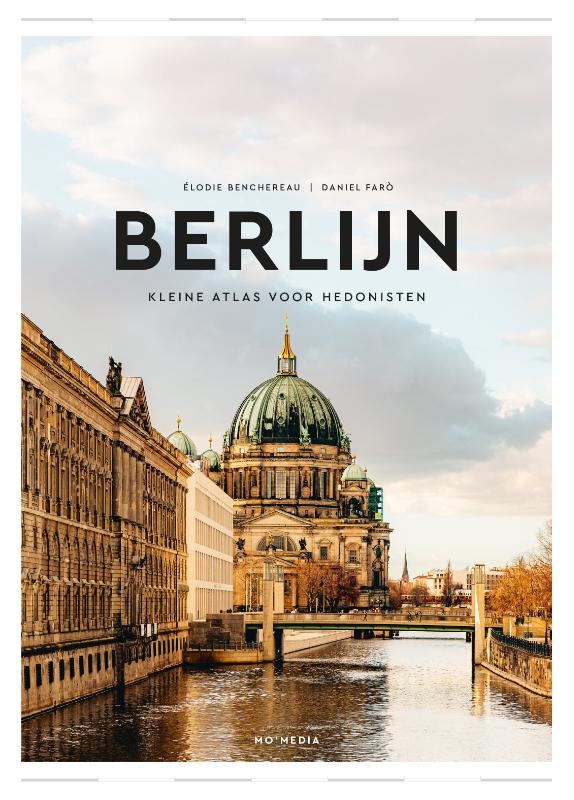
- Reisgids Berlin - Berlijn | Rough Guides
- Zeer goede reisgids voor zowel de georganiseerde maar vooral voor de zelfstandige reiziger. Boordevol informatie over reizen, slapen, eten, maar ook musea en cultuur. Voor Europese landen en steden meestal completer en beter dan de Lonely Planet ! Taking you to the historic city of Berlin, to hikes outside the city, and to every museum in town,... Read more
Karten
De Zwerver
Netherlands
Netherlands
- Wandelkaart 456 Magdeburg - Dessau - Lutherstadt Wittenberg | Kompass
- Goede wandelkaart met vrijwel alle topografische details en ingetekende routes. Ook met symbolen voor toeristische bezienswaardigheden, register. Berghutten duidelijk weergegeven. Gevaarlijke wandelroutes zijn goed herkenbaar. GPS toepasbaar. KOMPASS-Wanderkarten enthalten alles Wissenswerte für Wanderer wie aktuelle Wanderwege mit... Read more
De Zwerver
Netherlands
Netherlands
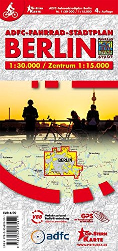
- Fietskaart ADFC Fahrradstadtplan Berlin | Pietruska
- ADFC Fahrradstadtplan Berlin 1: 30 000 / Zentrum 1 : 15 000 ab 6.9 EURO 4. Auflage Read more
De Zwerver
Netherlands
Netherlands
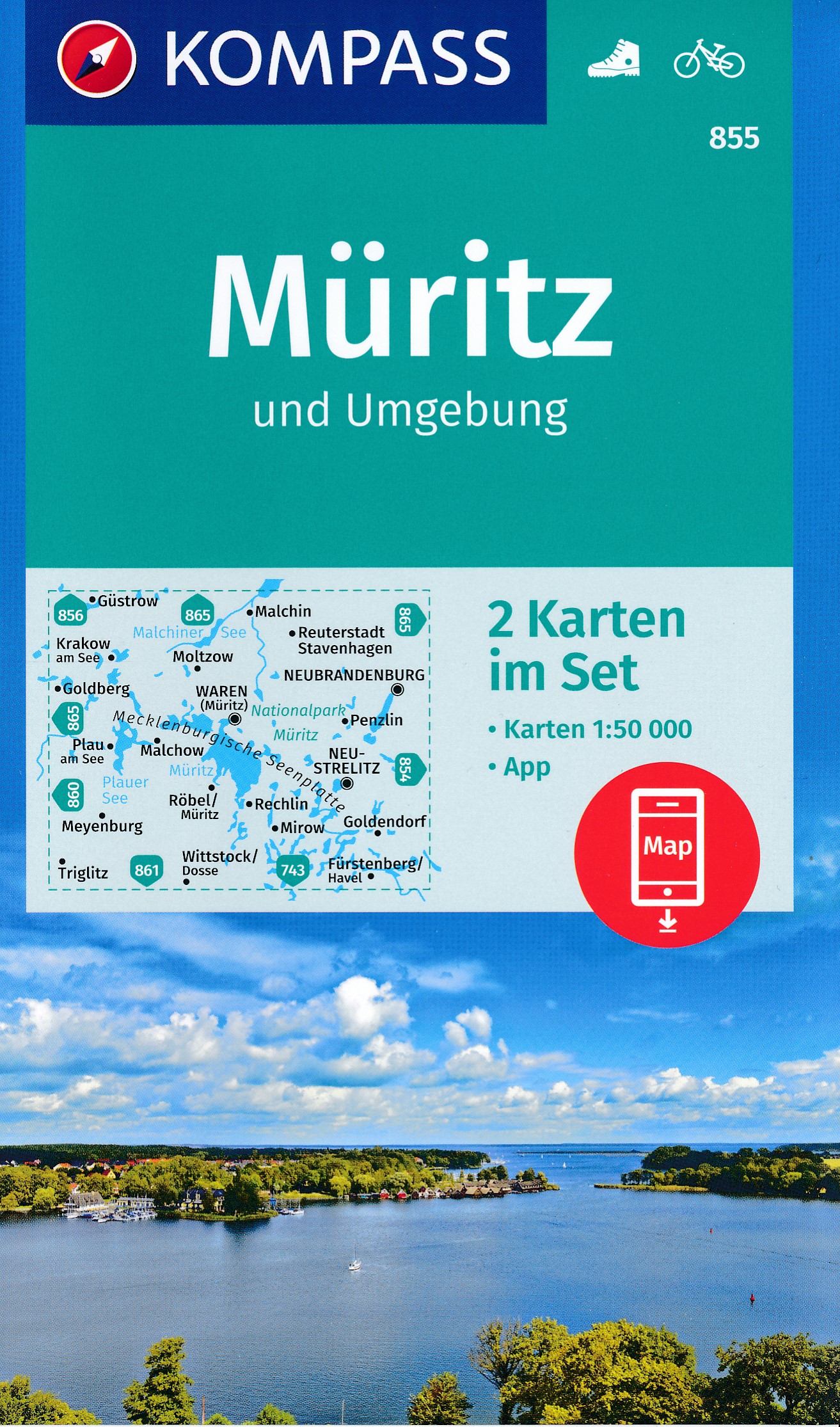
- Wandelkaart 855 Müritz | Kompass
- Goede wandelkaart met vrijwel alle topografische details als hoogtelijnen, vegetatie, schaduwtekening maar ook de ingetekende wandelroutes en in veel gevallen ook fietsroutes (MTB). Gevaarlijke routes worden als zodanig weergegeven met een bepaalde markering. Berghutten en campings zijn goed terug te vinden op deze kaarten. Daarnaast staan de... Read more
De Zwerver
Netherlands
Netherlands
- Also available from:
- Stanfords, United Kingdom

Stanfords
United Kingdom
United Kingdom
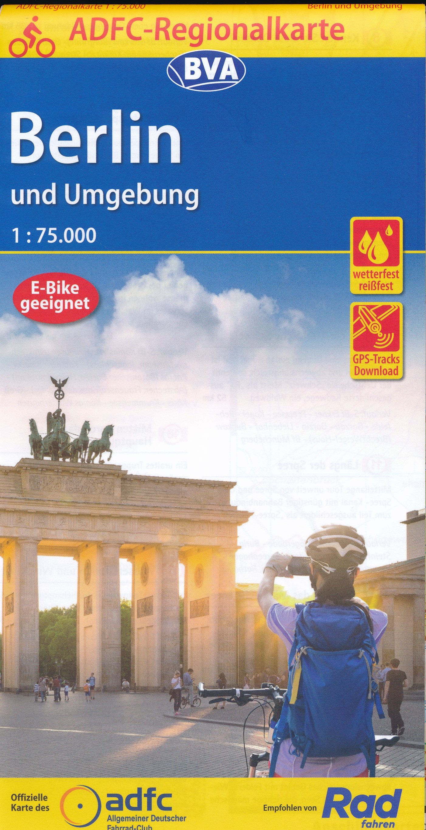
- Berlin and Environs Cycling Map
- Berlin and its Environs on a waterproof, tear-resistant, GPS compatible cycling map at 1:75,000 from the ADFC (Allgemeiner Deutscher Fahrrad-Club - the official German cycling federation), in a series of maps with extensive overprint for long-distance and local cycling routes. GPS waypoints, route profiles, details of online links for... Read more
De Zwerver
Netherlands
Netherlands
- Also available from:
- Stanfords, United Kingdom

Stanfords
United Kingdom
United Kingdom
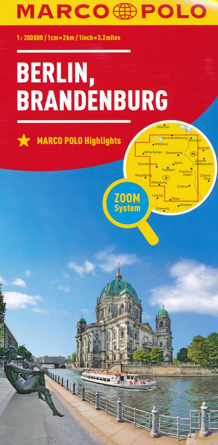
- Berlin - Brandenburg Marco Polo Regional Map 4
- German state of Brandenburg with Berlin on an indexed road map at 1:200,000 in the MairDumont’s Marco Polo series, prominently highlighting interesting locations and protected areas. A 95-page index booklet includes for the Berlin/Postdam area street plans of central and west Berlin and Potsdam, plus enlargements of the environs at1:100,000... Read more
De Zwerver
Netherlands
Netherlands

De Zwerver
Netherlands
2022
Netherlands
2022

Stanfords
United Kingdom
United Kingdom
- Berlin Flexi Map
- This easy to use, full-colour, water-proof map is all you need to navigate Berlin. It also includes handy destination detail on the Unter Den Linden area, and tips on top attractions and getting around.· Combines clear, up-to-date cartography with destination detail, stylish design and stunning photography · The main map is at a scale of 1:20... Read more

Stanfords
United Kingdom
United Kingdom
- Spree Cycle Route - from Source to Berlin Bikeline Map-Guide
- The Spree Cycle Route, a 400-km cycle route from the source of the Spree to Berlin, presented by the Verlag Esterbauer in a guide with maps at 1:50,000 showing the route and its variants. Extensive information is conveyed by symbols, indicating road surface, campsites and other accommodation, repair workshops, recreational facilities, places of... Read more

Stanfords
United Kingdom
United Kingdom
- Berlin and Environs Cycle Region Bikeline Map-Guide
- Berlin and Environs Cycling Atlas from Verlag Esterbauer with 129 tours totaling nearly 1100 kilometres, presented on mapping at 1:20,000, 1:50,000 or 1:75.000. The shortest trip is 11km, the longest 120km. Extensive information is conveyed by symbols, indicating road surface, campsites and other accommodation, repair workshops, recreational... Read more

Stanfords
United Kingdom
United Kingdom
- Berlin Cityplan Pocket Map
- Pocket size ”Cityplan” map of Berlin from Falk with coverage of the city’s outer districts including access to the Tegel Airport, plus an enlargement for the city centre, a street plan of Potsdam, a diagram of the U & S-Bahn network, and a road map of the city with its outer suburbs.The main plan extends from the Berlin Tegel Airport to the... Read more

Stanfords
United Kingdom
United Kingdom
- Berlin-Usedom - Metropolis to Baltic Sea Cycle Route Bikeline Map-Guide
- Berlin to the Baltic Coast Cycle Route, a 330-km long route linking Berlin and the island of Usedom, presented by the Verlag Esterbauer in a guide with maps at 1:75,000 showing the route and its variants. Extensive information is conveyed by symbols, indicating road surface, campsites and other accommodation, repair workshops, recreational... Read more