
Madrid
Beschreibung
Karte

Links
Fakten
Berichte
Führer und Karten
Übernachtung
Organisationen
Reisebüros
GPS
Sonstiges
Bücher


The Book Depository
United Kingdom
United Kingdom
- Also available from:
- Stanfords, United Kingdom

Stanfords
United Kingdom
United Kingdom
- Spanish Trails - A Guide to Walking the Spanish Mountains - The Mountains of Madrid
- An English-language guide to walking in the mountains to the north of Madrid, mainly but not exclusively within the National Park of the Sierra de Guadarrama. In this book, the third one in the Spanish Trails series, Phil Lawler and Tim Price present descriptions and sketch maps of 32 walks in the mountain ranges to the north of Madrid.It will... Read more

The Book Depository
United Kingdom
United Kingdom

The Book Depository
United Kingdom
2017
United Kingdom
2017
- Also available from:
- De Zwerver, Netherlands
- Stanfords, United Kingdom

Stanfords
United Kingdom
2017
United Kingdom
2017
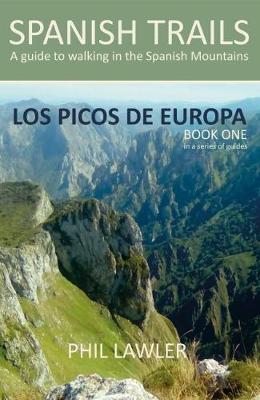
- Spanish Trails - A Guide to Walking the Spanish Mountains: Book one: Picos De Europa
- In this book Phil Lawler offers a wide selection of walks across the Picos de Europa in the majestic Cordillera Cantabrica, the Cantabrian Mountains, which run parallel with the Atlantic coastline in northern Spain. Phil has an intimate knowledge of this beautiful mountain range, as well as mountains in other parts of Spain. Many of the walks... Read more

De Zwerver
Netherlands
2012
Netherlands
2012
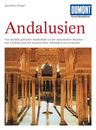
- Reisgids Kunstreiseführer Andalusien | Dumont
- Andalusien, Spaniens südlichste und zweitgrößte Region, beeindruckt durch die Spuren ihrer wechselseitigen Geschichte. Die andalusische Kunst ist durch den großen Einfluss der islamischen Kultur geprägt. Im Laufe ihrer rund 800 Jahre langen Herrschaft verleihen die Mauren in der Architektur ihrer Überlegenheit im christlichen Europa einen... Read more

De Zwerver
Netherlands
2011
Netherlands
2011
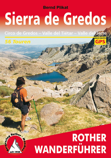
- Wandelgids 288 Sierra de Gredos | Rother Bergverlag
- Uitstekende wandelgids met een groot aantal dagtochten in dal en hooggebergte. Met praktische informatie en beperkt kaartmateriaal! Wandelingen in verschillende zwaarte weergegeven in rood/blauw/zwart. 144 Seiten mit 60 Farbabbildungen 56 Höhenprofile, 56 Wanderkärtchen im Maßstab 1:50.000, eine Übersichtskarte Die Sierra de Gredos bildet die... Read more


De Zwerver
Netherlands
2016
Netherlands
2016
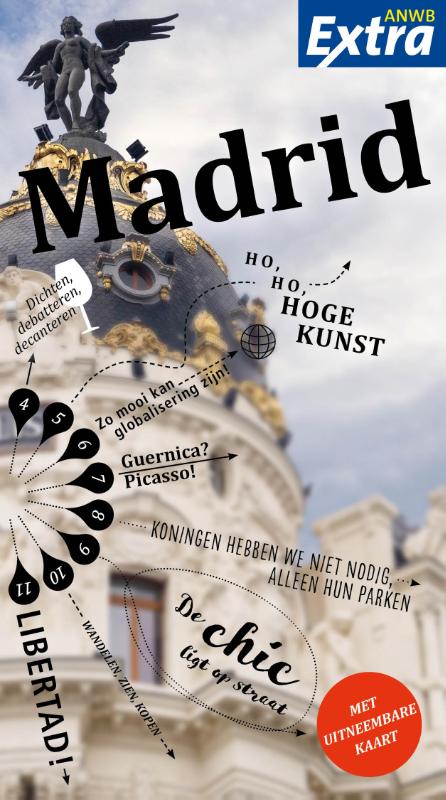
- Reisgids Trotter 48 Madrid | Lannoo
- De beroemde en terecht gewaardeerde reisgidsen uitgever Trotter heeft nu een mooie serie stadsgidsen op de markt gebracht. Uitgevoerd in harde kaft staan deze zoals gebruikelijk vol met informatie. Niet alleen de bezienswaardigheden maar ook de info hoe je er moet komen, wat je er niet mag missen etc. Het beproefde Trotter-recept in een trendy... Read more
Weitere Bücher…

Karten
De Zwerver
Netherlands
Netherlands
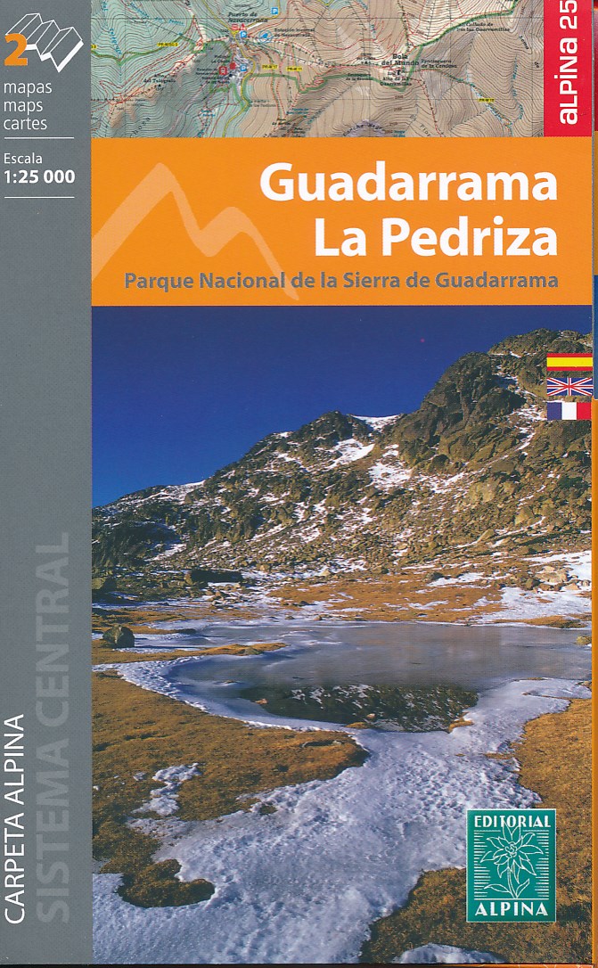
- Wandelkaart Guadarrama - La Pedriza | Editorial Alpina
- Sierra de Guadarrama north of Madrid at 1:25,000 on a set of two contoured and GPS compatible map from Editorial Alpina, highlighting waymarked local and long-distance hiking trails, tourist accommodation, places of interest, etc. Vivid presentation of the topography is provided by contours at 10m intervals enhanced by numerous spot heights,... Read more
- Also available from:
- Stanfords, United Kingdom

Stanfords
United Kingdom
United Kingdom
- Guadarrama - La Pedriza 2-Map Set Editorial Alpina
- Sierra de Guadarrama north of Madrid at 1:25,000 on a set of two contoured and GPS compatible map from Editorial Alpina, highlighting waymarked local and long-distance hiking trails, tourist accommodation, places of interest, etc. Vivid presentation of the topography is provided by contours at 10m intervals enhanced by numerous spot heights,... Read more
De Zwerver
Netherlands
Netherlands
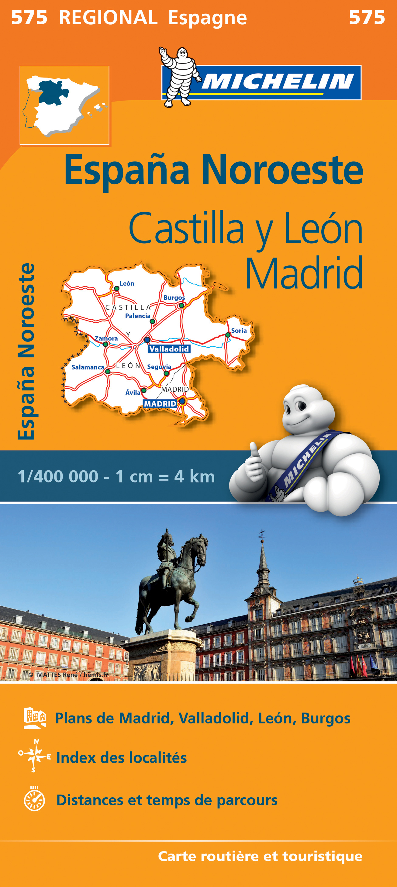
- Wegenkaart - landkaart 575 Castilla y León - Madrid - Valladolid - Zamora | Michelin
- Une carte fiable pour parcourir les régions d'Europe Read more
De Zwerver
Netherlands
Netherlands
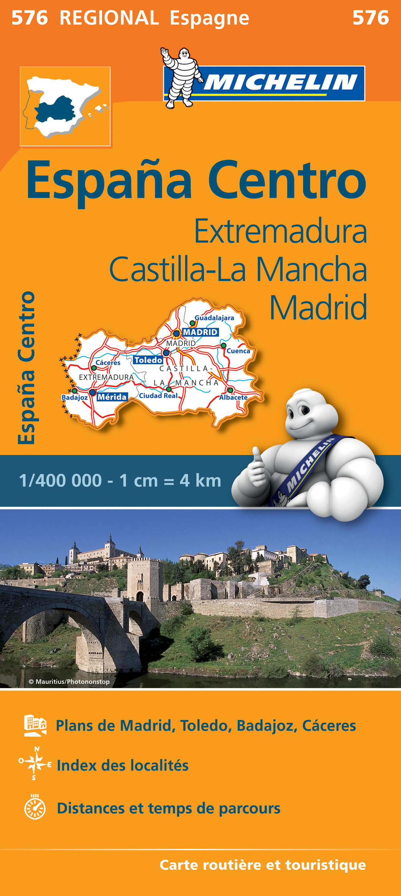
- Wegenkaart - landkaart 576 Extremadura - Castilla La Mancha - Madrid - Toledo - Mérida | Michelin
- Une carte fiable pour parcourir les régions d'Europe Read more
De Zwerver
Netherlands
2023
Netherlands
2023
De Zwerver
Netherlands
Netherlands
- Also available from:
- Stanfords, United Kingdom

Stanfords
United Kingdom
United Kingdom
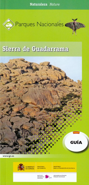
- Sierra de Guadarrama National Park 4-Map and Guide Set CNIG
- Sierra de Guadarrama, north of Madrid and east of Segovia, on a set of four waterproof, double-sided, contoured and GPS-compatible maps at 1:25,000 from the Spanish civilian survey organization prominently highlighting numerous hiking and sightseeing routes, plus a 166-page Spanish language booklet with route descriptions, etc. Current edition... Read more

Stanfords
United Kingdom
United Kingdom
- Madrid and Surroundings CNIG Map
- Topographic map of the Greater Madrid area from IGN – CNIG with the same cartography as the organization’s civilian version of the topographic survey of Spain but proving wider coverage than the standard sheet in the 1:50,000 survey series.The map has all the information expected of the topographic mapping at this scale - detailed presentation... Read more

Stanfords
United Kingdom
United Kingdom
- Salamanca - Sierra de Gredos - Madrid 500K CNIG Regional Map No. 5
- North-western part of central Spain with coverage extending from the Portuguese border to Madrid and north/south from Zamora and Valladolid to Toledo, at 1:500,000 in a series of regional road maps from the country’s civilian survey organization IGN-CNIG (Instituto Geográfico Nacional - Centro Nacional de Información Geográfica), vividly... Read more

Stanfords
United Kingdom
United Kingdom
- Madrid - Toledo - Zagaroza 500K CNIG Regional Map No. 6
- The northern part of central Spain with coverage extending from west of Segovia, Sierra de Guadarrama, Madrid and Toledo to Zaragoza and Teruel, at 1:500,000 in a series of regional road maps from the country’s civilian survey organization IGN-CNIG (Instituto Geográfico Nacional - Centro Nacional de Información Geográfica), vividly presenting... Read more

Stanfords
United Kingdom
United Kingdom
- Sierra Norte de Madrid
- This Calecha topographic map with hypsometric inks and relief shading of Sierra Norte de Madrid at 1:50,000 scale, includes information on roads, forest tracks, roads and trails. Also included are fountains, waterfalls, centenary trees and other useful items for the visitor, such as the type of accommodation existing in different locations,... Read more

Stanfords
United Kingdom
2018
United Kingdom
2018
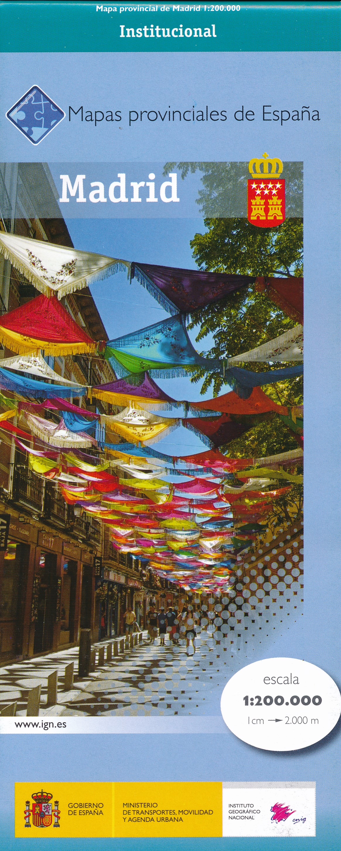
- Madrid Province 200K CNIG Map No. 30
- Contoured, GPS-compatible, indexed road map at 1:200,000 from CNIG - Spain’s civilian survey organization, with exceptionally informative presentation of the landscape and highlighting for facilities and places of interest including campsites and paradors.Maps in CNIG’s 200K Provincial Series provide an excellent picture the topography through... Read more
Stanfords
United Kingdom
United Kingdom
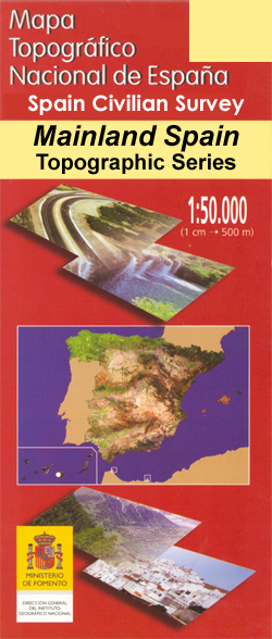
- Madrid CNIG Topo 559
- Topographic coverage of mainland Spain at 1:50,000 in the MTN50 (Mapa Topográfico Nacional) series from the Centro Nacional de Información Geografica, the country’s civilian survey organization. The maps have contours at 20m intervals, enhanced by relief shading, plus colouring and/or graphics to show different types of terrain, vegetation or... Read more