
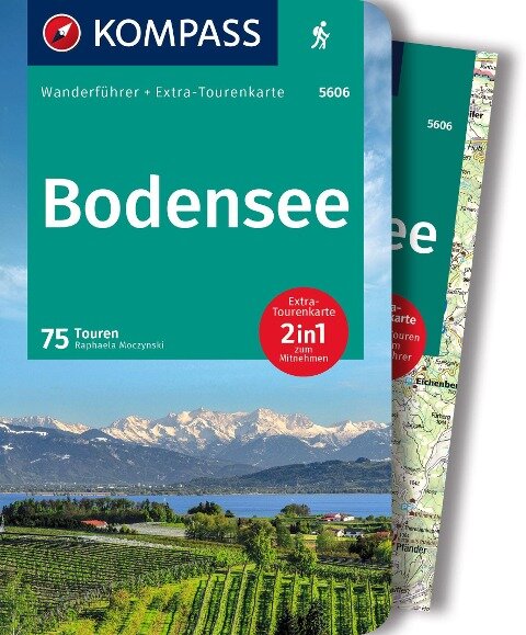
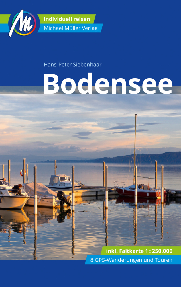
Bodensee
Beschreibung
This large lake (actually lakes) constitutes part of the German-Austrian-Swiss border. While in this paradise of freshwater, fruit orchards and vineyards, it is difficult to imagine the forces of mother earth that moulded itself into these vigorous mountains nearby, the Alps. The Bodensee has its own circular path, the Bodensee Rundweg. Many other important trails - E4, E5 - touch the lakes banks.
Wanderwege Region
Links
Fakten
Berichte
FĂĽhrer und Karten
Ăśbernachtung
Organisationen
ReisebĂĽros
GPS
Sonstiges
BĂĽcher

De Zwerver
Netherlands
2021
Netherlands
2021
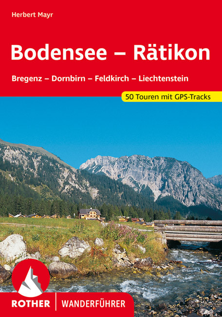
- Wandelgids Bodensee - Rätikon | Rother Bergverlag
- Uitstekende wandelgids met een groot aantal dagtochten in dal en hooggebergte. Met praktische informatie en beperkt kaartmateriaal! Wandelingen in verschillende zwaarte weergegeven in rood/blauw/zwart. Das Tourengebiet dieses Wanderführers reicht vom Bodensee fast bis zum Gletschereis der Schesaplana – es entspricht weitgehend der Vorarlberger... Read more

De Zwerver
Netherlands
2022
Netherlands
2022
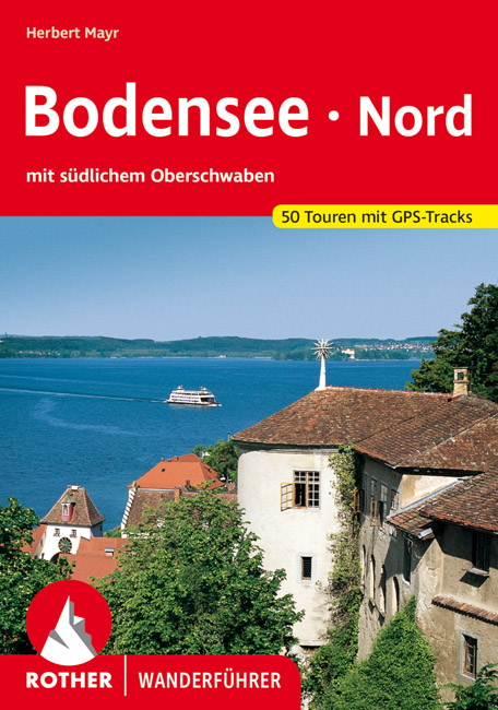
- Wandelgids Bodensee Nord | Rother Bergverlag
- Uitstekende wandelgids met een groot aantal dagtochten in dal en hooggebergte. Met praktische informatie en beperkt kaartmateriaal! Wandelingen in verschillende zwaarte weergegeven in rood/blauw/zwart. Malerische Badebuchten und ergreifende Steiluferlandschaften, aussichtsreiche Rebhänge, blühende Obstgärten und erfrischende Wälder, dazwischen... Read more
De Zwerver
Netherlands
2022
Netherlands
2022
De Zwerver
Netherlands
2021
Netherlands
2021
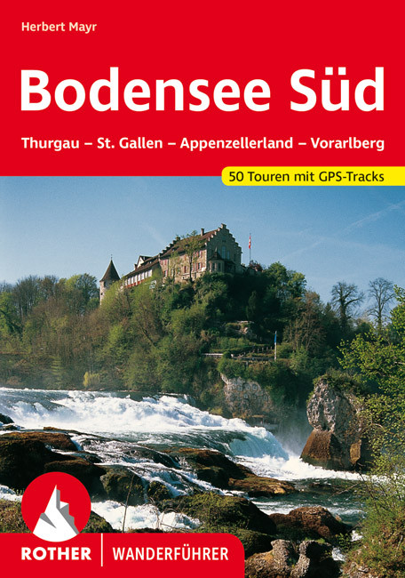
- Wandelgids Bodensee - SĂĽd | Rother Bergverlag
- Goede duitstalige wandelgids. Veel dagtochten, met gradaties en kleuren in zwaarte gerangschikt. Veel praktische informatie. Handzaam formaat. Dem 2007 erschienenen Rother-Wanderführer "Bodensee Nord" stellt Herbert Mayr nun das südliche Pendant zur Seite: Zweifellos zählen das Schweizer und Vorarlberger Bodenseeufer zu den... Read more

De Zwerver
Netherlands
2015
Netherlands
2015
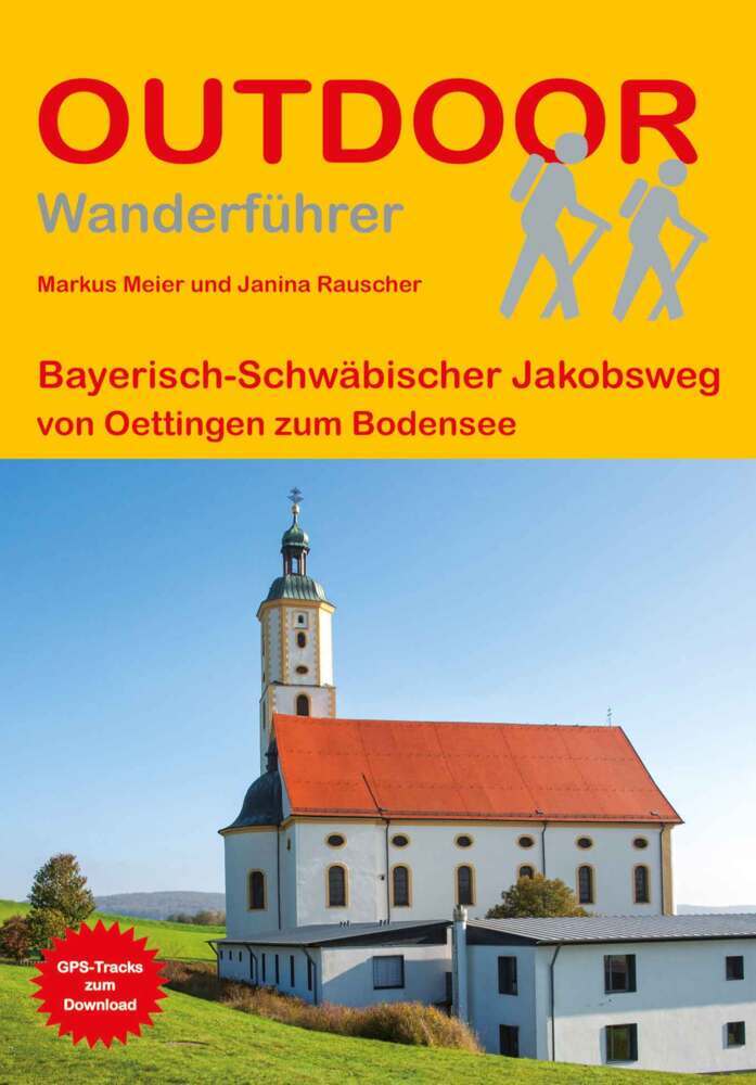
- Opruiming - Wandelgids Bayerisch-Schwäbischer Jakobsweg von Oettingen zum Bodensee | Conrad Stein Verlag
- OutdoorHandbuch. 2., ĂĽberarbeitete Auflage. Read more
De Zwerver
Netherlands
2016
Netherlands
2016
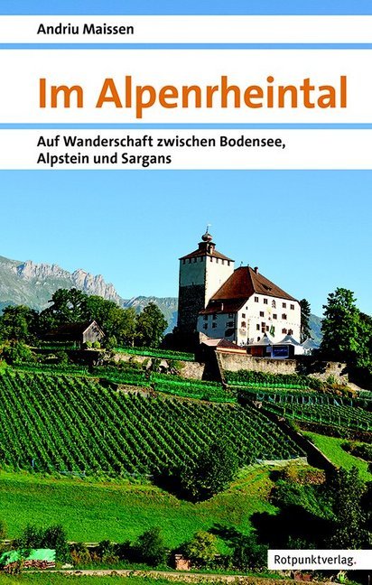
- Wandelgids Im Alpenrheintal - Alpenrijndal | Rotpunktverlag
- Auf Wanderschaft zwischen Bodensee, Alpstein und Sargans Read more

De Zwerver
Netherlands
2024
Netherlands
2024
- Klimgids - Klettersteiggids Alpine Klettersteige Ostalpen | Rother Bergverlag
- 70 spannende Touren zwischen Wien, Bodensee und Gardasee Rother Selection. 1. Auflage. Read more


De Zwerver
Netherlands
2022
Netherlands
2022
- Wandelgids Maximiliansweg | Rother Bergverlag
- Bayerische Alpen - vom Bodensee zum Königssee. 21 Etappen. Mit GPS-Daten Rother Wanderführer. 1., Auflage. Read more

De Zwerver
Netherlands
2017
Netherlands
2017
- Wandelgids 411 Kautokeino - Nordkap E1 | Conrad Stein Verlag
- Handzaam boekje met de routebeschrijving inclusief een heleboel praktische informatie. De beschrijving is uitstekend, maar kaarten zijn wat beperkt. Duits. Die 330 km lange Wanderung auf dem E1 von Kautokeino zum Nordkap ist ein unvergessliches Wanderabenteuer. In 15 Etappen laufen Sie durch die Wildnis Nordnorwegens und ĂĽberqueren die... Read more
De Zwerver
Netherlands
2023
Netherlands
2023
Karten

The Book Depository
United Kingdom
United Kingdom
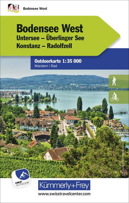
- Lake Constance West 43
- The western part of Lake Constance (Bodensee) at 1:35,000 from KĂĽmmerly+Frey in a series GPS compatible, double-sided maps printed on durable, waterproof and tear-resistant plastic paper; contoured, with hiking and cycle routes, other recreational activities, etc. Maps in this series are at a scale of either 1:50,000 or 1:35,000. Contour... Read more
- Also available from:
- Stanfords, United Kingdom

Stanfords
United Kingdom
United Kingdom
- Lake Constance West - Konstanz - Radolfzell K+F Outdoor Map 43
- The western part of Lake Constance (Bodensee) at 1:35,000 from KĂĽmmerly+Frey in a series GPS compatible, double-sided maps printed on durable, waterproof and tear-resistant plastic paper; contoured, with hiking and cycle routes, other recreational activities, etc. Maps in this series are at a scale of either 1:50,000 or 1:35,000. Contour... Read more
The Book Depository
United Kingdom
United Kingdom
- Lake Constance East 44
- The eastern part of Lake Constance (Bodensee) at 1:35,000 from KĂĽmmerly+Frey in a series GPS compatible, double-sided maps printed on durable, waterproof and tear-resistant plastic paper; contoured, with hiking and cycle routes, other recreational activities, etc. Maps in this series are at a scale of either 1:50,000 or 1:35,000. Contour... Read more
- Also available from:
- Stanfords, United Kingdom

Stanfords
United Kingdom
United Kingdom
- Lake Constance East - Friedrichshafen - Lindau - Ravensburg - Rorschach K+F Outdoor Map 44
- The eastern part of Lake Constance (Bodensee) at 1:35,000 from KĂĽmmerly+Frey in a series GPS compatible, double-sided maps printed on durable, waterproof and tear-resistant plastic paper; contoured, with hiking and cycle routes, other recreational activities, etc. Maps in this series are at a scale of either 1:50,000 or 1:35,000. Contour... Read more

The Book Depository
United Kingdom
United Kingdom
- Bodensee Ost
- These laminated hiking maps at a scale of 1:40 000 are the ideal basis for planning a hiking tour.The precise cartography shows hiking trails including classification. Information on accommodation and restaurants, bus routes with stops, mountain railways, regional parks, sights and much more are included on the map.Thanks to the quality of the... Read more
De Zwerver
Netherlands
Netherlands
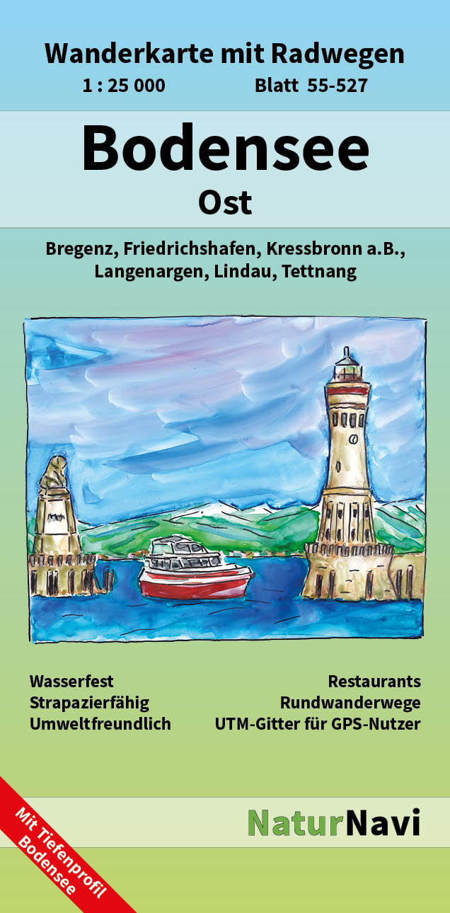
- Wandelkaart 55-527 Bodensee Ost | NaturNavi
- Bodensee Ost 1 : 25 000 ab 8.9 EURO Wanderkarte mit Radwegen. Lindau, Tettnang, Langenargen, Kressbronn a. B. , Bregenz NaturNavi Wanderkarte mit Radwegen. 1. Auflage Read more
De Zwerver
Netherlands
Netherlands
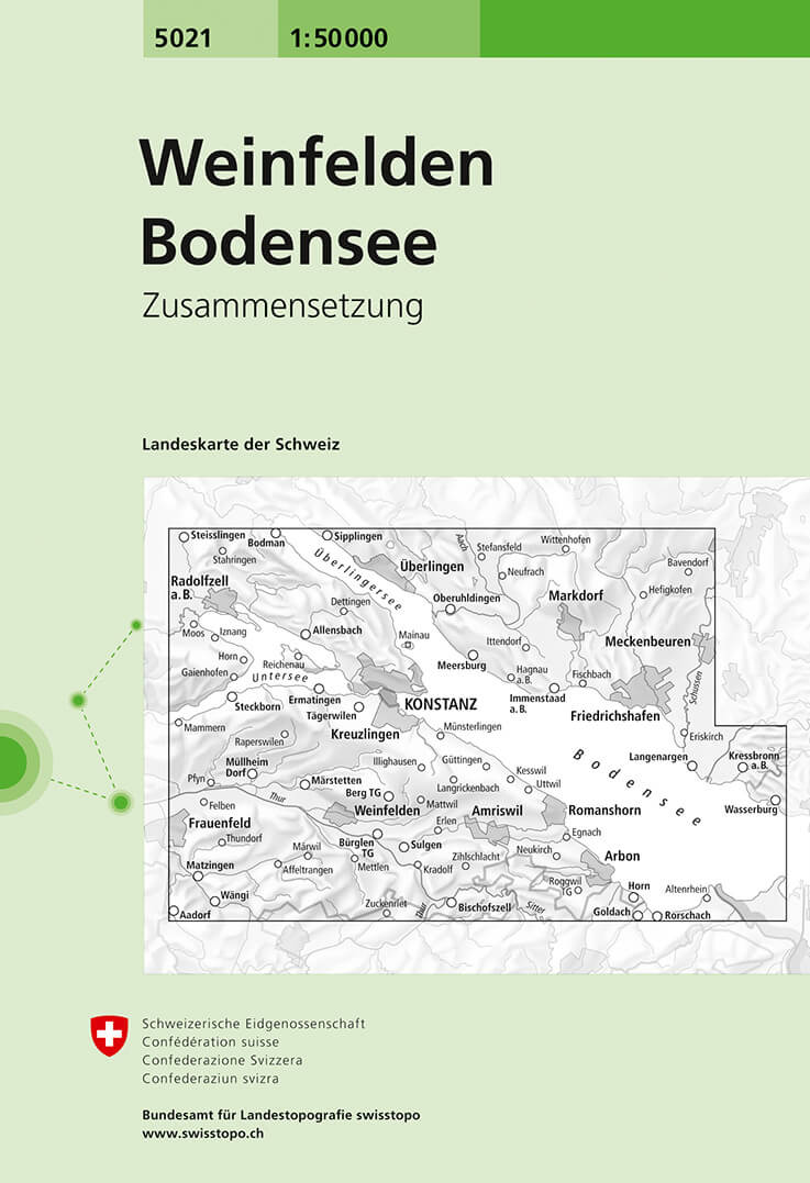
- Wandelkaart - Topografische kaart 5021 Weinfelden - Bodensee | Swisstopo
- Samengestelde kaart van de normale 50.000 serie, daardoor bestrijkt deze kaart een veel groter gebied. Deze kaarten zijn beroemd en gewaardeerd om het geweldige kleurgebruik voor reliëf en hoogte door schaduwwerking. De kaarten geven bijna een 3-D beeld van het landschap. De hoogtelijnen kennen een interval van 20 meter. Wandelroutes en... Read more
- Also available from:
- Stanfords, United Kingdom

Stanfords
United Kingdom
United Kingdom
- Weinfelden - Lake Constance Swisstopo 5021
- Weinfelden - Lake Constance area, map No. 5021, in the standard topographic survey of Switzerland at 1:50,000 from Swisstopo, i.e. without the special overprint highlighting walking trails, local bus stops, etc, presented in Swisstopo’s hiking editions of the 50K survey. Highly regarded for their superb use of graphic relief and hill shading,... Read more
De Zwerver
Netherlands
Netherlands
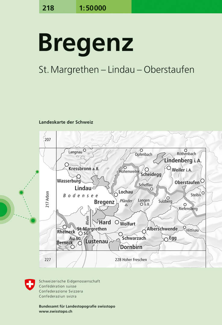
- Wandelkaart - Topografische kaart 218 Bregenz | Swisstopo
- Bregenz, map No. 218, in the standard topographic survey of Switzerland at 1:50,000 from Swisstopo, i.e. without the special overprint highlighting walking trails, local bus stops, etc, presented in Swisstopo Read more
- Also available from:
- Stanfords, United Kingdom
Stanfords
United Kingdom
United Kingdom
- Bregenz Swisstopo 218
- Bregenz, map No. 218, in the standard topographic survey of Switzerland at 1:50,000 from Swisstopo, i.e. without the special overprint highlighting walking trails, local bus stops, etc, presented in Swisstopo’s hiking editions of the 50K survey. The map covers mainly the Austrian side of the border, plus the Bavarian side of Lake Constance with... Read more
De Zwerver
Netherlands
2020
Netherlands
2020
De Zwerver
Netherlands
Netherlands
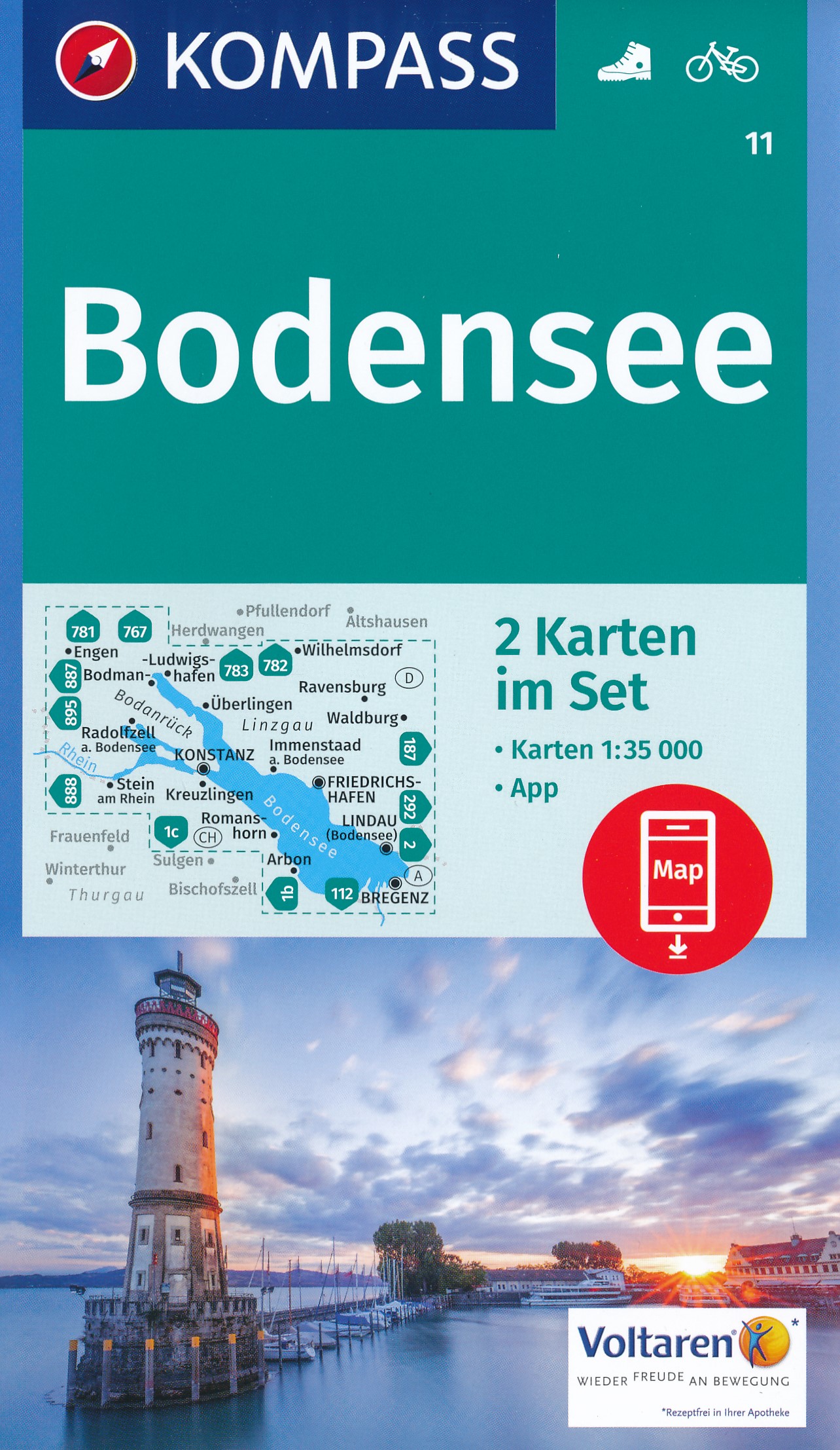
- Wandelkaart 11 Bodensee | Kompass
- Bodensee 1 : 35 000 ab 11.99 EURO 2 Wanderkarten 1:35000 im Set inklusive Karte zur offline Verwendung in der KOMPASS-App. Fahrradfahren. Kompass Wanderkarten. Neuauflage, Laufzeit bis 2022 Read more
De Zwerver
Netherlands
Netherlands
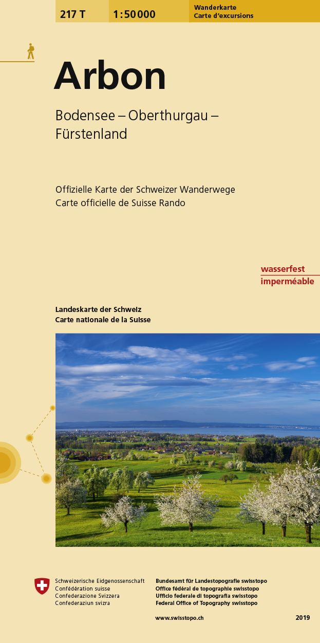
- Wandelkaart 217T Arbon | Swisstopo
- Arbon area, map No. 217T, at 1:50,000 in a special hiking edition of the country Read more
- Also available from:
- Stanfords, United Kingdom

Stanfords
United Kingdom
United Kingdom
- Arbon Swisstopo Hiking 217T
- Arbon area, map No. 217T, at 1:50,000 in a special hiking edition of the country’s topographic survey, published by Swisstopo in cooperation with the Swiss Hiking Federation. Cartography, identical to the standard version of the survey, is highly regarded for its superb use of graphic relief and hill shading to provide an almost 3-D picture of... Read more
De Zwerver
Netherlands
Netherlands
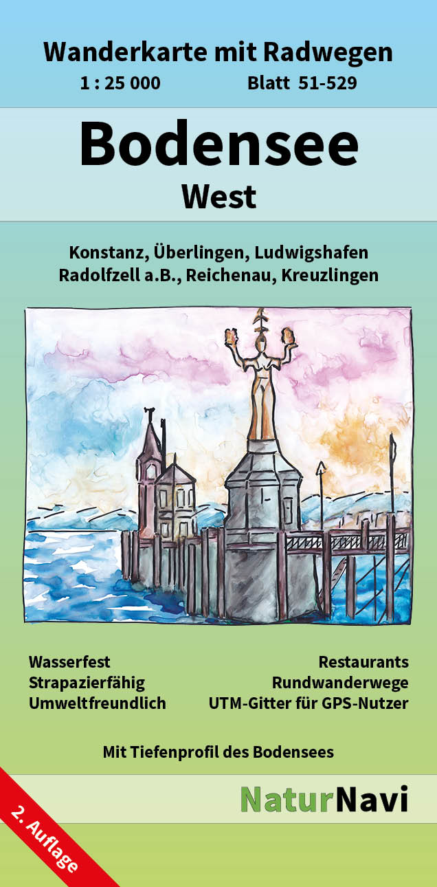
- Wandelkaart 51-529 Bodensee West | NaturNavi
- Bodensee West 1 : 25 000, Blatt 51-529 ab 8.9 EURO Wanderkarte mit Radwegen. Konstanz, Überlingen, Ludwigshafen, Radolfzell a. B. , Reichenau, Kreuzlingen NaturNavi Wanderkarte mit Radwegen. 1. Auflage Read more