
Cumbria
Beschreibung
County in northwestern England. The Lake District lies in Cumbria, as well as English highest mountain, Scafell (978 m). Cumbria is great for walking.
Wanderwege Region
Links
Fakten
Berichte
Führer und Karten
Übernachtung
Organisationen
Reisebüros
GPS
Sonstiges
Bücher

The Book Depository
United Kingdom
2019
United Kingdom
2019
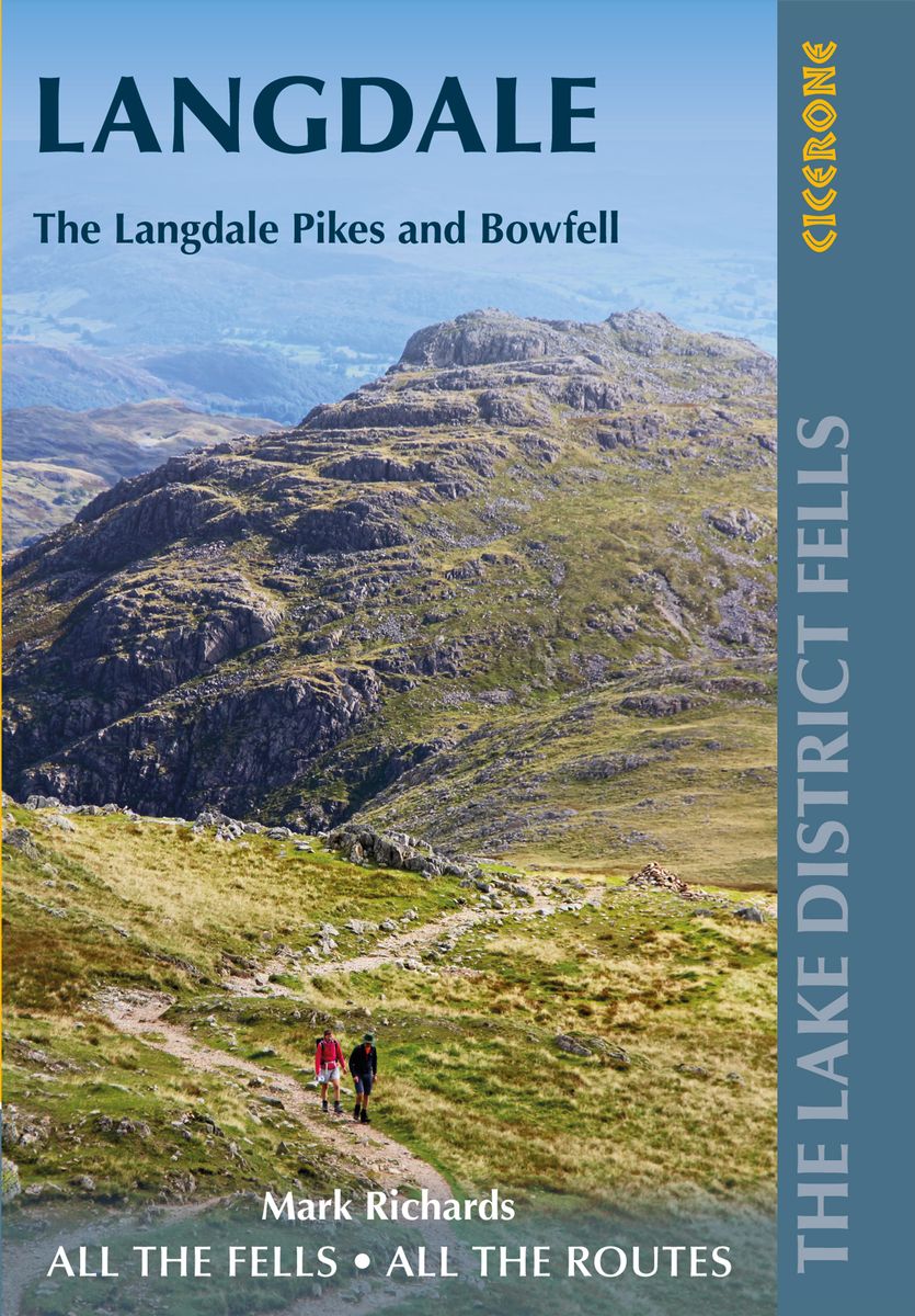
- Walking the Lake District Fells - Langdale
- The Langdale Pikes and Bowfell Read more
- Also available from:
- De Zwerver, Netherlands
De Zwerver
Netherlands
2019
Netherlands
2019
- Wandelgids The Lake District Fells Langdale | Cicerone
- Part of the Walking the Lake District Fells series, this guidebook covers a wide range of routes to 25 Lakeland summits that can be climbed from the Great Langdale valley, Ambleside and Grasmere, with highlights including Scafell Pike, Bowfell, the Langdale Pikes and Helm Crag (the Lion and the Lamb). Includes suggestions for longer ridge routes. Read more

- Also available from:
- Stanfords, United Kingdom

Stanfords
United Kingdom
United Kingdom
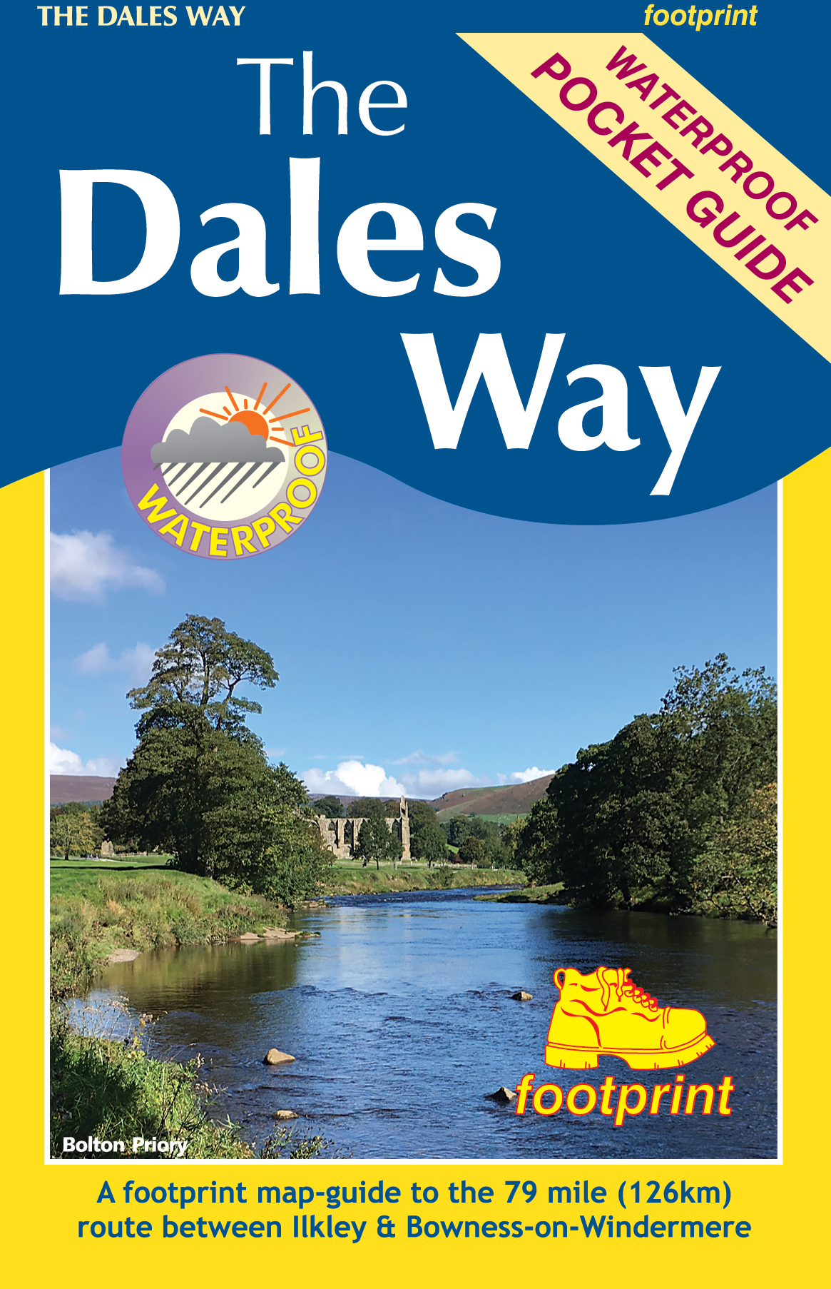
- Dales Way (84 miles)
- This is a brand new edition of one of the first guidebooks to this classic walk. ”The Dales Way” is one of Britain`s favourite long-distance walks, running from Ilkley in Wharfedale, through the Yorkshire Dales National Park to a delightful conclusion on the shores of Windermere in the Lake District National Park. At 80 miles in length and... Read more

The Book Depository
United Kingdom
United Kingdom
- Walk Ambleside, Rydal & Grasmere
- 21 Walks around and above Ambleside Read more
- Also available from:
- Stanfords, United Kingdom

Stanfords
United Kingdom
United Kingdom
- Walk Ambleside, Rydal & Grasmere: 21 Walks around and above Ambleside
- Walk Ambleside, Rydal and Grasmere is a practical walking guidebook to twenty one walks in the Lake District around and above Ambleside, Waterhead, Rydal and Grasmere.Including all the classic high tops, the low fells and easy valley walks around lake, wood, waterfall and tarn, each walk is presented on a double page spread with clear... Read more

- Also available from:
- De Zwerver, Netherlands

The Book Depository
United Kingdom
2015
United Kingdom
2015
- Lake District: High Level and Fell Walks
- Walking in the Lake District - the highest mountains in England Read more
- Also available from:
- Stanfords, United Kingdom

Stanfords
United Kingdom
2015
United Kingdom
2015
- Lake District: High Level and Fell Walks: 30 Best Fell Walks
- This guidebook collects the best 30 high fell walks in the Lake District. Every route is graded for difficulty and ranges between 7-23km, and includes annotated OS maps and variant routes. The walks are divided into 6 sections according to where walkers can start: the Keswick area, Borrowdale and Buttermere, the Western Valleys, Coniston and... Read more

The Book Depository
United Kingdom
2018
United Kingdom
2018
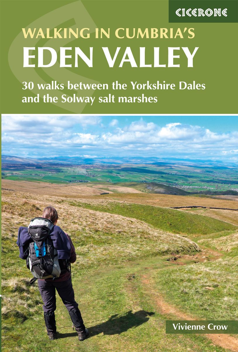
- Walking in Cumbria's Eden Valley
- 30 walks between the Yorkshire Dales and the Solway salt marshes Read more
- Also available from:
- De Zwerver, Netherlands
- Stanfords, United Kingdom
De Zwerver
Netherlands
2018
Netherlands
2018
- Wandelgids Walking in Cumbria's Eden Valley - Lake district | Cicerone
- Guidebook to 30 graded walks in Cumbria's Eden Valley. The routes, which range from 3 to 15 miles and are best from bases such as Kirkby Steven and Appleby, explore the region's diverse landscapes and offer dramatic views, either of the Pennines, the Lake District or the Scottish hills. Linear routes link with the Settle-Carlisle railway. Read more

Stanfords
United Kingdom
2018
United Kingdom
2018
- Walking in Cumbria`s Eden Valley: 30 walks between the Yorkshire Dales and the Solway salt marshes
- Guidebook to 30 of the best walks in Cumbria`s enchanting Eden Valley. The graded routes, which range from 3 to 15 miles, explore the region`s diverse landscapes and offer dramatic views, either of the Pennines, the Lake District or the Scottish hills. The walks, which work well from bases such as Kirkby Steven, Dufton and Appleby, are... Read more

The Book Depository
United Kingdom
2020
United Kingdom
2020
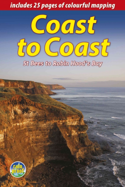
- Coast to Coast Path
- 109 Large-Scale Walking Maps & Guides to 33 Towns & Villages - Planning, Places to Stay, Places to Eat - St Bees to Robin Hood's Bay Read more
- Also available from:
- Stanfords, United Kingdom

Stanfords
United Kingdom
2020
United Kingdom
2020
- Coast to Coast Path (Trailblazer British Walking Guide): 109 Large-Scale Walking Maps & Guides to 33 Towns & Villages - Planning, Places to Stay, Places to Eat - St Bees to Robin Hood`s Bay
- All-in-one, practical guide to walking the Coast to Coast Path across northern England inspired by Alfred Wainwright, the most popular of the 18 long-distance UK paths. Fully revised 9th edition of this classic 191-mile walk from the Irish Sea to the North Sea. Crossing three national parks - the Lake District, the Yorkshire Dales, and the... Read more

The Book Depository
United Kingdom
2018
United Kingdom
2018
- Fastpacking
- Multi-day running adventures: tips, stories and route ideas Read more

The Book Depository
United Kingdom
2017
United Kingdom
2017
- The Lune Valley and Howgills
- 40 scenic fell, river and woodland walks Read more
- Also available from:
- Stanfords, United Kingdom

Stanfords
United Kingdom
2017
United Kingdom
2017
- The Lune Valley and Howgills: 40 Scenic Fell, River and Woodland Walks
- This guidebook offers a wide range of walks from the source of the river Lune in the Howgill Fells to Glasson Dock, just below Lancaster. The 40 day walks range between 3 and 11 miles in length and are all illustrated with extracts of 1:50,000 OS mapping. They explore the infinitely varied landscape as the river Lune flows between the Lake... Read more


The Book Depository
United Kingdom
United Kingdom
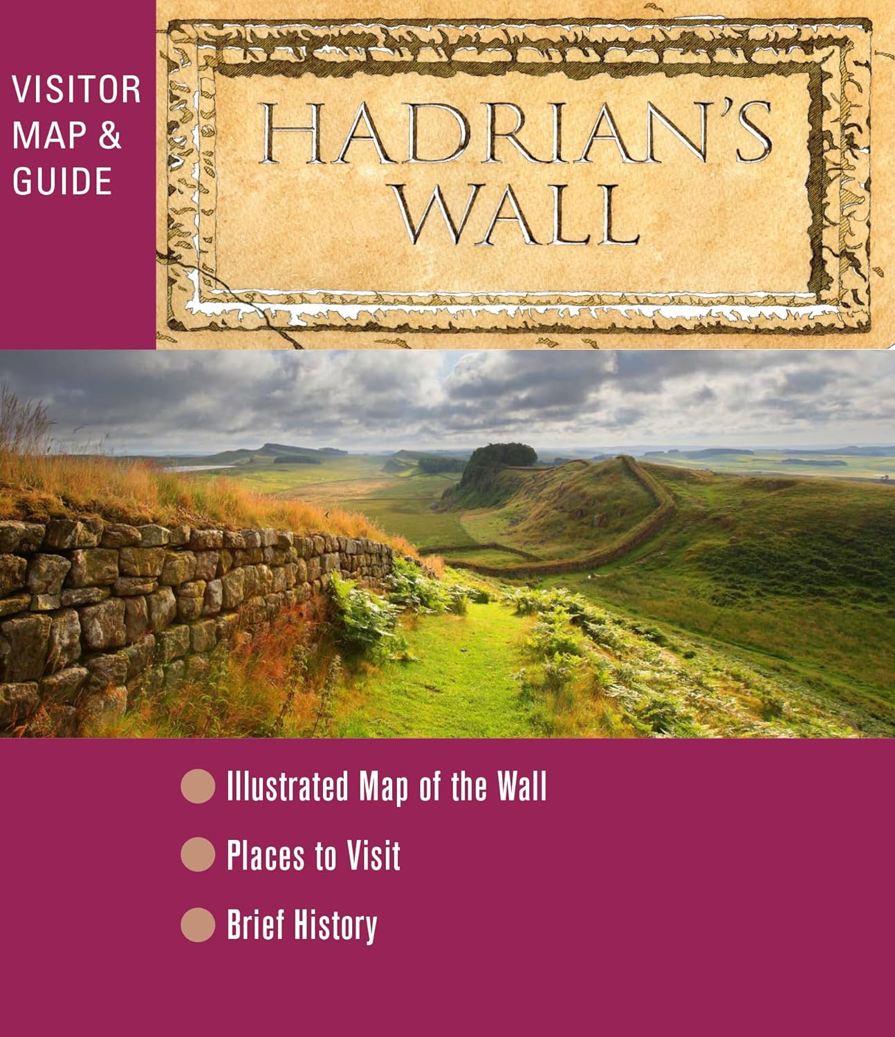
- The View from Hadrian's Wall
- Two Friends Hike Along the Ancient Roman Frontier Read more

- Also available from:
- De Zwerver, Netherlands
- Stanfords, United Kingdom
De Zwerver
Netherlands
Netherlands

Stanfords
United Kingdom
United Kingdom
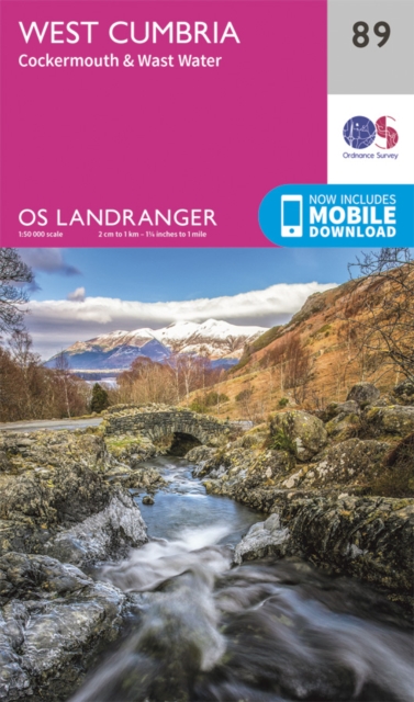
- West Cumbria, Cockermouth & Wast Water OS Landranger Map 89 (paper)
- Paper version of map No. 89 from the Ordnance Survey’s Landranger series at 1:50,000, with contoured and GPS compatible topographic mapping plus tourist information.MOBILE DOWNLOADS: As well as the physical edition of the map, each Landranger title now includes a code for downloading after purchase its digital version onto your smartphone or... Read more

- Also available from:
- De Zwerver, Netherlands
De Zwerver
Netherlands
2018
Netherlands
2018
- Wandelgids Coast to Coast the Wainwright Route | Rucksack Readers
- St Bees to Robin Hood's Bay Read more
Weitere Bücher…

Karten

The Book Depository
United Kingdom
United Kingdom
- Cumbria Way
- Cumbria Way, a 112km / 70 mile route liking Ulverston and Carlisle across the heart of the Lake District, presented at 1:40,000 on a light, waterproof and tear-resistant map from Harvey Map Services. The route is shown on five overlapping panels, with additional street plans of Carlisle, Keswick, and Ulverston.Maps in the Harvey Read more
- Also available from:
- De Zwerver, Netherlands
- Stanfords, United Kingdom

De Zwerver
Netherlands
Netherlands
- Wandelkaart Cumbria Way | Harvey Maps
- Cumbria Way, a 112km / 70 mile route liking Ulverston and Carlisle across the heart of the Lake District, presented at 1:40,000 on a light, waterproof and tear-resistant map from Harvey Map Services. The route is shown on five overlapping panels, with additional street plans of Carlisle, Keswick, and Ulverston.Maps in the Harvey Read more

Stanfords
United Kingdom
United Kingdom
- Cumbria Way Harvey National Trail XT40
- Cumbria Way, a 112km / 70 mile route liking Ulverston and Carlisle across the heart of the Lake District, presented at 1:40,000 on a light, waterproof and tear-resistant map from Harvey Map Services. The route is shown on five overlapping panels, with additional street plans of Carlisle, Keswick, and Ulverston.Maps in the Harvey’s series... Read more

The Book Depository
United Kingdom
United Kingdom
- Lakes SE
- The south-eastern area of the Lake District on a detailed topographic and GPS compatible map OL7, waterproof version, from the Ordnance Survey’s 1:25,000 Explorer series. Coverage extends eastwards from Coniston and the northern part of the Coniston Water to the Killington Reservoir and includes Grasmere, Ambleside, Windermere, Kendal, Penny... Read more

The Book Depository
United Kingdom
United Kingdom
- The Cumbria Way
- A Footprint Map-Guide to the 73-Mile Route Between Ulverston & Carlisle Read more
- Also available from:
- Stanfords, United Kingdom

Stanfords
United Kingdom
United Kingdom
- The Cumbria Way
- The waterproof Footprint map-guide to the Cumbria Way - the 73 mile (117km) route between Ulverstone and Carlisle. It generally follows well maintained paths and tracks through some of the Lake District`s finest scenery. This Footprint map is divided into 5 sections each portrayed on a separate panel. It is marked in miles, starting in... Read more

The Book Depository
United Kingdom
2014
United Kingdom
2014
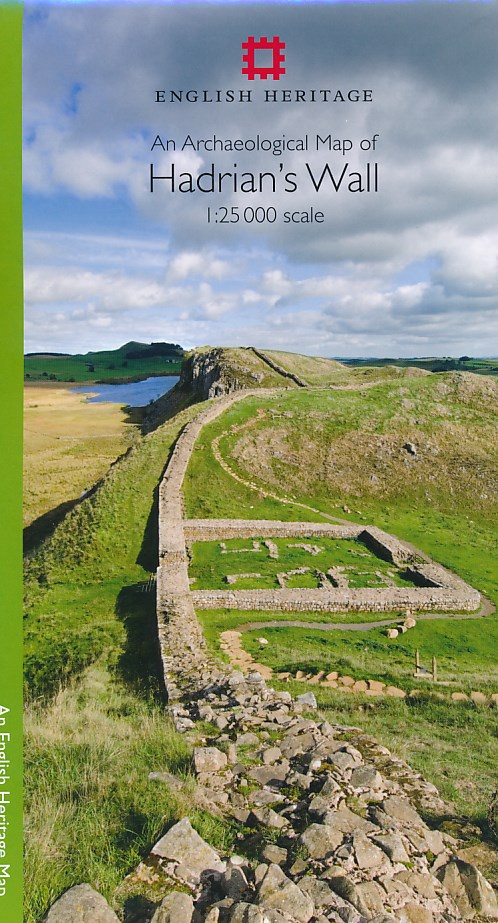
- An Archaeological Map of Hadrian's Wall
- 1:25000 Scale Revised Edition Read more
- Also available from:
- De Zwerver, Netherlands
- Stanfords, United Kingdom
De Zwerver
Netherlands
2014
Netherlands
2014
- Historische Kaart An Archaeological Map of Hadrian's Wall | English Heritage
- Hadrian’s Wall and the nearby archaeological Roman remains on a light, waterproof and tear-resistant map from the English Heritage with the base map from the Ordnance Survey 1:25,000 Explorer series.The map presents in six panels the whole course of the wall including its sections across the present day Newcastle, plus the adjoining area along... Read more

Stanfords
United Kingdom
2014
United Kingdom
2014
- Hadrian`s Wall Archaeological Map
- Hadrian’s Wall and the nearby archaeological Roman remains on a light, waterproof and tear-resistant map from the English Heritage with the base map from the Ordnance Survey 1:25,000 Explorer series.The map presents in six panels the whole course of the wall including its sections across the present day Newcastle, plus the adjoining area along... Read more

The Book Depository
United Kingdom
2019
United Kingdom
2019
- Hadrian's Wall
- Een bijzonder handige kaart van dit lange-afstands-wandelpad. Op waterafstotend papier met veel details. Het enige dat je eigenlijk een beetje mist is een overzicht. Verder uitstekend en voldoende voor de route. Compact and light - the map itself weighs just 60gms - a third of the weight of a laminated map, and much less bulky. And you can fold... Read more
- Also available from:
- De Zwerver, Netherlands
- Stanfords, United Kingdom

De Zwerver
Netherlands
2019
Netherlands
2019
- Wandelkaart Hadrian's Wall | Harvey Maps
- Een bijzonder handige kaart van dit lange-afstands-wandelpad. Op waterafstotend papier met veel details. Het enige dat je eigenlijk een beetje mist is een overzicht. Verder uitstekend en voldoende voor de route. Compact and light - the map itself weighs just 60gms - a third of the weight of a laminated map, and much less bulky. And you can fold... Read more

Stanfords
United Kingdom
2019
United Kingdom
2019
- Hadrian`s Wall Path Harvey National Trail XT40
- Hadrian’s Wall Path, a 135km / 84 mile national trail between Bowness-on-Solway and Wallsend on Tyne which for the greater part of its course shadows the historic line of the Roman wall, presented at 1:40,000 on a map from Harvey Map Services. The route is shown on seven panels, with enlargements for important sections with archaeological... Read more

The Book Depository
United Kingdom
United Kingdom
- Dales Way
- The Dales Way, a 135km / 85 mile route in the Yorkshire Dales and the Lake District National Parks, presented at 1:40,000 on a map from Harvey Map Services. The route itself, between Ilkley and Bowness-on-Windermere, is shown on six panels, with additional three panels covering the access to the start of the Dales Way in Ilkley from Leeds,... Read more
- Also available from:
- De Zwerver, Netherlands
- Stanfords, United Kingdom

De Zwerver
Netherlands
Netherlands
- Wandelkaart Dales Way | Harvey Maps
- The Dales Way, a 135km / 85 mile route in the Yorkshire Dales and the Lake District National Parks, presented at 1:40,000 on a map from Harvey Map Services. The route itself, between Ilkley and Bowness-on-Windermere, is shown on six panels, with additional three panels covering the access to the start of the Dales Way in Ilkley from Leeds,... Read more

Stanfords
United Kingdom
United Kingdom
- Dales Way Harvey National Trail XT40
- The Dales Way, a 135km / 85 mile route in the Yorkshire Dales and the Lake District National Parks, presented at 1:40,000 on a map from Harvey Map Services. The route itself, between Ilkley and Bowness-on-Windermere, is shown on six panels, with additional three panels covering the access to the start of the Dales Way in Ilkley from Leeds,... Read more

De Zwerver
Netherlands
2021
Netherlands
2021

De Zwerver
Netherlands
2020
Netherlands
2020
- Fietskaart Yorkshire Dales Touring / Nidderdale Area of NB | Harvey Maps
- Yorkshire Dales on a road map at 1:100,000 from Harvey Map Services with several enlargements showing main roads across local towns, plus descriptions of interesting locations, advice on public transport, etc. The map shows the Dales region with altitude colouring to indicate the region Read more
- Also available from:
- Stanfords, United Kingdom

Stanfords
United Kingdom
2020
United Kingdom
2020
- Yorkshire Dales Harvey Touring & Planning Map
- Yorkshire Dales on a road map at 1:100,000 from Harvey Map Services with several enlargements showing main roads across local towns, plus descriptions of interesting locations, advice on public transport, etc. The map shows the Dales region with altitude colouring to indicate the region’s topography. Long-distance trails such as the Dales Way,... Read more


De Zwerver
Netherlands
2021
Netherlands
2021
Stanfords
United Kingdom
United Kingdom
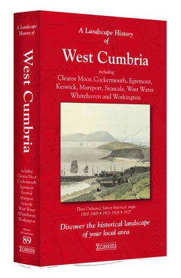
- West Cumbria 1864-1925 (3-map set)
- Map No. 89, West Cumbria 1864-1925 (3-map set), in the Cassini Historical Series of old Ordnance Survey mapping of England and Wales at 1:50,000 in a format designed to offer a convenient comparison with the present day coverage from the OS, and most locations in three different editions. Old historical maps have been combined so that the sheet... Read more