
Glen Coe
Beschreibung
Legendary valley in Scotland. Here, in 1692, the Massacre of Glencoe took place. History is adding to the popularity of Glen Coe. The other is the spectacular views from the valley grounds onto the mountains, U-shaped in the last ice age. The place is frequented by tourists. It's a very good spot for rock climbing too. Hikers on the West Highland Way can take a short side trip to visit Glen Coe.
Links
Fakten
Berichte
Führer und Karten
Übernachtung
Organisationen
Reisebüros
GPS
Sonstiges
Bücher

- Also available from:
- De Zwerver, Netherlands
- Stanfords, United Kingdom
De Zwerver
Netherlands
2015
Netherlands
2015

Stanfords
United Kingdom
2015
United Kingdom
2015
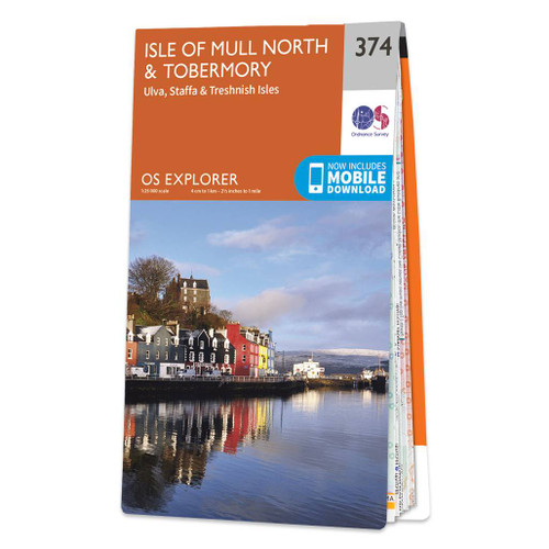
- Isle of Mull North & Tobermory - Ulva, Staffa & Treshnish Isles OS Explorer Map 374 (paper)
- The northern part of Mull with Tobermory, plus Ulva, Staffa and the Treshnish Isles on a detailed topographic and GPS compatible map No. 374, paper version, from the Ordnance Survey’s 1:25,000 Explorer series. MOBILE DOWNLOADS: this title and all the other OS Explorer maps include a code for downloading after purchase the digital version onto... Read more

- Also available from:
- De Zwerver, Netherlands
- Stanfords, United Kingdom
De Zwerver
Netherlands
2015
Netherlands
2015

Stanfords
United Kingdom
2015
United Kingdom
2015
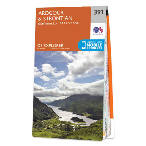
- Ardgour & Strontian - Glenfinnan, Loch Eil & Loch Shiel OS Explorer Map 391 (paper)
- Ardgour, Strontian, Glenfinnan, Loch Eil and Loch Shiel area on a detailed topographic and GPS compatible map No. 391, paper version, from the Ordnance Survey’s 1:25,000 Explorer series. MOBILE DOWNLOADS: this title and all the other OS Explorer maps include a code for downloading after purchase the digital version onto your smartphone or... Read more
- Also available from:
- De Zwerver, Netherlands


- Also available from:
- De Zwerver, Netherlands
- Stanfords, United Kingdom
De Zwerver
Netherlands
2015
Netherlands
2015

Stanfords
United Kingdom
2015
United Kingdom
2015
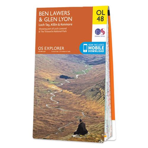
- Ben Lawyers & Glen Lyon - Loch Tay, Killin & Kenmore OS Explorer Map OL48 (paper)
- Ben Lawyers and Glen Lyon area of the Scottish Highlands on a detailed topographic and GPS compatible map OL48, paper version, from the Ordnance Survey’s 1:25,000 Explorer series. Coverage includes part of the Loch Rannoch and Glen Lyon National Scenic Area, 22 Munro peaks including An Stuc, Carn Gorm, Meall Glas and Sgiath Chuil, Loch Tay with... Read more

- Also available from:
- De Zwerver, Netherlands
- Stanfords, United Kingdom
De Zwerver
Netherlands
2015
Netherlands
2015

Stanfords
United Kingdom
2015
United Kingdom
2015
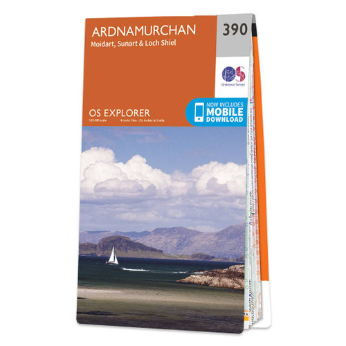
- Ardnamurchan - Moidart, Sunart & Loch Shiel OS Explorer Map 390 (paper)
- Ardnamurchan, Moidart, Sunart and Loch Shie area on a detailed topographic and GPS compatible map No. 390, paper version, from the Ordnance Survey’s 1:25,000 Explorer series. MOBILE DOWNLOADS: this title and all the other OS Explorer maps include a code for downloading after purchase the digital version onto your smartphone or tablet for... Read more

- Also available from:
- De Zwerver, Netherlands
- Stanfords, United Kingdom
De Zwerver
Netherlands
2015
Netherlands
2015

Stanfords
United Kingdom
2015
United Kingdom
2015
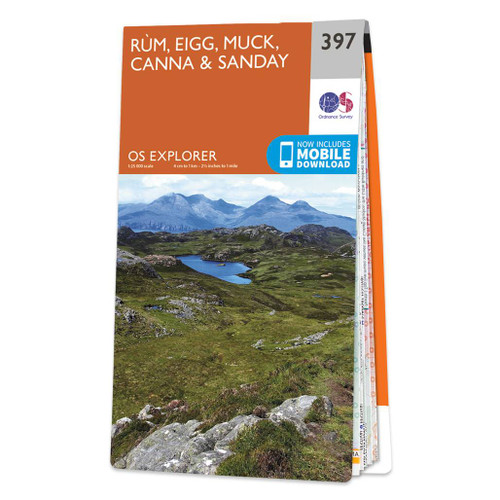
- Rum, Eigg, Muck, Canna & Sanday OS Explorer Map 397 (paper)
- The islands of Rum, Eigg, Muck, Canna and Sanday on a detailed topographic and GPS compatible map No. 397, paper version, from the Ordnance Survey’s 1:25,000 Explorer series.MOBILE DOWNLOADS: this title and all the other OS Explorer maps include a code for downloading after purchase the digital version onto your smartphone or tablet for viewing... Read more

- Also available from:
- De Zwerver, Netherlands
- Stanfords, United Kingdom
De Zwerver
Netherlands
2015
Netherlands
2015

Stanfords
United Kingdom
2015
United Kingdom
2015
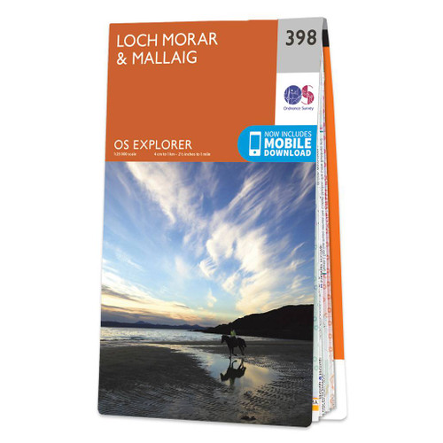
- Loch Morar & Mallaig OS Explorer Map 398 (paper)
- Loch Morar and Mallaig area on a detailed topographic and GPS compatible map No. 398, paper version, from the Ordnance Survey’s 1:25,000 Explorer series.MOBILE DOWNLOADS: this title and all the other OS Explorer maps include a code for downloading after purchase the digital version onto your smartphone or tablet for viewing on the OS smartphone... Read more

- Also available from:
- De Zwerver, Netherlands
- Stanfords, United Kingdom
De Zwerver
Netherlands
2015
Netherlands
2015

Stanfords
United Kingdom
2015
United Kingdom
2015
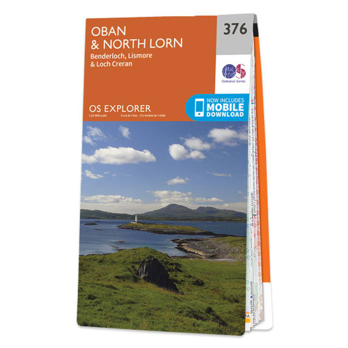
- Oban & North Lorn - Benderloch, Lismore & Loch Creran OS Explorer Map 376 (paper)
- Oban, North Lorn, Benderloch, Lismore and Loch Creran area on a detailed topographic and GPS compatible map No. 376, paper version, from the Ordnance Survey’s 1:25,000 Explorer series. MOBILE DOWNLOADS: this title and all the other OS Explorer maps include a code for downloading after purchase the digital version onto your smartphone or tablet... Read more

The Book Depository
United Kingdom
2016
United Kingdom
2016
- Also available from:
- De Zwerver, Netherlands
- Stanfords, United Kingdom
De Zwerver
Netherlands
2016
Netherlands
2016

Stanfords
United Kingdom
2016
United Kingdom
2016
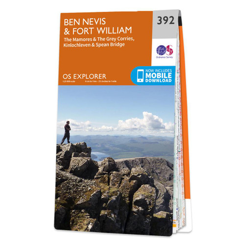
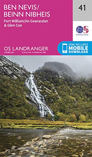
- Ben Nevis & Fort William - The Mamores, The Grey Corries, Kinlochleven & Spean Bridge OS Explorer Map 392 (paper)
- Ben Nevis and Fort William area, including The Mamores, The Grey Corries, Kinlochleven and Spean Bridge on a detailed topographic and GPS compatible map No. 392, paper version, from the Ordnance Survey’s 1:25,000 Explorer series. MOBILE DOWNLOADS: this title and all the other OS Explorer maps include a code for downloading after purchase the... Read more

- Also available from:
- De Zwerver, Netherlands
- Stanfords, United Kingdom
De Zwerver
Netherlands
2015
Netherlands
2015

Stanfords
United Kingdom
2015
United Kingdom
2015
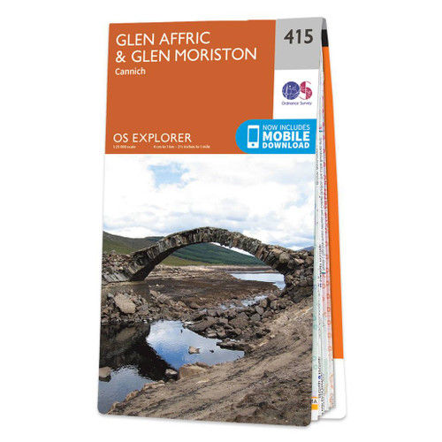
- Glen Affric & Glen Moriston - Cannich OS Explorer Map 415 (paper)
- Glen Affric, Glen Moriston and Cannich area on a detailed topographic and GPS compatible map No. 415, paper version, from the Ordnance Survey’s 1:25,000 Explorer series. MOBILE DOWNLOADS: this title and all the other OS Explorer maps include a code for downloading after purchase the digital version onto your smartphone or tablet for viewing on... Read more


The Book Depository
United Kingdom
United Kingdom
- Also available from:
- De Zwerver, Netherlands
- Stanfords, United Kingdom
.jpg)
De Zwerver
Netherlands
Netherlands

Stanfords
United Kingdom
United Kingdom
- Ben Nevis & Fort William - The Mamores, The Grey Corries, Kinlochleven & Spean Bridge OS Explorer Active Map 392 (waterproof)
- Ben Nevis and Fort William area, including The Mamores, The Grey Corries, Kinlochleven and Spean Bridge on a detailed topographic and GPS compatible map No. 392, paper version, from the Ordnance Survey’s 1:25,000 Explorer series. MOBILE DOWNLOADS: this title and all the other OS Explorer maps include a code for downloading after purchase the... Read more

- Also available from:
- De Zwerver, Netherlands
- Stanfords, United Kingdom
De Zwerver
Netherlands
2015
Netherlands
2015

Stanfords
United Kingdom
2015
United Kingdom
2015
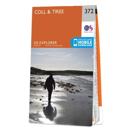
- Coll & Tiree OS Explorer Map 372 (paper)
- The islands of Coll and Tiree on a detailed topographic and GPS compatible map No. 372, paper version, from the Ordnance Survey’s 1:25,000 Explorer series.MOBILE DOWNLOADS: this title and all the other OS Explorer maps include a code for downloading after purchase the digital version onto your smartphone or tablet for viewing on the OS... Read more

- Also available from:
- De Zwerver, Netherlands
- Stanfords, United Kingdom
De Zwerver
Netherlands
2015
Netherlands
2015

Stanfords
United Kingdom
2015
United Kingdom
2015
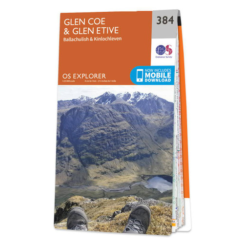
- Glen Coe & Glen Etive - Ballachulish & Kinlochleven OS Explorer Map 384 (paper)
- Glen Coe, Glen Etive, Ballachulish and Kinlochleven area on a detailed topographic and GPS compatible map No. 384, paper version, from the Ordnance Survey’s 1:25,000 Explorer series. MOBILE DOWNLOADS: this title and all the other OS Explorer maps include a code for downloading after purchase the digital version onto your smartphone or tablet... Read more

The Book Depository
United Kingdom
2016
United Kingdom
2016
- Ben Nevis and Glen Coe
- 100 low, mid, and high level walks Read more
- Also available from:
- De Zwerver, Netherlands
- Stanfords, United Kingdom
De Zwerver
Netherlands
2017
Netherlands
2017
- Wandelgids Ben Nevis and Glen Coe | Cicerone
- 100 Low, Mid, and High Level Walks Read more

Stanfords
United Kingdom
2016
United Kingdom
2016
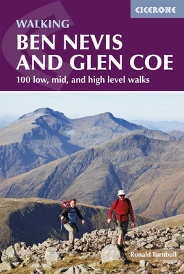
- Ben Nevis and Glencoe: 100 Low, Mid, and High Level Walks
- This guidebook details 100 walking routes around Ben Nevis and Glen Coe, centred in 10 areas including Fort William and Glen Nevis, the Aonachs, the Mamores, Kinlochleven, Glen Coe, Glen Etive, Black Mount and Ben Cruachan. Routes are graded according to difficulty, and range between short, easy strolls and long, challenging walks with... Read more
Karten

The Book Depository
United Kingdom
2018
United Kingdom
2018
- Ben Nevis and Glen Coe
- Waterproof mountain map of Ben Nevis & Glen Coe from Harvey at 1:40,000, with a geological map of the region on the reverse, an enlargement of Ben Nevis' summit, and advice on navigating the region safely.MAIN MAP: Topography is shown through clear altitude shading, spot heights, contours at 15m intervals, and index contours at 75m intervals. A... Read more
- Also available from:
- De Zwerver, Netherlands
- Stanfords, United Kingdom

De Zwerver
Netherlands
2018
Netherlands
2018
- Wandelkaart Ben Nevis & Glen Coe | Harvey Maps
- Waterproof mountain map of Ben Nevis & Glen Coe from Harvey at 1:40,000, with a geological map of the region on the reverse, an enlargement of Ben Nevis' summit, and advice on navigating the region safely.MAIN MAP: Topography is shown through clear altitude shading, spot heights, contours at 15m intervals, and index contours at 75m intervals. A... Read more

Stanfords
United Kingdom
2018
United Kingdom
2018
- Ben Nevis & Glen Coe Harvey British Mountain Map XT40
- Waterproof mountain map of Ben Nevis & Glen Coe from Harvey at 1:40,000, with a geological map of the region on the reverse, an enlargement of Ben Nevis` summit, and advice on navigating the region safely.*MAIN MAP:* Topography is shown through clear altitude shading, spot heights, contours at 15m intervals, and index contours at 75m intervals.... Read more

De Zwerver
Netherlands
2022
Netherlands
2022
- Wandelkaart Ben Nevis | Harvey Maps
- Ben Nevis with the Mamores and Grey Corries ranges at 1:25,000 on a double-sided, waterproof and tear-resistant map from Harvey Map Services with the peak area shown in greater detail at 1:12,500. The map divides the area north/south, with a good overlap between the sides, extending from Fort William past Loch Treig to Chno Deang, plus south to... Read more
- Also available from:
- Stanfords, United Kingdom

Stanfords
United Kingdom
2022
United Kingdom
2022
- Ben Nevis - Mamores & Grey Corries Harvey Superwalker XT25
- Ben Nevis with the Mamores and Grey Corries ranges at 1:25,000 on a double-sided, waterproof and tear-resistant map from Harvey Map Services in their Superwalker series, with the peak area also shown in greater detail at 1:12,500. The map divides the area north/south, with a good overlap between the sides, extending from Fort William past Loch... Read more

Stanfords
United Kingdom
United Kingdom
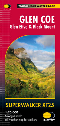
- Glen Coe - Glen Etive & Black Mount Harvey Superwalker XT25
- Glen Coe area of the Scottish Highlands, including Glen Etive and Black Mount, at 1:25,000 on a light, waterproof and tear-resistant map from Harvey Map Services in their Superwalker series. The map is double-sided, with an overlap between the sides, and extends from Loch leven, Kinlochmore and the Blackwater Reservoir southwards to Loch Etive... Read more