
North Downs Way
Beschreibung
- Name North Downs Way
- Länge von Wanderweg 246 km, 153 Meilen
- Länge in Tagen 12 Tage
- Traildino Schwierigkeit EW, Leichte Wanderung, Naturwanderweg
 153 miles, 246 km, 12 days
National Trail
Hiking the North Downs Way you can feel all alone. This chain of limestone hills is never far from the larger population centers in Kent, eastern England. But walking these wooded hills, you will enjoy a serene peace that you would rather expect in sparsely populated areas far north.
The special limestone grasslands on these soils are rich in flowers and insects. There is much variation in forest types. In the valleys lie the villages and the odd buildings which is so special about the English.
The North Downs start at the coast, at Dover. From the white cliffs, the hills stretch eastward, south from London. The 153 miles, 246 km long path starts with a circular leg, near Dover, allowing you to visit Canterbury. The southern semi-circle runs close to the coastline, so you can enjoy the sea for a day or two.
The North Downs Way has the status of National Trail, which adds to its popularity. This, in its turn, has a positive effect on the availability of accommodation.
Karte

Links
Fakten
Berichte
Führer und Karten
Übernachtung
Organisationen
Reisebüros
GPS
Sonstiges
Bücher

- Also available from:
- De Zwerver, Netherlands


- Also available from:
- De Zwerver, Netherlands


- Also available from:
- De Zwerver, Netherlands


- Also available from:
- De Zwerver, Netherlands


- Also available from:
- De Zwerver, Netherlands


- Also available from:
- De Zwerver, Netherlands


United Kingdom
2018
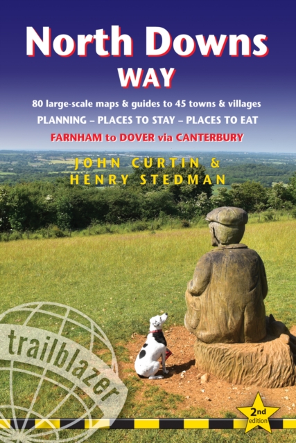
- North Downs Way (Trailblazer British Walking Guides)
- Practical walking guide to North Downs Way with 80 Large-Scale Walking Maps & Guides to 45 Towns & Villages - Planning, Places to Stay, Places to Eat - Farnham to Dover via Canterbury (Trailblazer British Walking Guides) Read more
- Also available from:
- De Zwerver, Netherlands
- Stanfords, United Kingdom
Netherlands
2018
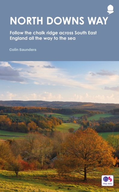
- Wandelgids North Downs Way | Trailblazer Guides
- Practical guide to walking the North Downs Way National Trail that runs from Farnham in Surrey to Dover in Kent, partly following the old Pilgrims` Way to the shrine of St Thomas a Becket at Canterbury. It winds its way through the protected landscape of the Surrey Hills and the Kent Downs, passing medieval churches, castles, Neolithic burial... Read more

United Kingdom
2018
- North Downs Way: Farnham to Dover via Canterbury
- Practical guide to walking the North Downs Way National Trail that runs from Farnham in Surrey to Dover in Kent, partly following the old Pilgrims` Way to the shrine of St Thomas a Becket at Canterbury. It winds its way through the protected landscape of the Surrey Hills and the Kent Downs, passing medieval churches, castles, Neolithic burial... Read more
Netherlands
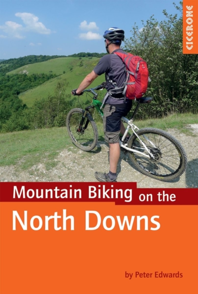
- Mountain Biking on the North Downs
- This guidebook covers 20 mountain biking routes set throughout the length and breadth of the North Downs, from Farnham in the west to Dover in the east, as well as a route along the Downs Link, which joins the North Downs Way with the South Downs Way. They range from 18.5km to 59km in length and up to 90% off road. The routes, illustrated with... Read more
- Also available from:
- Bol.com, Belgium
Belgium
- Mountain Biking on the North Downs
- This guidebook covers 20 mountain biking routes set throughout the length and breadth of the North Downs, from Farnham in the west to Dover in the east, as well as a route along the Downs Link, which joins the North Downs Way with the South Downs Way. They range from 18.5km to 59km in length and up to 90% off road. The routes, illustrated with... Read more
Netherlands
2016
- Wandelgids 08 Pathfinder Guides Kent | Ordnance Survey
- Walkers in Kent enjoy a number of long distance footpaths, including the North Downs Way, Wealdway, Pilgrims` Way and Greensand Way, and sections of them are incorporated into several walks in this guide. Routes starting at Tenterden and Penshurst wind through a typical Kentish landscape, characterised by orchards, medieval churches and coast... Read more
- Also available from:
- Stanfords, United Kingdom
- Bol.com, Netherlands
- Bol.com, Belgium

United Kingdom
2016
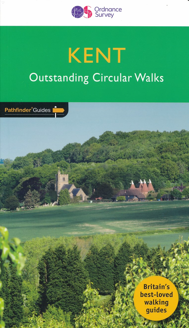
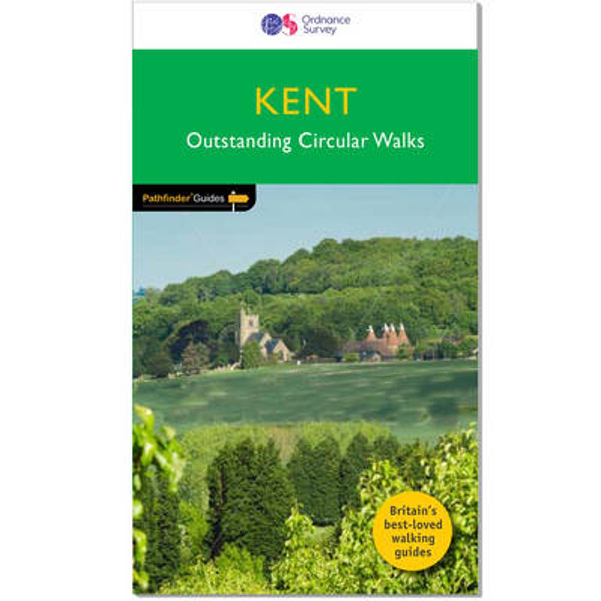
- Kent - Outstanding Circular Walks
- Walkers in Kent enjoy a number of long distance footpaths, including the North Downs Way, Wealdway, Pilgrims` Way and Greensand Way, and sections of them are incorporated into several walks in this guide. Routes starting at Tenterden and Penshurst wind through a typical Kentish landscape, characterised by orchards, medieval churches and coast... Read more
Netherlands
2016
- Kent
- Walkers in Kent enjoy a number of long distance footpaths, including the North Downs Way, Wealdway, Pilgrims' Way and Greensand Way, and sections of them are incorporated into several walks in this guide. Routes starting at Tenterden and Penshurst wind through a typical Kentish landscape, characterised by orchards, medieval churches and coast... Read more
Belgium
2016
- Kent
- Walkers in Kent enjoy a number of long distance footpaths, including the North Downs Way, Wealdway, Pilgrims' Way and Greensand Way, and sections of them are incorporated into several walks in this guide. Routes starting at Tenterden and Penshurst wind through a typical Kentish landscape, characterised by orchards, medieval churches and coast... Read more
Karten
Netherlands
2018
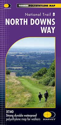
- Wandelkaart North Downs Way | Harvey Maps
- The whole of the North Downs Way, a 246km / 153 miles National Trail between Dover and Farnham, on a light, waterproof and tear-resistant map at 1:40,000 from Harvey Map Services presenting the route accompanied by extensive additional tourist information. This new edition published in autumn 2013 replaces the publishers Read more

United Kingdom
- North Downs Way A-Z Adventure Atlas
- North Downs Way Adventure Atlas at 1:25,000 in a series of handy A5 size Adventure Atlases from Geographers` A-Z Map Company with cartography from the Ordnance Survey’s Explorer series. The route from Farnham to Dover is presented with the alternative final sections, either via Canterbury or via Folkestone. To see other titles in this series... Read more

United Kingdom
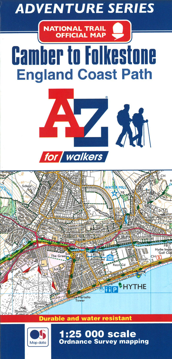
- England Coast Path - Camber to Folkestone Adventure Map
- The A-Z Adventure Series of maps combines the best of OS and A-Z, creating the perfect companion for walkers, off-road cyclists, horse riders and anyone wishing to explore the great outdoors.This official Camber to Folkestone Adventure Map section of the England Coast Path, a new National Trail around England`s coast. More than just a path, it... Read more
- Also available from:
- Bol.com, Netherlands
- Bol.com, Belgium
Netherlands
- England Coast Path Camber to Folkestone Adventure Map
- The A-Z Adventure Series of maps combines the best of OS and A-Z, creating the perfect companion for walkers, off-road cyclists, horse riders and anyone wishing to explore the great outdoors.This official Camber to Folkestone Adventure Map section of the England Coast Path, a new National Trail around England`s coast. More than just a path, it... Read more
Belgium
- England Coast Path Camber to Folkestone Adventure Map
- The A-Z Adventure Series of maps combines the best of OS and A-Z, creating the perfect companion for walkers, off-road cyclists, horse riders and anyone wishing to explore the great outdoors.This official Camber to Folkestone Adventure Map section of the England Coast Path, a new National Trail around England`s coast. More than just a path, it... Read more
Netherlands
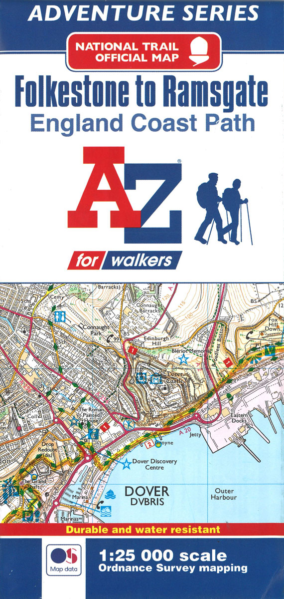
- England Coast Path Folkestone to Ramsgate Adventure Map
- The A-Z Adventure Series of maps combines the best of OS and A-Z, creating the perfect companion for walkers, off-road cyclists, horse riders and anyone wishing to explore the great outdoors.This official Folkestone to Ramsgate Adventure Map section of the England Coast Path, a new National Trail around England`s coast. More than just a path,... Read more
- Also available from:
- Bol.com, Belgium
Belgium
- England Coast Path Folkestone to Ramsgate Adventure Map
- The A-Z Adventure Series of maps combines the best of OS and A-Z, creating the perfect companion for walkers, off-road cyclists, horse riders and anyone wishing to explore the great outdoors.This official Folkestone to Ramsgate Adventure Map section of the England Coast Path, a new National Trail around England`s coast. More than just a path,... Read more