
Norfolk
Beschreibung
County in eastern England. The pretty North Sea coastline in the north can be walked via the Norfolk Coast Path, a National Trail. More to the south, the coastline has fine beaches and many holiday resorts. Inland Norfolk is flat.
Wanderwege Region
Links
Fakten
Berichte
Führer und Karten
Übernachtung
Organisationen
Reisebüros
GPS
Sonstiges
Bücher

- Also available from:
- Stanfords, United Kingdom

Stanfords
United Kingdom
United Kingdom
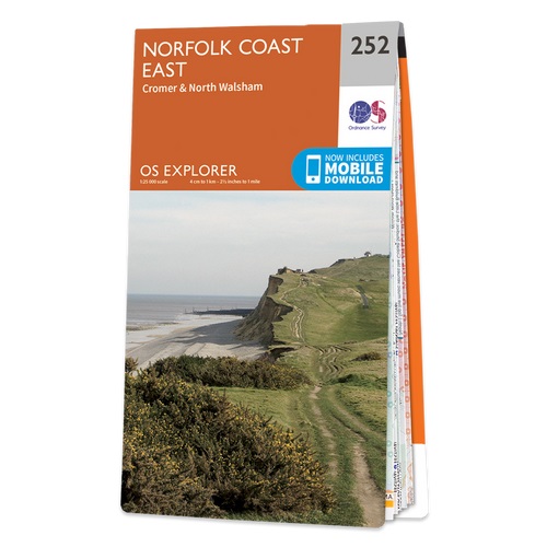
- Norfolk Coast East - Cromer & North Walsham OS Explorer Active Map 252 (waterproof)
- Norfolk Coast East, Cromer and North Walsham area on a detailed topographic and GPS compatible map No. 252, waterproof version, from the Ordnance Survey’s 1:25,000 Explorer series. MOBILE DOWNLOADS: this title and all the other OS Explorer maps include a code for downloading after purchase the digital version onto your smartphone or tablet for... Read more

The Book Depository
United Kingdom
United Kingdom
- Guide to Norfolk Pub Walks
- Discover Norfolk`s beautiful countryside with this guide to some of the best walks in the county. The 20 circular routes vary in length from 2 to 6 miles and are centred on a broad variety of pubs, all recommended for their good food and warm welcome. Explore miles of unspoilt golden sand along the North Norfolk Heritage Coast around... Read more
- Also available from:
- Stanfords, United Kingdom

Stanfords
United Kingdom
United Kingdom
- Guide to Norfolk Pub Walks
- Discover Norfolk`s beautiful countryside with this guide to some of the best walks in the county. The 20 circular routes vary in length from 2 to 6 miles and are centred on a broad variety of pubs, all recommended for their good food and warm welcome. Explore miles of unspoilt golden sand along the North Norfolk Heritage Coast around... Read more


- Also available from:
- De Zwerver, Netherlands

- Also available from:
- Stanfords, United Kingdom

Stanfords
United Kingdom
United Kingdom
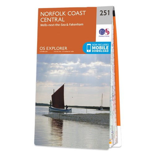
- Norfolk Coast Central - Wells-next-the-Sea & Fakenham OS Explorer Active Map 251 (waterproof)
- Norfolk Coast Central, Wells-next-the-Sea and Fakenham area on a detailed topographic and GPS compatible map No. 251, waterproof version, from the Ordnance Survey’s 1:25,000 Explorer series.MOBILE DOWNLOADS: this title and all the other OS Explorer maps include a code for downloading after purchase the digital version onto your smartphone or... Read more

- Also available from:
- Stanfords, United Kingdom

Stanfords
United Kingdom
United Kingdom
- Thetford, Diss, Breckland & Wymondham OS Landranger Active Map 144 (waterproof)
- Norfolk around Thetford, Diss, Breckland and Wymondham, including the southern part of the Peddars Wat and Norfolk Coast Path long-distance trail, on a waterproof and tear-resistant OS Active version of map No. 144 from the Ordnance Survey’s Landranger series at 1:50,000, with contoured and GPS compatible topographic mapping plus tourist... Read more

- Also available from:
- De Zwerver, Netherlands
De Zwerver
Netherlands
Netherlands

- Also available from:
- De Zwerver, Netherlands
- Stanfords, United Kingdom
De Zwerver
Netherlands
2015
Netherlands
2015

Stanfords
United Kingdom
2015
United Kingdom
2015
- Norfolk Coast East - Cromer & North Walsham OS Explorer Map 252 (paper)
- Norfolk Coast East, Cromer and North Walsham area on a detailed topographic and GPS compatible map No. 252, paper version, from the Ordnance Survey’s 1:25,000 Explorer series.MOBILE DOWNLOADS: this title and all the other OS Explorer maps include a code for downloading after purchase the digital version onto your smartphone or tablet for... Read more

The Book Depository
United Kingdom
2019
United Kingdom
2019
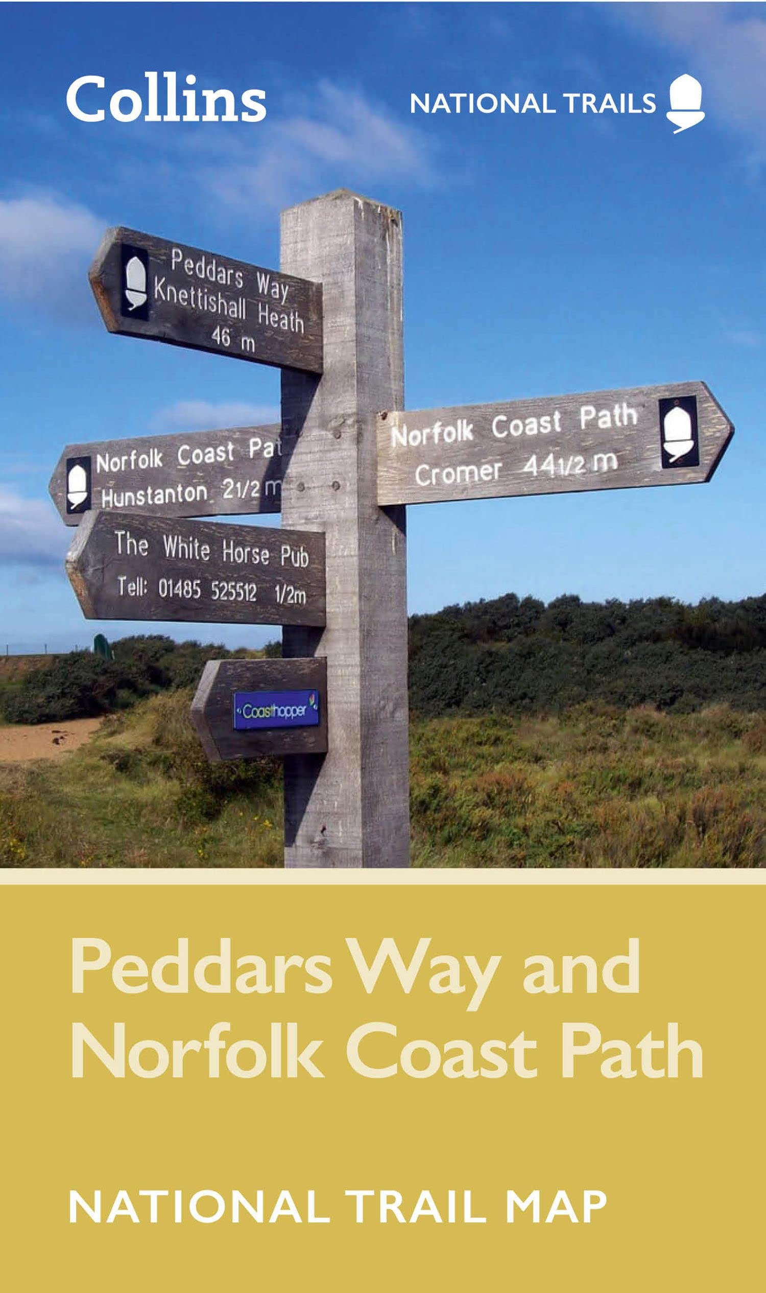
- The Peddars Way and Norfolk Coast Path
- 130 mile national trail - Norfolk's best inland and coastal scenery Read more
- Also available from:
- De Zwerver, Netherlands
- Stanfords, United Kingdom
De Zwerver
Netherlands
2019
Netherlands
2019
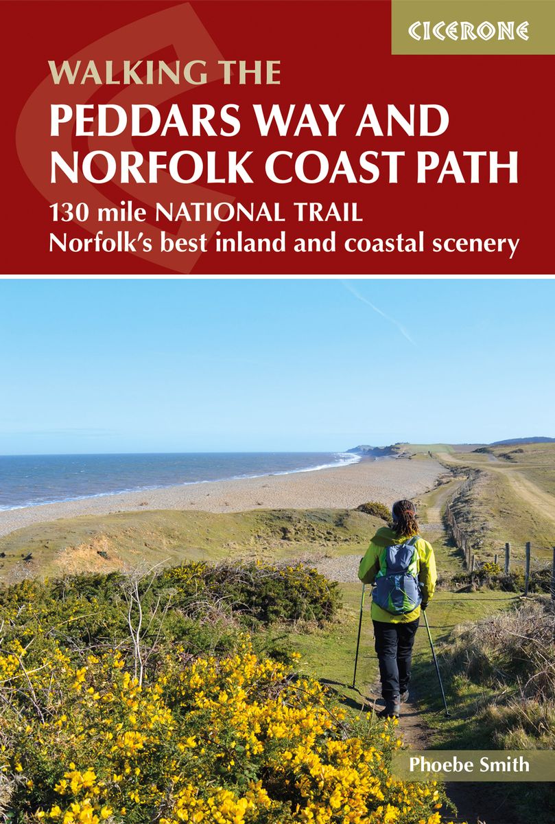
- Wandelgids The Peddars Way and Norfolk Coast Path | Cicerone
- The 130 mile Peddars Way and Norfolk Coast Path National Trail combines the best of inland and coastal walking, and is ideal for people new to long-distance walks. Beginning near Thetford, the route heads north west to near Hunstanton, then follows the heritage coast to Hopton-on-Sea, taking roughly one week to complete. Read more

Stanfords
United Kingdom
2019
United Kingdom
2019
- The Peddars Way and Norfolk Coast path: 130 mile national trail - Norfolk`s best inland and coastal scenery
- The Peddars Way and Norfolk Coast Path National Trail is an easy-to-follow 130-mile trail that combines the best of inland and coastal walking in Norfolk, and one that, being well waymarked, largely flat and within easy reach of public transport for most of its length, is ideal for people new to long-distance walks. Described in 11 stages, the... Read more


- Also available from:
- Stanfords, United Kingdom

Stanfords
United Kingdom
United Kingdom
- The View from the Hill: Four Seasons in a Walker`s Britain
- In Christopher Somerville`s workroom is a case of shelves that holds 450 notebooks. Their pages are creased and stained with mud, blood, flattened insect corpses, beer glass rings, smears of plant juice and gallons of sweat. Everything Somerville has written about walking the British countryside has had its origin among these little... Read more

- Also available from:
- De Zwerver, Netherlands
- Stanfords, United Kingdom
De Zwerver
Netherlands
2015
Netherlands
2015

Stanfords
United Kingdom
2015
United Kingdom
2015
- Norfolk Coast Central - Wells-next-the-Sea & Fakenham OS Explorer Map 251 (paper)
- Norfolk Coast Central, Wells-next-the-Sea and Fakenham area on a detailed topographic and GPS compatible map No. 251, paper version, from the Ordnance Survey’s 1:25,000 Explorer series.MOBILE DOWNLOADS: this title and all the other OS Explorer maps include a code for downloading after purchase the digital version onto your smartphone or tablet... Read more


- Also available from:
- De Zwerver, Netherlands
- Stanfords, United Kingdom

Stanfords
United Kingdom
2021
United Kingdom
2021
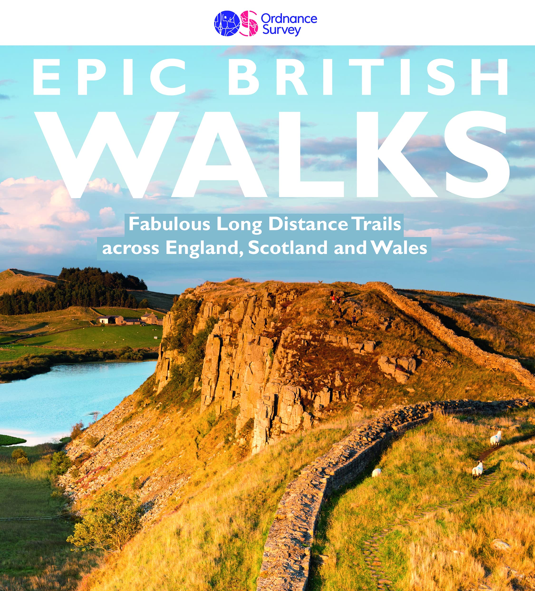
- Epic British Walks
- OS Epic British Walks allows the reader to take their walking dreams one step further with this inspiring introduction to distance walking and with thirty-eight amazing trails of immense diversity, each graded by difficulty, there are routes for first-time hikers as well as for the super-fit, seasoned multi-day rambler.This is the perfect book... Read more
Karten

The Book Depository
United Kingdom
United Kingdom
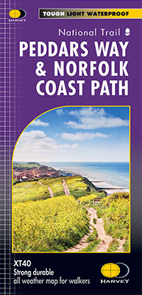
- Peddars Way & Norfolk Coast Path
- Detailed 1:40,000 scale maps of English and Welsh National trails and Scottish Great Trails”A great companion to a National Trail. Clear mapping and concise information enhance enjoyment of the journey.” Malcolm Hodgson, North York Moors NPA- The detail you need for sure navigation- Clear 1:40,000 scale mapping with full legend- Full legend-... Read more
- Also available from:
- De Zwerver, Netherlands
De Zwerver
Netherlands
Netherlands
- Wandelkaart Peddars Way & Norfolk Coast Path | Harvey Maps
- Detailed 1:40,000 scale maps of English and Welsh National trails and Scottish Great Trails”A great companion to a National Trail. Clear mapping and concise information enhance enjoyment of the journey.” Malcolm Hodgson, North York Moors NPA- The detail you need for sure navigation- Clear 1:40,000 scale mapping with full legend- Full legend-... Read more

De Zwerver
Netherlands
2023
Netherlands
2023

Stanfords
United Kingdom
United Kingdom
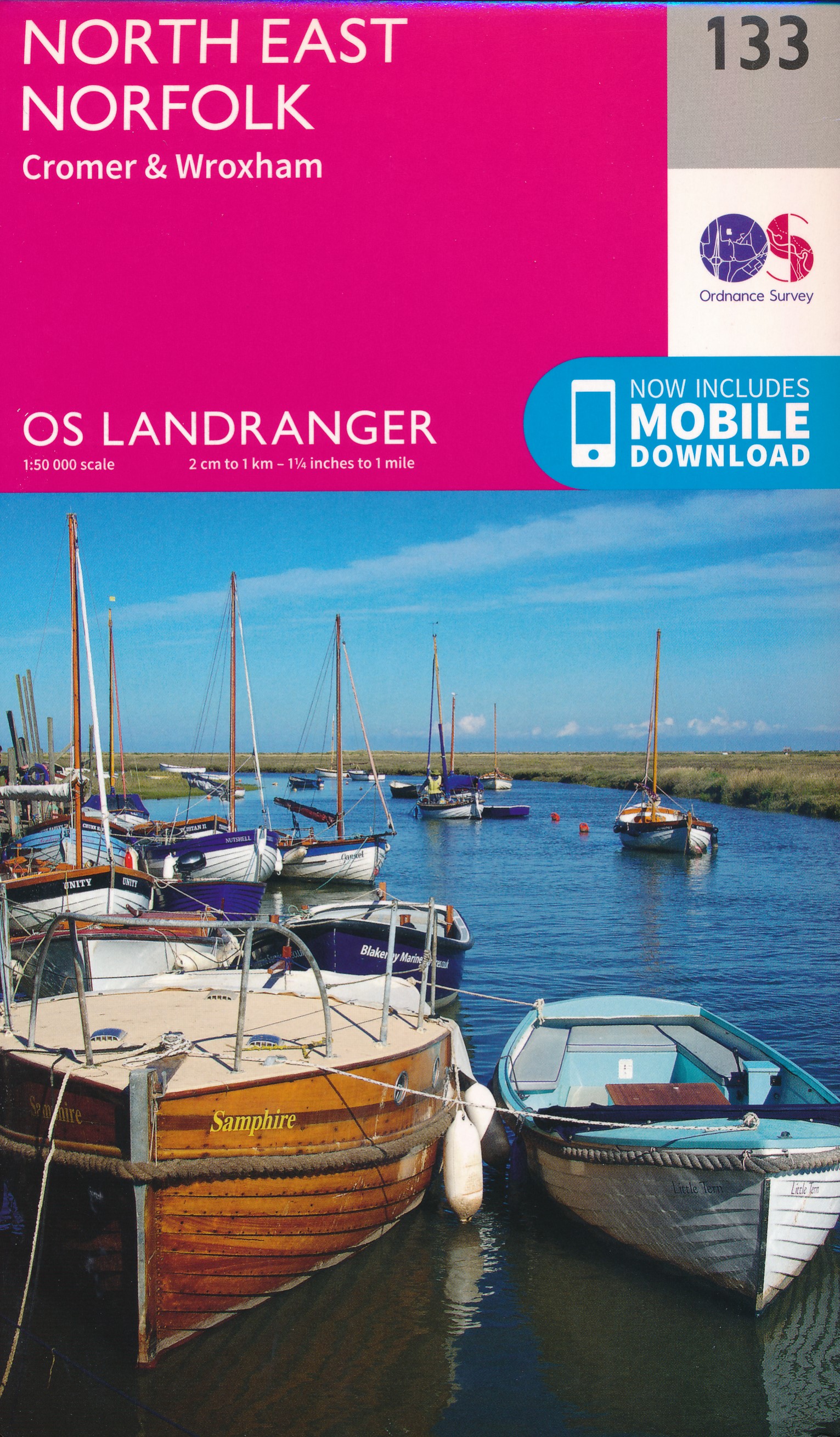
- North East Norfolk 1901-1902
- Map No. 133, North East Norfolk 1901-1902, in the Cassini Historical Series of old Ordnance Survey mapping of England and Wales at 1:50,000 in a format designed to offer a convenient comparison with the present day coverage from the OS, and most locations in three different editions. Old historical maps have been combined so that the sheet... Read more
Stanfords
United Kingdom
United Kingdom
- North West Norfolk 1824-1922 (3-map set)
- Map No. 132, North West Norfolk 1824-1922 (3-map set), in the Cassini Historical Series of old Ordnance Survey mapping of England and Wales at 1:50,000 in a format designed to offer a convenient comparison with the present day coverage from the OS, and most locations in three different editions. Old historical maps have been combined so that... Read more
Stanfords
United Kingdom
United Kingdom
- North East Norfolk 1838-1922 (3-map set)
- Map No. 133, North East Norfolk 1838-1922 (3-map set), in the Cassini Historical Series of old Ordnance Survey mapping of England and Wales at 1:50,000 in a format designed to offer a convenient comparison with the present day coverage from the OS, and most locations in three different editions. Old historical maps have been combined so that... Read more
Stanfords
United Kingdom
United Kingdom
- North West Norfolk 1824-1838
- Map No. 132, North West Norfolk 1824-1838, in the Cassini Historical Series of old Ordnance Survey mapping of England and Wales at 1:50,000 in a format designed to offer a convenient comparison with the present day coverage from the OS, and most locations in three different editions. Old historical maps have been combined so that the sheet... Read more
Stanfords
United Kingdom
United Kingdom
- North East Norfolk 1838
- Map No. 133, North East Norfolk 1838, in the Cassini Historical Series of old Ordnance Survey mapping of England and Wales at 1:50,000 in a format designed to offer a convenient comparison with the present day coverage from the OS, and most locations in three different editions. Old historical maps have been combined so that the sheet lines... Read more
Stanfords
United Kingdom
United Kingdom
- North West Norfolk 1921-1922
- Map No. 132, North West Norfolk 1921-1922, in the Cassini Historical Series of old Ordnance Survey mapping of England and Wales at 1:50,000 in a format designed to offer a convenient comparison with the present day coverage from the OS, and most locations in three different editions. Old historical maps have been combined so that the sheet... Read more
Stanfords
United Kingdom
United Kingdom
- North East Norfolk 1921-1922
- Map No. 133, North East Norfolk 1921-1922, in the Cassini Historical Series of old Ordnance Survey mapping of England and Wales at 1:50,000 in a format designed to offer a convenient comparison with the present day coverage from the OS, and most locations in three different editions. Old historical maps have been combined so that the sheet... Read more
Stanfords
United Kingdom
United Kingdom
- North West Norfolk 1901-1902
- Map No. 132, North West Norfolk 1901-1902, in the Cassini Historical Series of old Ordnance Survey mapping of England and Wales at 1:50,000 in a format designed to offer a convenient comparison with the present day coverage from the OS, and most locations in three different editions. Old historical maps have been combined so that the sheet... Read more