
Scottish Highlands
Beschreibung
The entire northern and western part of Scotland, including the islands. This is set apart of the southern and eastern part of Scotland, traditionally referred to as the Lowlands. The divide
Wanderwege Region
Links
Fakten
Berichte
Führer und Karten
Übernachtung
Organisationen
Reisebüros
GPS
Sonstiges
Bücher

- Also available from:
- De Zwerver, Netherlands
- Stanfords, United Kingdom

De Zwerver
Netherlands
Netherlands

Stanfords
United Kingdom
United Kingdom
- Worcester, The Malverns, Evesham & Tewkesbury OS Landranger Map 150 (paper)
- The area around Worcester, Great Malvern, Evesham and Tewkesbury, including the Malvern Hills and part of the Cotswold Way / E2 European Long-distance Path, on a paper version of map No. 150 from the Ordnance Survey’s Landranger series at 1:50,000, with contoured and GPS compatible topographic mapping plus tourist information.MOBILE DOWNLOADS:... Read more


- Also available from:
- De Zwerver, Netherlands
- Stanfords, United Kingdom

Stanfords
United Kingdom
2021
United Kingdom
2021
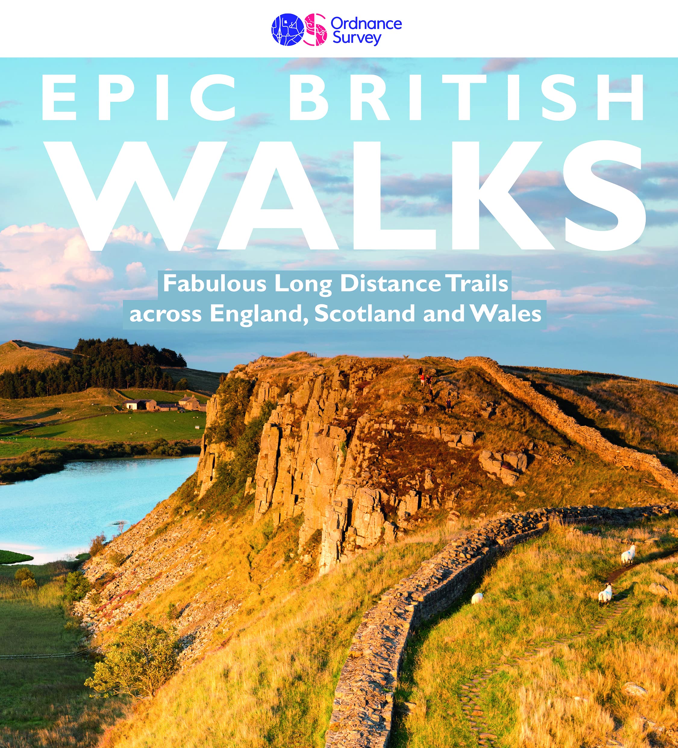
- Epic British Walks
- OS Epic British Walks allows the reader to take their walking dreams one step further with this inspiring introduction to distance walking and with thirty-eight amazing trails of immense diversity, each graded by difficulty, there are routes for first-time hikers as well as for the super-fit, seasoned multi-day rambler.This is the perfect book... Read more

- Also available from:
- Stanfords, United Kingdom

Stanfords
United Kingdom
United Kingdom
- Loch Laggan & Creag Meagaidh - Corrieyairick Pass OS Explorer Active Map OL55 (waterproof)
- Loch Laggan and Creag Meagaidh area of the Scottish Highlands on a detailed topographic and GPS compatible map OL55, waterproof version, from the Ordnance Survey’s 1:25,000 Explorer series. Coverage includes a section of the Cairngorms National Park, the Corrieyairack Pass and Forest, six Munro peaks including Cael Charn and Carn Liath,... Read more

- Also available from:
- De Zwerver, Netherlands
- Stanfords, United Kingdom

De Zwerver
Netherlands
Netherlands

Stanfords
United Kingdom
United Kingdom
- Maidstone, Royal Tunbridge Wells, Sevenoaks & Tonbridge OS Landranger Map 188 (paper)
- Maidstone, Tunbridge Wells and the High Weald area, including a section of the North Downs Way / E2 European Long-distance Path, on a paper version of map No. 188 from the Ordnance Survey’s Landranger series at 1:50,000, with contoured and GPS compatible topographic mapping plus tourist information.MOBILE DOWNLOADS: As well as the physical... Read more

- Also available from:
- De Zwerver, Netherlands
- Stanfords, United Kingdom

De Zwerver
Netherlands
Netherlands

Stanfords
United Kingdom
United Kingdom
- Ipswich, The Naze & Clacton-on-Sea OS Landranger Map 169 (paper)
- Ipswich with Harwich and The Naze area, including part of the E2 European Long-distance Path, on a paper version of map No. 169 from the Ordnance Survey’s Landranger series at 1:50,000, with contoured and GPS compatible topographic mapping plus tourist information.MOBILE DOWNLOADS: As well as the physical edition of the map, each Landranger... Read more

- Also available from:
- De Zwerver, Netherlands
- Stanfords, United Kingdom
De Zwerver
Netherlands
2018
Netherlands
2018

Stanfords
United Kingdom
2018
United Kingdom
2018
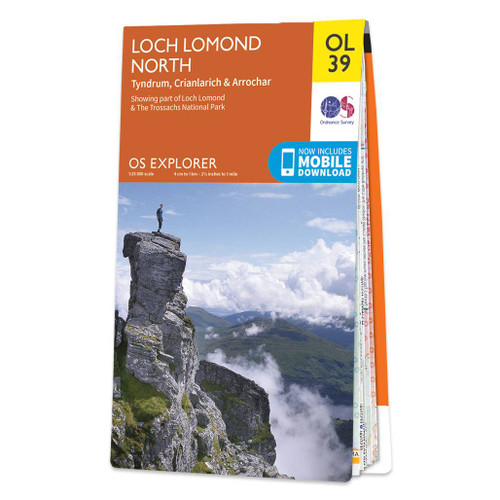
- Loch Lomond North - Tyndrum, Crianlarich & Arrochar OS Explorer Map OL39 (paper)
- The northern part of Loch Lomond on a detailed topographic and GPS compatible map OL39, paper version, from the Ordnance Survey’s 1:25,000 Explorer series. Coverage includes a section of the Loch Lomond and The Trossachs National Park with parts of the Queen Elizabeth Forest Park and the Argyll Forest Park, 14 Munro peaks including An Caisteal,... Read more

The Book Depository
United Kingdom
2021
United Kingdom
2021
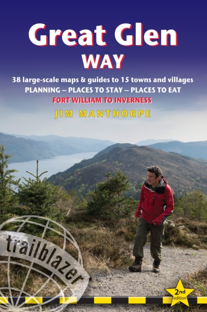
- Great Glen Way (Trailblazer British Walking Guides)
- 38 Large-Scale Maps & Guides to 18 Towns and Villages - Planning, Places to Stay, Places to Eat - Fort William to Inverness Read more
- Also available from:
- De Zwerver, Netherlands
- Stanfords, United Kingdom
De Zwerver
Netherlands
2021
Netherlands
2021
- Wandelgids Great Glen Way | Trailblazer Guides
- All-in-one, practical guide to walking the Great Glen Way long-distance footpath. The trail begins where the West Highland Way ends - at Fort William - and follows the Great Glen faultline to finish at Inverness after 79 miles (127km). The trail passes Loch Lochy, Loch Oich and Loch Ness and also follows the towpath of the Caledonian Canal.... Read more

Stanfords
United Kingdom
2021
United Kingdom
2021
- Great Glen Way (Trailblazer British Walking Guide): 38 Large-Scale Maps & Guides to 18 Towns and Villages - Planning, Places to Stay, Places to Eat - Fort William to Inverness
- All-in-one, practical guide to walking the Great Glen Way long-distance footpath. The trail begins where the West Highland Way ends - at Fort William - and follows the Great Glen faultline to finish at Inverness after 79 miles (127km). The trail passes Loch Lochy, Loch Oich and Loch Ness and also follows the towpath of the Caledonian Canal.... Read more

- Also available from:
- Stanfords, United Kingdom

Stanfords
United Kingdom
United Kingdom
- Reading, Windsor, Henley-on-Thames & Bracknell OS Landranger Active Map 175 (waterproof)
- Reading – Windsor area, including a section of the Thames Path / E2 European Long-distance Path, on a waterproof and tear-resistant OS Active version of map No. 175 from the Ordnance Survey’s Landranger series at 1:50,000, with contoured and GPS compatible topographic mapping plus tourist information.MOBILE DOWNLOADS: As well as the physical... Read more

- Also available from:
- De Zwerver, Netherlands
- Stanfords, United Kingdom

De Zwerver
Netherlands
Netherlands

Stanfords
United Kingdom
United Kingdom
- Stratford-upon-Avon, Warwick & Banbury OS Landranger Map 151 (paper)
- The area between Stratford-upon-Avon, Warwick and Banbury, including the northern part of the Cotswold Hills and part of the Cotswold Way / E2 European Long-distance Path, on a paper version of map No. 151 from the Ordnance Survey’s Landranger series at 1:50,000, with contoured and GPS compatible topographic mapping plus tourist... Read more

The Book Depository
United Kingdom
2020
United Kingdom
2020
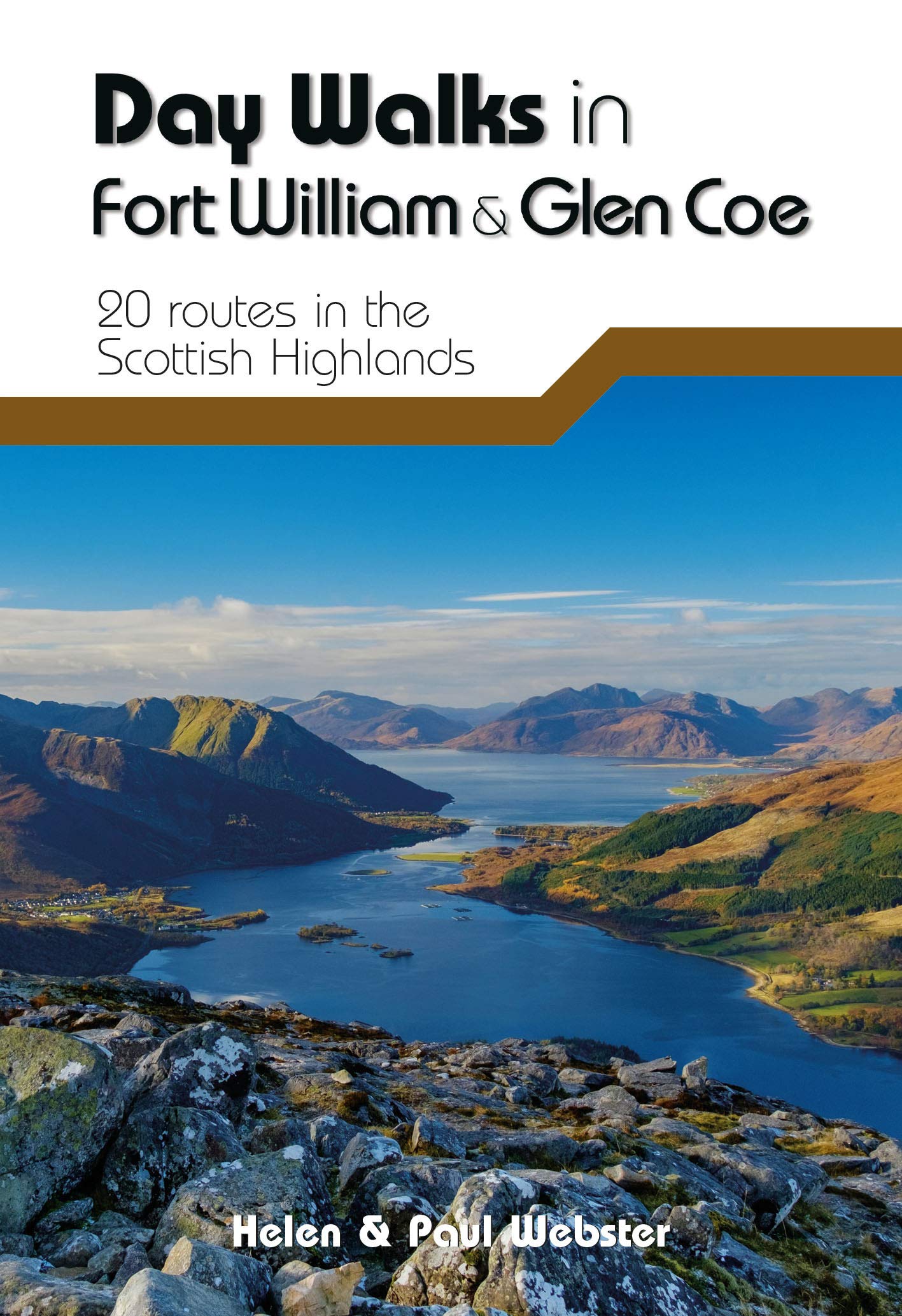
- Day Walks in Fort William & Glen Coe
- 20 routes in the Scottish Highlands Read more
- Also available from:
- De Zwerver, Netherlands
- Stanfords, United Kingdom
De Zwerver
Netherlands
2020
Netherlands
2020
- Wandelgids Day Walks in Fort William and Glen Coe | Vertebrate Publishing
- Day Walks in Fort William & Glen Coe features 20 routes between 4.4 and 14.4 miles (7km and 23.2km) in length, spread across the Scottish Highlands. Researched and written by experienced and knowledgeable authors Helen and Paul Webster, founders of the Walkhighlands website, the walks range from gentle rambles to more challenging day walks, all... Read more

Stanfords
United Kingdom
2020
United Kingdom
2020
- Day Walks in Fort William & Glen Coe
- Day Walks in Fort William & Glen Coe features 20 routes between 4.4 and 14.4 miles (7km and 23.2km) in length, spread across the Scottish Highlands. Researched and written by experienced and knowledgeable authors Helen and Paul Webster, founders of the Walkhighlands website, the walks range from gentle rambles to more challenging day walks, all... Read more

The Book Depository
United Kingdom
United Kingdom
- Also available from:
- Stanfords, United Kingdom

Stanfords
United Kingdom
United Kingdom
- The Trossachs - Callander, Aberfoyle & Lochearnhead, Balquhidder & Strathyre OS Explorer Active Map OL46 (waterproof)
- The Trossachs area of the Scottish Highlands on a detailed topographic and GPS compatible map OL46, waterproof version, from the Ordnance Survey’s 1:25,000 Explorer series. Coverage includes a section of the Loch Lomond and The Trossachs National Park with parts of the Queen Elizabeth Forest Park, five Munro peaks including Stob Binnein and Ben... Read more

The Book Depository
United Kingdom
2022
United Kingdom
2022
- Also available from:
- De Zwerver, Netherlands
- Stanfords, United Kingdom
De Zwerver
Netherlands
2022
Netherlands
2022

Stanfords
United Kingdom
2022
United Kingdom
2022
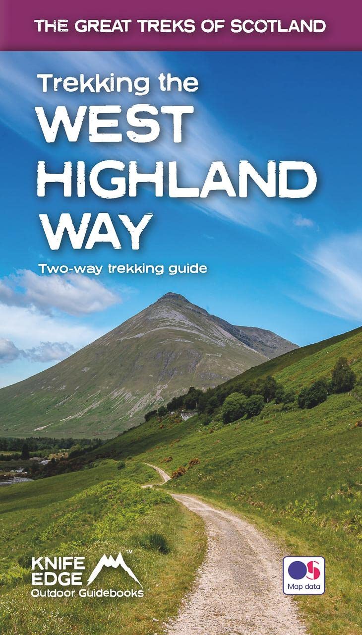
- Trekking the West Highland Way - Two-way trekking guide
- The definitive two-way guide to the West Highland Way: both northbound and southbound routes are described in full.Real Maps: Full Ordnance Survey Explorer mapping inside (1:25,000)17 different itineraries: schedules of 3, 4, 5, 6, 7, 8, 9, 10 and 11 days for hikers and runners. Includes both southbound and northbound itineraries. Difficult... Read more

- Also available from:
- Stanfords, United Kingdom

Stanfords
United Kingdom
United Kingdom
- Aboyne, Alford & Strathdon OS Explorer Active Map OL59 (waterproof)
- Aboyne, Alford and Strathdon area of the Scottish Highlands on a detailed topographic and GPS compatible map OL59, waterproof version, from the Ordnance Survey’s 1:25,000 Explorer series. Coverage includes part of the Cairngorms National Park, Ballater, Lochs Davan and Kinord, etc.MOBILE DOWNLOADS: this title and all the other OS Explorer maps... Read more

- Also available from:
- De Zwerver, Netherlands
- Stanfords, United Kingdom

De Zwerver
Netherlands
Netherlands

Stanfords
United Kingdom
United Kingdom
- Cheltenham, Cirencester & Stow-on-the-Wold OS Landranger Map 163 (paper)
- Cheltenham and Cirencester area, including sections of the Thames Path, the Cotswold Way and the E2 European Long-distance Path, on a paper version of map No. 163 from the Ordnance Survey’s Landranger series at 1:50,000, with contoured and GPS compatible topographic mapping plus tourist information.MOBILE DOWNLOADS: As well as the physical... Read more
Karten

- Also available from:
- Stanfords, United Kingdom
Stanfords
United Kingdom
United Kingdom
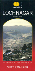
- Lochnagar & Glen Shee Harvey Superwalker
- Lochnagar and Glen Shee area of the Scottish Highlands at 1:25,000 on a waterproof and tear-resistant map from Harvey Map Services in their Superwalker series. Coverage includes the Glenshee Ski Centre and Loch Muick.Maps in Harvey’s Superwalker series have contours at 15m intervals, with additional graphics for various types of terrain (crags,... Read more

The Book Depository
United Kingdom
2018
United Kingdom
2018
- East Highland Way
- East Highland Way, a 132km / 82 miles trail on a light, waterproof and tear-resistant map at 1:40,000 from Harvey Map Services presenting the route accompanied by extensive additional tourist information. The route links Fort Williams, the northern point of the West Highland Way and the southern point of the Great Glen Way, with Aviemore, the... Read more
- Also available from:
- De Zwerver, Netherlands
- Stanfords, United Kingdom

De Zwerver
Netherlands
2018
Netherlands
2018
- Wandelkaart East Highland Way | Harvey Maps
- East Highland Way, a 132km / 82 miles trail on a light, waterproof and tear-resistant map at 1:40,000 from Harvey Map Services presenting the route accompanied by extensive additional tourist information. The route links Fort Williams, the northern point of the West Highland Way and the southern point of the Great Glen Way, with Aviemore, the... Read more

Stanfords
United Kingdom
2018
United Kingdom
2018
- East Highland Way Harvey National Trail XT40
- East Highland Way, a 132km / 82 miles trail on a light, waterproof and tear-resistant map at 1:40,000 from Harvey Map Services presenting the route accompanied by extensive additional tourist information. The route links Fort Williams, the northern point of the West Highland Way and the southern point of the Great Glen Way, with Aviemore, the... Read more

- Also available from:
- Stanfords, United Kingdom
Stanfords
United Kingdom
United Kingdom
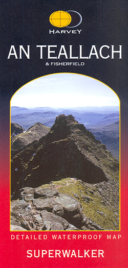
- An Teallach & Fisherfield Harvey Superwalker
- An Teallach and Fisherfield area of Scottish Highlands at 1:25,000 on a waterproof and tear-resistant, GPS compatible map from Harvey Map Services in their Superwalker series covering popular hiking areas of Great Britain and Ireland, annotated with additional information for walkers.Maps in Harvey’s Superwalker series have contours at 15m... Read more

- Also available from:
- De Zwerver, Netherlands
- Stanfords, United Kingdom

De Zwerver
Netherlands
Netherlands
- Wandelkaart The Great Trossachs Path | Harvey Maps
- The Great Trossachs Path, a 48km / 30 mile long spur off the West Highlight Way linking Inversnaid on Lomond with Callander presented at 1:40,000 on a GPS compatible, light, waterproof and tear-resistant map from Harvey Map Services. The route which runs along the shores of Loch Arklet, Loch Katrine, Loch Achray and Loch Venachar and links in... Read more

Stanfords
United Kingdom
United Kingdom
- The Great Trossachs Path Harvey National Trail XT40
- The Great Trossachs Path, a 48km / 30 mile long spur off the West Highlight Way linking Inversnaid on Lomond with Callander presented at 1:40,000 on a GPS compatible, light, waterproof and tear-resistant map from Harvey Map Services. The route which runs along the shores of Loch Arklet, Loch Katrine, Loch Achray and Loch Venachar and links in... Read more

The Book Depository
United Kingdom
United Kingdom
- Great Glen Way
- Great Glen Way, a 126km/79 miles trail from Fort William along Loch Ness to Inverness, presented at 1:40,000 on a light, waterproof and tear-resistant map from Harvey Map Services. The whole route is covered on four overlapping panels, and includes street plans of Fort William (showing the start/end of the West Highland Way) and Inverness. Map... Read more
- Also available from:
- De Zwerver, Netherlands
- Stanfords, United Kingdom

De Zwerver
Netherlands
Netherlands
- Wandelkaart Great Glen Way | Harvey Maps
- Great Glen Way, a 126km/79 miles trail from Fort William along Loch Ness to Inverness, presented at 1:40,000 on a light, waterproof and tear-resistant map from Harvey Map Services. The whole route is covered on four overlapping panels, and includes street plans of Fort William (showing the start/end of the West Highland Way) and Inverness. Map... Read more

Stanfords
United Kingdom
United Kingdom
- Great Glen Way Harvey National Trail XT40
- Great Glen Way, a 126km/79 miles trail from Fort William along Loch Ness to Inverness, presented at 1:40,000 on a light, waterproof and tear-resistant map from Harvey Map Services. The whole route is covered on four overlapping panels, and includes street plans of Fort William (showing the start/end of the West Highland Way) and Inverness. Map... Read more

- Also available from:
- De Zwerver, Netherlands
- Stanfords, United Kingdom
De Zwerver
Netherlands
Netherlands
- Wandelkaart Arran including Arran Coastal Way | Harvey Maps
- The Scottish island of Arran at 1:25,000 on a double-sided, a waterproof and tear-resistant, GPS compatible map from Harvey Map Services in their Superwalker series, with highlighting for the Arran Coastal Way and a list of archaeological and historical sites. The map divides the island east/west, with a good overlap between the sides. The... Read more

Stanfords
United Kingdom
United Kingdom
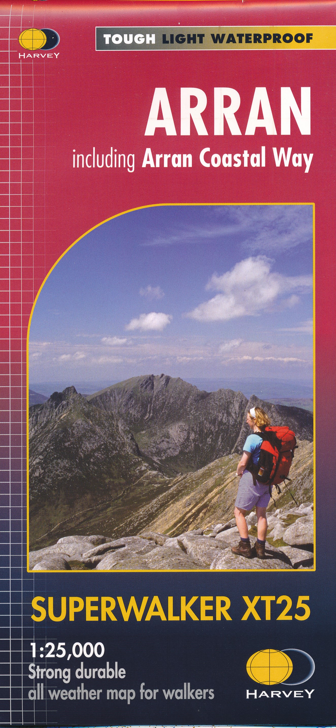
- Arran - incl. Arran Coastal Way Harvey Superwalker XT25 Map
- The Scottish island of Arran at 1:25,000 on a double-sided, a waterproof and tear-resistant, GPS compatible map from Harvey Map Services in their Superwalker series, with highlighting for the Arran Coastal Way and with a list of archaeological and historical sites. The map divides the island east/west, with a good overlap between the sides. The... Read more

- Also available from:
- De Zwerver, Netherlands
- Stanfords, United Kingdom
De Zwerver
Netherlands
2010
Netherlands
2010
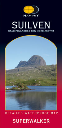
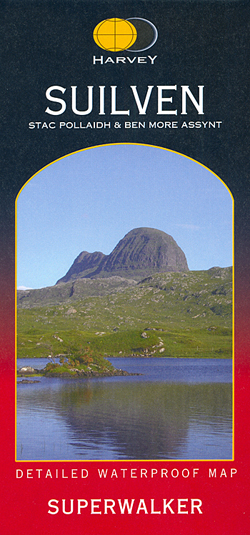
- Wandelkaart Suilven / Stac Pollaidh & Ben More Assynt harve | Harvey Maps
- The Suilven area of Scottish Highlands at 1:25,000 on a waterproof and tear-resistant map from Harvey Map Services in their Superwalker series. Coverage extends from Loch Inver and Loch Assynt in the north southwards to Loch Lurgainn, Cam Loch and Ledmore Junction in the south, and includes Stac Pollaidh, C Read more
Stanfords
United Kingdom
2010
United Kingdom
2010
- Suilven Harvey Superwalker
- The Suilven area of Scottish Highlands at 1:25,000 on a waterproof and tear-resistant map from Harvey Map Services in their Superwalker series. Coverage extends from Loch Inver and Loch Assynt in the north southwards to Loch Lurgainn, Cam Loch and Ledmore Junction in the south, and includes Stac Pollaidh, Cùl Mòr and Ben More Assynt.Maps in... Read more

The Book Depository
United Kingdom
United Kingdom
- Rob Roy Way
- Mooie, duidelijke kaart van de Rob Roy Way in Schotland. Geplastificeerd met veel extra informatie en uitsnedes van de route. One of Scotland's Great Trails Rob Roy Way is a walk across part of the Southern Highlands of Scotland taking in some of the most beautiful countryside in the UK. Starting from Drymen it goes north east to finish in... Read more
- Also available from:
- De Zwerver, Netherlands
- Stanfords, United Kingdom

De Zwerver
Netherlands
Netherlands
- Wandelkaart Rob Roy Way | Harvey Maps
- Mooie, duidelijke kaart van de Rob Roy Way in Schotland. Geplastificeerd met veel extra informatie en uitsnedes van de route. One of Scotland's Great Trails Rob Roy Way is a walk across part of the Southern Highlands of Scotland taking in some of the most beautiful countryside in the UK. Starting from Drymen it goes north east to finish in... Read more

Stanfords
United Kingdom
United Kingdom
- Rob Roy Way Harvey National Trail XT40
- Rob Roy Way, one of Scotland’s Great Trails from Drymen just north of Glasgow along Loch Tay to Pitlochry on the edge of the Cairngorms National Park presented at 1:40,000 on a light, waterproof and tear-resistant map from Harvey Map Services. The whole route, either 124km/77 miles or 151km/94 miles long depending on which variant one follows,... Read more

The Book Depository
United Kingdom
United Kingdom
- The West Highland Way (Footprint Map)
- A Footprint Map-Guide to the 95 Mile Route Between Milngavie and Fort William Read more
- Also available from:
- De Zwerver, Netherlands
- Stanfords, United Kingdom

De Zwerver
Netherlands
Netherlands
- Wandelkaart The West Highland Way | Footprint maps
- The West Highland Way waterproof map from Footprint is a map-guide to the 95 mile (153km) route between Milngavie and Fort William. The mapping is based on Ordnance Survey data at a scale of 1:40,000, with compact and concise information for walkers. Read more

Stanfords
United Kingdom
United Kingdom
- The West Highland Way - 95 Mile Route Between Milngavie and Fort William
- The West Highland Way waterproof map from Footprint is a map-guide to the 95 mile (153km) route between Milngavie and Fort William. The mapping is based on Ordnance Survey data at a scale of 1:40,000, with compact and concise information for walkers. Read more

The Book Depository
United Kingdom
2020
United Kingdom
2020
- West Highland Way
- Easy-to-use folding map and essential information, with custom itinerary planning for walkers, trekkers, fastpackers and trail runners Read more
- Also available from:
- De Zwerver, Netherlands
- Stanfords, United Kingdom

De Zwerver
Netherlands
2020
Netherlands
2020
- Wandelkaart West Highland Way | Vertebrate Publishing
- The 153-kilometre West Highland Way encompasses the variety of Scotland`s wild places. The route, which begins in Milngavie and finishes in Fort William, passes from Glasgow, Scotland`s friendliest city, through lochs and forests, and across wild moors in the shadows of Munros. Offering panoramic views and clear waymarking, it is no wonder this... Read more

Stanfords
United Kingdom
2020
United Kingdom
2020
- West Highland Way - Easy-to-use Folding Map and Essential Information
- The 153-kilometre West Highland Way encompasses the variety of Scotland`s wild places. The route, which begins in Milngavie and finishes in Fort William, passes from Glasgow, Scotland`s friendliest city, through lochs and forests, and across wild moors in the shadows of Munros. Offering panoramic views and clear waymarking, it is no wonder this... Read more

The Book Depository
United Kingdom
2013
United Kingdom
2013
- South Loch Ness Trail
- The South Loch Ness Trail, a 45km / 28 mile long hiking route from Loch Tarff near Fort Augustus on the southern tip of Loch Ness to Torbreck on the outskirts of Inverness at 1:40,000 on GPS compatible, light, waterproof and tear-resistant map from Harvey Map Services. The map also highlights the course of the Trail of the 7 Lochs, an 80km / 50... Read more
- Also available from:
- De Zwerver, Netherlands
- Stanfords, United Kingdom

De Zwerver
Netherlands
2013
Netherlands
2013
- Wandelkaart South Loch Ness Trail | Harvey Maps
- The South Loch Ness Trail, a 45km / 28 mile long hiking route from Loch Tarff near Fort Augustus on the southern tip of Loch Ness to Torbreck on the outskirts of Inverness at 1:40,000 on GPS compatible, light, waterproof and tear-resistant map from Harvey Map Services. The map also highlights the course of the Trail of the 7 Lochs, an 80km / 50... Read more

Stanfords
United Kingdom
2013
United Kingdom
2013
- South Loch Ness Trail Harvey National Trail XT40
- The South Loch Ness Trail, a 45km / 28 mile long hiking route from Loch Tarff near Fort Augustus on the southern tip of Loch Ness to Torbreck on the outskirts of Inverness at 1:40,000 on GPS compatible, light, waterproof and tear-resistant map from Harvey Map Services. The map also highlights the course of the Trail of the 7 Lochs, an 80km / 50... Read more
De Zwerver
Netherlands
2022
Netherlands
2022
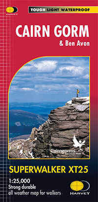
- Wandelkaart Cairn Gorm | Harvey Maps
- The Cairn Gorm area in the heart of the Scottish Highlands at 1:25,000 on a waterproof and tear-resistant map from Harvey Map Services in their Superwalker series. The peak of Cairn Gorm is on the eastern side of the map, with coverage extending north to Glanmore and the outskirts of Aviemore, west to Achlean and River Feshie and south to the... Read more
- Also available from:
- Stanfords, United Kingdom

Stanfords
United Kingdom
2022
United Kingdom
2022
- Cairn Gorm & Ben Avon Harvey Superwalker XT25
- Cairn Gorm and Ben Avon area in the heart of the Scottish Highlands at 1:25,000 on a waterproof and tear-resistant map from Harvey Map Services in their Superwalker series. The peak of Cairn Gorm is on the eastern side of the map, with coverage extending north to Glanmore and the outskirts of Aviemore, west to Achlean and River Feshie and south... Read more

Stanfords
United Kingdom
United Kingdom
- Ben Venue - Loch Ard Forest & the Trossachs Harvey Superwalker
- Ben Venue: Loch Ard Forest and the Trossachs area of the Scottish Highlands at 1:25,000 on a waterproof and tear-resistant map from Harvey Map Services in their Superwalker series.Maps in Harvey’s Superwalker series have contours at 15m intervals, with additional graphics for various types of terrain (crags, large boulders, scattered rocks) and... Read more

Stanfords
United Kingdom
United Kingdom
- Ben Avon Harvey Superwalker XT25
- Ben Avon area of the Scottish Highlands at 1:25,000 on a waterproof and tear-resistant map from Harvey Map Services in their Superwalker series. Maps in Harvey’s Superwalker series have contours at 15m intervals, with additional graphics for various types of terrain (crags, large boulders, scattered rocks) and colouring for different kinds of... Read more

Stanfords
United Kingdom
United Kingdom
- Luxembourg North
- One of two topographic survey maps of Luxembourg at 1:50,000, with contours at 10-metres intervals and additional relief shading. An overprint highlights long-distance footpaths, including the GR5 (E-2), cycle routes, and various places of interest, including campsites. The map covers an area of approximately 53 x 43 km / 33 x 27 miles. Map... Read more