
Wales
Beschreibung
Karte

Wanderwege Landesteil
- All Wales Coast PathGPX
- Beacons WayGPX
- Cambrian Way
- Clwydian WayGPX
- Coed Morgannwg Way
- Dyfi Valley Way
- Glamorgan Ridgeway
- Glyndŵr's WayGPX
- Isle of Anglesey Coastal PathGPX
- Llŷn Coastal PathGPX
- North Wales PathGPX
- Offa's Dyke PathGPX
- Pembrokeshire Coast PathGPX
- Severn WayGPX
- Sirhowy Valley Walk
- Usk Valley WalkGPX
- Wye Valley WalkGPX
Links
Fakten
Berichte
Führer und Karten
Übernachtung
Organisationen
Reisebüros
GPS
Sonstiges
Bücher


The Book Depository
United Kingdom
United Kingdom
- Carmarthen Bay & Gower
- Circular Walks Along the Wales Coast Path Read more
- Also available from:
- Stanfords, United Kingdom

Stanfords
United Kingdom
United Kingdom
- Carmarthen Bay & Gower: Circular Walks Along the Wales Coast Path
- One of a series of ten books in the new Top 10 Walks: Wales Coast Path series. Handy, pocket-sized, full colour walking guides written by experts.. Each volume outlines the most popular circular walks along key sections of the coast path, with clear information, an overview and introduction for each walk, expertly written numbered directions,... Read more


The Book Depository
United Kingdom
United Kingdom
- Coastal Pub Walks: South Wales (Wales Coast Path: Top 10 Walks)
- Circular walks to amazing pubs along the Wales Coast Path Read more


- Also available from:
- Stanfords, United Kingdom

Stanfords
United Kingdom
United Kingdom
- The Wales Coast Path: A Practical Guide for Walkers
- The Wales Coast Path - A Practical Guide for Walkers, now in an updated and fully revised second edition, is the bestselling and essential companion to the whole 896 mile path for both the serious long-distance walker and for day-trippers who wish to tackle the path one stage at a time.The Wales Coast Path - A Practical Guide for Walkers:... Read more

The Book Depository
United Kingdom
United Kingdom
- Wat's Dyke Way Heritage Trail
- A 61-mile Linear Walk Through the Borderland of England and North Wales Read more

The Book Depository
United Kingdom
2021
United Kingdom
2021
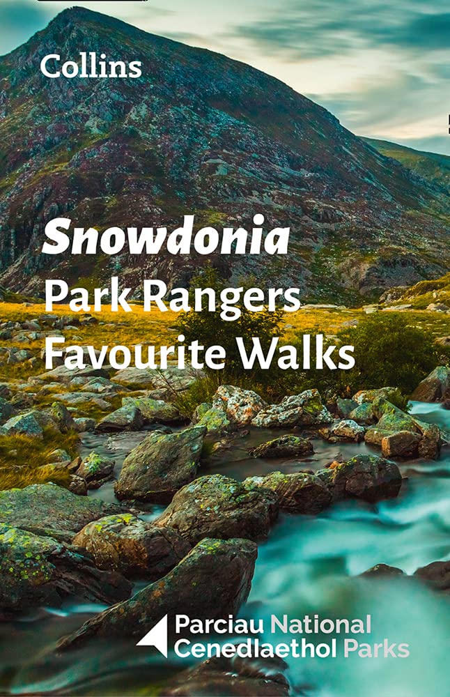
- Snowdonia Park Rangers Favourite Walks
- 20 of the Best Routes Chosen and Written by National Park Rangers Read more
- Also available from:
- De Zwerver, Netherlands
De Zwerver
Netherlands
2021
Netherlands
2021
- Wandelgids Park Rangers Favourite Walks Snowdonia | Collins
- Walking guide to the Snowdonia National Park, with 20 best routes chosen by the park rangers. Each walk varies in length from 2 to 10 km and can be completed in less than 4 hours. 20 best routes chosen and written by National Park rangers Walks from 2 to 10kmDetailed description for each walk with highlights clearly marked on... Read more

The Book Depository
United Kingdom
United Kingdom
- National Trust Walks: 1. Northern Wales
- National Trust Walks Read more

The Book Depository
United Kingdom
United Kingdom
- Tales from the Big Trails
- A forty-year quest to walk the iconic long-distance trails of England, Scotland and Wales Read more

The Book Depository
United Kingdom
United Kingdom
- Also available from:
- De Zwerver, Netherlands
- Stanfords, United Kingdom
De Zwerver
Netherlands
Netherlands

Stanfords
United Kingdom
United Kingdom
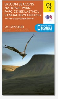
- Brecon Beacons Western & Central OS Explorer Map OL12 (paper)
- The Western and central areas of the Brecon Beacons National Park on a detailed topographic and GPS compatible map OL12, paper version, from the Ordnance Survey’s 1:25,000 Explorer series. Coverage extends from Merthyr Tydfil in the south-east to Llandovery in the north-west and highlights include the Black Mountain, Fforest Fawr, the Beacons... Read more


- Also available from:
- De Zwerver, Netherlands
- Stanfords, United Kingdom
De Zwerver
Netherlands
2022
Netherlands
2022
- Wandelgids Walking the Wales Coast Path | Cicerone
- Llwybr Arfordir Cymru Read more

Stanfords
United Kingdom
2022
United Kingdom
2022
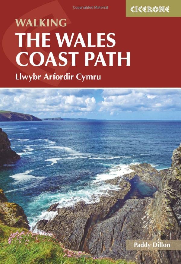
- Walking the Wales Coast Path: Llwybr Arfordir Cymru
- The Wales Coast Path offers an unparalleled opportunity to walk a nation`s coastline in its entirety. Stretching 1400km (870 miles) from Chester to Chepstow, including Anglesey, the waymarked trail takes 2-3 months to complete but can easily be broken into shorter sections. The walking is generally not difficult, although there are occasional... Read more
The Book Depository
United Kingdom
United Kingdom

- Also available from:
- De Zwerver, Netherlands
- Stanfords, United Kingdom
De Zwerver
Netherlands
Netherlands

Stanfords
United Kingdom
United Kingdom
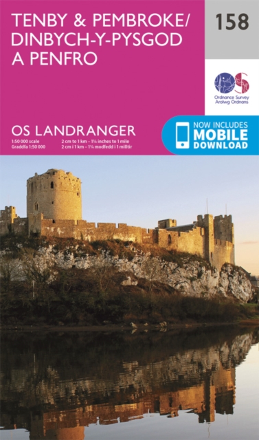
- Tenby & Pembroke OS Landranger Map 158 (paper)
- Southern coast of Wales between Pentywyn, Tenby and Pembroke, including part of the Pembrokeshire Coast National Park, on a paper version of map No. 158 from the Ordnance Survey’s Landranger series at 1:50,000, with contoured and GPS compatible topographic mapping plus tourist information.MOBILE DOWNLOADS: As well as the physical edition of the... Read more
Karten

- Also available from:
- De Zwerver, Netherlands


The Book Depository
United Kingdom
United Kingdom
- Walkers Map Brecon and The Black Mountains
- Brecon and The Black Mountains at 1:25,000 in a series of Walker Read more

The Book Depository
United Kingdom
United Kingdom
- North York Moors (Eastern)
- The eastern part of the North Yorkshire Moors at 1:25,000 in a series of Walker Read more
- Also available from:
- Stanfords, United Kingdom

Stanfords
United Kingdom
United Kingdom
- North York Moors East 25K AA/OS Walker`s Map No. 12
- The eastern part of the North Yorkshire Moors at 1:25,000 in a series of Walker’s Maps published by the AA with the cartography from the Ordnance Survey’s Explorer series. The map is double-sided and coverage includes the North Yorks Moors National Park, Scarborough, Robin Hood’s Bay, Whitby, Lythe, Staithes, Loftus, Goathland,... Read more

The Book Depository
United Kingdom
2022
United Kingdom
2022
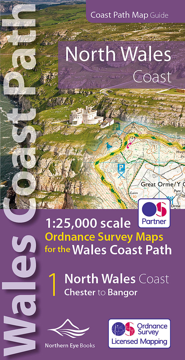
- North Wales Coast Path Map
- 1:25,000 scale Ordnance Survey mapping for the Wales Coast Path Read more
- Also available from:
- De Zwerver, Netherlands
- Stanfords, United Kingdom
De Zwerver
Netherlands
2022
Netherlands
2022
- Wandelkaart North Wales Coast Path Map | Northern Eye Books
- One of seven handy, lightweight, pocket sized map bookscovering the whole of the 870 mile/1400 kilometre Wales Coast Path. This volume covers North Wales from Chester to Bangor and includes enhanced large scale (1:25,000) Ordnance Survey mapping in a handy atlas format, with extracts from large scale Explorer maps 266, 265, 264 and OL17.The... Read more

Stanfords
United Kingdom
2022
United Kingdom
2022
- North Wales Coast - Chester to Bangor - Wales Coast Path Map-Booklet
- One of seven handy, lightweight, pocket sized map bookscovering the whole of the 870 mile/1400 kilometre Wales Coast Path. This volume covers North Wales from Chester to Bangor and includes enhanced large scale (1:25,000) Ordnance Survey mapping in a handy atlas format, with extracts from large scale Explorer maps 266, 265, 264 and OL17.The... Read more

The Book Depository
United Kingdom
United Kingdom
- West and Central Brecon Beacons
- West and Central Brecon Beacons at 1:25,000 in a series of Walker Read more
- Also available from:
- Stanfords, United Kingdom

Stanfords
United Kingdom
United Kingdom
- West & Central Brecon Beacons AA Walker`s Map 18
- West and Central Brecon Beacons at 1:25,000 in a series of Walker’s Maps published by the AA with the cartography from the Ordnance Survey’s Explorer series. The map is double-sided and coverage includes Brecon beacons National Park, Merthyr Tydfil, Brecon, Trecastle, Llandovery, Llanwrda, Llandeilo, etc.Maps in the AA Walker’s series are... Read more

The Book Depository
United Kingdom
United Kingdom
- Eastbourne and Beachy Head
- Eastbourne and Beachy Head at 1:25,000 in a series of Walker Read more
- Also available from:
- Stanfords, United Kingdom

Stanfords
United Kingdom
United Kingdom
- Eastbourne & Beachy Head AA Walker`s Map 30
- Eastbourne and Beachy Head at 1:25,000 in a series of Walker’s Maps published by the AA with the cartography from the Ordnance Survey’s Explorer series. Coverage includes Seven Sisters and the Cuckmere Haven, the start of the South Downs Way, Seaford, Newhaven, Alfriston, Firle, Glynde, Ringmer, Uckfield, Buxted, Heathfield, Herstmonceux,... Read more

The Book Depository
United Kingdom
United Kingdom
- Snowdon and The Conwy Valley
- Snowdon and the Conwy Valley at 1:25,000 in a series of Walker Read more
- Also available from:
- Stanfords, United Kingdom

Stanfords
United Kingdom
United Kingdom
- Snowdon & The Conway Valley AA Walker`s Map 4
- Snowdon and the Conwy Valley at 1:25,000 in a series of Walker’s Maps published by the AA with the cartography from the Ordnance Survey’s Explorer series. The map is double-sided and coverage includes parts of the New Forest National Park, Bangor, Caernarfon, Llanberis, Llanwnda, Rhyd-Ddu, Batws-y-Coed, Capel Curig, Tal-y-Bont, Llanfairfechan,... Read more

- Also available from:
- Stanfords, United Kingdom

Stanfords
United Kingdom
United Kingdom
- Exmoor AA Walker`s Map 13
- Exmoor at 1:25,000 in a series of Walker’s Maps published by the AA with the cartography from the Ordnance Survey’s Explorer series. The map is double-sided and coverage includes the Exmoor National Park, Ilfracombe, Combe Martin, Lynton, Porlock, Minehead, Williton, Exford, Dulverton, Brayford, Barnstaple, etc.Maps in the AA Walker’s series... Read more

The Book Depository
United Kingdom
United Kingdom
- Gloucester and Cheltenham
- Gloucester and Cheltenham area at 1:25,000 in a series of Walker Read more
De Zwerver
Netherlands
2022
Netherlands
2022
De Zwerver
Netherlands
Netherlands
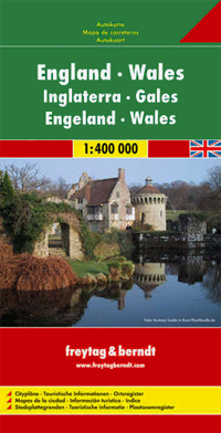
- Wegenkaart - landkaart Engeland - Wales | Freytag & Berndt
- England Wales 1 : 400 000. Autokarte ab 10.9 EURO Citypläne. Ortsregister mit Postleitzahlen. Touristische Informationen Freytag & Berndt Autokarte Freytag & Berndt Freizeitkarte. Nachdruck der Neuauflage, Laufzeit bis 2017 Read more
De Zwerver
Netherlands
Netherlands
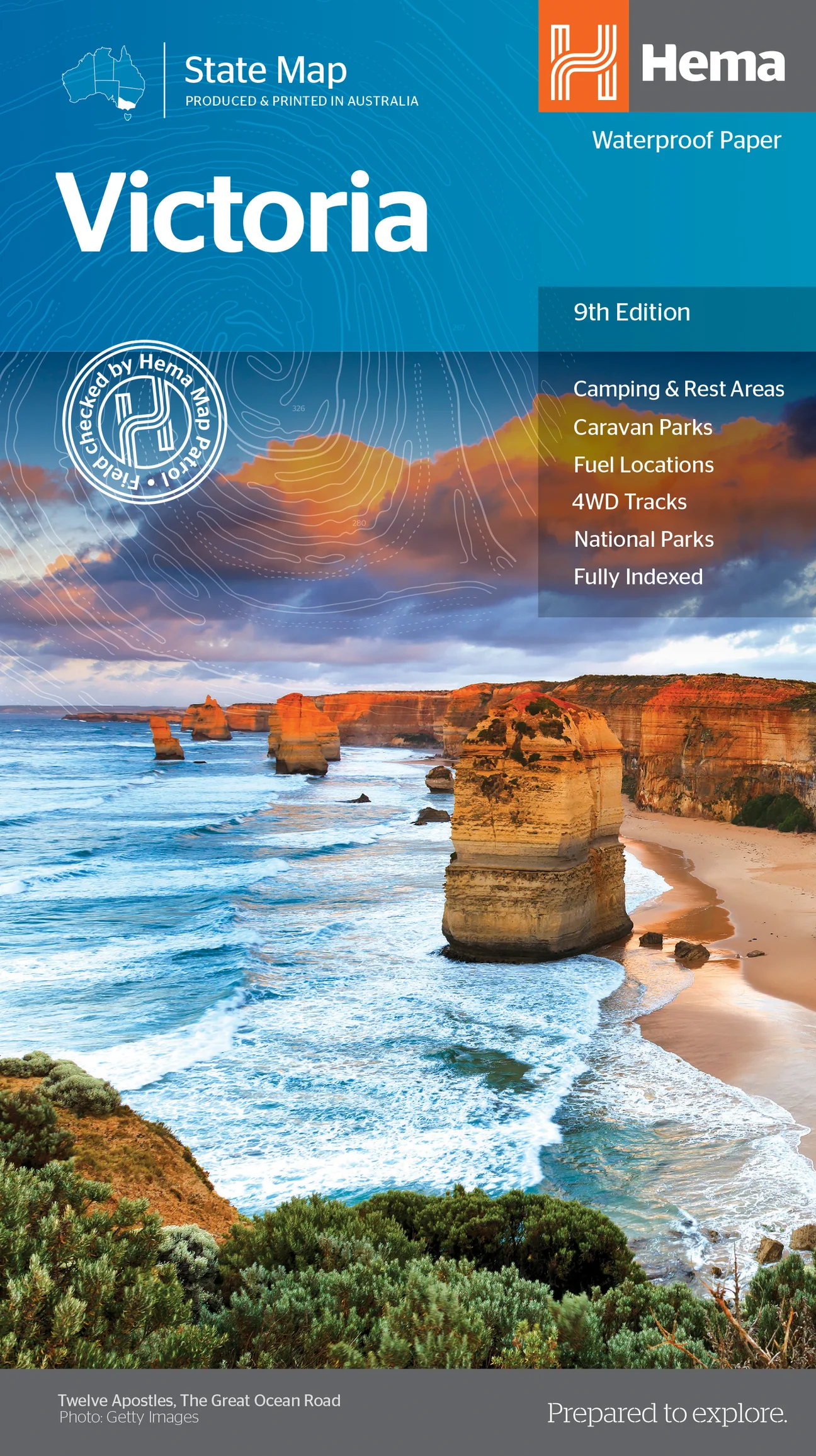
- Wegenkaart - landkaart Victoria state map | Hema Maps
- Victoria State National Park 1 : 850 000 ab 12.49 EURO 9th edition Read more
De Zwerver
Netherlands
Netherlands
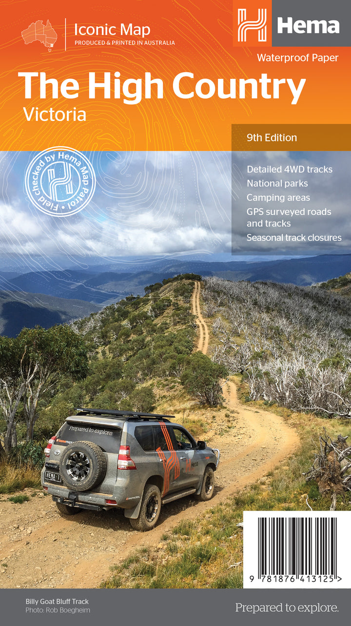
- Wegenkaart - landkaart Iconic Map The High Country | Hema Maps
- High Country Victoria 1:200 000 ab 14.99 EURO Hema Maps. 9. Auflage Read more