
Fife Coastal Path
Beschreibung
- Name Fife Coastal Path
- Länge von Wanderweg 188 km, 117 Meilen
- Länge in Tagen 9 Tage
- Anfang von Wanderweg Tay Bridge
- Ende von Wanderweg Forth Bridge
- Traildino Schwierigkeit EW, Leichte Wanderung, Naturwanderweg
Tay Bridge (Newport on Tay) - Forth Bridge (North Queensferry), 150 km, 8 days
The Kingdom of Fife stretches as a semi-island between two estuaries: the Forth Estuary in the south, and the Tay Estuary in the north. Enjoy its genuine Scottish atmosphere combined with the rich bird life, flowers and sea mammals. The trail is part of the North Sea Trail.
Links
Fakten
Berichte
Führer und Karten
Übernachtung
Organisationen
Reisebüros
GPS
Sonstiges
Bücher

- Also available from:
- De Zwerver, Netherlands

- Also available from:
- De Zwerver, Netherlands
De Zwerver
Netherlands
2021
Netherlands
2021
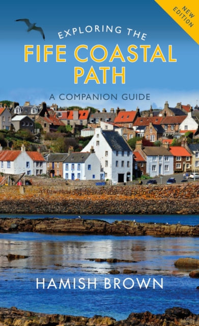
- Wandelgids Exploring the Fife Coastal Path | Birlinn
- A Companion Guide Read more
Bol.com
Netherlands
Netherlands
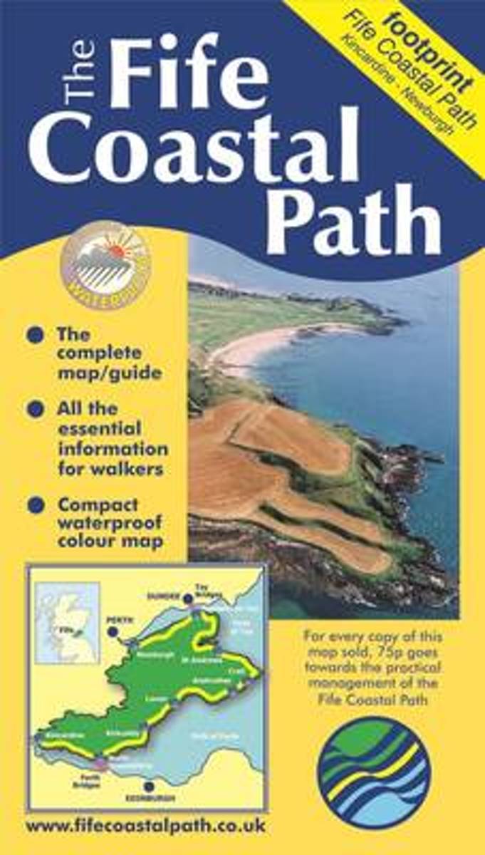
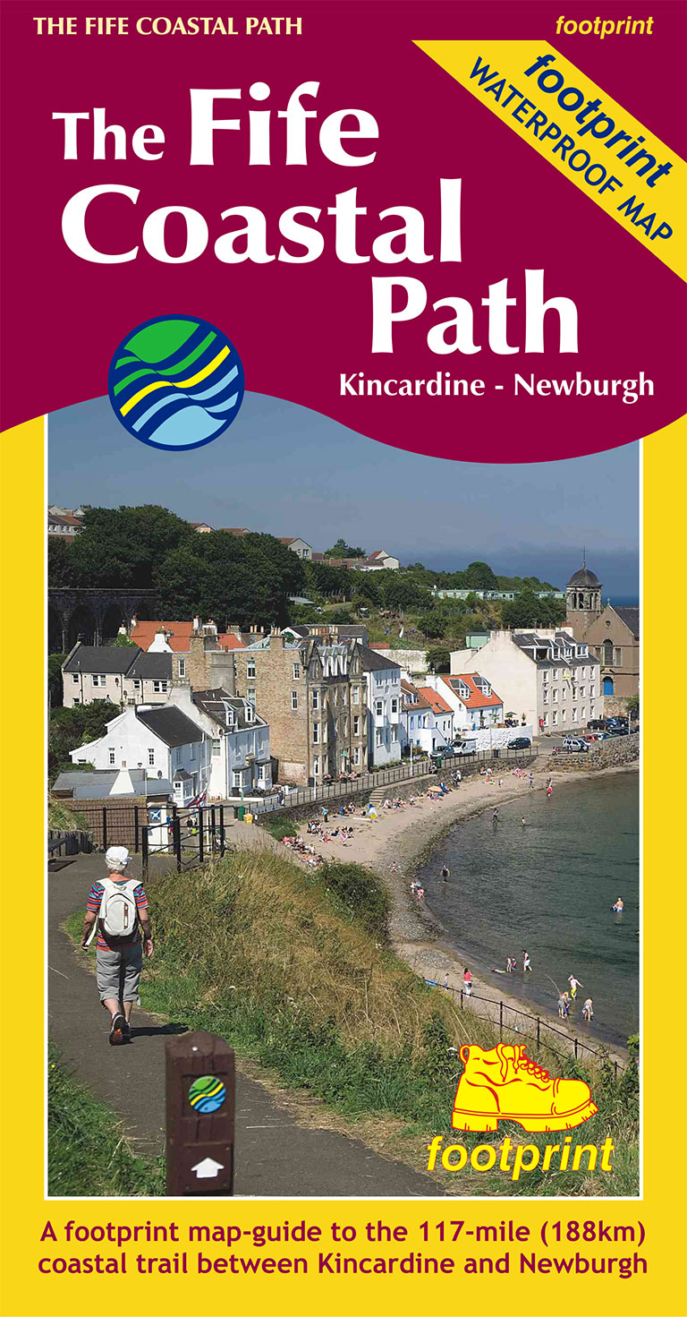
- Fife Coastal Path
- This is the 2nd edition of The Footprint map to The Fife Coastal Path , including the new route extensions to Kincardine and Newburgh. A waterproof and durable strip map, specially created for the route with compact and concise information for walkers. Read more
- Also available from:
- Bol.com, Belgium
Bol.com
Belgium
Belgium
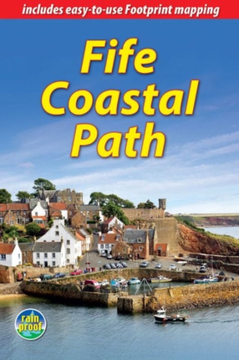
- Fife Coastal Path
- This is the 2nd edition of The Footprint map to The Fife Coastal Path , including the new route extensions to Kincardine and Newburgh. A waterproof and durable strip map, specially created for the route with compact and concise information for walkers. Read more
Bol.com
Netherlands
Netherlands
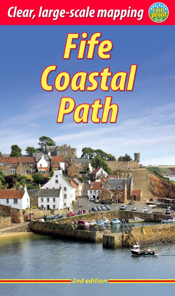
- Fife Coastal Path
- The Fife Coastal Path runs around the coastline of eastern Scotland for 117 miles (187 km) from Kincardine on the Forth to Newburgh on the Tay. Starting west of the magnificent Forth bridges, the route heads through former mining towns towards the villages of Fife's East Neuk (corner), with their rich tradition of smuggling and fishing. After... Read more
- Also available from:
- Bol.com, Belgium
Bol.com
Belgium
Belgium
- Fife Coastal Path
- The Fife Coastal Path runs around the coastline of eastern Scotland for 117 miles (187 km) from Kincardine on the Forth to Newburgh on the Tay. Starting west of the magnificent Forth bridges, the route heads through former mining towns towards the villages of Fife's East Neuk (corner), with their rich tradition of smuggling and fishing. After... Read more
Karten

The Book Depository
United Kingdom
2019
United Kingdom
2019
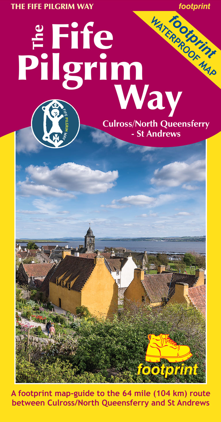
- The Fife Pilgrim Way
- Culross/North Queensferry - St Andrews Read more
- Also available from:
- De Zwerver, Netherlands
- Stanfords, United Kingdom
De Zwerver
Netherlands
2019
Netherlands
2019
- Wandelkaart The Fife Pilgrim Way | Footprint maps
- A handy, waterproof map breaking down the Fife Pilgrim Way into seven sections. The Fife Pilgrim Way runs between North Queensferry or Culross and St Andrews. It is designed as a varied route for residents and visitors alike, and it is possible to walk the entire signposted path or explore particular sections using the map. The route follows... Read more

Stanfords
United Kingdom
2019
United Kingdom
2019
- The Fife Pilgrim Way - Culross/North Queensferry to St Andrews
- A handy, waterproof map breaking down the Fife Pilgrim Way into seven sections. The Fife Pilgrim Way runs between North Queensferry or Culross and St Andrews. It is designed as a varied route for residents and visitors alike, and it is possible to walk the entire signposted path or explore particular sections using the map. The route follows... Read more
De Zwerver
Netherlands
2019
Netherlands
2019
- Wandelkaart The Fife Coastal Path | Footprint maps
- High quality, specially created strip map of this unique 117 mile coastal path from the Kincardine Bridge to Newburgh on the Firth of Tay.This new edition contains maps of the whole route, at 1:40,000 and based on OS data. Compact and concise, the map is printed on waterproof paper and is supplied in a durable slipcase.For every copy of this... Read more
- Also available from:
- Stanfords, United Kingdom

Stanfords
United Kingdom
2019
United Kingdom
2019
- The Fife Coastal Path - Kincardine to Newburgh
- High quality, specially created strip map of this unique 117 mile coastal path from the Kincardine Bridge to Newburgh on the Firth of Tay.This new edition contains maps of the whole route, at 1:40,000 and based on OS data. Compact and concise, the map is printed on waterproof paper and is supplied in a durable slipcase.For every copy of this... Read more