
San Isabel National Forest
Beschreibung
Wanderwege Region
Links
Fakten
Berichte
Führer und Karten
Übernachtung
Organisationen
Reisebüros
GPS
Sonstiges
Bücher


The Book Depository
United Kingdom
United Kingdom
- Colorado Trail [map Pack Bundle]
- Topographic Map Guides; Trails Illustrated Maps Read more


The Book Depository
United Kingdom
United Kingdom
- Uphill Both Ways
- Hiking toward Happiness on the Colorado Trail Read more

The Book Depository
United Kingdom
United Kingdom
- What We Owe to Ourselves
- a 500-mile hike on the Colorado Trail Read more

Stanfords
United Kingdom
United Kingdom
- Waldviertel North - Gmund - Heidenreichstein - Waidhofen & Raabs a.d.T. - Trebon F&B WK075
- Waldviertel North - Gmünd - Heidenreichstein - Waidhofen a.d.T. - Raabs a.d.T. – Trebon area of eastern Austria presented at 1:50,000 in a series of contoured and GPS compatible outdoor leisure map from Freytag & Berndt with hiking and cycling routes, mountain huts, campsites and youth hostels, local bus stops, plus other tourist information.To... Read more

- Also available from:
- Bol.com, Netherlands
- Bol.com, Belgium
Bol.com
Netherlands
Netherlands
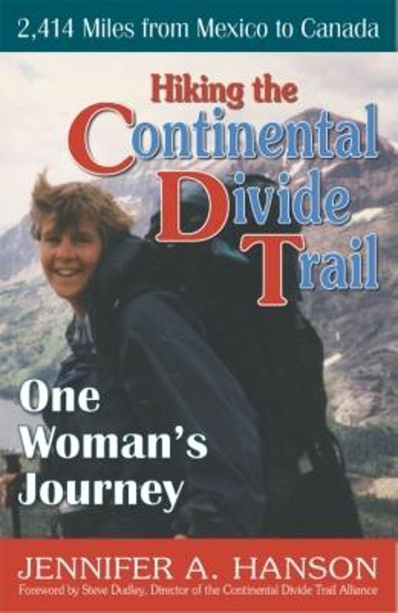
- Hiking the Continental Divide Trail
- An avid outsoorswoman, Jennifer Hanson with her husband set off to thru-hike the 2,400-mile Continental Divide Trail. Together they traversed the arid ranchlands of New Mexico, the snow-capped mountains of Colorado, the Red Desert of Wyoming, and Glacier National Park of Montana. Due to an injury, her husband left the trail and Jennifer... Read more
Bol.com
Belgium
Belgium
- Hiking the Continental Divide Trail
- An avid outsoorswoman, Jennifer Hanson with her husband set off to thru-hike the 2,400-mile Continental Divide Trail. Together they traversed the arid ranchlands of New Mexico, the snow-capped mountains of Colorado, the Red Desert of Wyoming, and Glacier National Park of Montana. Due to an injury, her husband left the trail and Jennifer... Read more
Bol.com
Netherlands
Netherlands
- Continental Divide Trail [In Gift Box]
- National Geographic's map of the Continental Divide Trail is ideal for fans and hikers of this magnificent National Scenic Trail. It makes a great planning tool or as reference to track progress on the 3,100 plus mile length. This beautiful map shows the entire length of the trail from Mexico to Canada through New Mexico, Colorado, Wyoming,... Read more
- Also available from:
- Bol.com, Belgium
Bol.com
Belgium
Belgium
- Continental Divide Trail [In Gift Box]
- National Geographic's map of the Continental Divide Trail is ideal for fans and hikers of this magnificent National Scenic Trail. It makes a great planning tool or as reference to track progress on the 3,100 plus mile length. This beautiful map shows the entire length of the trail from Mexico to Canada through New Mexico, Colorado, Wyoming,... Read more

- Also available from:
- Stanfords, United Kingdom
- Bol.com, Netherlands
- Bol.com, Belgium

Stanfords
United Kingdom
United Kingdom
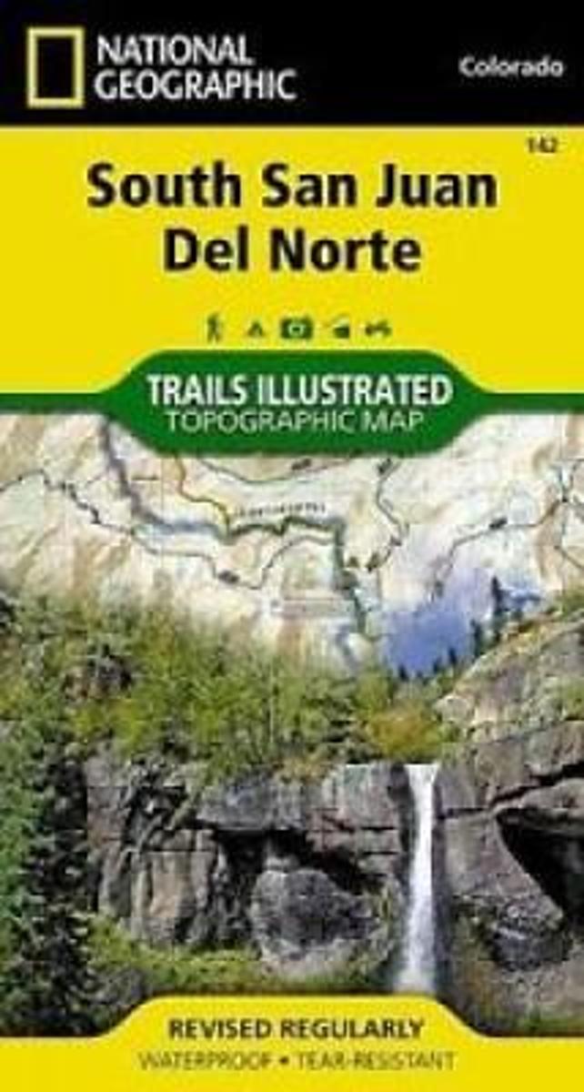
- South San Juan - Del Norte CO
- Map No. 142, South San Juan - Del Norte, CO, in an extensive series of GPS compatible, contoured hiking maps of USA’s national and state parks or forests and other popular recreational areas. Cartography based on the national topographic survey, with additional tourist information.The maps, with most titles now printed on light, waterproof and... Read more
Bol.com
Netherlands
Netherlands
- South San Juan/del Norte
- Waterproof Tear-Resistant Topographic MapCoverage includes Rio Grande and San Juan national forests; South San Juan Wilderness; Dipping Lakes and Spiler Lakes; Lost Lake; Platoro and Fuchs Reservoirs; South Fork and Conejos rivers; the cities of Del Norte, South Fork, Wagon Wheel Gap, Summitville, Jasper, Cumbres, Platoro; and the... Read more
Bol.com
Belgium
Belgium
- South San Juan/del Norte
- Waterproof Tear-Resistant Topographic MapCoverage includes Rio Grande and San Juan national forests; South San Juan Wilderness; Dipping Lakes and Spiler Lakes; Lost Lake; Platoro and Fuchs Reservoirs; South Fork and Conejos rivers; the cities of Del Norte, South Fork, Wagon Wheel Gap, Summitville, Jasper, Cumbres, Platoro; and the... Read more
Bol.com
Netherlands
Netherlands
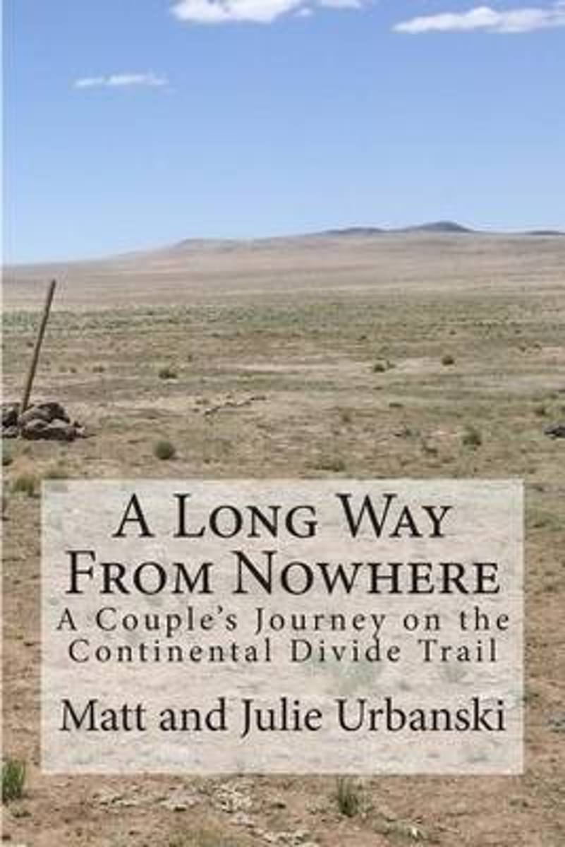
- A Long Way from Nowhere
- What is it like to hike the length of the Continental Divide Trail? For Matt and Julie, also known as Optimist and Stopwatch, life on the trail meant twenty-seven days without seeing another hiker, six bears encountered within fifteen hours, two sets of maps, a GPS, and a compass to find the trail, and both wildfires and massive flooding to add... Read more
- Also available from:
- Bol.com, Belgium
Bol.com
Belgium
Belgium
- A Long Way from Nowhere
- What is it like to hike the length of the Continental Divide Trail? For Matt and Julie, also known as Optimist and Stopwatch, life on the trail meant twenty-seven days without seeing another hiker, six bears encountered within fifteen hours, two sets of maps, a GPS, and a compass to find the trail, and both wildfires and massive flooding to add... Read more

Bol.com
Netherlands
Netherlands
- Day Hikes on the Colorado Trail
- A hike for everyone! Enjoy parts or all of the 469-mile trail through 7 national forests, 6 wilderness areas, 5 major river systems, and 8 mountain ranges. It runs from outside of Denver to Durango in south-western Colorado. Read more
- Also available from:
- Bol.com, Belgium
Bol.com
Belgium
Belgium
- Day Hikes on the Colorado Trail
- A hike for everyone! Enjoy parts or all of the 469-mile trail through 7 national forests, 6 wilderness areas, 5 major river systems, and 8 mountain ranges. It runs from outside of Denver to Durango in south-western Colorado. Read more
Bol.com
Netherlands
Netherlands
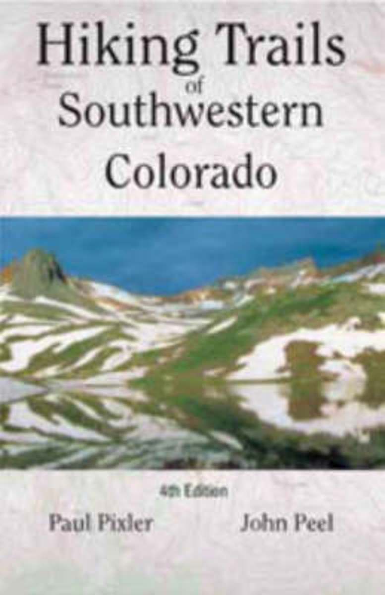
- Hiking Trails of Southwestern Colorado
- The first and second editions of this authoritative guide to Colorado's hiking paradise has been a best-seller among seasoned and beginning hikers for years.This completely revised third edition includes: seventy trips of varying length with corresponding maps, directions to conquer six of Colorado's fourteeners, and sixteen new maps providing... Read more
- Also available from:
- Bol.com, Belgium
Bol.com
Belgium
Belgium
- Hiking Trails of Southwestern Colorado
- The first and second editions of this authoritative guide to Colorado's hiking paradise has been a best-seller among seasoned and beginning hikers for years.This completely revised third edition includes: seventy trips of varying length with corresponding maps, directions to conquer six of Colorado's fourteeners, and sixteen new maps providing... Read more
Karten
De Zwerver
Netherlands
2024
Netherlands
2024
De Zwerver
Netherlands
2024
Netherlands
2024
De Zwerver
Netherlands
2024
Netherlands
2024
De Zwerver
Netherlands
2024
Netherlands
2024
De Zwerver
Netherlands
2024
Netherlands
2024

De Zwerver
Netherlands
2024
Netherlands
2024
De Zwerver
Netherlands
2023
Netherlands
2023
De Zwerver
Netherlands
2024
Netherlands
2024
De Zwerver
Netherlands
2024
Netherlands
2024

Stanfords
United Kingdom
United Kingdom
- Manresa - Pla de Bages
- Topographic survey of Catalonia at 1:25,000 from the Institut Cartogràfic i Geològic de Catalunya, an attractive alternative to Spain’s national topographic survey at this scale, offering a much larger area per sheet with extensive tourist information and vivid presentation of vegetation and land use.These large, detailed maps have contours at... Read more

Stanfords
United Kingdom
United Kingdom
- Falset
- Topographic survey of Catalonia at 1:25,000 from the Institut Cartogràfic i Geològic de Catalunya, an attractive alternative to Spain’s national topographic survey at this scale, offering a much larger area per sheet with extensive tourist information and vivid presentation of vegetation and land use.These large, detailed maps have contours at... Read more
Stanfords
United Kingdom
United Kingdom
- Vall de Núria – Ulldeter
- Topographic survey of Catalonia at 1:25,000 from the Institut Cartogràfic i Geològic de Catalunya, an attractive alternative to Spain’s national topographic survey at this scale, offering a much larger area per sheet with extensive tourist information and vivid presentation of vegetation and land use.These large, detailed maps have contours at... Read more
Stanfords
United Kingdom
United Kingdom
- Olot - Garrotxa NP Volcanic Zone
- Topographic survey of Catalonia at 1:25,000 from the Institut Cartogràfic i Geològic de Catalunya, an attractive alternative to Spain’s national topographic survey at this scale, offering a much larger area per sheet with extensive tourist information and vivid presentation of vegetation and land use.These large, detailed maps have contours at... Read more
Stanfords
United Kingdom
United Kingdom
- Cadí-Moixeró Natural Park East: el Moixeró - Túnel del Cadí
- Topographic survey of Catalonia at 1:25,000 from the Institut Cartogràfic i Geològic de Catalunya, an attractive alternative to Spain’s national topographic survey at this scale, offering a much larger area per sheet with extensive tourist information and vivid presentation of vegetation and land use.These large, detailed maps have contours at... Read more

Stanfords
United Kingdom
United Kingdom
- Figueres - Aiguamolls dels Empordà Natural Park
- Topographic survey of Catalonia at 1:25,000 from the Institut Cartogràfic i Geològic de Catalunya, an attractive alternative to Spain’s national topographic survey at this scale, offering a much larger area per sheet with extensive tourist information and vivid presentation of vegetation and land use.These large, detailed maps have contours at... Read more