
Bay Area Ridge Trail
Beschreibung
- Name Bay Area Ridge Trail
- Länge von Wanderweg 515 km, 320 Meilen
- Länge in Tagen 28 Tage
- Traildino Schwierigkeit MW, Mittelschwere Wanderung mit Rucksack
- Schwierigkeitsgrad Berg- und Alpinwanderung T1, Wandern
 The Bay Area Ridge Trail currently offers 330 miles (531 km) of hiking, biking and riding around the San Francisco Bay Area, California. The goal is set to 550+ miles, 885 km. You will enjoy hills, mountains and the ocean.
Karte


Links
Fakten
Berichte
Führer und Karten
Übernachtung
Organisationen
Reisebüros
GPS
Sonstiges
Bücher

The Book Depository
United Kingdom
United Kingdom
- Bay Area Ridge Trail
- The Official Guide for Hikers, Mountain Bikers, and Equestrians Read more

The Book Depository
United Kingdom
United Kingdom
- Mount Tamalpais/pt. Reyes
- Trails Illustrated Other Rec. Areas Read more
- Also available from:
- Stanfords, United Kingdom
- Bol.com, Netherlands
- Bol.com, Belgium

Stanfords
United Kingdom
United Kingdom
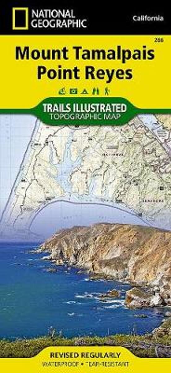
- Mount Tamalpais and Point Reyes CA
- Map No. 266, Mount Tamalpais and Point Reyes, CA, in an extensive series of GPS compatible, contoured hiking maps of USA’s national and state parks or forests and other popular recreational areas. Cartography based on the national topographic survey, with additional tourist information.The maps, with most titles now printed on light, waterproof... Read more
Bol.com
Netherlands
Netherlands
- Mount Tamalpais/pt. Reyes
- Waterproof Tear-Resistant Topographic MapNational Geographic's Trails Illustrated map of Mount Tamalpais and Point Reyes is a two-sided, waterproof map designed to meet the needs of outdoor enthusiasts with unmatched durability and detail. This map was created in conjunction with local land management agencies and is loaded with valuable... Read more
Bol.com
Belgium
Belgium
- Mount Tamalpais/pt. Reyes
- Waterproof Tear-Resistant Topographic MapNational Geographic's Trails Illustrated map of Mount Tamalpais and Point Reyes is a two-sided, waterproof map designed to meet the needs of outdoor enthusiasts with unmatched durability and detail. This map was created in conjunction with local land management agencies and is loaded with valuable... Read more
Bol.com
Netherlands
Netherlands
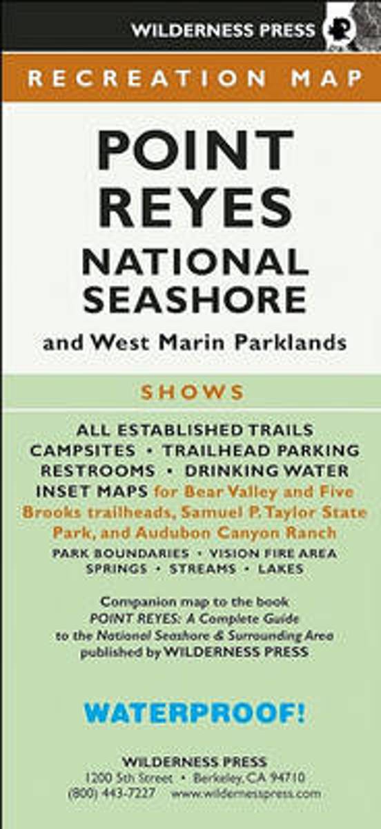
- MAP Point Reyes National Seashore
- Find your way around Point Reyes National Seashore and vicinity with this topographic map showing every major road, trailhead, and trail in the park. This 4-color map shows all established campgrounds, picnic and parking areas, restrooms, telephones, and visitor centers. Also covers Samuel P. Taylor State Park, Audubon Canyon Ranch, Tomales Bay... Read more
- Also available from:
- Bol.com, Belgium
Bol.com
Belgium
Belgium
- MAP Point Reyes National Seashore
- Find your way around Point Reyes National Seashore and vicinity with this topographic map showing every major road, trailhead, and trail in the park. This 4-color map shows all established campgrounds, picnic and parking areas, restrooms, telephones, and visitor centers. Also covers Samuel P. Taylor State Park, Audubon Canyon Ranch, Tomales Bay... Read more