
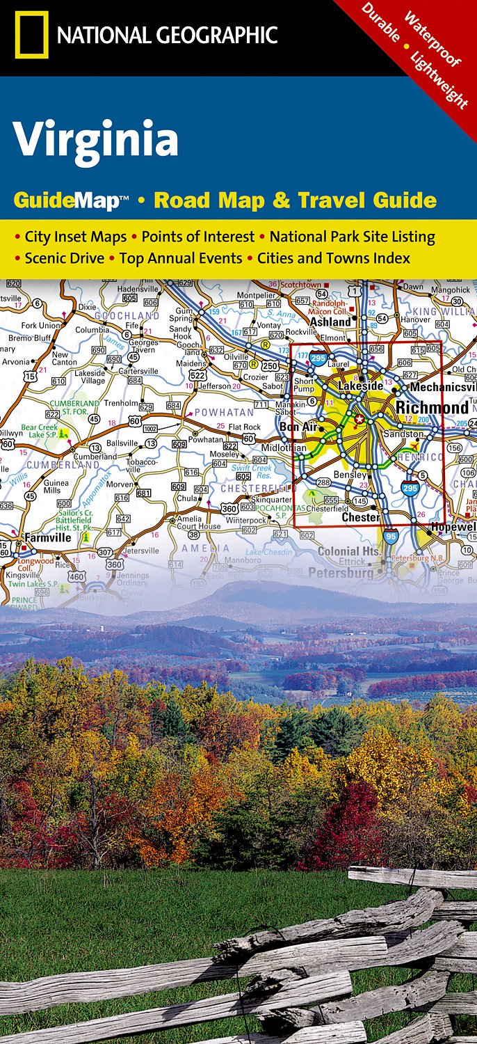
Virginia
Beschreibung
Virginia, on the Atlantic Ocean, hosts a large part of the Appalachian Trail, some 550 miles.
Other lengthy long distance trails passing through Virginia are the East Coast Greenway, the Eastern Continental Trail and the Great Eastern Trail.
The Tuscarora Trail is 252 miles long, and besides Virginia, it runs across Maryland, Pennsylvania and West Virginia. Also with West Virginia, it shares the Allegheny Trail, 330 miles.
Parks of interest for hiking are the Shenandoah National Park and Jefferson National Forest, both in the Blue Ridge Mountains, and the Washington National Forest.
Karte

Wanderwege Landesteil
Links
Fakten
Berichte
Führer und Karten
Übernachtung
Organisationen
Reisebüros
GPS
Sonstiges
Bücher

The Book Depository
United Kingdom
United Kingdom
- Minnesota State Parks
- How to Get There, What to Do, Where to Do It Read more

The Book Depository
United Kingdom
2022
United Kingdom
2022
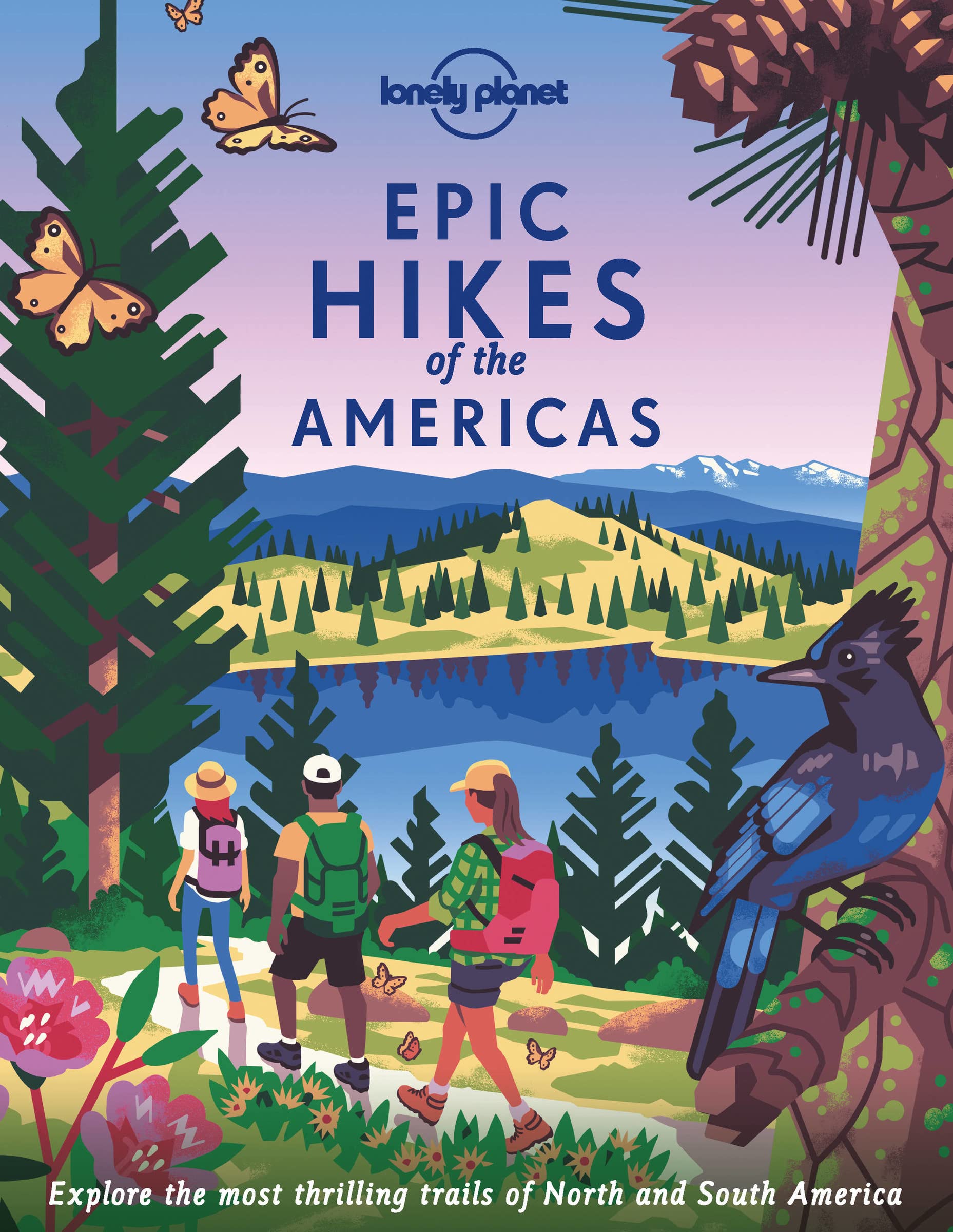
- Lonely Planet Epic Hikes of the Americas
- Lace up your hiking boots for the next in Lonely Planet`s highly successful Epic Hikes series, this time exploring 50 of the Americas` most rewarding treks and trails. From Canada`s longest hut-to-hut hike, the Sunshine Coast Trail, to a descent through Havasu Canyon in the USA, and the Santa Cruz Trail of northern Peru, we cover a huge variety... Read more
- Also available from:
- De Zwerver, Netherlands
- Stanfords, United Kingdom
De Zwerver
Netherlands
2022
Netherlands
2022
- Wandelgids Epic Hikes of the Americas | Lonely Planet
- Lace up your hiking boots for the next in Lonely Planet`s highly successful Epic Hikes series, this time exploring 50 of the Americas` most rewarding treks and trails. From Canada`s longest hut-to-hut hike, the Sunshine Coast Trail, to a descent through Havasu Canyon in the USA, and the Santa Cruz Trail of northern Peru, we cover a huge variety... Read more

Stanfords
United Kingdom
2022
United Kingdom
2022
- Epic Hikes of the Americas
- Lace up your hiking boots for the next in Lonely Planet`s highly successful Epic Hikes series, this time exploring 50 of the Americas` most rewarding treks and trails. From Canada`s longest hut-to-hut hike, the Sunshine Coast Trail, to a descent through Havasu Canyon in the USA, and the Santa Cruz Trail of northern Peru, we cover a huge variety... Read more

The Book Depository
United Kingdom
2019
United Kingdom
2019
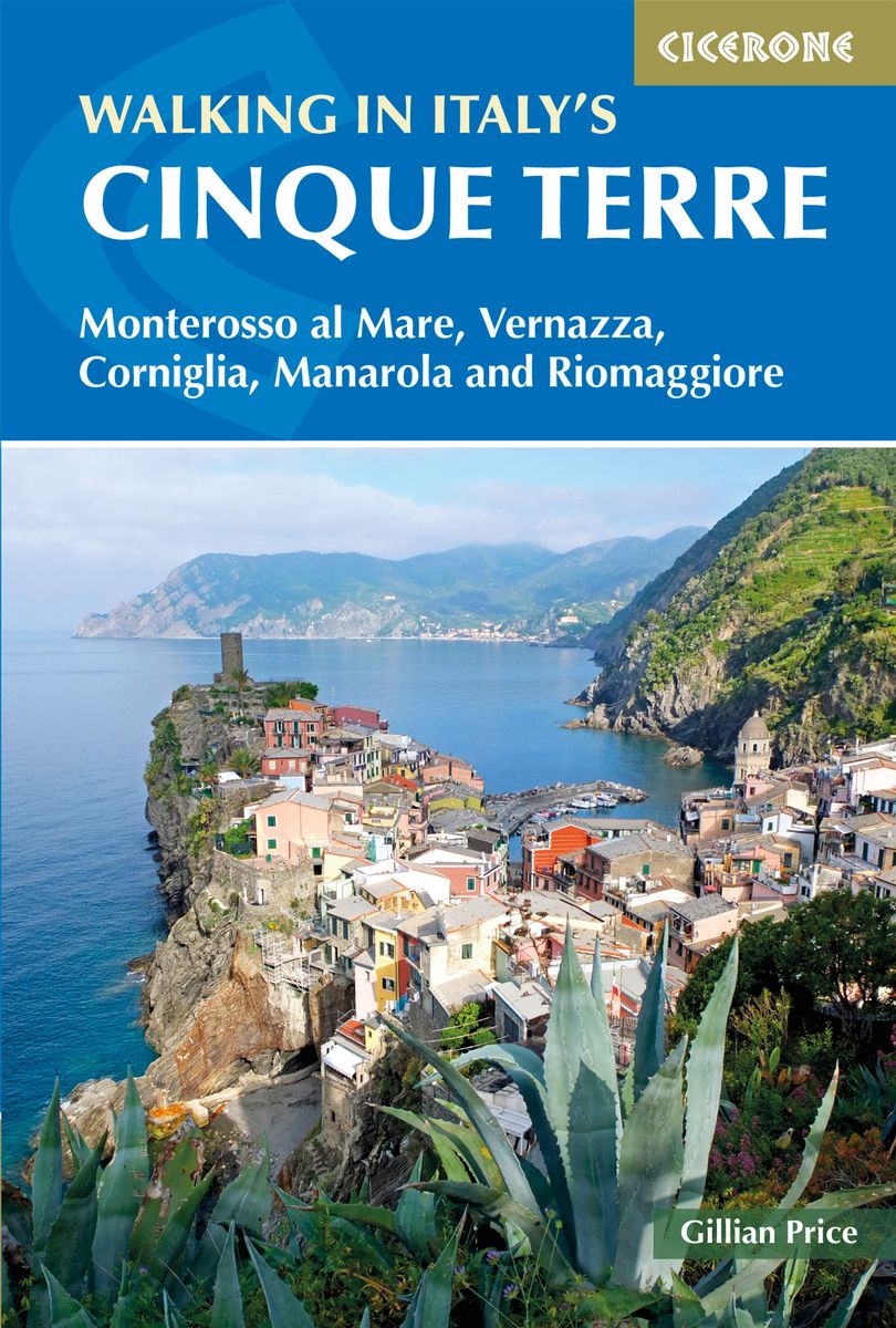
- Walking in Italy's Cinque Terre
- Monterosso al Mare, Vernazza, Corniglia, Manarola and Riomaggiore Read more
- Also available from:
- De Zwerver, Netherlands
- Stanfords, United Kingdom
De Zwerver
Netherlands
2019
Netherlands
2019
- Wandelgids Walking in Italy's Cinque Terre | Cicerone
- Guidebook to walking Italy's stunning Cinque Terre. Describes 16 routes in and around the five famous fishing villages of Monterosso, Vernazza, Corniglia, Manarola and Riomaggiore. Breathtakingly beautiful, this UNESCO World Heritage coastline is a walker's (and foodie's) dream destination. Read more

Stanfords
United Kingdom
2019
United Kingdom
2019
- Walking in Italy`s Cinque Terre: Monterosso al Mare, Vernazza, Corniglia, Manarola and Riomaggiore
- This guidebook presents 16 graded walks exploring the world-famous Cinque Terre villages of Liguria in Italy. Suitable for beginners and experienced walkers, routes take in the villages of Monterosso, Vernazza, Manarola, Corniglia, Riomaggiore, as well as neighbouring Levanto, Campiglia and Porto Venere. It describes the most popular pathways... Read more

The Book Depository
United Kingdom
United Kingdom
- Five-Star Trails: Tri-Cities of Tennessee & Virginia
- 40 Spectacular Hikes near Johnson City, Kingsport, and Bristol Read more

The Book Depository
United Kingdom
United Kingdom
- Hiking the Carolina Mountains
- Appalachian Trail, Blue Ridge Parkway, DuPont State Forest, Great Smoky Mountains National Park, Pisgah & Nantahala National Forests, Upstate South Carolina and Much More Read more


The Book Depository
United Kingdom
United Kingdom
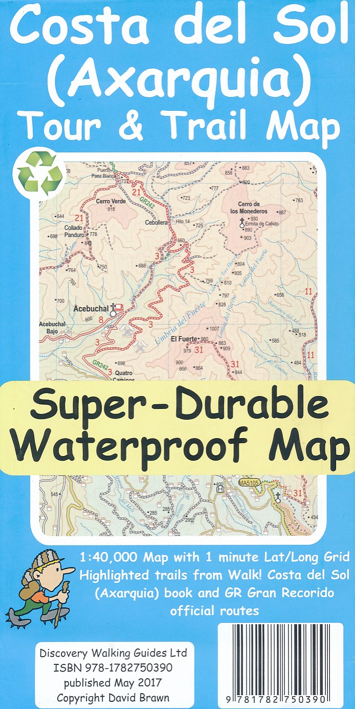
- Costa del Sol (Axarquia) Tour and Trail Map
- Costa del Sol (Axarquia) Tour & Trail Super-Durable Map comes with a 2 year adventurous use wear and tear guarantee against splitting or falling apart, see Discovery Walking Guides website for details. Our large 1:40,000 scale, combined with splitting the region into West and East sections with a generous overlap, produces double sided map... Read more
- Also available from:
- De Zwerver, Netherlands
De Zwerver
Netherlands
Netherlands
- Wandelkaart Tour & Trail Costa de Sol - Axarquia | Discovery Walking Guides
- Costa del Sol (Axarquia) Tour & Trail Super-Durable Map comes with a 2 year adventurous use wear and tear guarantee against splitting or falling apart, see Discovery Walking Guides website for details. Our large 1:40,000 scale, combined with splitting the region into West and East sections with a generous overlap, produces double sided map... Read more

The Book Depository
United Kingdom
United Kingdom
- Thinking on My Feet
- The small joy of putting one foot in front of another Read more
- Also available from:
- Stanfords, United Kingdom

Stanfords
United Kingdom
United Kingdom
- Thinking on My Feet: The small joy of putting one foot in front of another
- Shortlisted for the 2019 Edward Stanford Travel Writing Award`s Travel Memoir of the Year`A beautiful and magnificent book. A paean to a simple act. I defy you to read this book and not be inspired to walk, march or hike - and as a result live a better life more connected with nature and the world around you.` - Simon Reeve`A lovely book,... Read more


The Book Depository
United Kingdom
United Kingdom
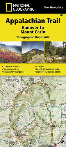
- Appalachian Trail, Hanover To Mount Carlo, New Hampshire
- Trails Illustrated Read more
- Also available from:
- De Zwerver, Netherlands


The Book Depository
United Kingdom
2020
United Kingdom
2020
- Walking in the Salzkammergut: the Austrian Lake District
- 30 walks in Salzburg's lakes and mountains, including the Dachstein Read more
- Also available from:
- De Zwerver, Netherlands
- Stanfords, United Kingdom

De Zwerver
Netherlands
2020
Netherlands
2020

Stanfords
United Kingdom
2020
United Kingdom
2020
- Walking in the Salzkammergut: the Austrian Lake District: 30 walks in Salzburg`s lakes and mountains, including the Dachstein
- Guidebook of 30 stunning day walks in the beautiful Salzkammergut lake district of Austria. Easy to get to from Linz and Salzburg, the area is studded with lakes and bristling with mountain peaks, and has a great range of waymarked trails, from lakeside strolls to challenging mountain walks. The routes in this book are within the capabilities... Read more

- Also available from:
- De Zwerver, Netherlands
- Stanfords, United Kingdom
De Zwerver
Netherlands
2019
Netherlands
2019
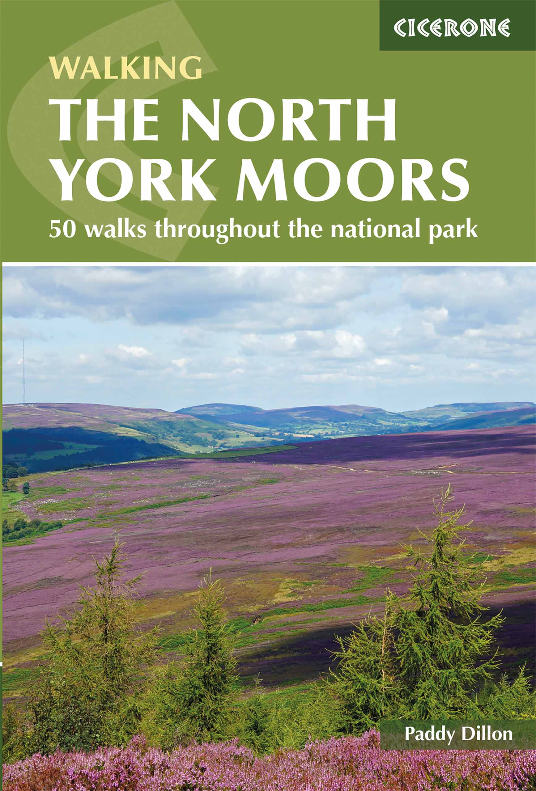
- Wandelgids The North York Moors | Cicerone
- Guidebook describing 50 varied walks in England's beautiful North York Moors National Park. Showcasing the region's sweeping moorlands, sheltered valleys, woodlands and cliff coasts, routes range from short and easy low-level walks to long and strenuous routes across the high moors, including the Lyke Wake Walk. Read more

Stanfords
United Kingdom
2019
United Kingdom
2019
- The North York Moors: 50 walks in the National Park
- Guidebook to 50 walks in the North York Moors National Park. The walks, which range from 4 to 13 miles, are distributed through seven regions within the park, enabling walkers to discover and appreciate the Tabular Hills, Hambleton Hills, Cleveland Hills, Northern Moors, High Moors, Eastern Moors and Cleveland Coast. For those who like a... Read more

The Book Depository
United Kingdom
United Kingdom
- Five Million Steps
- Faith Adventures along the Appalachian Trail Read more

- Also available from:
- De Zwerver, Netherlands
- Stanfords, United Kingdom


Stanfords
United Kingdom
2018
United Kingdom
2018
- Florence Walks
- Explore Florence on foot with these wonderful and insightful routes. Plan your time with the unique bird`s-eye view illustrations that capture the spirit of this amazing city. Following these walks is like being shown around the city by an exceptionally knowledgeable friend. They`re fun and they`ll help you fit it all together. And you`ll... Read more
Karten

- Also available from:
- De Zwerver, Netherlands
- Stanfords, United Kingdom


Stanfords
United Kingdom
United Kingdom
- Glocknergruppe - Matrei - Kals - Heiligenblut Tabacco 076
- This Tabacco topographic map at 1:25,000 (1cm = 250m) covers the Alta Via routes, as well as the Via Ferrata where you get further than the ordinary walker with the help of steel ladders. Additional information includes: symbols to indicate 6 different types of accommodation from mountain hut, hotel to camping site. As well as information on... Read more

The Book Depository
United Kingdom
2018
United Kingdom
2018
- Ben Nevis and Glen Coe
- Waterproof mountain map of Ben Nevis & Glen Coe from Harvey at 1:40,000, with a geological map of the region on the reverse, an enlargement of Ben Nevis' summit, and advice on navigating the region safely.MAIN MAP: Topography is shown through clear altitude shading, spot heights, contours at 15m intervals, and index contours at 75m intervals. A... Read more
- Also available from:
- De Zwerver, Netherlands
- Stanfords, United Kingdom

De Zwerver
Netherlands
2018
Netherlands
2018
- Wandelkaart Ben Nevis & Glen Coe | Harvey Maps
- Waterproof mountain map of Ben Nevis & Glen Coe from Harvey at 1:40,000, with a geological map of the region on the reverse, an enlargement of Ben Nevis' summit, and advice on navigating the region safely.MAIN MAP: Topography is shown through clear altitude shading, spot heights, contours at 15m intervals, and index contours at 75m intervals. A... Read more

Stanfords
United Kingdom
2018
United Kingdom
2018
- Ben Nevis & Glen Coe Harvey British Mountain Map XT40
- Waterproof mountain map of Ben Nevis & Glen Coe from Harvey at 1:40,000, with a geological map of the region on the reverse, an enlargement of Ben Nevis` summit, and advice on navigating the region safely.*MAIN MAP:* Topography is shown through clear altitude shading, spot heights, contours at 15m intervals, and index contours at 75m intervals.... Read more

De Zwerver
Netherlands
2019
Netherlands
2019
- Reisgids Iceland Road Guide | Vegahandbokin
- Iceland Road Guide from Vegahandbókin, an exceptionally comprehensive, 605-page guide with region-by-region descriptions of sites accompanied by road maps and street plans, plus a separate road atlas section covering the whole country at 1:500,000 and information on a wide variety of tourism relating topics to help the user get the best of... Read more
- Also available from:
- Stanfords, United Kingdom

Stanfords
United Kingdom
2019
United Kingdom
2019
- Iceland Road Guide
- Iceland Road Guide from Vegahandbókin, an exceptionally comprehensive, 605-page guide with region-by-region descriptions of sites accompanied by road maps and street plans, plus a separate road atlas section covering the whole country at 1:500,000 and information on a wide variety of tourism relating topics to help the user get the best of... Read more
De Zwerver
Netherlands
Netherlands
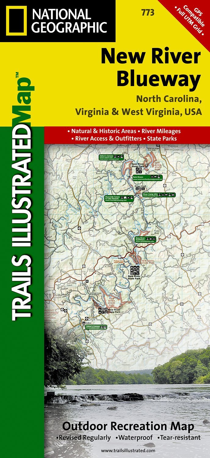
- Wandelkaart - Topografische kaart 773 New River Blueway | National Geographic
- Prachtige geplastificeerde kaart van het bekende nationaal park. Met alle recreatieve voorzieningen als campsites, maar ook met topografische details en wandelroutes ed. Door uitgekiend kleurgebruik zeer prettig in gebruik. Scheur en watervast! George Washington Nat. Forest, Jefferson Nat. Forest, New River Canoe Trail, Claytor Lake State Park,... Read more
- Also available from:
- Stanfords, United Kingdom

Stanfords
United Kingdom
United Kingdom
- New River Blueway NC/VA/WV
- Map No. 773, New River Blueway, NC/VA/WV, in an extensive series of GPS compatible, contoured hiking maps of USA’s national and state parks or forests and other popular recreational areas. Cartography based on the national topographic survey, with additional tourist information.The maps, with most titles now printed on light, waterproof and... Read more
De Zwerver
Netherlands
Netherlands
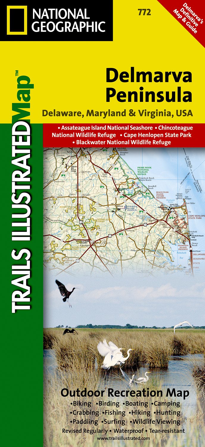
- Wandelkaart - Topografische kaart 772 Delmarva Peninsula | National Geographic
- Prachtige geplastificeerde kaart van het bekende nationaal park. Met alle recreatieve voorzieningen als campsites, maar ook met topografische details en wandelroutes ed. Door uitgekiend kleurgebruik zeer prettig in gebruik. Scheur en watervast! The new Delmarva Trails Illustrated regional topographic recreation map covers all major recreation... Read more
- Also available from:
- Stanfords, United Kingdom

Stanfords
United Kingdom
United Kingdom
- DelMarVa Peninsula - Delaware - Maryland - Virginia Recreational Map
- Map No. 772, DelMarVa Peninsula (Delaware, Maryland, Virginia) Recreational Map, in an extensive series of GPS compatible, contoured hiking maps of USA’s national and state parks or forests and other popular recreational areas. Cartography based on the national topographic survey, with additional tourist information.The maps, with most titles... Read more

Stanfords
United Kingdom
United Kingdom
- Martadi
- Martadi, sheet no. 2981-10, in the topographic survey of Nepal at 1:50,000 published by the Nepali Government in the late 1990s and early 2000s and produced from remote sensing data by Finnish cartographers as part of that country’s international aid program. The maps cover 15’ x 15’ quadrangles.IMPORTANT – PLEASE NOTE BEFORE ORDERING:... Read more
Stanfords
United Kingdom
United Kingdom
- Phugau Ghomion
- Phugau Ghomion, sheet no. 2884-02, in the topographic survey of Nepal at 1:50,000 published by the Nepali Government in the late 1990s and early 2000s and produced from remote sensing data by Finnish cartographers as part of that country’s international aid program. The maps cover 15’ x 15’ quadrangles.IMPORTANT – PLEASE NOTE BEFORE ORDERING:... Read more
Stanfords
United Kingdom
United Kingdom
- Muktinath
- Koban, sheet no. 2883-07, in the topographic survey of Nepal at 1:50,000 published by the Nepali Government in the late 1990s and early 2000s and produced from remote sensing data by Finnish cartographers as part of that country’s international aid program. The maps cover 15’ x 15’ quadrangles.IMPORTANT – PLEASE NOTE BEFORE ORDERING:... Read more
Stanfords
United Kingdom
United Kingdom
- Ghandruk
- Ghandruk, sheet no. 2883-12, in the topographic survey of Nepal at 1:50,000 published by the Nepali Government in the late 1990s and early 2000s and produced from remote sensing data by Finnish cartographers as part of that country’s international aid program. The maps cover 15’ x 15’ quadrangles.IMPORTANT – PLEASE NOTE BEFORE ORDERING:... Read more
Stanfords
United Kingdom
United Kingdom
- Apsuwa Khoka - Bala
- Apsuwa Khoka – Bala, sheet no. 2787-05, in the topographic survey of Nepal at 1:50,000 published by the Nepali Government in the late 1990s and early 2000s and produced from remote sensing data by Finnish cartographers as part of that country’s international aid program. The maps cover 15’ x 15’ quadrangles.IMPORTANT – PLEASE NOTE BEFORE... Read more
Stanfords
United Kingdom
United Kingdom
- Dho
- Dho, sheet no. 2983-13, in the topographic survey of Nepal at 1:50,000 published by the Nepali Government in the late 1990s and early 2000s and produced from remote sensing data by Finnish cartographers as part of that country’s international aid program. The maps cover 15’ x 15’ quadrangles.IMPORTANT – PLEASE NOTE BEFORE ORDERING:... Read more
Stanfords
United Kingdom
United Kingdom
- Lamabagar
- Lamabagar, sheet no. 2786-01, in the topographic survey of Nepal at 1:50,000 published by the Nepali Government in the late 1990s and early 2000s and produced from remote sensing data by Finnish cartographers as part of that country’s international aid program. The maps cover 15’ x 15’ quadrangles.IMPORTANT – PLEASE NOTE BEFORE ORDERING:... Read more

Stanfords
United Kingdom
United Kingdom
- Europe High 5 Edition Camping Atlas
- The first physical atlas with direct access to useful additional information from the InternetThe entirety of Europe on 432 pages in a scale of 1:800,000 clearly presented, including lots more travel information:- Road Companion (roadmaps) in a scale of 1:800,000, inclusive of the High 5 - Edition app technology for calling up additional travel... Read more
Stanfords
United Kingdom
United Kingdom
- Gamgadhi
- Gamgadji, sheet no. 2982-05, in the topographic survey of Nepal at 1:50,000 published by the Nepali Government in the late 1990s and early 2000s and produced from remote sensing data by Finnish cartographers as part of that country’s international aid program. The maps cover 15’ x 15’ quadrangles.IMPORTANT – PLEASE NOTE BEFORE ORDERING:... Read more