
Washington
Beschreibung
Washington, bordering on Canada and the Pacific Ocean, is very scenic. The Cascades run from north to south, and are covered by the long and strenuous Pacific Crest Trail.
This wilderness counts a string of national forests and parks, with many thousands of miles of trails. Best are Wenatchee National Forest, Mount Baker-Snoqualmie National Forest. Okanogan National Forest, Gifford Pinchot National Forest, Mount Rainier National Park with its 93 mile circular Wonderland Trail, North Cascades National Park and Colville National Forest.
A different and very scenic part of Washington is the Olympic Peninsula, with its National Park and National Forest.
Finally, we should mention the American Discovery Trail and Pacific Northwest Trail.
Karte

Wanderwege Landesteil
Links
Fakten
Berichte
Führer und Karten
Übernachtung
Organisationen
Reisebüros
GPS
Sonstiges
Bücher

The Book Depository
United Kingdom
United Kingdom
- Day Hike Washington: Olympic Peninsula, 5th Edition
- More than 70 Trails You Can Hike in a Day Read more


- Also available from:
- De Zwerver, Netherlands
De Zwerver
Netherlands
2020
Netherlands
2020
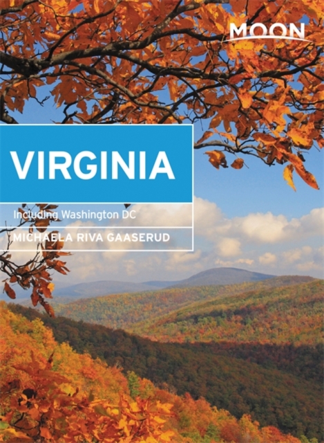
- Reisgids Virginia including Washington DC | Moon Travel Guides
- With Washington DC Read more

The Book Depository
United Kingdom
United Kingdom
- Pacific Crest Trail: Northern California
- From Tuolumne Meadows to the Oregon Border Read more

The Book Depository
United Kingdom
United Kingdom
- Day Hikes in Washington State
- 90 Favorite Trails, Loops, and Summit Scrambles Read more


- Also available from:
- Stanfords, United Kingdom

Stanfords
United Kingdom
United Kingdom
- The Manhattan Nobody Knows: An Urban Walking Guide
- A unique walking guide to Manhattan, from the author of `The New York Nobody Knows`Bill Helmreich walked every block of New York City--six-thousand miles in all--to write the award-winning `The New York Nobody Knows`. Now he has re-walked most of Manhattan--721 miles--to write this new, one-of-a-kind walking guide to the heart of one of the... Read more

The Book Depository
United Kingdom
United Kingdom

The Book Depository
United Kingdom
United Kingdom
- Urban Hikes Washington
- A Guide to the State's Greatest Urban Hiking Adventures Read more

The Book Depository
United Kingdom
United Kingdom
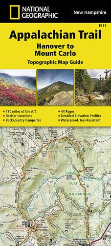
- Appalachian Trail, Hanover To Mount Carlo, New Hampshire
- Trails Illustrated Read more
- Also available from:
- De Zwerver, Netherlands
The Book Depository
United Kingdom
United Kingdom

The Book Depository
United Kingdom
United Kingdom
- Pacific Crest Trail, The
- Hiking America's Wilderness Trail Read more


- Also available from:
- Stanfords, United Kingdom

Stanfords
United Kingdom
United Kingdom
- NG Walking Washington DC
- See the best of Washington with this streamlined walking guide, complete with step-by-step itineraries and maps to help you explore the city like a pro and navigate like a local. Created in a handy, take-along format, this guide is written by a seasoned travel writer to help conjure the spirit of the place in elegant text enhanced by National... Read more
Karten

De Zwerver
Netherlands
Netherlands
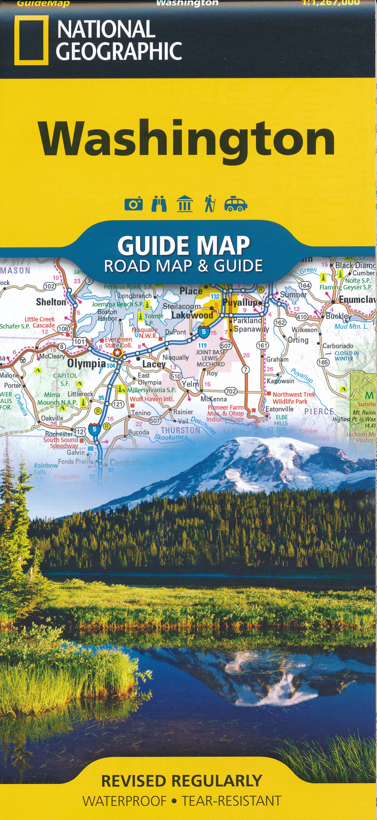
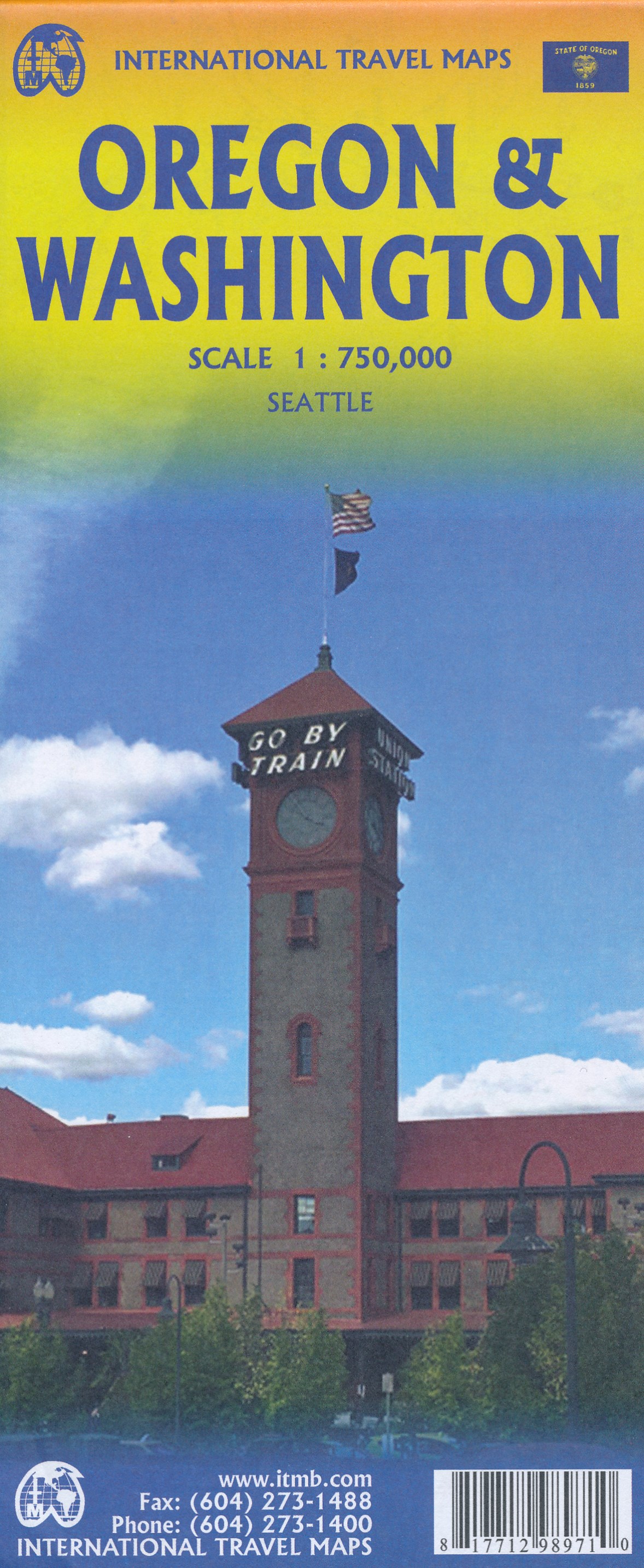
- Wegenkaart - landkaart Washington state - Oregon | ITMB
- Oregon / Washington 1:750 000 ab 10.49 EURO Landkarte, doppelseitig Plan Seattle. 1. Auflage Read more
De Zwerver
Netherlands
Netherlands
De Zwerver
Netherlands
Netherlands
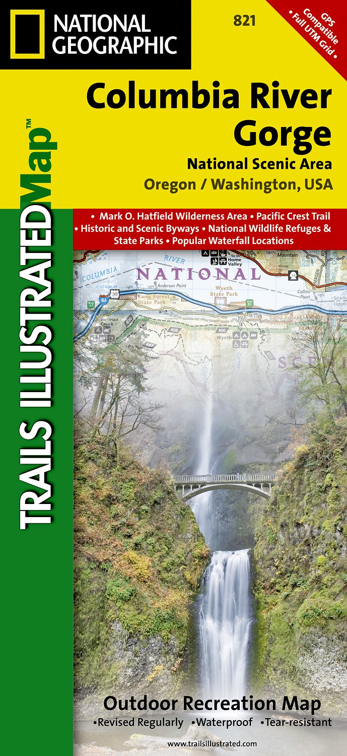
- Wandelkaart - Topografische kaart 821 Columbia River Gorge National Scenic Area | National Geographic
- Prachtige geplastificeerde kaart van het bekende nationaal park. Met alle recreatieve voorzieningen als campsites, maar ook met topografische details en wandelroutes ed. Door uitgekiend kleurgebruik zeer prettig in gebruik. Scheur en watervast! Considered one of the best year-round outdoor recreation areas in the country, the Columbia River... Read more
- Also available from:
- Stanfords, United Kingdom

Stanfords
United Kingdom
United Kingdom
- Columbia River Gorge OR/WA NGS Trails Illustrated Map 821
- Map No. 821, Columbia River Gorge in Oregon and Washington State, in an extensive series of GPS compatible, contoured hiking maps of USA’s national and state parks or forests and other popular recreational areas. Cartography based on the national topographic survey, with additional tourist information.The maps, with most titles now printed on... Read more
De Zwerver
Netherlands
Netherlands
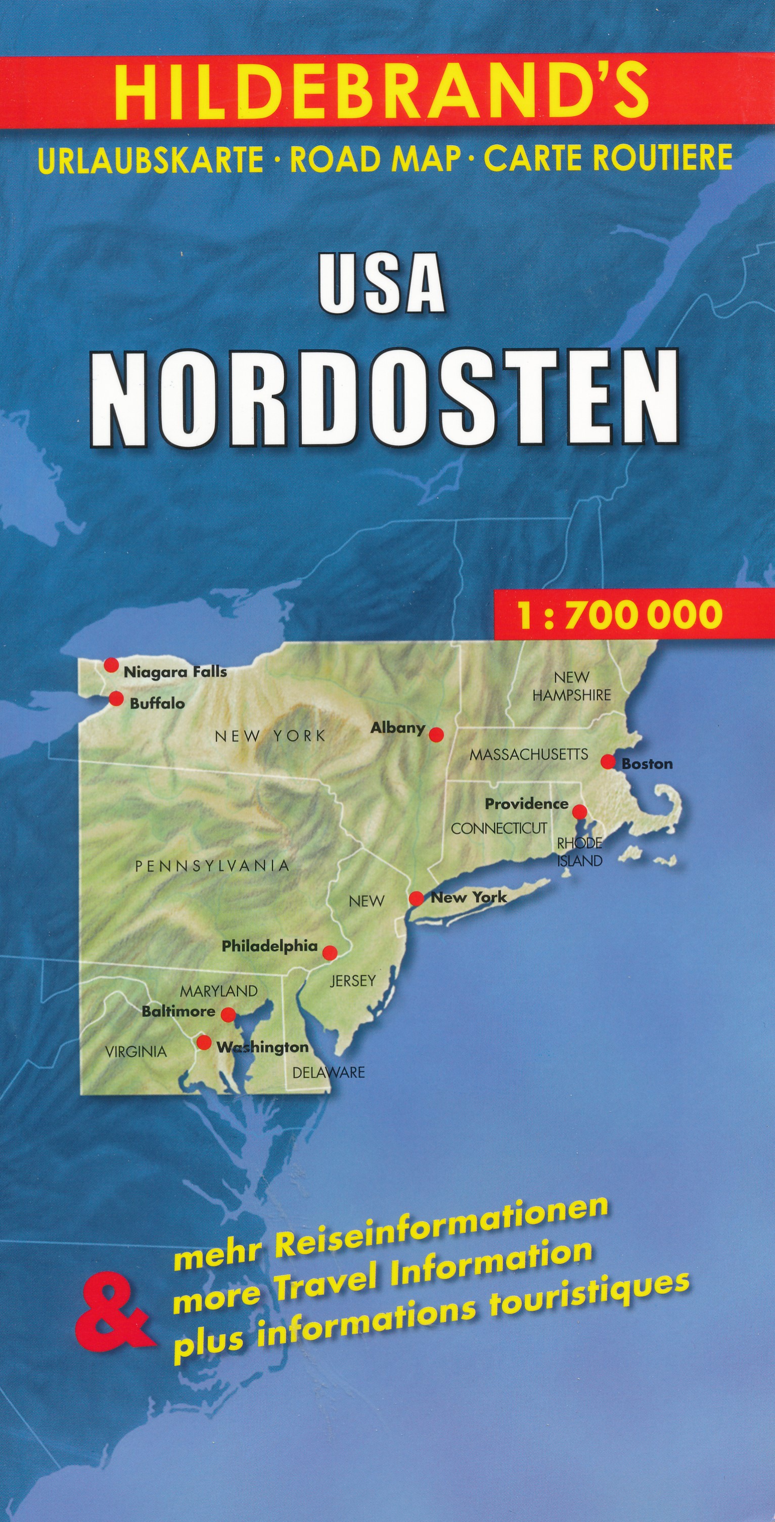
- Wegenkaart - landkaart USA Northeast - USA Noordoost | Hildebrand's
- USA Nordosten 1 : 700 000. Hildebrand´s Urlaubskarte ab 7.95 EURO Umgebungskarten: Boston, New York, Washington - Baltimore. Stadtpläne: Boston, New York/Manhattan, Philadelphia, Baltimore, Washington, Buffalo, Niagara Falls, Pittsburgh. Ortsregister Hildebrand´s Urlaubskarte. Neuauflage, Laufzeit bis 2016 Read more
De Zwerver
Netherlands
Netherlands
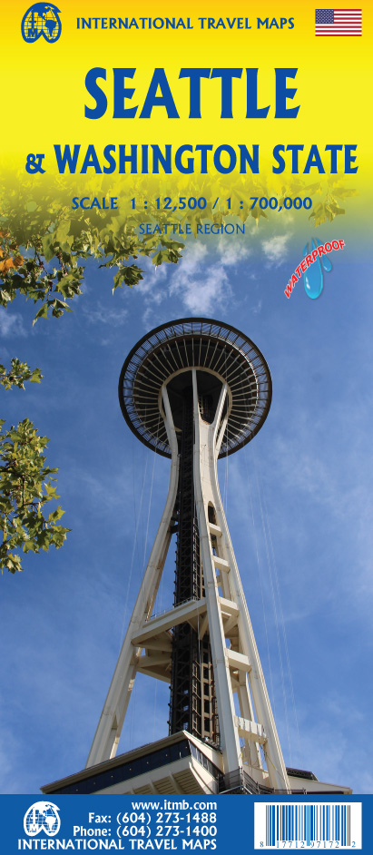
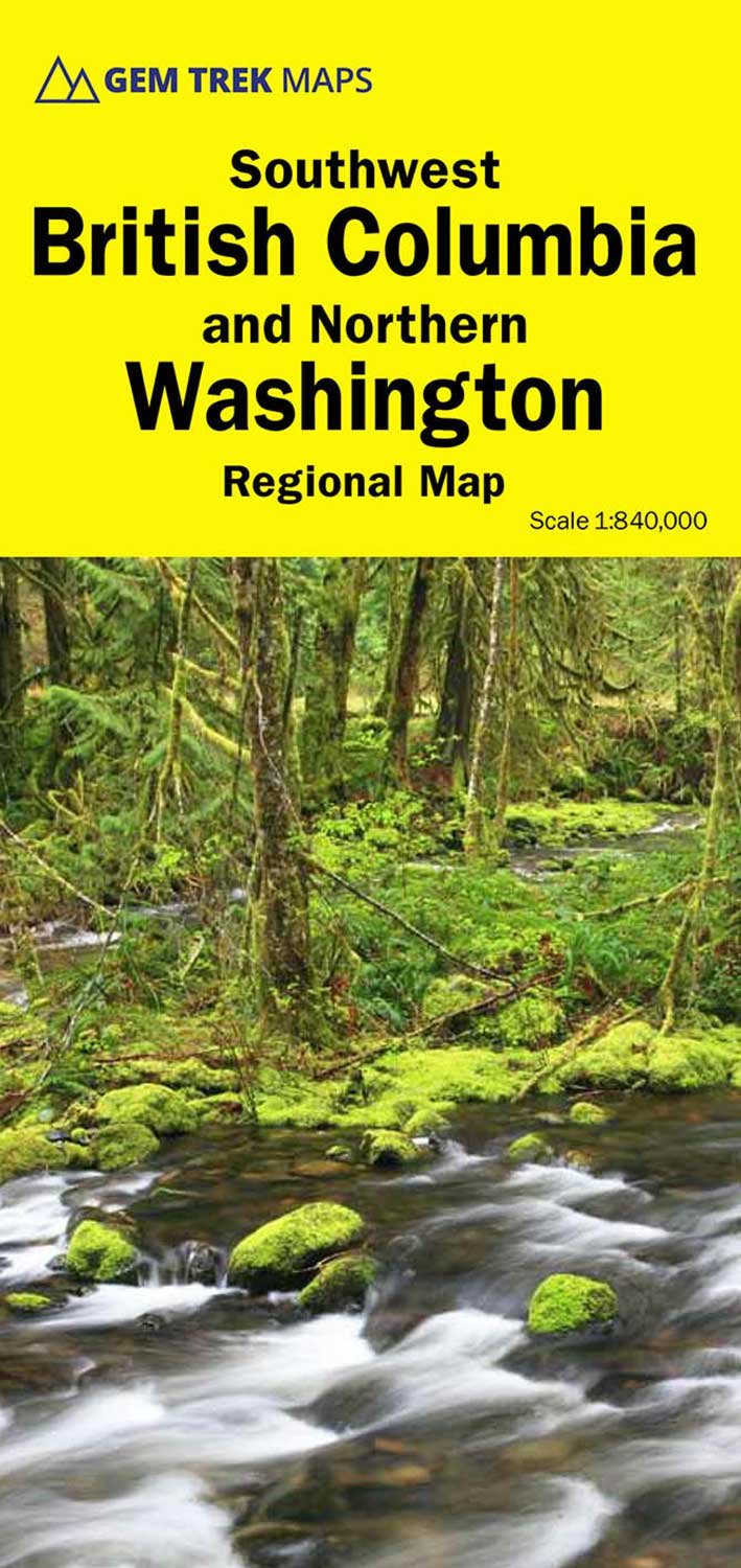
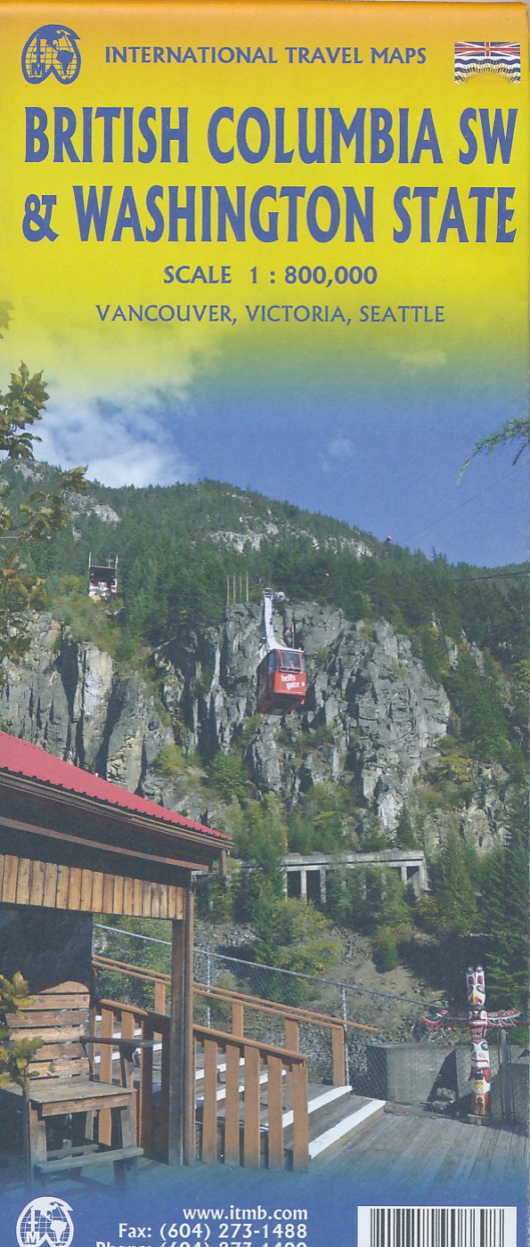
- Wegenkaart - landkaart Washington State - British Columbia southwest | ITMB
- British Columbia Südwest & Washington 1 : 800 000 ab 10.49 EURO Topographische Karte doppelseitig Washington State, Plan Downtown Seattle Britsh Columbia, incl. Vanc. 1st edition Read more
De Zwerver
Netherlands
Netherlands
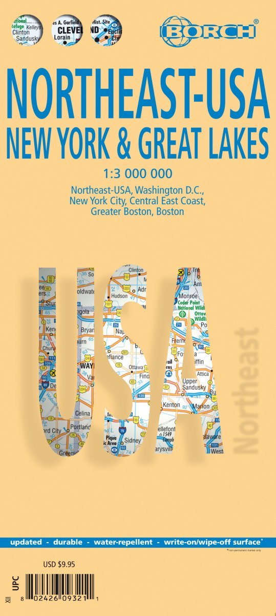
- Wegenkaart - landkaart Noordoost USA - Northeast USA | Borch
- Northeast-USA 5. New York & the Great Lakes 1 : 3 000 000 + City Maps ab 9.9 EURO Washington DC, New York City, Central East Coast, Greater Boston, Boston Borch Map. 13. Auflage Read more

Stanfords
United Kingdom
United Kingdom
- Newcastle upon Tyne 1925
- Map No. 88, Newcastle upon Tyne 1925, in the Cassini Historical Series of old Ordnance Survey mapping of England and Wales at 1:50,000 in a format designed to offer a convenient comparison with the present day coverage from the OS, and most locations in three different editions. Old historical maps have been combined so that the sheet lines... Read more
Stanfords
United Kingdom
United Kingdom
- Newcastle upon Tyne 1901-1904
- Map No. 88, Newcastle upon Tyne 1901-1904, in the Cassini Historical Series of old Ordnance Survey mapping of England and Wales at 1:50,000 in a format designed to offer a convenient comparison with the present day coverage from the OS, and most locations in three different editions. Old historical maps have been combined so that the sheet... Read more
Stanfords
United Kingdom
United Kingdom
- Newcastle upon Tyne 1862-1925 (3-map set)
- Map No. 88, Newcastle upon Tyne 1862-1925 (3-map set), in the Cassini Historical Series of old Ordnance Survey mapping of England and Wales at 1:50,000 in a format designed to offer a convenient comparison with the present day coverage from the OS, and most locations in three different editions. Old historical maps have been combined so that... Read more

Stanfords
United Kingdom
United Kingdom
- Vancouver to Calgary MapArt Back Road Atlas
- The main Trans-Canada Highway from Vancouver to Calgary, including the adjoining Okanagan and Crowsnest Highways and the Seattle area of north-west Washington State, presented at 1:250,000 in an A4 paperback road atlas with additional street plans, listing of local events and wineries, etc.Mapping at 1:250,000 covers the areas indicated on our... Read more

Stanfords
United Kingdom
United Kingdom
- Mount Rainier National Park WA
- Mount Rainier National Park in Washington State at 1:50,000 a series of detailed, contoured maps from Earthwalk Press with cartography based on the USGS topographic survey of the country plus additional information for visitors, printed on light, waterproof and tear-resistant synthetic paper. Enlargements show in greater detail enlarged... Read more