
Wyoming
Beschreibung
Wyoming is a true mountain state, with the Rocky Mountains, glaciers, but also badlands and deserts. And of course the Yellowstone National Park. The main hiking area is the northwest.
Yellowstone is famous, but try to avoid the tourist traps. Better to choose the trails in the outer parts of the park. Another hit is the Grand Teton National Park, and the adjacent National Forest with the same name. The Bridger-Teton National Forest has large wilderness areas. And finally the glacier rich Shoshone National Forest. These parks count for more than 6000 miles of hiking trails.
Wyoming has its share of the famous Continental Divide Trail, and also of the Great Western Trail. The place to be!
Karte

Wanderwege Landesteil
Links
Fakten
Berichte
Führer und Karten
Übernachtung
Organisationen
Reisebüros
GPS
Sonstiges
Bücher

The Book Depository
United Kingdom
United Kingdom
- Hiking the Black Hills Country
- A Guide To More Than 50 Hikes In South Dakota And Wyoming Read more

The Book Depository
United Kingdom
United Kingdom
- Hiking Wyoming
- A Guide to the State's Greatest Hiking Adventures Read more

The Book Depository
United Kingdom
2022
United Kingdom
2022
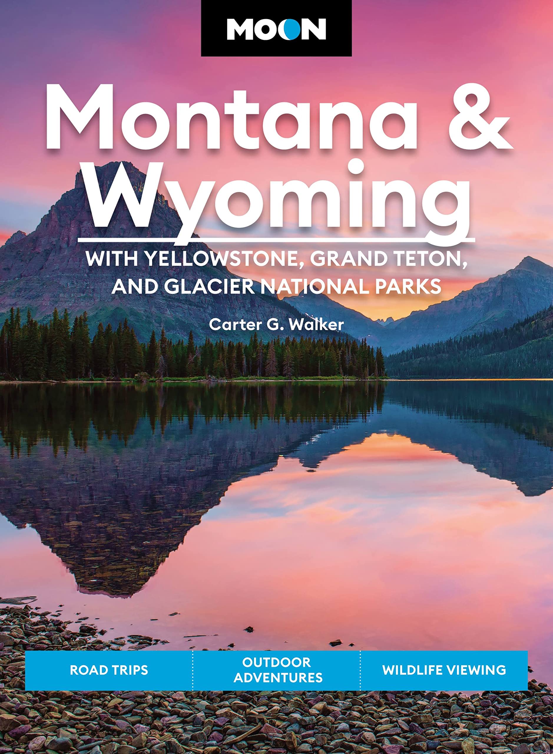
- Moon Montana & Wyoming: With Yellowstone, Grand Teton & Glacier National Parks (Fifth Edition)
- Road Trips, Outdoor Adventures, Wildlife Viewing Read more
- Also available from:
- De Zwerver, Netherlands
De Zwerver
Netherlands
2022
Netherlands
2022
- Reisgids Montana - Wyoming | Moon Travel Guides
- Road Trips, Outdoor Adventures, Wildlife Viewing Read more

Stanfords
United Kingdom
United Kingdom
- Cloud Peak Wilderness WY
- Map No. 720, Cloud Peak Wilderness in Wyoming, at 1:45,000 in an extensive series of GPS compatible, contoured hiking maps of USA’s national and state parks or forests and other popular recreational areas. Cartography based on the national topographic survey, with additional tourist information.The maps, with most titles now printed on light,... Read more
Bol.com
Netherlands
Netherlands
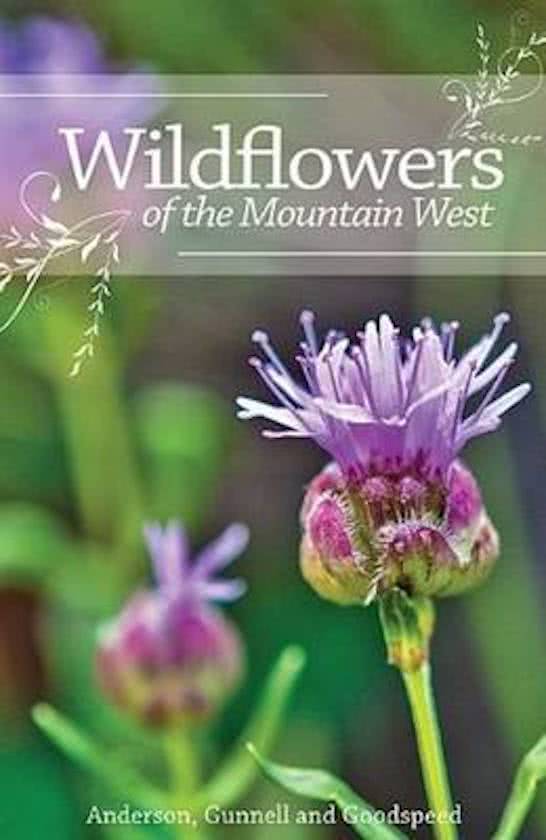
- Wildflowers of the Mountain West
- <div>Many recreational hikers have stopped along the trail to admire a wildflower only to wonder what, exactly, they are looking at.<i>Wildflowers of the Mountain West </i>is a useful field guide that makes flower identification easy for the general outdoor enthusiast.<br><br>Many available plant guides are too... Read more
- Also available from:
- Bol.com, Belgium
Bol.com
Belgium
Belgium
- Wildflowers of the Mountain West
- <div>Many recreational hikers have stopped along the trail to admire a wildflower only to wonder what, exactly, they are looking at.<i>Wildflowers of the Mountain West </i>is a useful field guide that makes flower identification easy for the general outdoor enthusiast.<br><br>Many available plant guides are too... Read more
Bol.com
Netherlands
Netherlands
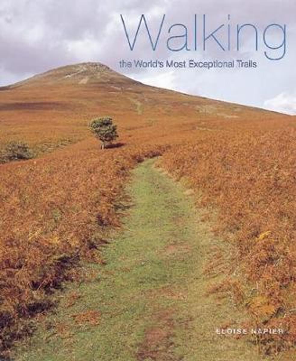
- Walking The World's Most Exceptional Trails
- The ultimate guide to the world's top walking vacations, selected for their unusual location, spectacular scenery, and awesome wildlife.From the Atlas Mountains in Morocco to the West Highland Way in Scotland and Yellowstone National Park in Wyoming and Montana, there are diverse walks presented here for hikers of all ages and abilities.... Read more
- Also available from:
- Bol.com, Belgium
Bol.com
Belgium
Belgium
- Walking The World's Most Exceptional Trails
- The ultimate guide to the world's top walking vacations, selected for their unusual location, spectacular scenery, and awesome wildlife.From the Atlas Mountains in Morocco to the West Highland Way in Scotland and Yellowstone National Park in Wyoming and Montana, there are diverse walks presented here for hikers of all ages and abilities.... Read more

Bol.com
Netherlands
2017
Netherlands
2017
- Moon Colombia, 2nd Edition
- Your World Your Way Travel writer and expat Andrew Dier shares his expert perspective on Colombia, guiding you on a memorable and unique experience. Whether you're dancing and dining in Bogota or hiking to the Ciudad Perdida, Moon Colombia has activities for every traveler. With itineraries like Music and Dance Festivals and Mountain Highs,... Read more
- Also available from:
- Bol.com, Belgium
Bol.com
Belgium
2017
Belgium
2017
- Moon Colombia, 2nd Edition
- Your World Your Way Travel writer and expat Andrew Dier shares his expert perspective on Colombia, guiding you on a memorable and unique experience. Whether you're dancing and dining in Bogota or hiking to the Ciudad Perdida, Moon Colombia has activities for every traveler. With itineraries like Music and Dance Festivals and Mountain Highs,... Read more
Bol.com
Netherlands
Netherlands
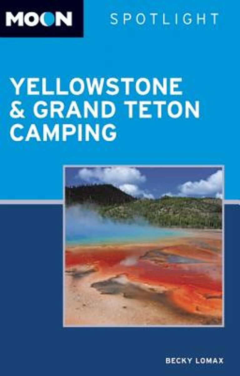
- Moon Spotlight Yellowstone & Grand Teton Camping (2nd ed)
- Moon Spotlight Yellowstone & Grand Teton Camping is a 206-page compact guide covering the regions best campsites, including those along the Gallatin, Madison, and Yellowstone Rivers. Writer, photographer, and naturalist Becky Lomax provides insight on each campsite, including the number of campgrounds, tips on gear selection and maintenance,... Read more
- Also available from:
- Bol.com, Belgium
Bol.com
Belgium
Belgium
- Moon Spotlight Yellowstone & Grand Teton Camping (2nd ed)
- Moon Spotlight Yellowstone & Grand Teton Camping is a 206-page compact guide covering the regions best campsites, including those along the Gallatin, Madison, and Yellowstone Rivers. Writer, photographer, and naturalist Becky Lomax provides insight on each campsite, including the number of campgrounds, tips on gear selection and maintenance,... Read more

Bol.com
Netherlands
Netherlands
- Hunting in the Great West (Rustlings in the Rockies) Hunting and Fishing by Mountain and Stream
- 1888. Shields (Coquina), a frequent contributor to American Field, offers interesting sketches to enlighten people on the importance of healthy outdoor sports and in the protection of fish and game. Contents: Rustlings in the Rockies; The Party Organized; On the Way to Wyoming; Meditations in a Wiciup; A Perilous Experience; In the Big Horn... Read more
- Also available from:
- Bol.com, Belgium
Bol.com
Belgium
Belgium
- Hunting in the Great West (Rustlings in the Rockies) Hunting and Fishing by Mountain and Stream
- 1888. Shields (Coquina), a frequent contributor to American Field, offers interesting sketches to enlighten people on the importance of healthy outdoor sports and in the protection of fish and game. Contents: Rustlings in the Rockies; The Party Organized; On the Way to Wyoming; Meditations in a Wiciup; A Perilous Experience; In the Big Horn... Read more
Bol.com
Netherlands
Netherlands
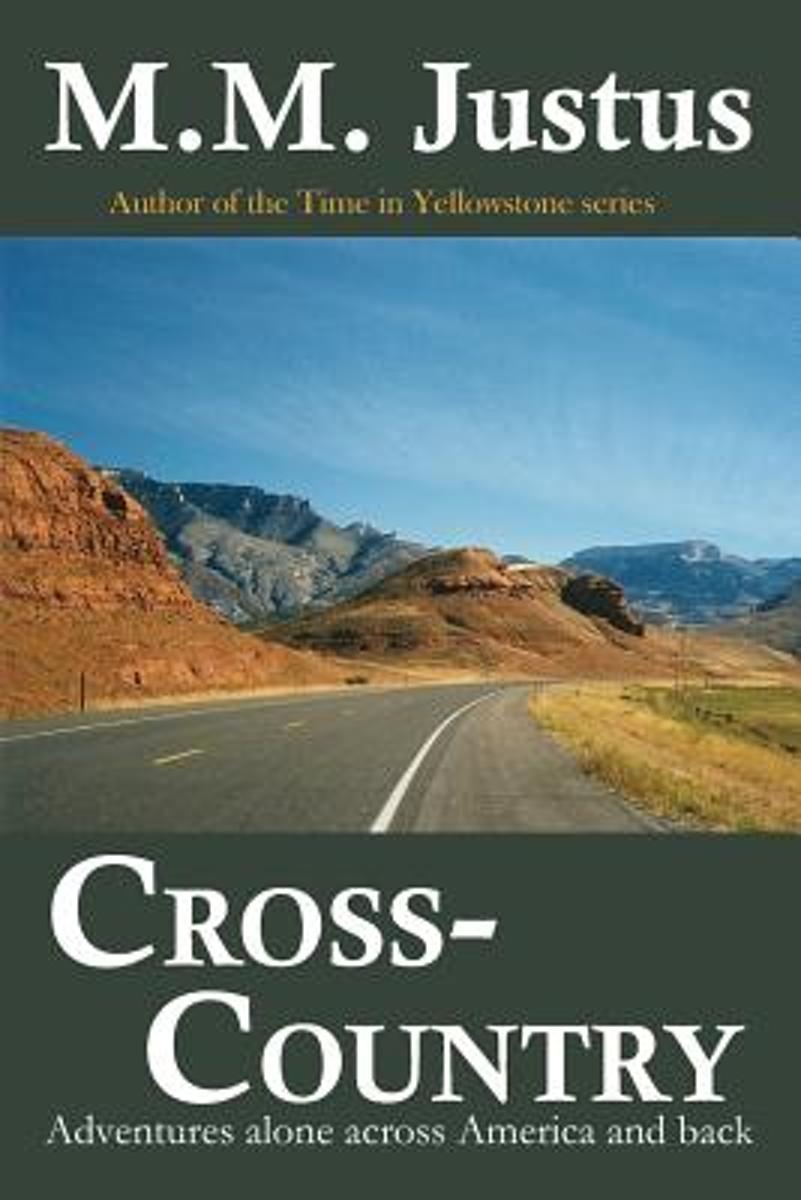
- Cross-Country
- After a childhood of summers spent in the back seat of a car, and four months before the turn of the millenium, M.M. Justus decided to follow in the footsteps of her heroes John Steinbeck and William Least-Heat Moon, not to mention Bill Bryson, and drive alone across America s backroads for three months. Like the bear going over the mountain,... Read more
- Also available from:
- Bol.com, Belgium
Bol.com
Belgium
Belgium
- Cross-Country
- After a childhood of summers spent in the back seat of a car, and four months before the turn of the millenium, M.M. Justus decided to follow in the footsteps of her heroes John Steinbeck and William Least-Heat Moon, not to mention Bill Bryson, and drive alone across America s backroads for three months. Like the bear going over the mountain,... Read more
Bol.com
Netherlands
Netherlands
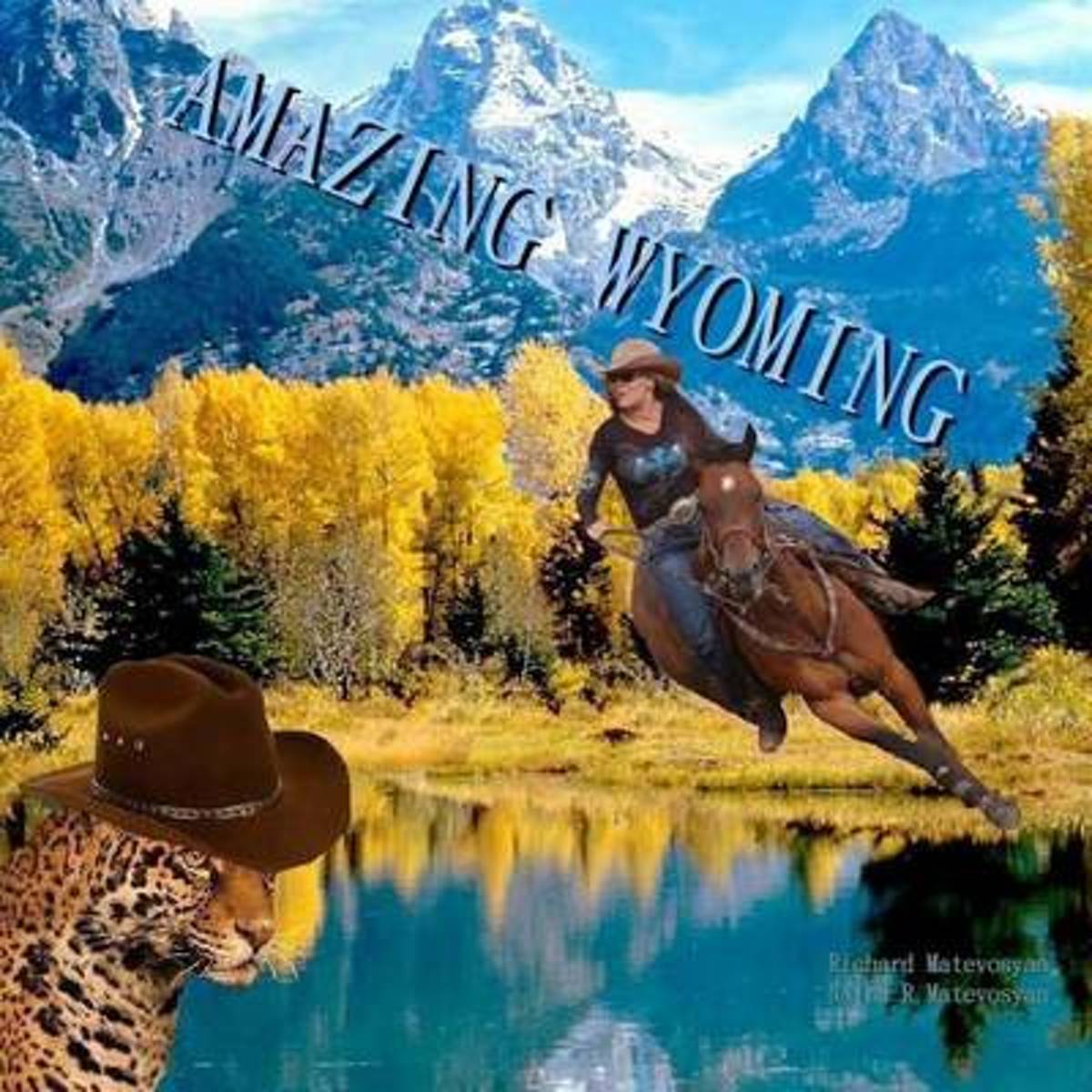
- Amazing Wyoming
- A true wonderland, Wyoming proves that all you need for a fantastic adventure and a taste for fun. Join your tourmates in rosettes in a learning cast for riding, roping, and wrangling on the Bighorn mountains. Lodge in an enchanting doud ranch in Shell. Raft along the Shoshone river, dine at Cassie's supper club, and try your rodeo in Cody -... Read more
- Also available from:
- Bol.com, Belgium
Bol.com
Belgium
Belgium
- Amazing Wyoming
- A true wonderland, Wyoming proves that all you need for a fantastic adventure and a taste for fun. Join your tourmates in rosettes in a learning cast for riding, roping, and wrangling on the Bighorn mountains. Lodge in an enchanting doud ranch in Shell. Raft along the Shoshone river, dine at Cassie's supper club, and try your rodeo in Cody -... Read more

Bol.com
Netherlands
Netherlands
- Continental Divide Trail Pocket Maps - Wyoming
- Wyoming1st Edition - December 15, 2014The Continental Divide Trail Pocket Map Series is a complete and concise set of topographic maps created withdigitized base maps covering every step of the 3,016 mile trail from Mexico to Canada.The most current data available! This reflects the recently located, official CDTThe land cover, hydrology and... Read more
- Also available from:
- Bol.com, Belgium
Bol.com
Belgium
Belgium
- Continental Divide Trail Pocket Maps - Wyoming
- Wyoming1st Edition - December 15, 2014The Continental Divide Trail Pocket Map Series is a complete and concise set of topographic maps created withdigitized base maps covering every step of the 3,016 mile trail from Mexico to Canada.The most current data available! This reflects the recently located, official CDTThe land cover, hydrology and... Read more
Bol.com
Netherlands
Netherlands
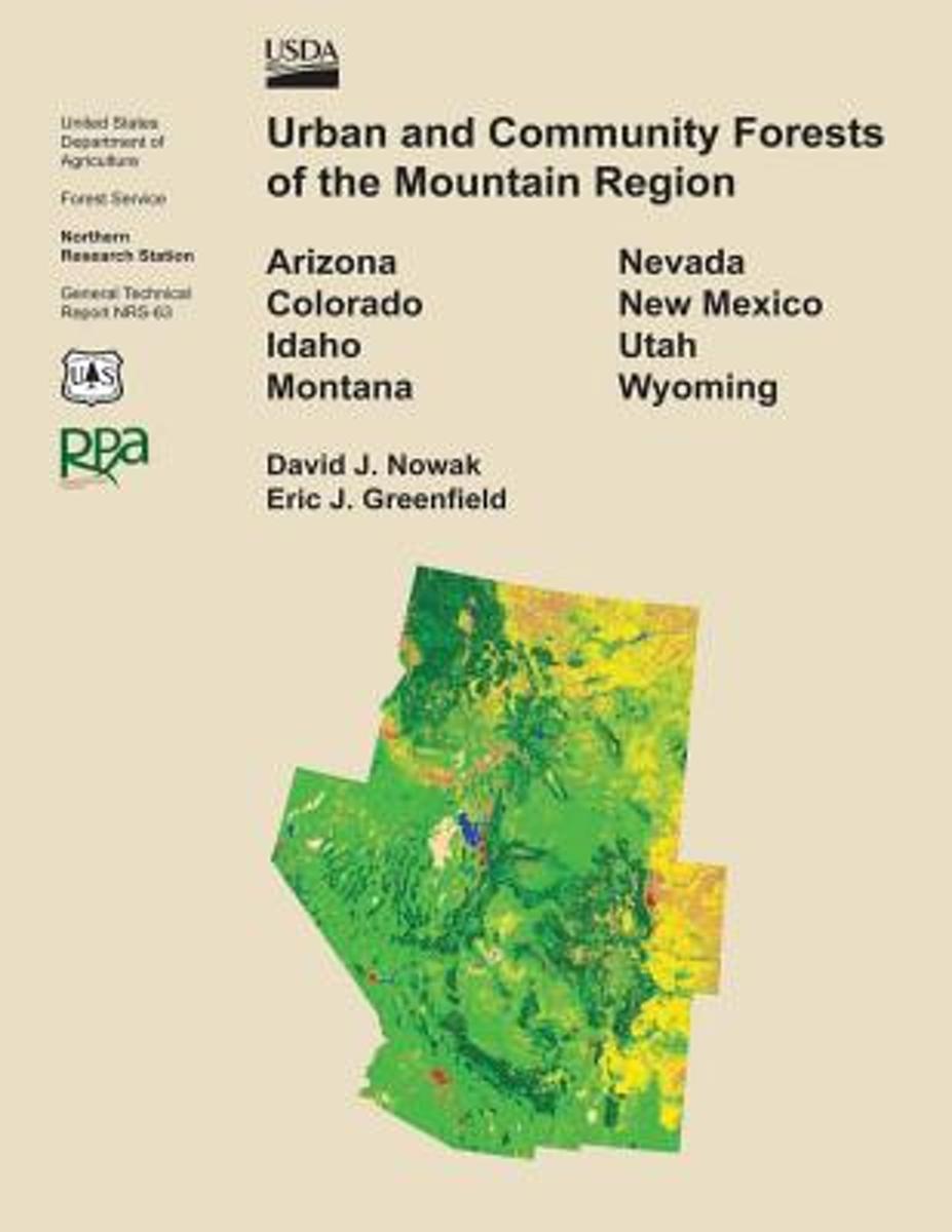
- Urban and Community Forests of the Mountain Region
- This report details how land cover and urbanization vary within the states of Arizona, Colorado, Idaho, Montana, Nevada, New Mexico, Utah, and Wyoming by community (incorporated and census designed places), county subdivision, and county. Specifically this report provides critical urban and community forestry information for each state... Read more
- Also available from:
- Bol.com, Belgium
Bol.com
Belgium
Belgium
- Urban and Community Forests of the Mountain Region
- This report details how land cover and urbanization vary within the states of Arizona, Colorado, Idaho, Montana, Nevada, New Mexico, Utah, and Wyoming by community (incorporated and census designed places), county subdivision, and county. Specifically this report provides critical urban and community forestry information for each state... Read more
Bol.com
Netherlands
Netherlands
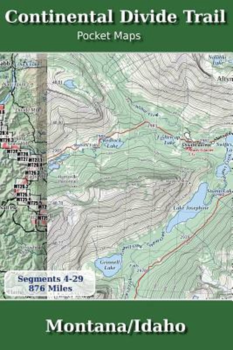
- Continental Divide Trail Pocket Maps - Montana/Idaho
- Montana & Idaho2nd Edition - November 5, 2017 - Major Updates for 2018The Continental Divide Trail Pocket Map Series is a current, complete and concise set of topographic maps created with digitized base maps covering every step of the 3,062 mile trail from Mexico to Canada. These are not 40 year old scanned USGS topographic maps.Features:+... Read more
- Also available from:
- Bol.com, Belgium
Bol.com
Belgium
Belgium
- Continental Divide Trail Pocket Maps - Montana/Idaho
- Montana & Idaho2nd Edition - November 5, 2017 - Major Updates for 2018The Continental Divide Trail Pocket Map Series is a current, complete and concise set of topographic maps created with digitized base maps covering every step of the 3,062 mile trail from Mexico to Canada. These are not 40 year old scanned USGS topographic maps.Features:+... Read more
Karten

The Book Depository
United Kingdom
United Kingdom
- Yellowstone Sw/old Faithful
- Trails Illustrated National Parks Read more
- Also available from:
- De Zwerver, Netherlands
- Stanfords, United Kingdom

De Zwerver
Netherlands
Netherlands
- Wandelkaart - Topografische kaart 302 Old Faithful, Yellowstone National Park SW | National Geographic
- Prachtige geplastificeerde kaart van het bekende nationaal park. Met alle recreatieve voorzieningen als campsites, maar ook met topografische details en wandelroutes ed. Door uitgekiend kleurgebruik zeer prettig in gebruik. Scheur en watervast! Beautiful waterproof and tear-resistant topographical hiking map of a well-loved National Park, with... Read more

Stanfords
United Kingdom
United Kingdom
- Old Faithful - Yellowstone National Park SW WY/MT
- Map No. 302, Yellowstone SW: Old Faithful, WY/MT, in an extensive series of GPS compatible, contoured hiking maps of USA’s national and state parks or forests and other popular recreational areas. Cartography based on the national topographic survey, with additional tourist information.The maps, with most titles now printed on light, waterproof... Read more

The Book Depository
United Kingdom
United Kingdom
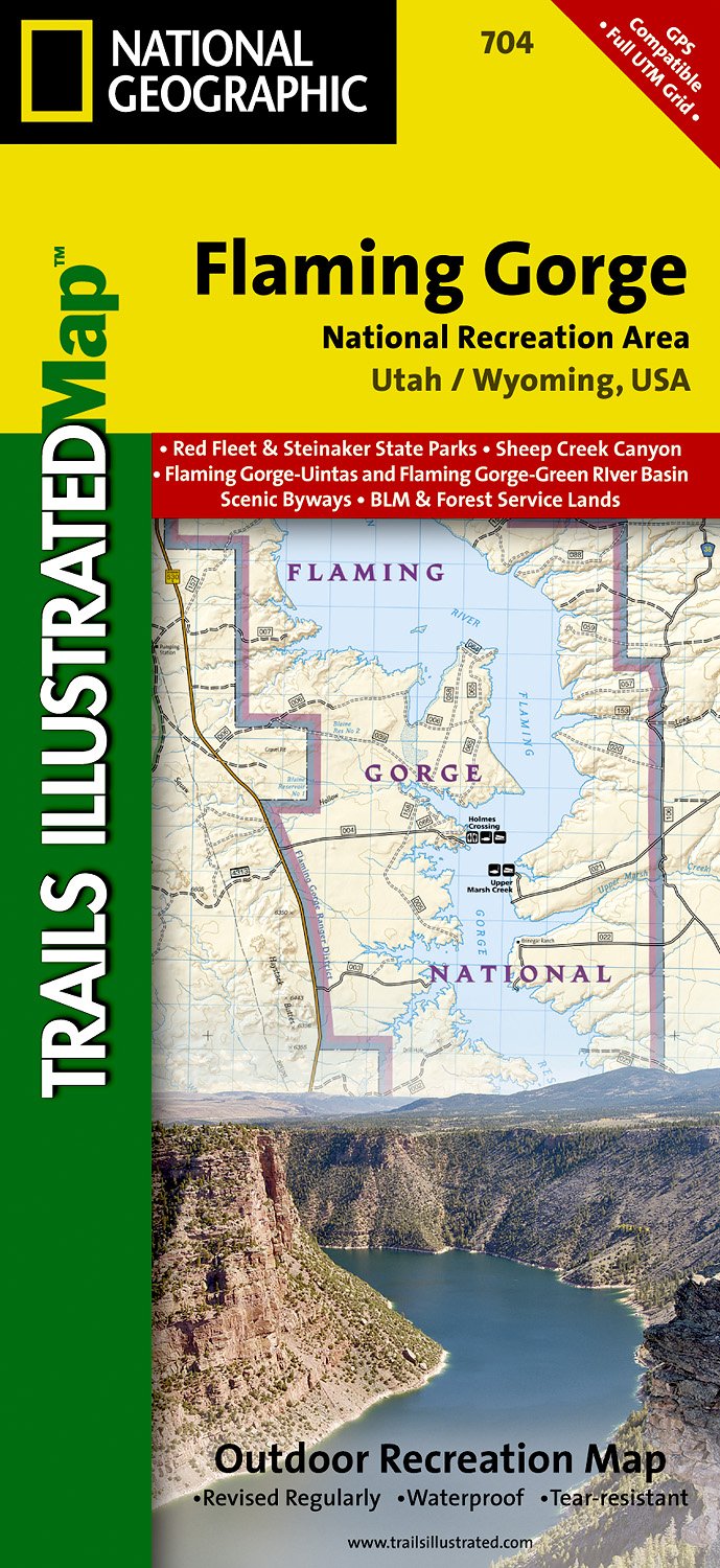
- Flaming Gorge/east Uintas
- Trails Illustrated Other Rec. Areas Read more
- Also available from:
- De Zwerver, Netherlands
- Stanfords, United Kingdom
De Zwerver
Netherlands
Netherlands
- Wandelkaart - Topografische kaart 704 Flaming Gorge National Recreation Area | National Geographic
- Prachtige geplastificeerde kaart van het bekende nationaal park. Met alle recreatieve voorzieningen als campsites, maar ook met topografische details en wandelroutes ed. Door uitgekiend kleurgebruik zeer prettig in gebruik. Scheur en watervast! Coverage includes Ashley National Forest; Flaming Gorge National Recreation Area; Eastern Uinta... Read more

Stanfords
United Kingdom
United Kingdom
- Flaming Gorge - East Uintas UT/WY
- Map No. 704, Flaming Gorge - East Uintas, UT/WY, in an extensive series of GPS compatible, contoured hiking maps of USA’s national and state parks or forests and other popular recreational areas. Cartography based on the national topographic survey, with additional tourist information.The maps, with most titles now printed on light, waterproof... Read more

The Book Depository
United Kingdom
United Kingdom
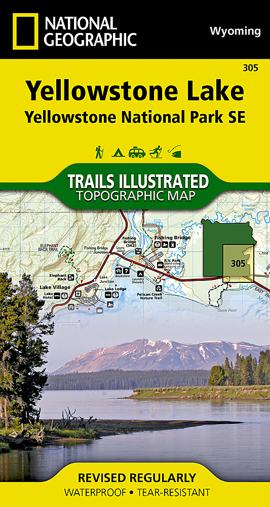
- Yellowstone Se/yellowstone Lake
- Trails Illustrated National Parks Read more
- Also available from:
- De Zwerver, Netherlands
- Stanfords, United Kingdom
De Zwerver
Netherlands
Netherlands
- Wandelkaart 305 Yellowstone Lake | National Geographic
- Prachtige geplastificeerde kaart van het nationaal park. Met alle recreatieve voorzieningen als campsites, maar ook met topografische details en wandelroutes ed. Door uitgekiend kleurgebruik zeer prettig in gebruik. Scheur en watervast! Coverage of the Yellowstone Lake area of Yellowstone National Park includes Pelican Valley BMA, Clear Creek... Read more

Stanfords
United Kingdom
United Kingdom
- Yellowstone Lake - Yellowstone National Park WY
- Map No. 305, Yellowstone SE: Yellowstone Lake in Wyoming, at 1:63.360 in an extensive series of GPS compatible, contoured hiking maps of USA’s national and state parks or forests and other popular recreational areas. Cartography based on the national topographic survey, with additional tourist information.The maps, with most titles now printed... Read more

The Book Depository
United Kingdom
United Kingdom
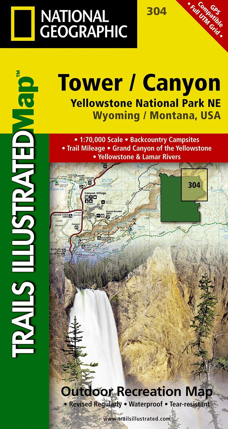
- Yellowstone Ne/tower/canyon
- Trails Illustrated National Parks Read more
- Also available from:
- De Zwerver, Netherlands
- Stanfords, United Kingdom
De Zwerver
Netherlands
Netherlands
- Wandelkaart - Topografische kaart 304 Tower - Canyon - Yellowstone National Park NE | National Geographic
- Prachtige geplastificeerde kaart van het nationaal park. Met alle recreatieve voorzieningen als campsites, maar ook met topografische details en wandelroutes ed. Door uitgekiend kleurgebruik zeer prettig in gebruik. Scheur en watervast! Coverage of the Tower / Canyon area of Yellowstone National Park includes Canyon Village, Tower -... Read more

Stanfords
United Kingdom
United Kingdom
- Tower - Canyon - Yellowstone National Park WY/MT
- Map No. 304, Yellowstone NE: Tower/Canyon, WY/MT, in an extensive series of GPS compatible, contoured hiking maps of USA’s national and state parks or forests and other popular recreational areas. Cartography based on the national topographic survey, with additional tourist information.The maps, with most titles now printed on light, waterproof... Read more
De Zwerver
Netherlands
Netherlands
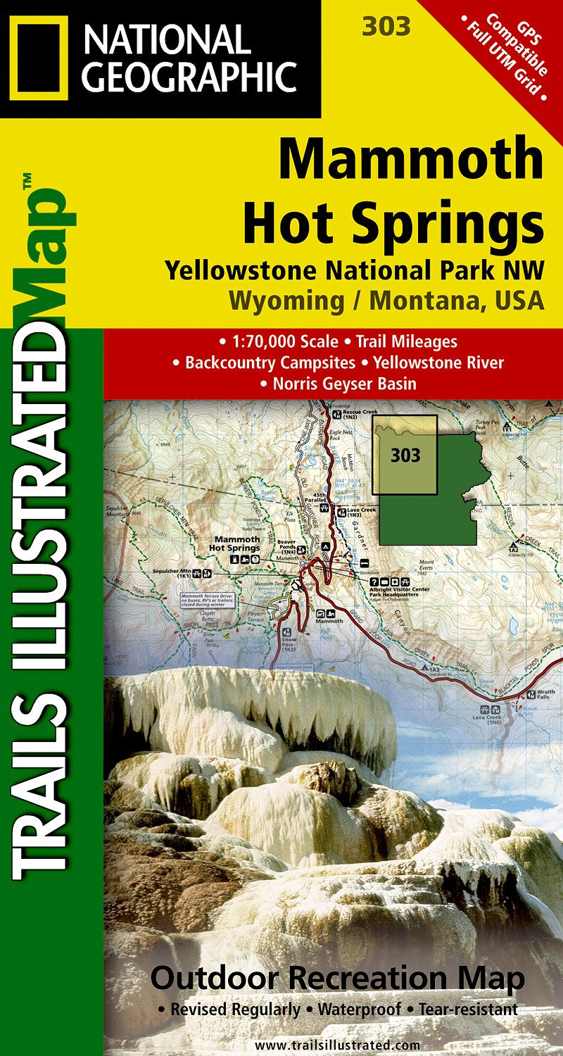
- Wandelkaart - Topografische kaart 303 Mammoth Hot Springs Yellowstone National Park | National Geographic
- Prachtige geplastificeerde kaart van het nationaal park. Met alle recreatieve voorzieningen als campsites, maar ook met topografische details en wandelroutes ed. Door uitgekiend kleurgebruik zeer prettig in gebruik. Scheur en watervast! Coverage of the Old Faithful area of Yellowstone National Park includes Heart Lake BMA, Pitchstone Plateau,... Read more
- Also available from:
- Stanfords, United Kingdom

Stanfords
United Kingdom
United Kingdom
- Mammoth Hot Springs - Yellowstone National Park NW WY/MT
- Map No. 303, Yellowstone NW: Mammoth Hot Springs, WY/MT, in an extensive series of GPS compatible, contoured hiking maps of USA’s national and state parks or forests and other popular recreational areas. Cartography based on the national topographic survey, with additional tourist information.The maps, with most titles now printed on light,... Read more

De Zwerver
Netherlands
Netherlands
- Wegenkaart - landkaart Idaho, Montana & Wyoming | ITMB
- Idaho,Montana & Wyoming Travel Reference Map 1 : 1 000 000 ab 10.49 EURO International Travel Map ITM. 1st Edition Read more


Stanfords
United Kingdom
United Kingdom
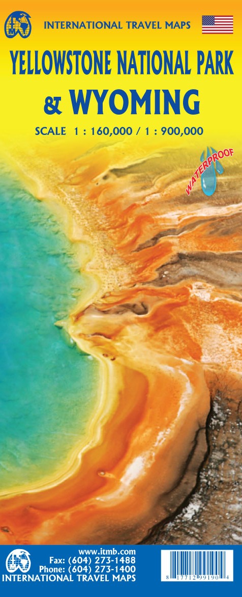
- Greater Yellowstone & Grand Teton Benchnark Maps Recreation Atlas & Guide
- Greater Yellowstone and Grand Teton Recreation Atlas & Guide from Benchmark Maps in an A4 paperback format, with coverage of the two parks on detailed, GPS compatible “Recreational” section at 1:100,000, regional map coverage of a wider area, plus a 10-page recreational guide with list of various facilities, etc.The more detailed “Landscape”... Read more

De Zwerver
Netherlands
Netherlands
- Wandelkaart 262 Grand Canyon East - Oost | National Geographic
- Prachtige geplastificeerde kaart van het nationaal park. Met alle recreatieve voorzieningen als campsites, maar ook met topografische details en wandelroutes ed. Door uitgekiend kleurgebruik zeer prettig in gebruik. Scheur en watervast! Grand Canyon East (#262) and Grand Canyon West (#263) combine to cover the entire Grand Canyon National Park... Read more
- Also available from:
- Bol.com, Netherlands
- Bol.com, Belgium

Bol.com
Netherlands
Netherlands
- Grand Canyon East
- Waterproof Tear-Resistant Topographic MapGrand Canyon East (#262) and Grand Canyon West (#263) combine to cover the entire Grand Canyon National Park and its bordering public lands. Both maps contain detailed and easy-to-read trail and road networks, locations of facilities, points of interest, and highly accurate terrain with thousands... Read more
Bol.com
Belgium
Belgium
- Grand Canyon East
- Waterproof Tear-Resistant Topographic MapGrand Canyon East (#262) and Grand Canyon West (#263) combine to cover the entire Grand Canyon National Park and its bordering public lands. Both maps contain detailed and easy-to-read trail and road networks, locations of facilities, points of interest, and highly accurate terrain with thousands... Read more

The Book Depository
United Kingdom
United Kingdom
- Bryce Canyon National Park
- Trails Illustrated National Parks Read more
- Also available from:
- De Zwerver, Netherlands
- Stanfords, United Kingdom
- Bol.com, Netherlands
- Bol.com, Belgium

De Zwerver
Netherlands
Netherlands
- Wandelkaart - Topografische kaart 219 Bryce Canyon National Park | National Geographic
- Prachtige geplastificeerde kaart van het bekende nationaal park. Met alle recreatieve voorzieningen als campsites, maar ook met topografische details en wandelroutes ed. Door uitgekiend kleurgebruik zeer prettig in gebruik. Scheur en watervast! This informative Trails Illustrated map will help you plan trips and explore the area in and around... Read more

Stanfords
United Kingdom
United Kingdom
- Bryce Canyon National Park UT NGS Trails Illustrated Map 219
- Map No. 219, Bryce Canyon National Park, UT, in an extensive series of GPS compatible, contoured hiking maps of USA’s national and state parks or forests and other popular recreational areas. Cartography based on the national topographic survey, with additional tourist information.The maps, with most titles now printed on light, waterproof and... Read more

Bol.com
Netherlands
Netherlands
- Bryce Canyon National Park
- Waterproof Tear-Resistant Topographic MapNational Geographic's Trails Illustrated map of Bryce Canyon National Park is designed to meet the needs of outdoor enthusiasts by combining valuable information with unmatched detail of this unique landscape of hoodoos and forest. Created in partnership with local land management agencies, this... Read more
Bol.com
Belgium
Belgium
- Bryce Canyon National Park
- Waterproof Tear-Resistant Topographic MapNational Geographic's Trails Illustrated map of Bryce Canyon National Park is designed to meet the needs of outdoor enthusiasts by combining valuable information with unmatched detail of this unique landscape of hoodoos and forest. Created in partnership with local land management agencies, this... Read more

De Zwerver
Netherlands
Netherlands
- Wandelkaart - Topografische kaart 215 Glacier - Waterton Lakes National Park | National Geographic
- Prachtige geplastificeerde kaart van het bekende nationaal park. Met alle recreatieve voorzieningen als campsites, maar ook met topografische details en wandelroutes ed. Door uitgekiend kleurgebruik zeer prettig in gebruik. Scheur en watervast! Waterton Lakes National Park, Canada includes Waterton Park, Upper and Middle Waterton Lakes, The... Read more
- Also available from:
- Stanfords, United Kingdom
- Bol.com, Netherlands
- Bol.com, Belgium

Stanfords
United Kingdom
United Kingdom
- Glacier - Waterton Lakes National Park MT
- Map No. 215, Glacier/Waterton Lakes National Park, MT, in an extensive series of GPS compatible, contoured hiking maps of USA’s national and state parks or forests and other popular recreational areas. Cartography based on the national topographic survey, with additional tourist information.The maps, with most titles now printed on light,... Read more

Bol.com
Netherlands
Netherlands
- Glacier/waterton Lakes National Parks
- Waterproof Tear-Resistant Topographic MapNational Geographic's Trails Illustrated map of Glacier and Waterton Lakes National Parks offers unparalleled detail for outdoor enthusiasts exploring the pristine landscape of forests, mountains, lakes, and meadows within these two spectacular parks. Created in partnership with local land... Read more
Bol.com
Belgium
Belgium
- Glacier/waterton Lakes National Parks
- Waterproof Tear-Resistant Topographic MapNational Geographic's Trails Illustrated map of Glacier and Waterton Lakes National Parks offers unparalleled detail for outdoor enthusiasts exploring the pristine landscape of forests, mountains, lakes, and meadows within these two spectacular parks. Created in partnership with local land... Read more

The Book Depository
United Kingdom
United Kingdom
- Yellowstone National Park
- Trails Illustrated National Parks Read more
- Also available from:
- De Zwerver, Netherlands
- Stanfords, United Kingdom
- Bol.com, Netherlands
- Bol.com, Belgium

De Zwerver
Netherlands
Netherlands
- Wandelkaart - Topografische kaart 201 Trails Illustrated Yellowstone National Park | National Geographic
- Prachtige geplastificeerde kaart van het bekende nationaal park. Met alle recreatieve voorzieningen als campsites, maar ook met topografische details en wandelroutes ed. Door uitgekiend kleurgebruik zeer prettig in gebruik. Scheur en watervast! Detailed and accurate coverage for Yellowstone National Park. Includes a detailed road network and... Read more

Stanfords
United Kingdom
United Kingdom
- Yellowstone National Park WY/MT NGS Trails Illustrated Map 201
- Map No. 201, Yellowstone National Park, WY/MT, in an extensive series of GPS compatible, contoured hiking maps of USA’s national and state parks or forests and other popular recreational areas. Cartography based on the national topographic survey, with additional tourist information.The maps, with most titles now printed on light, waterproof... Read more

Bol.com
Netherlands
Netherlands
- Yellowstone National Park
- Waterproof Tear-Resistant Topographic MapNational Geographic's Trails Illustrated map of Yellowstone National Park is designed to meet the needs of outdoor enthusiasts by combining valuable information with unmatched detail of America's first national park. Expertly researched and created in partnership with local land management... Read more
Bol.com
Belgium
Belgium
- Yellowstone National Park
- Waterproof Tear-Resistant Topographic MapNational Geographic's Trails Illustrated map of Yellowstone National Park is designed to meet the needs of outdoor enthusiasts by combining valuable information with unmatched detail of America's first national park. Expertly researched and created in partnership with local land management... Read more

De Zwerver
Netherlands
Netherlands
- Wandelkaart - Topografische kaart 314 Many Glacier - Glacier and Waterton Lakes National Parks | National Geographic
- Prachtige geplastificeerde kaart van het bekende nationaal park. Met alle recreatieve voorzieningen als campsites, maar ook met topografische details en wandelroutes ed. Door uitgekiend kleurgebruik zeer prettig in gebruik. Scheur en watervast! Located just north of Kalispell in Montana's northwest corner, Glacier National contains an... Read more
- Also available from:
- Stanfords, United Kingdom
- Bol.com, Netherlands
- Bol.com, Belgium

Stanfords
United Kingdom
United Kingdom
- Many Glacier - Glacier and Waterton Lakes National Parks MT
- Map No. 313, Glacier National Park: North Fork, MT, in an extensive series of GPS compatible, contoured hiking maps of USA’s national and state parks or forests and other popular recreational areas. Cartography based on the national topographic survey, with additional tourist information.The maps, with most titles now printed on light,... Read more

Bol.com
Netherlands
Netherlands
- Many Glacier, Glacier National Park
- Waterproof Tear-Resistant Topographic MapLocated just north of Kalispell in Montana's northwest corner, Glacier National contains an abundance of recreational opportunities for outdoor enthusiasts of all interests.This detailed topographic recreation map contains carefully researched trails, campsites, forest service roads, and... Read more
Bol.com
Belgium
Belgium
- Many Glacier, Glacier National Park
- Waterproof Tear-Resistant Topographic MapLocated just north of Kalispell in Montana's northwest corner, Glacier National contains an abundance of recreational opportunities for outdoor enthusiasts of all interests.This detailed topographic recreation map contains carefully researched trails, campsites, forest service roads, and... Read more

The Book Depository
United Kingdom
United Kingdom
- Grand Teton National Park
- Trails Illustrated National Parks Read more
- Also available from:
- De Zwerver, Netherlands
- Stanfords, United Kingdom
- Bol.com, Netherlands
- Bol.com, Belgium

De Zwerver
Netherlands
Netherlands
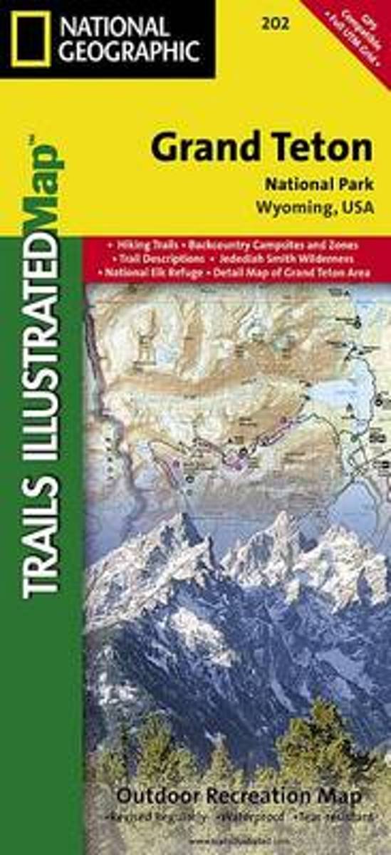
- Wandelkaart 202 Grand Teton National Park | National Geographic
- Prachtige geplastificeerde kaart van het bekende nationaal park. Met alle recreatieve voorzieningen als campsites, maar ook met topografische details en wandelroutes ed. Door uitgekiend kleurgebruik zeer prettig in gebruik. Scheur en watervast! De meeste kaarten hebben een UTM grid en zijn dan ook GPS toepasbaar. Coverage includes town of Lead,... Read more

Stanfords
United Kingdom
United Kingdom
- Grand Teton National Park WY NGS Trails Illustrated Map 202
- Map No. 202, Grand Teton National Park, WY, in an extensive series of GPS compatible, contoured hiking maps of USA’s national and state parks or forests and other popular recreational areas. Cartography based on the national topographic survey, with additional tourist information.The maps, with most titles now printed on light, waterproof and... Read more
Bol.com
Netherlands
Netherlands
- Grand Teton National Park
- Waterproof Tear-Resistant Topographic MapExpertly researched and created in partnership with local land management agencies, National Geographic's Trails Illustrated map of Grand Teton National Park provides an unparalleled tool for exploring this magnificent region. This map offers unmatched detail of the entire park and features key... Read more
Bol.com
Belgium
Belgium
- Grand Teton National Park
- Waterproof Tear-Resistant Topographic MapExpertly researched and created in partnership with local land management agencies, National Geographic's Trails Illustrated map of Grand Teton National Park provides an unparalleled tool for exploring this magnificent region. This map offers unmatched detail of the entire park and features key... Read more