- Also available from:
- De Zwerver, Netherlands
- Stanfords, United Kingdom
De Zwerver
Netherlands
2015
Netherlands
2015

Stanfords
United Kingdom
2015
United Kingdom
2015
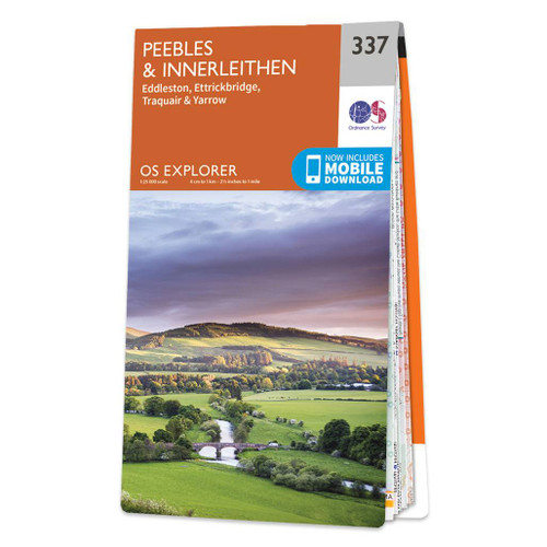
- Peebles & Interleithen - Eddleston, Ettrickbridge, Traquair & Yarrow OS Explorer Map 337 (paper)
- Peebles, Interleithen, Eddleston, Ettrickbridge, Traquair and Yarrow area on a detailed topographic and GPS compatible map No. 337, paper version, from the Ordnance Survey’s 1:25,000 Explorer series. MOBILE DOWNLOADS: this title and all the other OS Explorer maps include a code for downloading after purchase the digital version onto your... Read more