- Also available from:
- De Zwerver, Netherlands
- Stanfords, United Kingdom

Stanfords
United Kingdom
2021
United Kingdom
2021
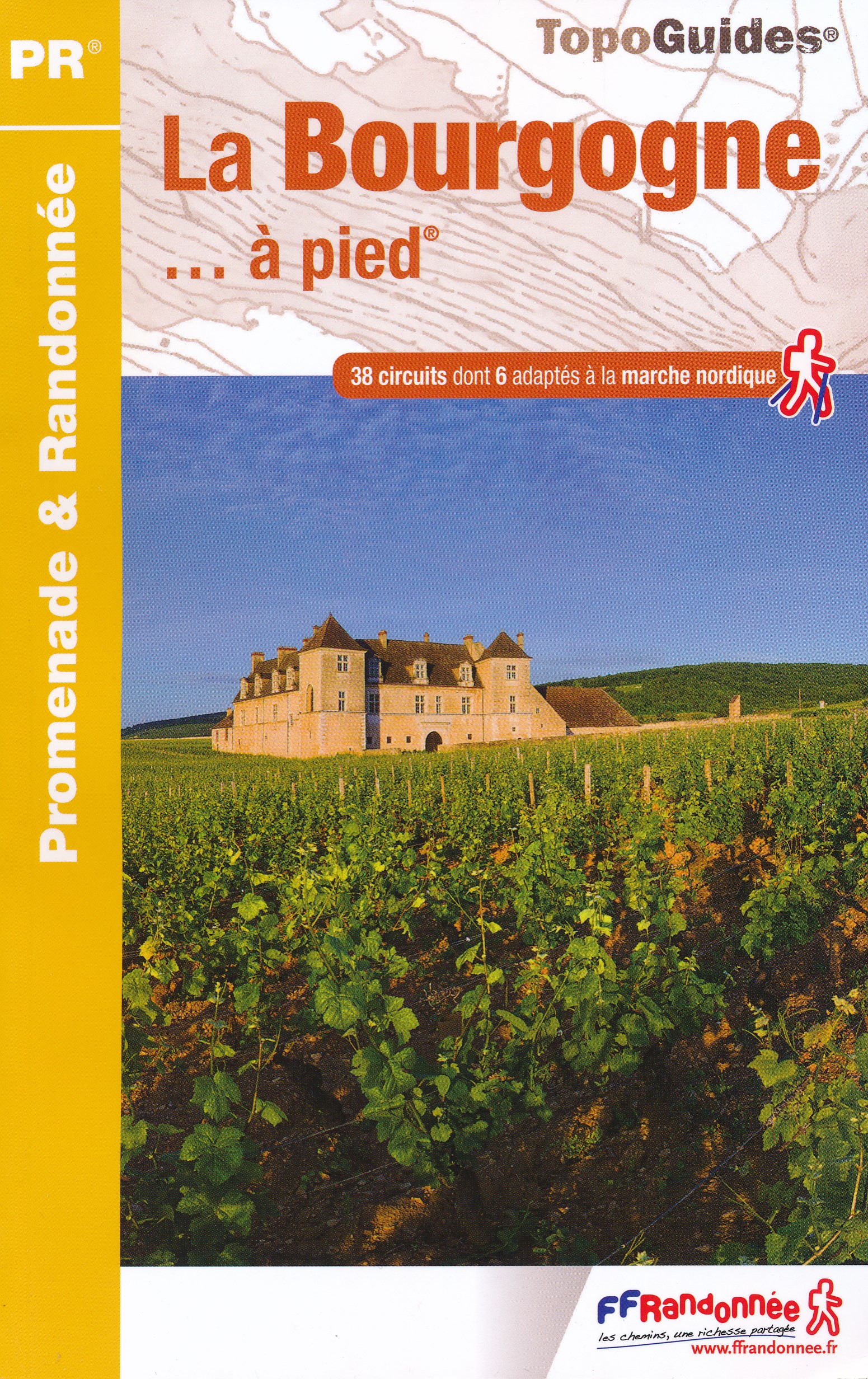
- La Bourgogne à pied
- La Bourgogne à pied, FFRP Topo-guide Ref. No. RE14, with 40 day walks of varying length and difficulty in Burgundy, including near Dijon, Beaune, Morvan Regional Park, etc. Current edition of this title was published in March 2016.To see the list of other FFRP guides with day walks please click on the series link.ABOUT THE FFRP (Fédération... Read more