The Book Depository
United Kingdom
2020
United Kingdom
2020
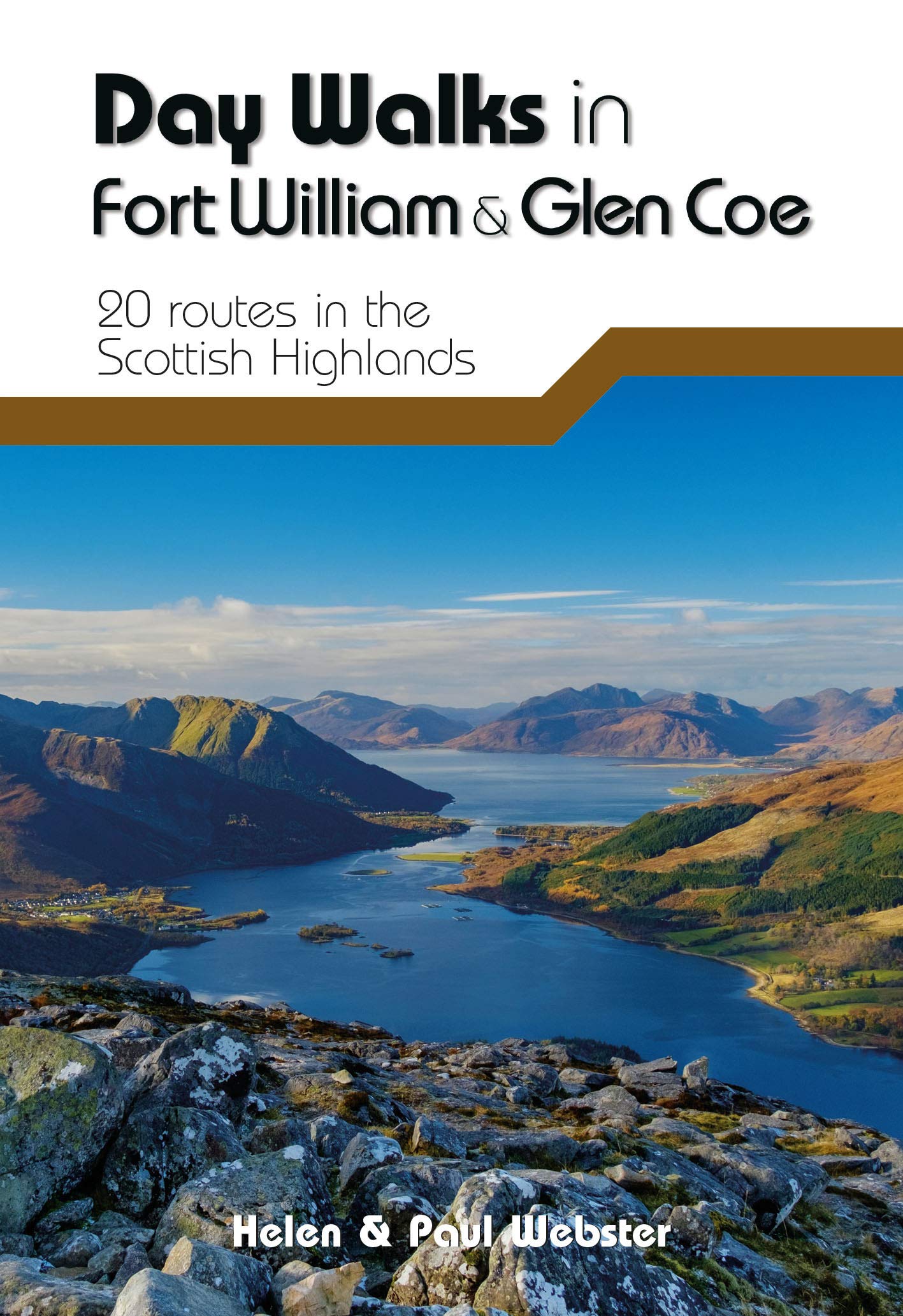
- Day Walks in Fort William & Glen Coe
- 20 routes in the Scottish Highlands Read more
- Also available from:
- De Zwerver, Netherlands
- Stanfords, United Kingdom
De Zwerver
Netherlands
2020
Netherlands
2020
- Wandelgids Day Walks in Fort William and Glen Coe | Vertebrate Publishing
- Day Walks in Fort William & Glen Coe features 20 routes between 4.4 and 14.4 miles (7km and 23.2km) in length, spread across the Scottish Highlands. Researched and written by experienced and knowledgeable authors Helen and Paul Webster, founders of the Walkhighlands website, the walks range from gentle rambles to more challenging day walks, all... Read more

Stanfords
United Kingdom
2020
United Kingdom
2020
- Day Walks in Fort William & Glen Coe
- Day Walks in Fort William & Glen Coe features 20 routes between 4.4 and 14.4 miles (7km and 23.2km) in length, spread across the Scottish Highlands. Researched and written by experienced and knowledgeable authors Helen and Paul Webster, founders of the Walkhighlands website, the walks range from gentle rambles to more challenging day walks, all... Read more