The Book Depository
United Kingdom
2013
United Kingdom
2013
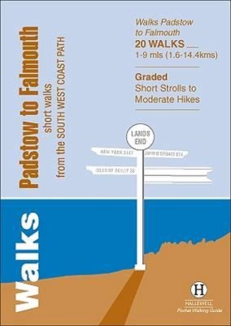
- Walks Padstow to Falmouth
- Short Walks from the South West Coast Path Read more
- Also available from:
- De Zwerver, Netherlands
De Zwerver
Netherlands
2013
Netherlands
2013
- Wandelgids Padstow to Falmouth | Hallewell Publications
- Short Walks from the South West Coast Path Read more