The Book Depository
United Kingdom
» Click to open
Stanfords
United Kingdom
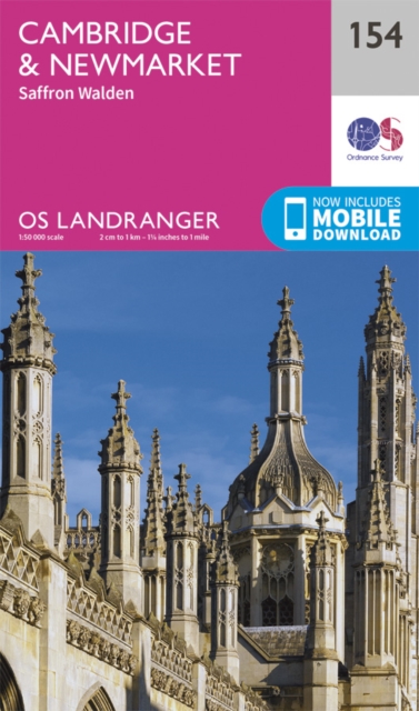
  • Cambridge - Newmarket, Saffron Walden OS Landranger 154
  • Parts of Cambridgeshire, Suffolk and Essex with Cambridge, Newmarket and Saffron Walden, including part of the E2 European Long-distance path, on a paper version of map No. 154 from the Ordnance Survey’s Landranger series at 1:50,000, with contoured and GPS compatible topographic mapping plus tourist information.MOBILE DOWNLOADS: As well as the... Read more
» Click to close
The Book Depository
United Kingdom
2021
» Click to open
De Zwerver
Netherlands
2021
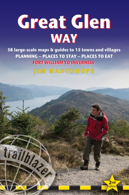
  • Wandelgids Great Glen Way | Trailblazer Guides
  • All-in-one, practical guide to walking the Great Glen Way long-distance footpath. The trail begins where the West Highland Way ends - at Fort William - and follows the Great Glen faultline to finish at Inverness after 79 miles (127km). The trail passes Loch Lochy, Loch Oich and Loch Ness and also follows the towpath of the Caledonian Canal.... Read more
Stanfords
United Kingdom
2021
» Click to close
The Book Depository
United Kingdom
» Click to open
Stanfords
United Kingdom
  • Cowal East - Dunoon & Inveraray OS Explorer Active Map OL37 (waterproof)
  • Cowal East area of central Scotland on a detailed topographic and GPS compatible map OL37, waterproof version, from the Ordnance Survey’s 1:25,000 Explorer series. Coverage includes a section of the Loch Lomond and The Trossachs National Park with parts of the Queen Elizabeth Forest Park and the Argyll Forest Park, Dunoon, Inveraray, Loch Long,... Read more
» Click to close
The Book Depository
United Kingdom
2021
» Click to open
De Zwerver
Netherlands
2021
» Click to close
The Book Depository
United Kingdom
» Click to open
Stanfords
United Kingdom
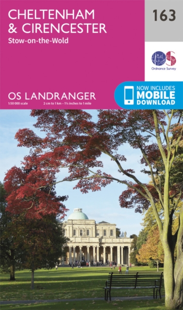
  • Cheltenham, Cirencester & Stow-on-the-Wold OS Landranger Map 163 (paper)
  • Cheltenham and Cirencester area, including sections of the Thames Path, the Cotswold Way and the E2 European Long-distance Path, on a paper version of map No. 163 from the Ordnance Survey’s Landranger series at 1:50,000, with contoured and GPS compatible topographic mapping plus tourist information.MOBILE DOWNLOADS: As well as the physical... Read more
» Click to close
The Book Depository
United Kingdom
» Click to open
Stanfords
United Kingdom
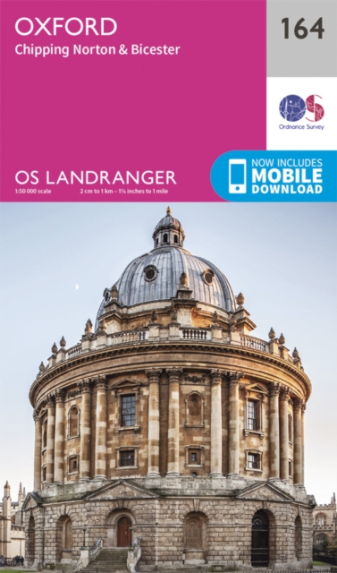
  • Oxford, Chipping Norton & Bicester OS Landranger Map 164 (paper)
  • Oxford area, including sections of the Thames Path and the E2 European Long-distance Path, on a paper version of map No. 164 from the Ordnance Survey’s Landranger series at 1:50,000, with contoured and GPS compatible topographic mapping plus tourist information.MOBILE DOWNLOADS: As well as the physical edition of the map, each Landranger title... Read more
» Click to close
The Book Depository
United Kingdom
» Click to open
Stanfords
United Kingdom
» Click to close
The Book Depository
United Kingdom
» Click to open
Stanfords
United Kingdom
» Click to close
The Book Depository
United Kingdom
2018
» Click to open
Stanfords
United Kingdom
2018
» Click to close
The Book Depository
United Kingdom
» Click to open
Stanfords
United Kingdom
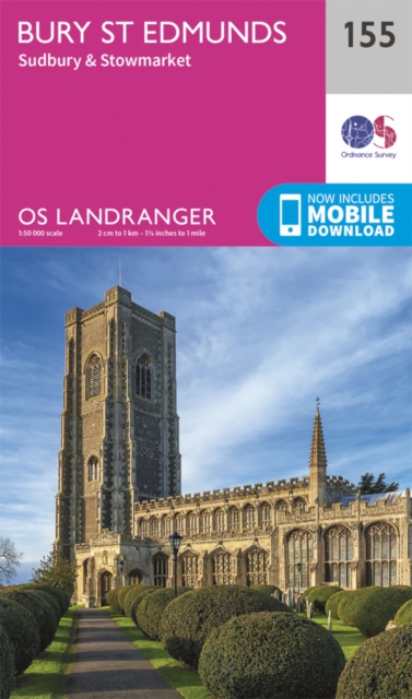
  • Bury St Edmunds, Sudbury & Stowmarket OS Landranger Map 155 (paper)
  • Suffolk around Bury St Edmunds, Sudbury and Stowmarket, including part of the E2 European Long-distance path, on a paper version of map No. 155 from the Ordnance Survey’s Landranger series at 1:50,000, with contoured and GPS compatible topographic mapping plus tourist information.MOBILE DOWNLOADS: As well as the physical edition of the map,... Read more
» Click to close
The Book Depository
United Kingdom
» Click to open
Stanfords
United Kingdom
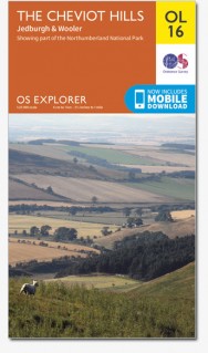
  • Cheviot Hills - Jedburgh & Wooler OS Explorer Map OL16 (paper)
  • The Cheviot Hills on a detailed topographic and GPS compatible map OL16, paper version, from the Ordnance Survey’s 1:25,000 Explorer series. Coverage includes Jedburgh, Woolmer, part of the Northumberland National Park, the peaks of The Cheviot, Corby Pike, Cold Law, Scrathy Holes and Windy Gyle, Catcleugh Reservoir, sections of the Pennine Way... Read more
» Click to close
The Book Depository
United Kingdom
The Book Depository
United Kingdom
» Click to open
Stanfords
United Kingdom
» Click to close
The Book Depository
United Kingdom
2022
» Click to open
Stanfords
United Kingdom
2022
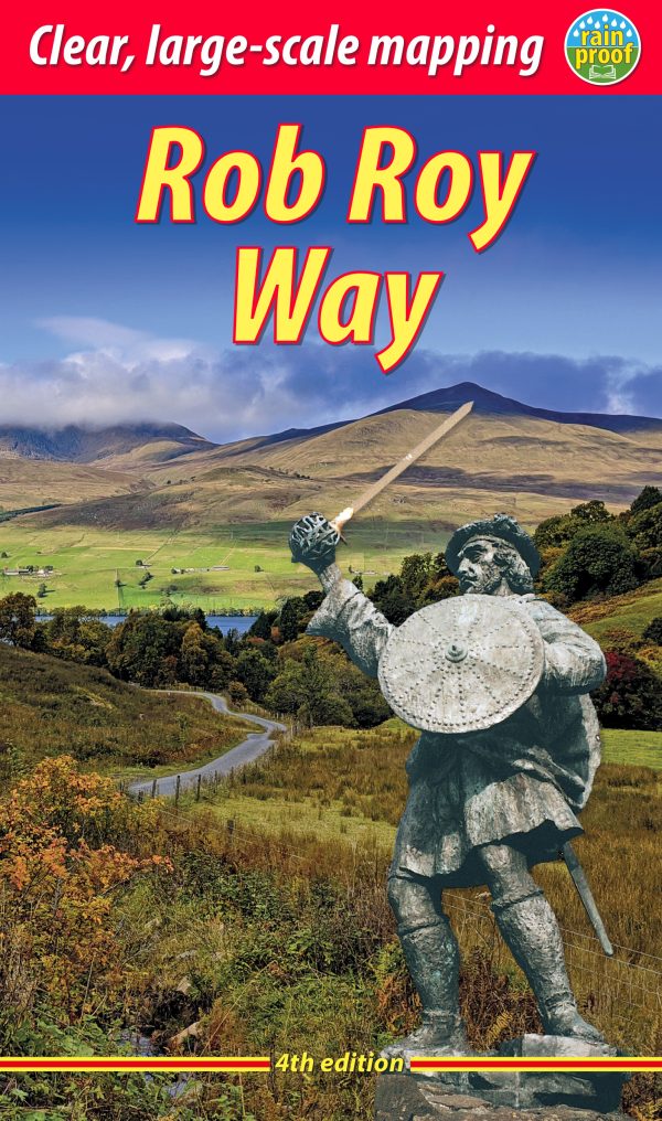
  • Rob Roy Way Rucksack Reader
  • The Rob Roy Way is one of Scotland`s Great Trails and is very popular with both walkers and cyclists. It runs through many places linked with Scotland`s most famous outlaw, Rob Roy MacGregor (1671-1734). The route starts at Drymen (near Glasgow) and ends at Pitlochry in the eastern Highlands, so it takes you away from the crowds following the... Read more
» Click to close
The Book Depository
United Kingdom
2015
» Click to open
Stanfords
United Kingdom
2015
» Click to close