The Book Depository
United Kingdom
United Kingdom
- Crystal Basin/silver Fork/eldorado National Forest
- Trails Illustrated Other Rec. Areas Read more
- Also available from:
- Stanfords, United Kingdom
- Bol.com, Netherlands
- Bol.com, Belgium

Stanfords
United Kingdom
United Kingdom
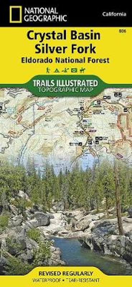
- Crystal Basin - Silver Fork - Eldorado National Forest CA
- Map No. 806, Crystal Basin / Silver Fork / Eldorado National Forest, CA, in an extensive series of GPS compatible, contoured hiking maps of USA’s national and state parks or forests and other popular recreational areas. Cartography based on the national topographic survey, with additional tourist information.The maps, with most titles now... Read more
Bol.com
Netherlands
Netherlands
- Crystal Basin/silver Fork/eldorado National Forest
- Waterproof Tear-Resistant Topographic MapPart of our exciting new coverage for California's Central Sierra Nevada, our Crystal Basin and Silver Fork Trails Illustrated map details the high use recreation areas of Eldorado National Forest stretching from Hell Hole Reservoir and Tahoe National Forest at the North, to Salt Springs Reservoir... Read more
Bol.com
Belgium
Belgium
- Crystal Basin/silver Fork/eldorado National Forest
- Waterproof Tear-Resistant Topographic MapPart of our exciting new coverage for California's Central Sierra Nevada, our Crystal Basin and Silver Fork Trails Illustrated map details the high use recreation areas of Eldorado National Forest stretching from Hell Hole Reservoir and Tahoe National Forest at the North, to Salt Springs Reservoir... Read more