- Also available from:
- De Zwerver, Netherlands
- Stanfords, United Kingdom
De Zwerver
Netherlands
2015
Netherlands
2015

Stanfords
United Kingdom
2015
United Kingdom
2015
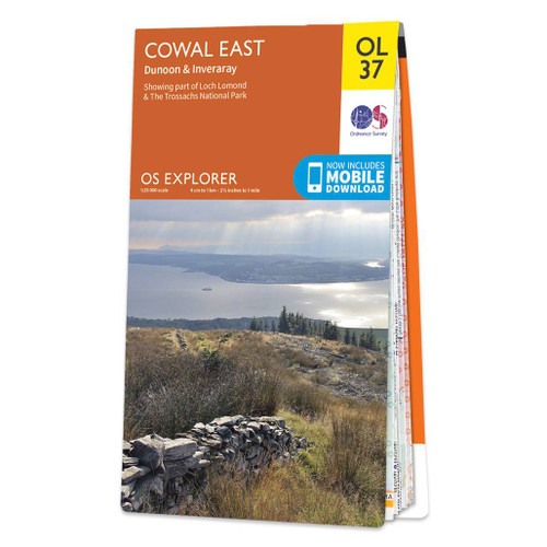
- Cowal East - Dunoon & Inveraray OS Explorer Map OL37 (paper)
- Cowal East area of central Scotland on a detailed topographic and GPS compatible map OL37, paper version, from the Ordnance Survey’s 1:25,000 Explorer series. Coverage includes a section of the Loch Lomond and The Trossachs National Park with parts of the Queen Elizabeth Forest Park and the Argyll Forest Park, Dunoon, Inveraray, Loch Long, Loch... Read more