Stanfords
United Kingdom
2021
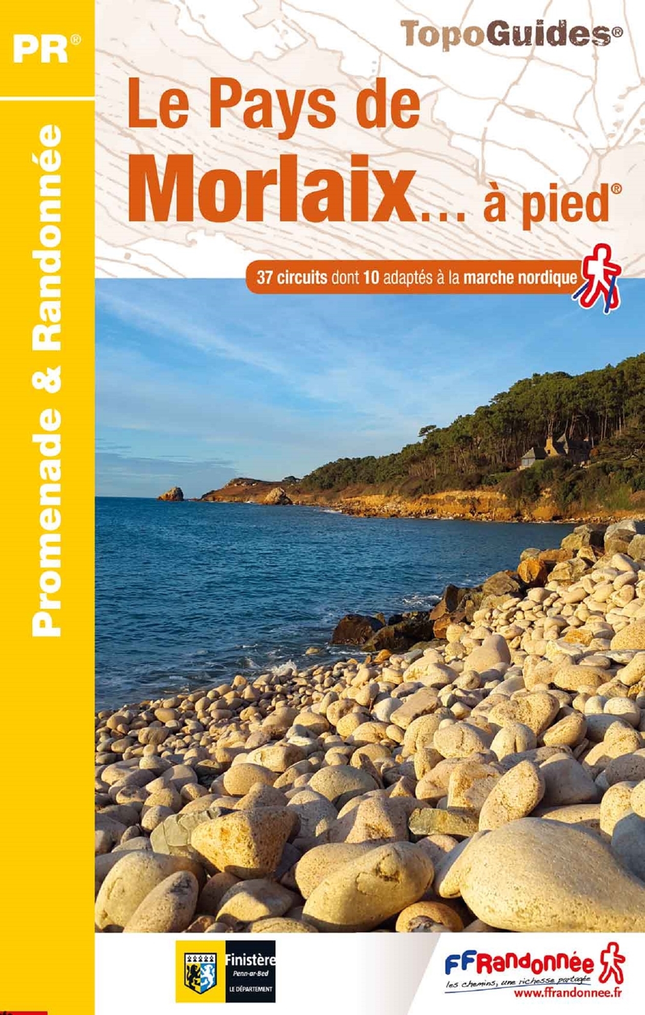
- Le Pays de Morlaix à pied
- Le Pays de Morlaix à pied, FFRP topo-guide Ref. No. P298, with 38 day walks of varying length and difficulty, plus a circular tour of this part of northern Brittany. Each walk is presented on a separate colour extract from IGN’s topographic survey of France at 1:25,000 and/or 1:50,000, with its description cross-referenced to the map. Current... Read more