The Book Depository
United Kingdom
2021
United Kingdom
2021
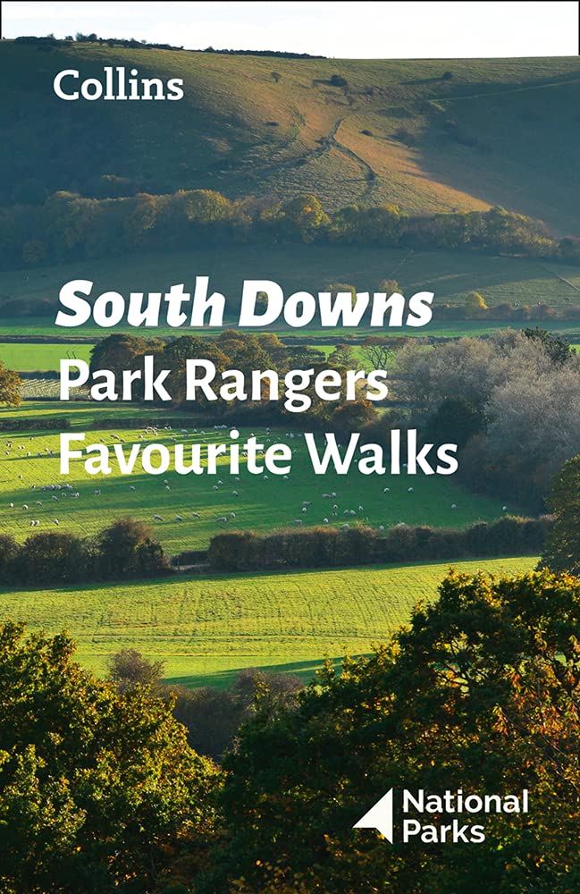
- South Downs Park Rangers Favourite Walks
- 20 of the Best Routes Chosen and Written by National Park Rangers Read more
- Also available from:
- De Zwerver, Netherlands
De Zwerver
Netherlands
2021
Netherlands
2021
- Wandelgids Park Rangers Favourite Walks South Downs | Collins
- Walking guide to the South Downs National Park, with 20 best routes chosen by the park rangers. Each walk varies in length from 2 to 10 km and can be completed in less than 4 hours. 20 best routes chosen and written by National Park rangers Walks from 2 to 10kmDetailed description for each walk with highlights clearly marked... Read more