Bol.com
Netherlands
Netherlands
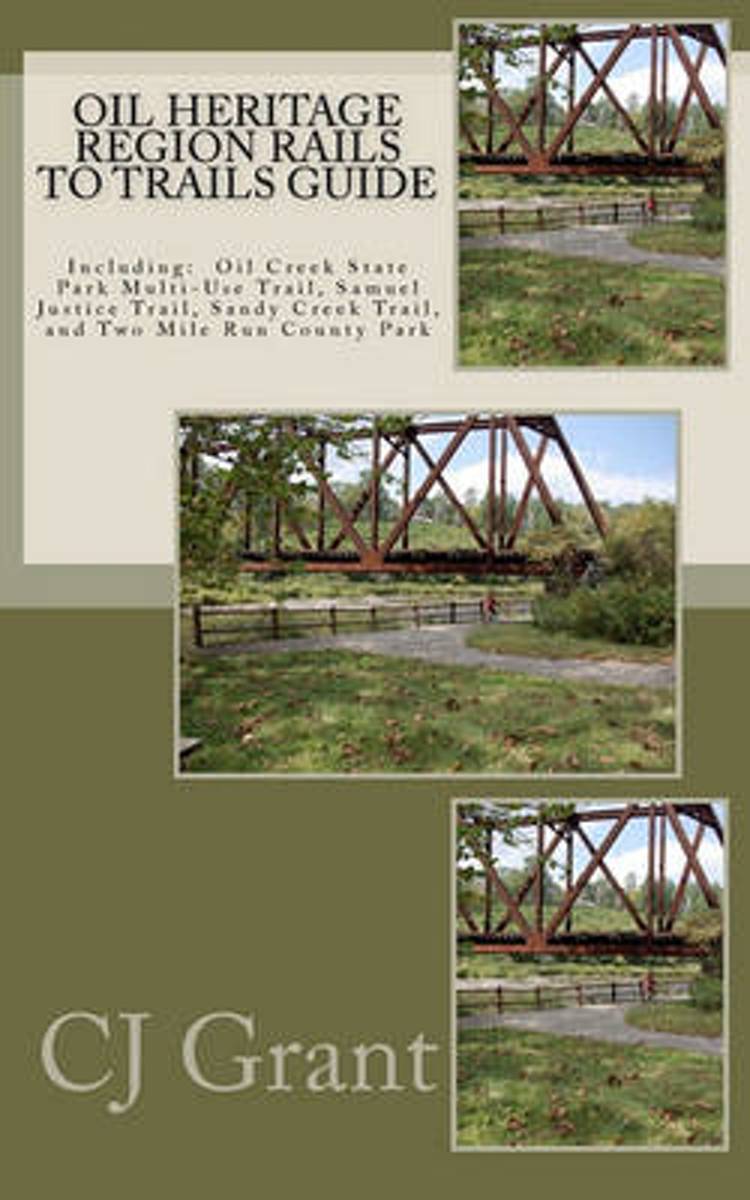
- Oil Heritage Region Rails to Trails Guide
- Includes: Oil Creek State Park Trail Guide, Samuel Justice Trail Guide, Sandy Creek Trail Guide, Sandy Creek Segments of The North Country Trail, and Two Mile Run County Park Guide. Also offers GPS Coordiinates for camping areas and points of interest along the routes. Endorsed by Oil Creek State Park Manager Jake Weiland Read more
- Also available from:
- Bol.com, Belgium
Bol.com
Belgium
Belgium
- Oil Heritage Region Rails to Trails Guide
- Includes: Oil Creek State Park Trail Guide, Samuel Justice Trail Guide, Sandy Creek Trail Guide, Sandy Creek Segments of The North Country Trail, and Two Mile Run County Park Guide. Also offers GPS Coordiinates for camping areas and points of interest along the routes. Endorsed by Oil Creek State Park Manager Jake Weiland Read more