The Book Depository
United Kingdom
» Click to open
Stanfords
United Kingdom
  • Guide to North Yorkshire Pub Walks
  • Discover the beautiful countryside around North Yorkshire with this guide to some of the best walks in the county. The 20 circular routes vary in length from 3 to 8 miles and are each centred on a broad variety of welcoming pubs recommended for their good food. Explore the meadows and woodland around Forge Valley and Grosmont, the waterfalls at... Read more
» Click to close
The Book Depository
United Kingdom
2017
» Click to open
» Click to close
The Book Depository
United Kingdom
2015
» Click to open
Stanfords
United Kingdom
2015
» Click to close
The Book Depository
United Kingdom
» Click to open
Stanfords
United Kingdom
  • Sheffield, Huddersfield, Glossop & Holmfirth OS Landranger Map 110 (paper)
  • Paper version of map No. 110 from the Ordnance Survey’s Landranger series at 1:50,000, with contoured and GPS compatible topographic mapping plus tourist information.MOBILE DOWNLOADS: As well as the physical edition of the map, each Landranger title now includes a code for downloading after purchase its digital version onto your smartphone or... Read more
» Click to close
The Book Depository
United Kingdom
The Book Depository
United Kingdom
» Click to open
Stanfords
United Kingdom
» Click to close
The Book Depository
United Kingdom
» Click to open
Stanfords
United Kingdom
  • Market Weighton, Goole & Stamford Bridge OS Landranger Map 106 (paper)
  • Paper version of map No. 106 from the Ordnance Survey’s Landranger series at 1:50,000, with contoured and GPS compatible topographic mapping plus tourist information.MOBILE DOWNLOADS: As well as the physical edition of the map, each Landranger title now includes a code for downloading after purchase its digital version onto your smartphone or... Read more
» Click to close
The Book Depository
United Kingdom
» Click to open
» Click to close
The Book Depository
United Kingdom
» Click to open
Stanfords
United Kingdom
» Click to close
The Book Depository
United Kingdom
» Click to open
Stanfords
United Kingdom
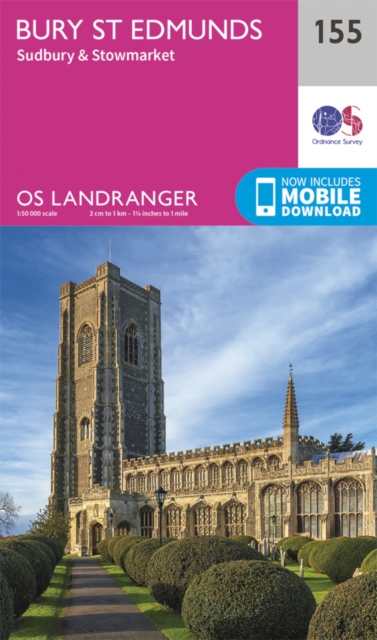
  • Bury St Edmunds, Sudbury & Stowmarket OS Landranger Map 155 (paper)
  • Suffolk around Bury St Edmunds, Sudbury and Stowmarket, including part of the E2 European Long-distance path, on a paper version of map No. 155 from the Ordnance Survey’s Landranger series at 1:50,000, with contoured and GPS compatible topographic mapping plus tourist information.MOBILE DOWNLOADS: As well as the physical edition of the map,... Read more
» Click to close
The Book Depository
United Kingdom
2015
» Click to open
Stanfords
United Kingdom
2015
» Click to close
The Book Depository
United Kingdom
» Click to open
Stanfords
United Kingdom
  • Settle Walks
  • Small map from Harvey highlighting 8 walks in the Settle area of the Yorkshire Dales, at 1:25,000. Cartography shows the eight routes with bold colours overprinted on the mapping and detailed descriptions for each walk including along the map edge. Points of interest and local facilities such as tea shops, accommodation, toilets, bus stops and... Read more
» Click to close
The Book Depository
United Kingdom
» Click to open
Stanfords
United Kingdom
» Click to close
The Book Depository
United Kingdom
2016
» Click to open
Stanfords
United Kingdom
2016
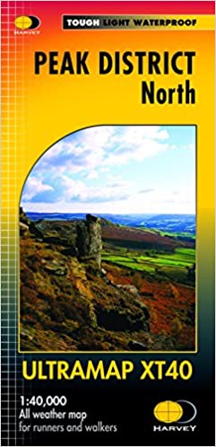
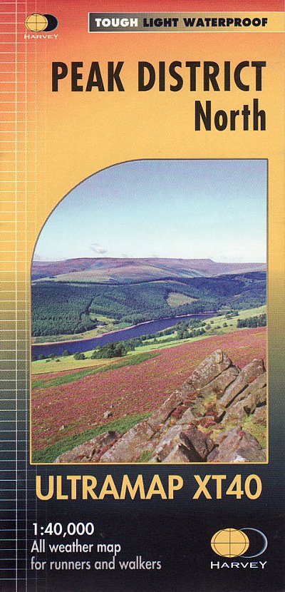
  • Peak District North Harvey Ultramap XT40
  • The northern part of the Peak District at 1:40,000 on a waterproof and tear-resistant, pocket-size Ultramap from Harvey Map Services with the same cartography as their Superwalker map of this area. Coverage extends from Marsden and Holmbridge in the north to beyond Glossop in the south, and includes the Bottoms / Valehouse / Rhodeswood /... Read more
» Click to close
The Book Depository
United Kingdom
» Click to open
Stanfords
United Kingdom
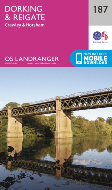
  • Dorking, Reigate, Crawley & Horsham OS Landranger Map 187 (paper)
  • Dorking and Reigate area, including a section of the North Downs Way / E2 European Long-distance Path, on a paper version of map No. 187 from the Ordnance Survey’s Landranger series at 1:50,000, with contoured and GPS compatible topographic mapping plus tourist information.MOBILE DOWNLOADS: As well as the physical edition of the map, each... Read more
» Click to close