The Book Depository
United Kingdom
2020
» Click to open
De Zwerver
Netherlands
2020
  • Wandelgids 
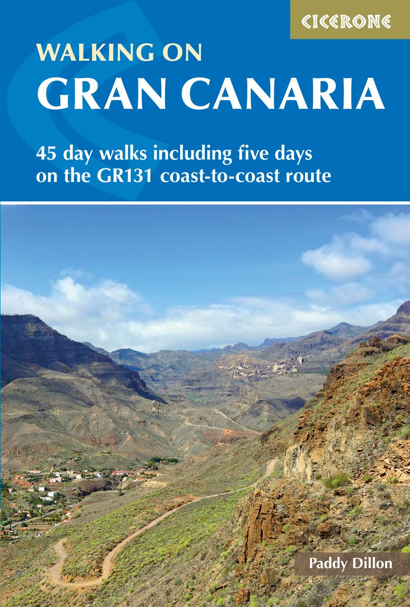
Walking on Gran Canaria | Cicerone
  • Guidebook describing 45 day walks on Gran Canaria, generally averaging 10 to 12km each. A long-distance coast-to-coast route on the GR131 is included, and shorter walks can be linked to form longer itineraries. One of the larger Canary Islands, Gran Canaria is a popular destination but offers many peaceful, rural areas perfect for walking. Read more
Stanfords
United Kingdom
2020
» Click to close
The Book Depository
United Kingdom
2020
» Click to open
Stanfords
United Kingdom
2020
  • Walking on La Gomera and El Hierro: 45 day walks and treks for all abilities
  • Walking guide to the islands of La Gomera and El Hierro. The 45 waymarked routes in this guidebook include easy strolls and hands-on scrambles, day walks and long-distance routes including the GR132 and parts of the GR131, which runs the whole length of the Canary Islands. Walks are spread in the guide roughly clockwise and where walks are... Read more
» Click to close
The Book Depository
United Kingdom
2019
» Click to open
De Zwerver
Netherlands
2019
  • Wandelgids Walking on La Palma | Cicerone
  • Guidebook to 45 walks and scrambles on La Palma in the Canary Islands, ranging from 7 to 31km. Some walks combine to complete the GR130 long-distance trail (eight days) and GR131 trail (three days). Areas explored include Santa Cruz and Buenavista. Contains a Spanish-English glossary. Read more
Stanfords
United Kingdom
2019
  • Walking on La Palma: Including the GR130 and GR131 long-distance trails
  • Guide to walking on La Palma. In total 45 day walks are described ranging from 7 to 32km in length, and covering a wide variety of terrain. Although La Palma is one of the smaller Canary Islands, there are routes of all types from easy strolls to hands-on scrambling, from simple day walks to long-distance treks on rocky mountain paths,... Read more
» Click to close
The Book Depository
United Kingdom
2021
» Click to open
Stanfords
United Kingdom
2021
  • La Bourgogne à pied
  • La Bourgogne à pied, FFRP Topo-guide Ref. No. RE14, with 40 day walks of varying length and difficulty in Burgundy, including near Dijon, Beaune, Morvan Regional Park, etc. Current edition of this title was published in March 2016.To see the list of other FFRP guides with day walks please click on the series link.ABOUT THE FFRP (Fédération... Read more
» Click to close
The Book Depository
United Kingdom
2018
» Click to open
» Click to close
The Book Depository
United Kingdom
2023
» Click to open
De Zwerver
Netherlands
2023
» Click to close
The Book Depository
United Kingdom
2019
» Click to open
De Zwerver
Netherlands
2019
Stanfords
United Kingdom
2019
  • Trekking in the Canary Islands: The GR131 island-hopping route
  • This guidebook provides a comprehensive and detailed description of the GR131, an island-hopping trail across the seven Canary Islands. The 560km (348 mile) route begins on Lanzarote and finishes on El Hierro and is presented in 32 daily stages. The route is well waymarked but some navigational skills are required, and the remote and occasional... Read more
» Click to close
De Zwerver
Netherlands
2015
» Click to open
Stanfords
United Kingdom
2015
  • GR654 Sentier St-Jacques: Perigueux - Roncevaux FFRP Topo-guide No. 6543
  • Sentier St-Jacques: Perigueux - Roncevaux, FFRP topoguide Ref. no. 6543, covering the second part of the Way of St James route along the GR654 which starts in Vézelay, the section from Perigueux to the Pyrenees. Also covered is an eastern route from Bergerac to Montréal-de-Gers. Current edition of this title was published in June 2014.ABOUT THE... Read more
» Click to close
De Zwerver
Netherlands
2019
De Zwerver
Netherlands
2016
De Zwerver
Netherlands
2019
De Zwerver
Netherlands
2021
De Zwerver
Netherlands
2019
De Zwerver
Netherlands
2024
De Zwerver
Netherlands
» Click to open
Stanfords
United Kingdom
  • La Charite-sur-Loire - Suilly-la-Tour IGN 25K Série Bleue Map 2523SB
  • Topographic survey of France at 1:25,000 in IGN`s excellent TOP25 / Série Bleue series. All the maps are GPS compatible, with a 1km UTM grid plus latitude and longitude lines at 5’ intervals. Contours are at 5m intervals except for mountainous areas where the maps have contours at 10m intervals, vividly enhanced by hill shading and graphics for... Read more
» Click to close