The Book Depository
United Kingdom
2019
» Click to open
» Click to close
The Book Depository
United Kingdom
2016
» Click to open
Stanfords
United Kingdom
2016
  • North York Moors Western OS Explorer Map OL26 (paper)
  • The western part of the North York Moors National Park on a detailed topographic and GPS compatible map OL26, paper version, from the Ordnance Survey’s 1:25,000 Explorer series. Coverage extends from Ampleforth in the south northwards to Saltburn-by-the-Sea, and from Ingleby Arncliffe to Danby, Castleton and Hutton-le-Hole, and includes... Read more
» Click to close
The Book Depository
United Kingdom
2019
» Click to open
Stanfords
United Kingdom
2019
  • Cleveland Way: North York Moors - Helmsley to Filey
  • All-in-one, practical guide to walking Cleveland Way National Trail, in the beautiful, wild countryside of the North York Moors National Park in northern England. The 110-mile route runs from Helmsley near Thirsk around the western edge of the park to reach the coast at Saltburn-by-the-Sea. It then continues along the eastern edge of the park... Read more
» Click to close
The Book Depository
United Kingdom
2016
» Click to open
Stanfords
United Kingdom
2016
  • North York Moors Eastern OS Explorer Map OL27 (paper)
  • The eastern part of the North York Moors National Park on a detailed topographic and GPS compatible map OL27, paper version, from the Ordnance Survey’s 1:25,000 Explorer series. Coverage along the coast extends from Scarborough across Robin Hood’s Bay and Whitby to beyond Staithnes, inland to Danby, Rosedale Moor and Hartoft End, and includes... Read more
» Click to close
The Book Depository
United Kingdom
The Book Depository
United Kingdom
» Click to open
Stanfords
United Kingdom
  • North York Moors Eastern OS Explorer Active Map OL27 (waterproof)
  • The eastern part of the North York Moors National Park on a detailed topographic and GPS compatible map OL27, waterproof version, from the Ordnance Survey’s 1:25,000 Explorer series. Coverage along the coast extends from Scarborough across Robin Hood’s Bay and Whitby to beyond Staithnes, inland to Danby, Rosedale Moor and Hartoft End, and... Read more
» Click to close
The Book Depository
United Kingdom
De Zwerver
Netherlands
2023
De Zwerver
Netherlands
2024
De Zwerver
Netherlands
2021
De Zwerver
Netherlands
2011
» Click to open
Stanfords
United Kingdom
2011
  • North York Moors Harvey British Mountain Map XT40
  • North Yorkshire Moors National Park at 1:40,000 on a GPS compatible, contoured map from Harvey Map Services printed on light, waterproof and tear-resistant synthetic paper, with a geological map of the region on the reverse, advice on safety and first aid, etc.The map covers most of the area on one side, but with the northernmost and... Read more
» Click to close
Stanfords
United Kingdom
Stanfords
United Kingdom
The Book Depository
United Kingdom
2016
» Click to open
Stanfords
United Kingdom
2016
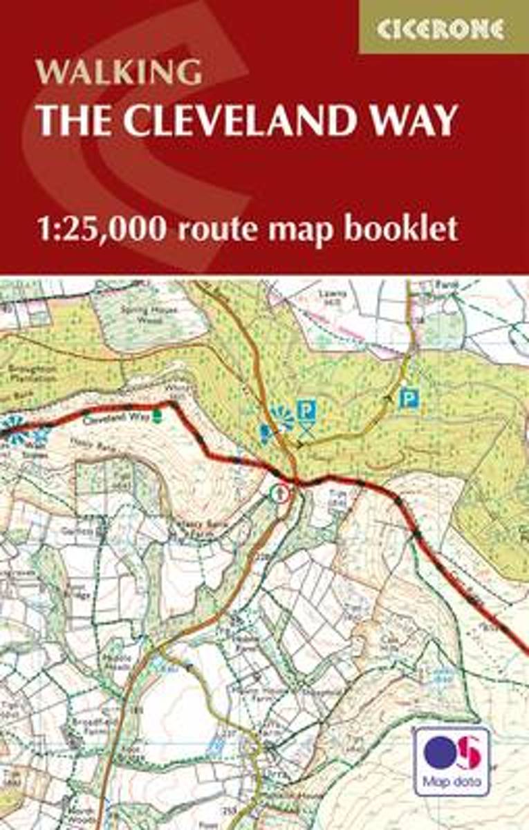
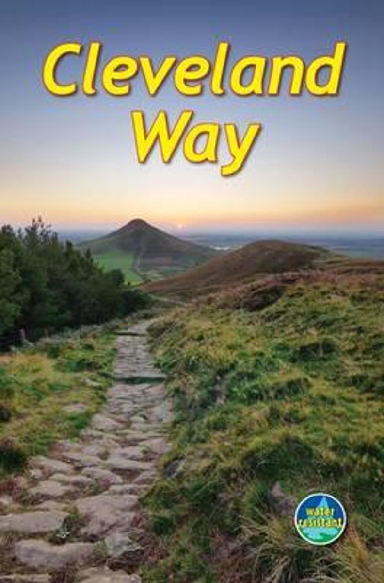
  • The Cleveland Way Cicerone Map Booklet
  • All the mapping you need to complete the Cleveland Way national trail. A long-distance route of 177 km (110 miles), giving around 9 days of easy and enjoyable walking through the North York Moors National Park, taking in open heather moorlands, gentle dales, interesting towns and villages, and dramatic cliff coastlines. This booklet of... Read more
Bol.com
Netherlands
2016
  • The Cleveland Way Map Booklet
  • All the mapping you need to complete the Cleveland Way national trail. A long-distance route of 177 km (110 miles), giving around 9 days of easy and enjoyable walking through the North York Moors National Park, taking in open heather moorlands, gentle dales, interesting towns and villages, and dramatic cliff coastlines. This booklet of Ordnance... Read more
Bol.com
Belgium
2016
  • The Cleveland Way Map Booklet
  • All the mapping you need to complete the Cleveland Way national trail. A long-distance route of 177 km (110 miles), giving around 9 days of easy and enjoyable walking through the North York Moors National Park, taking in open heather moorlands, gentle dales, interesting towns and villages, and dramatic cliff coastlines. This booklet of Ordnance... Read more
» Click to close
The Book Depository
United Kingdom
» Click to open
Bol.com
Netherlands
  • Cleveland Way
  • The Cleveland Way is one of England's oldest and best-loved National Trails. It runs for 110 miles (177 km) around the North York Moors National Park, starting inland at Helmsley, offering panoramic views over the vales of York and Mowbray and from the Cleveland Hills. After reaching the coast at Saltburn, it heads south along the dramatic sea... Read more
Bol.com
Belgium
  • Cleveland Way
  • The Cleveland Way is one of England's oldest and best-loved National Trails. It runs for 110 miles (177 km) around the North York Moors National Park, starting inland at Helmsley, offering panoramic views over the vales of York and Mowbray and from the Cleveland Hills. After reaching the coast at Saltburn, it heads south along the dramatic sea... Read more
» Click to close