The Book Depository
United Kingdom
United Kingdom
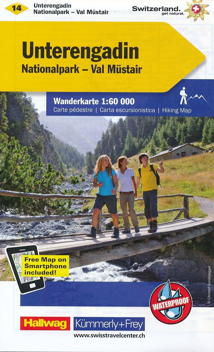
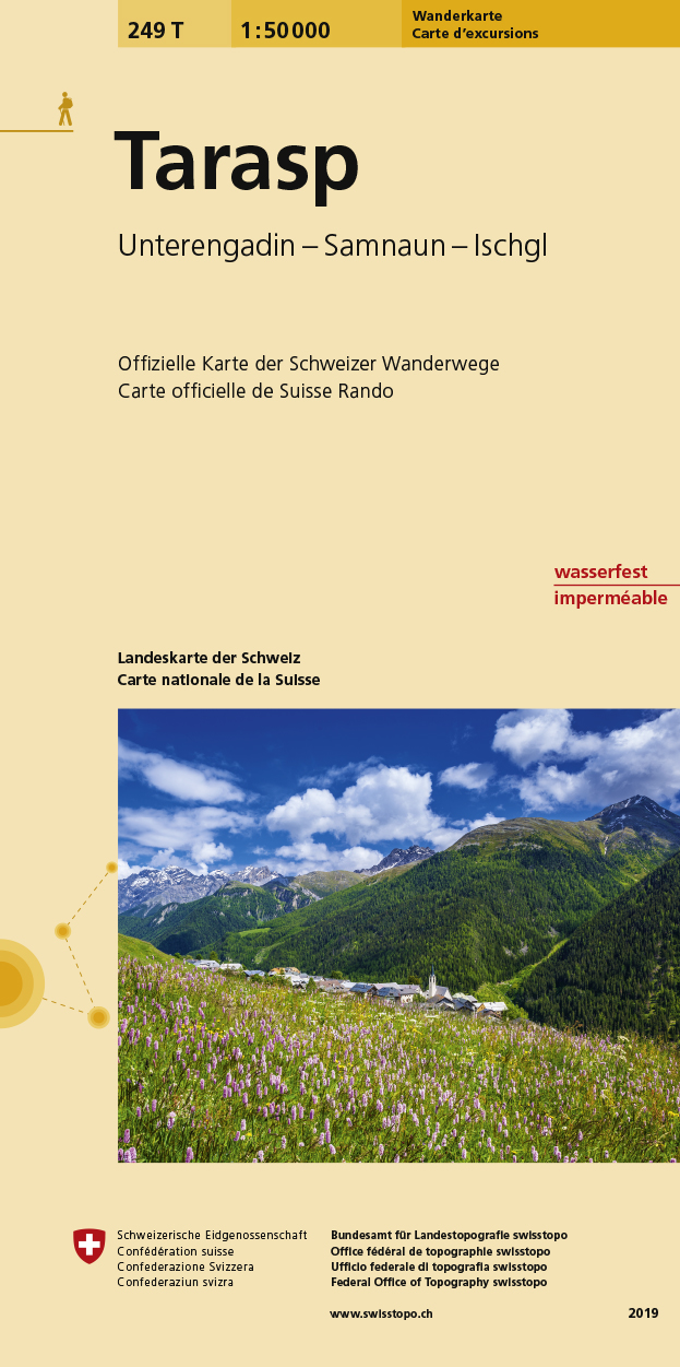
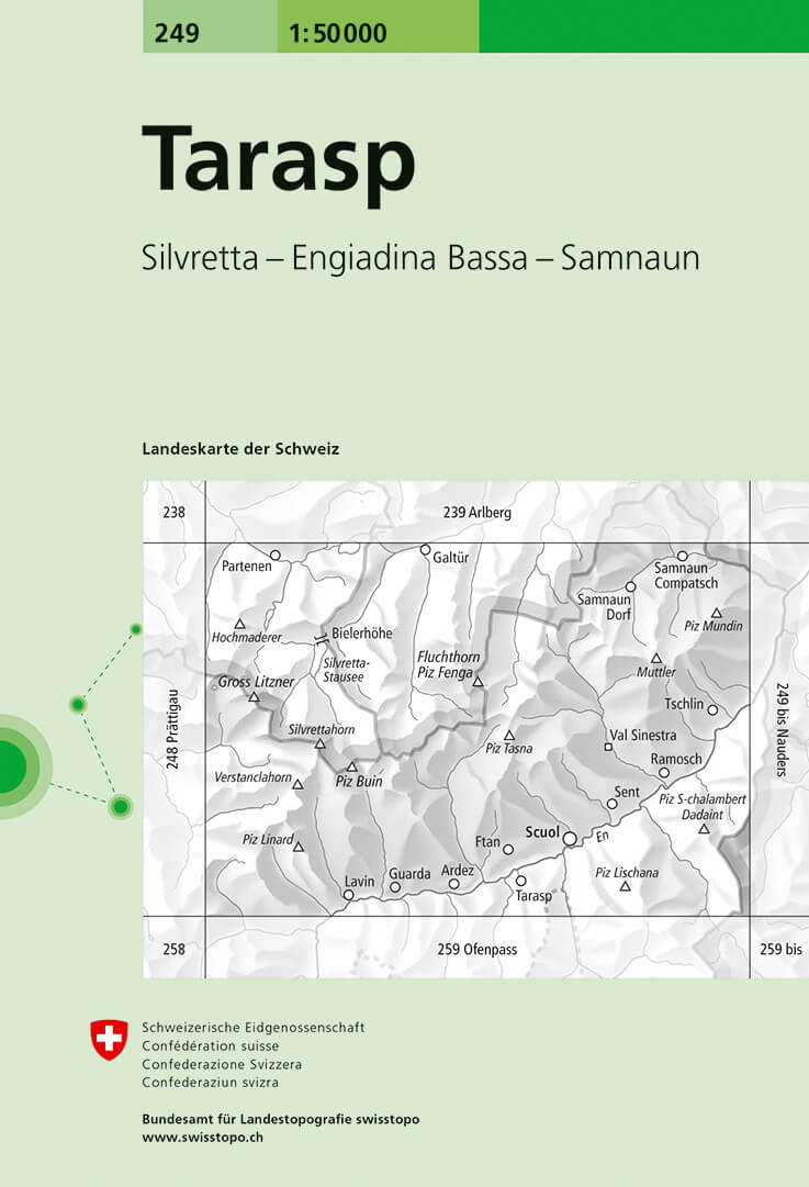
- Unterengadin / Scuol / Samnaun
- These laminated hiking maps at a scale of 1:40 000 are the ideal basis for planning a hiking tour.The precise cartography shows hiking trails including classification. Information on accommodation and restaurants, bus routes with stops, mountain railways, regional parks, sights and much more are included on the map.Thanks to the quality of the... Read more