De Zwerver
Netherlands
Netherlands
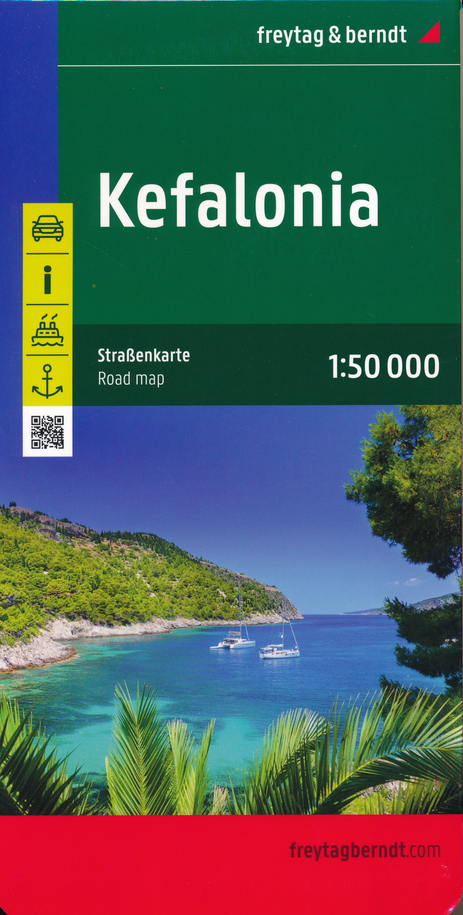
- Wandelkaart - Wegenkaart - landkaart Kefallonia - Kefalonia | Freytag & Berndt
- Kefalonia and Ithaca at 1:50,000 on a large, clear map of the two islands, plus a street plan of Argostoli. Place names are shown in both Greek and Latin alphabet. Locations of campsites and various places of interest are highlighted, and local beaches are prominently marked. Road network includes selected country paths and gives locations of... Read more
- Also available from:
- Stanfords, United Kingdom

Stanfords
United Kingdom
United Kingdom
- Kefalonia - Ithaca F&B
- Kefalonia and Ithaca at 1:50,000 on a large, clear map of the two islands, plus a street plan of Argostoli. Place names are shown in both Greek and Latin alphabet. Locations of campsites and various places of interest are highlighted, and local beaches are prominently marked. Road network includes selected country paths and gives locations of... Read more