The Book Depository
United Kingdom
United Kingdom
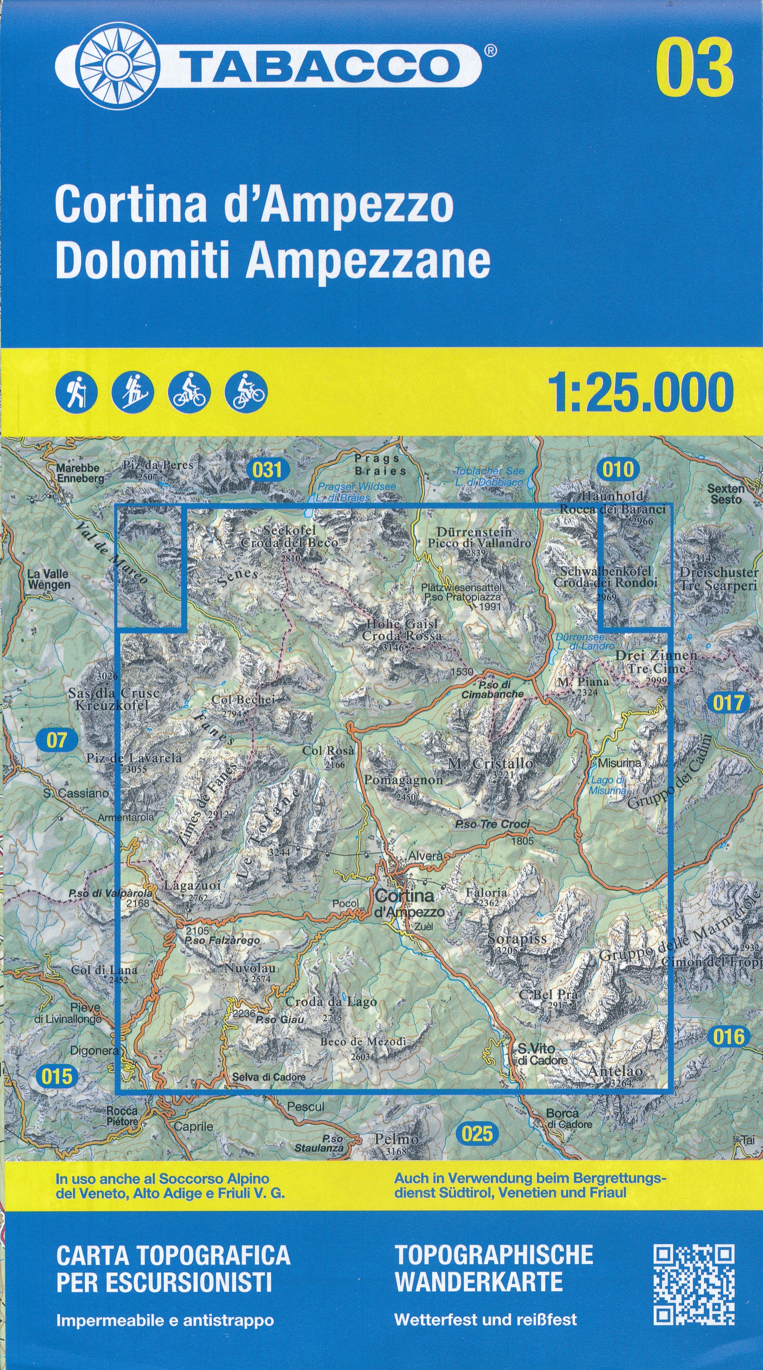
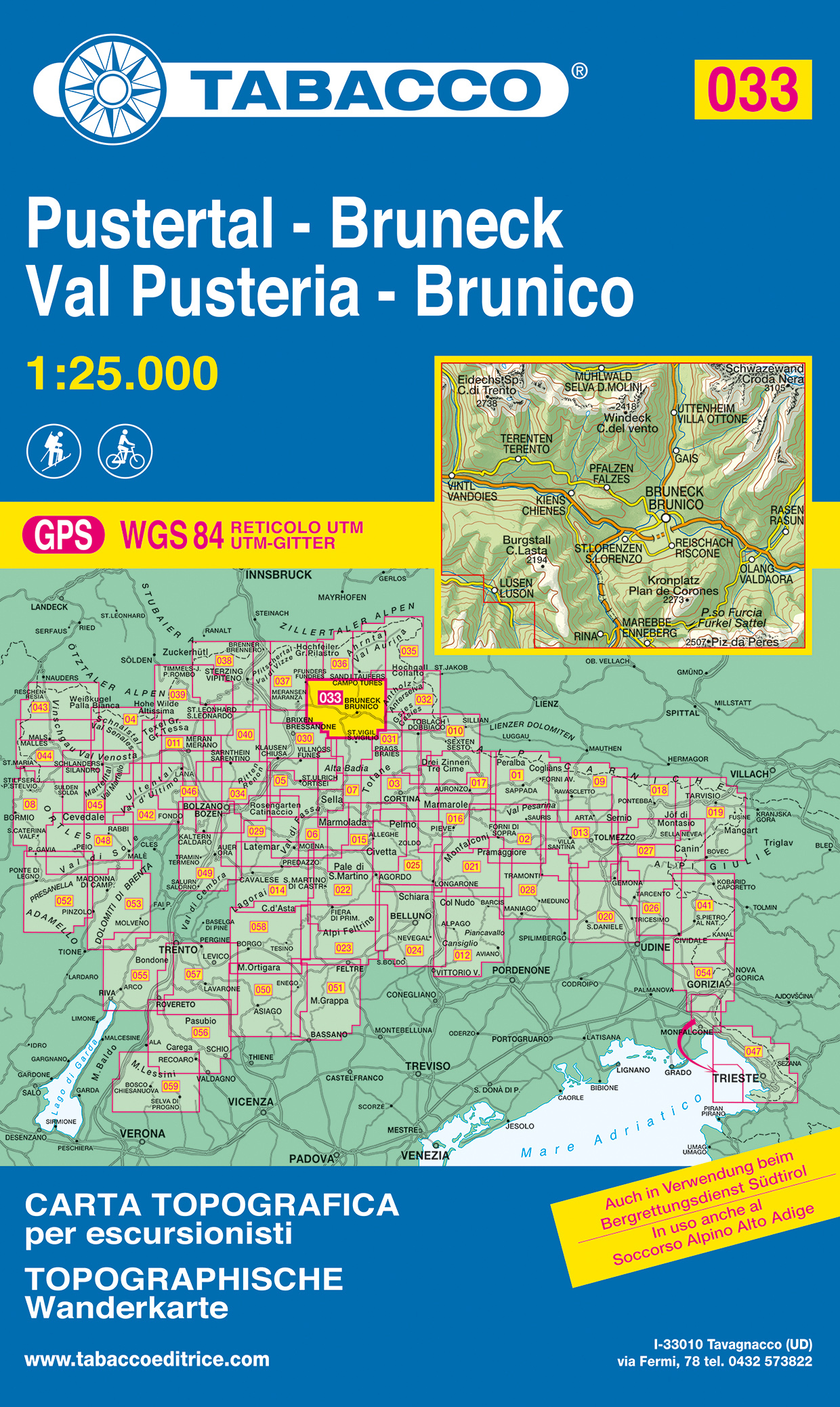
- Val Pusteria, Brunico 2017
- Val Pusteria/Pustertal - Brunico/Bruneck area in a series of Tabacco maps at 1:25,000 covering the Dolomites and the mountains of north-eastern Italy - Stanfords Read more
- Also available from:
- De Zwerver, Netherlands
- Stanfords, United Kingdom
De Zwerver
Netherlands
Netherlands
- Wandelkaart 033 Pustertal - Bruneck - Val Pusteria - Brunico | Tabacco Editrice
- Val Pusteria/Pustertal - Brunico/Bruneck area in a series of Tabacco maps at 1:25,000 covering the Dolomites and the mountains of north-eastern Italy - Stanfords Read more

Stanfords
United Kingdom
United Kingdom
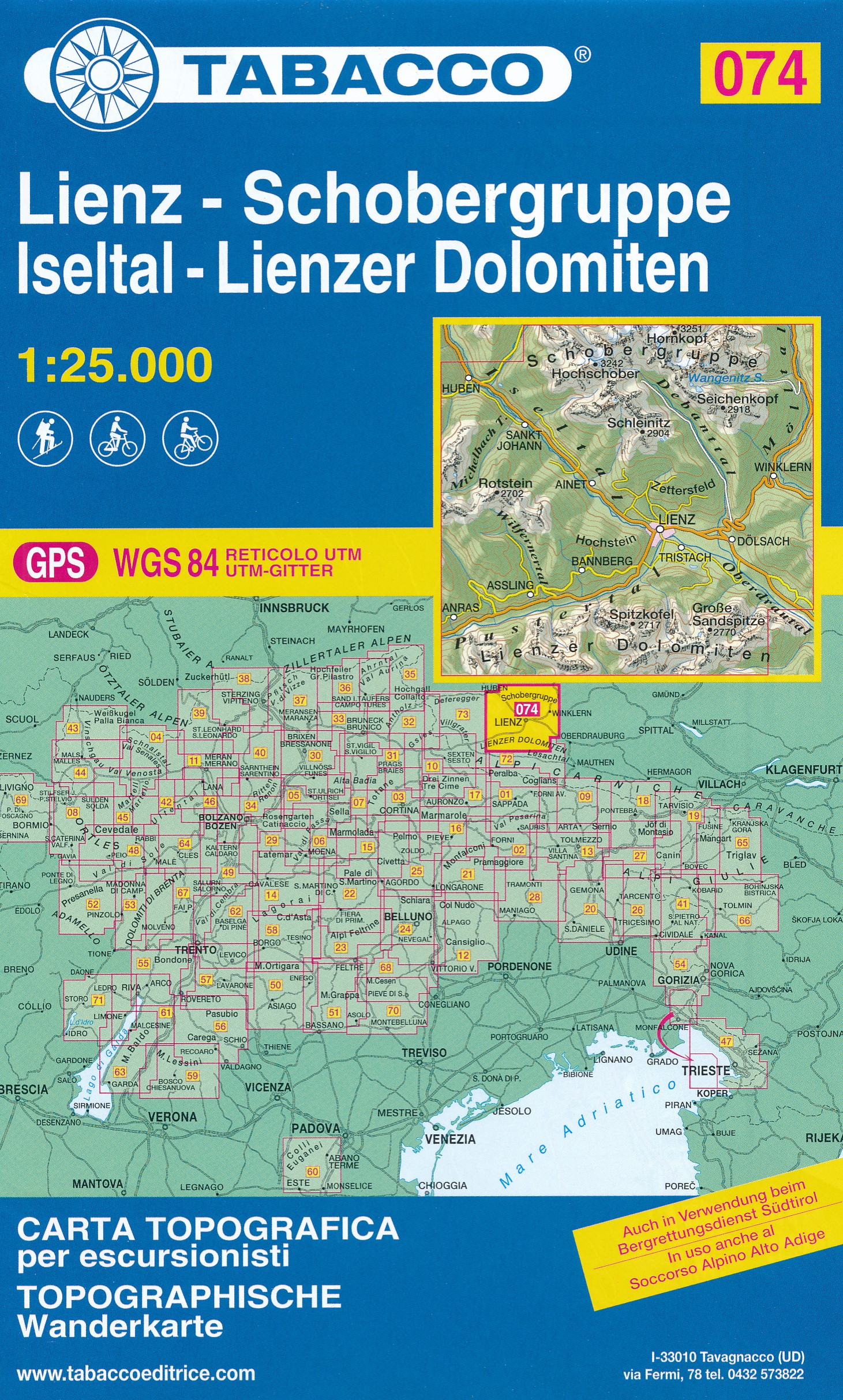
- Val Pusteria / Pustertal - Brunico / Bruneck Tabacco 033
- Val Pusteria/Pustertal - Brunico/Bruneck area in a series of Tabacco maps at 1:25,000 covering the Dolomites and the mountains of north-eastern Italy - Stanfords’ most popular coverage for this region, with excellent cartography and extensive overprint for hiking routes and other recreational activities, local bus stops, etc. Additional... Read more