Bikeline Radkarte Deutschland Dortmund und Umgebung 1 : 75 000 ab 6.9 EURO Hamm, Hagen, Arnsberg, Lippe, Ruhr, Lenne, Ruhrgebiet, Soester Börde. GPS-tauglich mit UTM-Netz, wet Bikeline Radkarte Nordrhein-WestfalenRead more
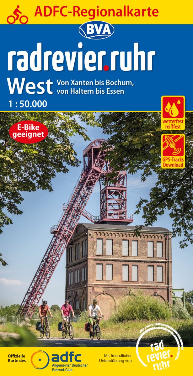
Ruhrgebiet West on a waterproof, tear-resistant, GPS compatible cycling map at 1:50,000 from the ADFC (Allgemeiner Deutscher Fahrrad-Club - the official German cycling federation), in a series of maps with extensive overprint for long-distance and local cycling routes. GPS waypoints, route profiles, details of online links for information about...Read more
The Ruhr East on a waterproof, tear-resistant, GPS compatible cycling map at 1:75,000 from the ADFC (Allgemeiner Deutscher Fahrrad-Club - the official German cycling federation), in a series of maps with extensive overprint for long-distance and local cycling routes. GPS waypoints, route profiles, details of online links for information about...Read more
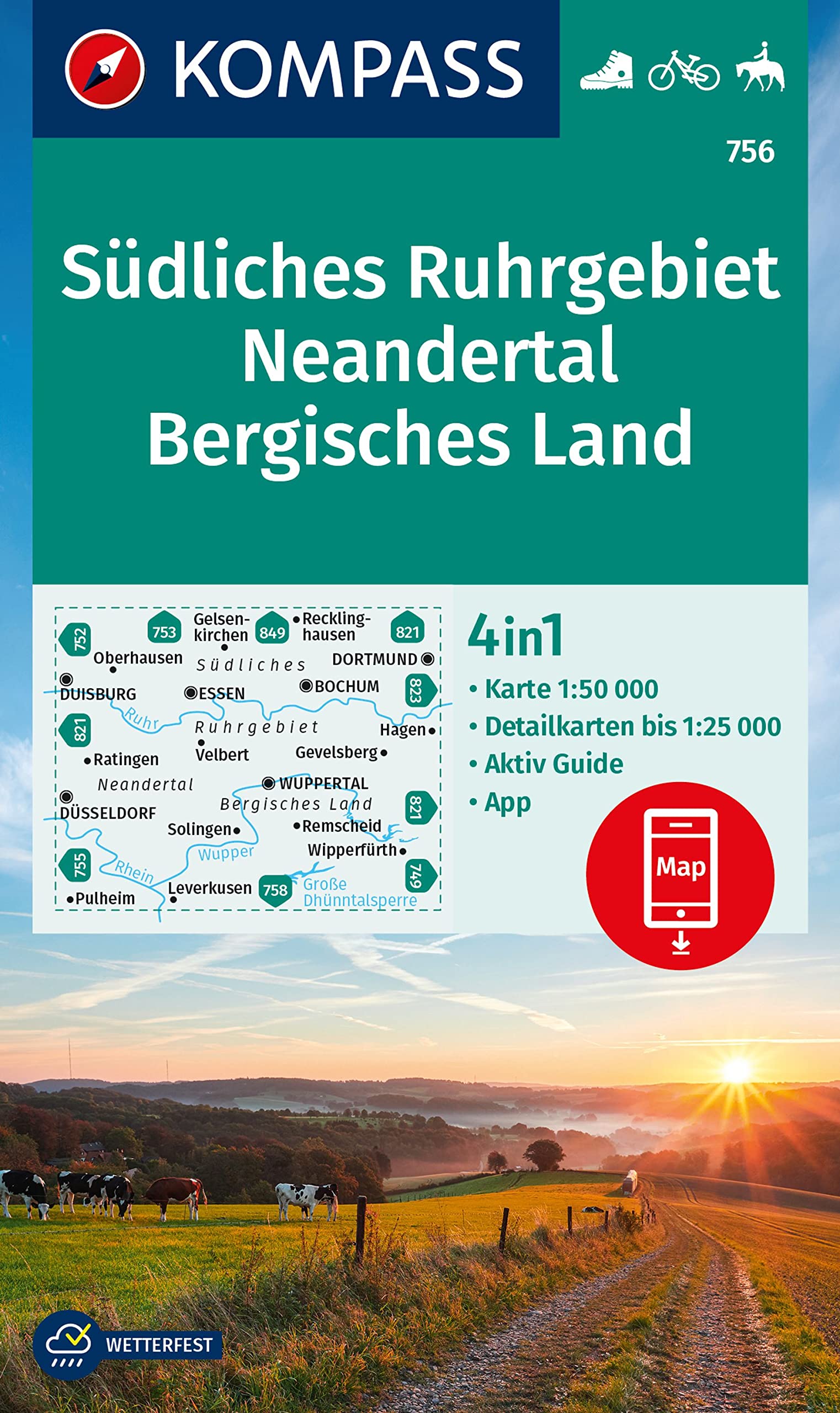
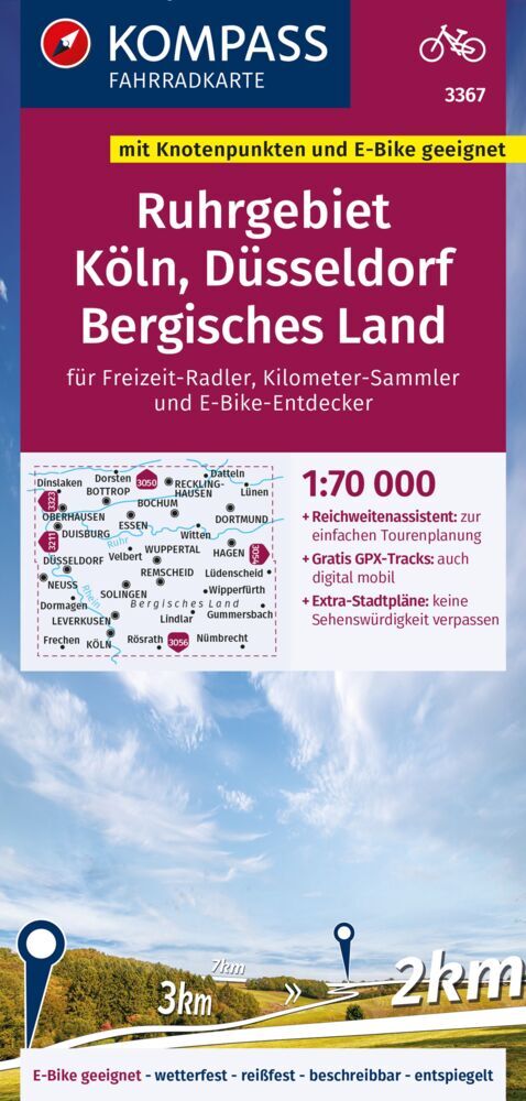
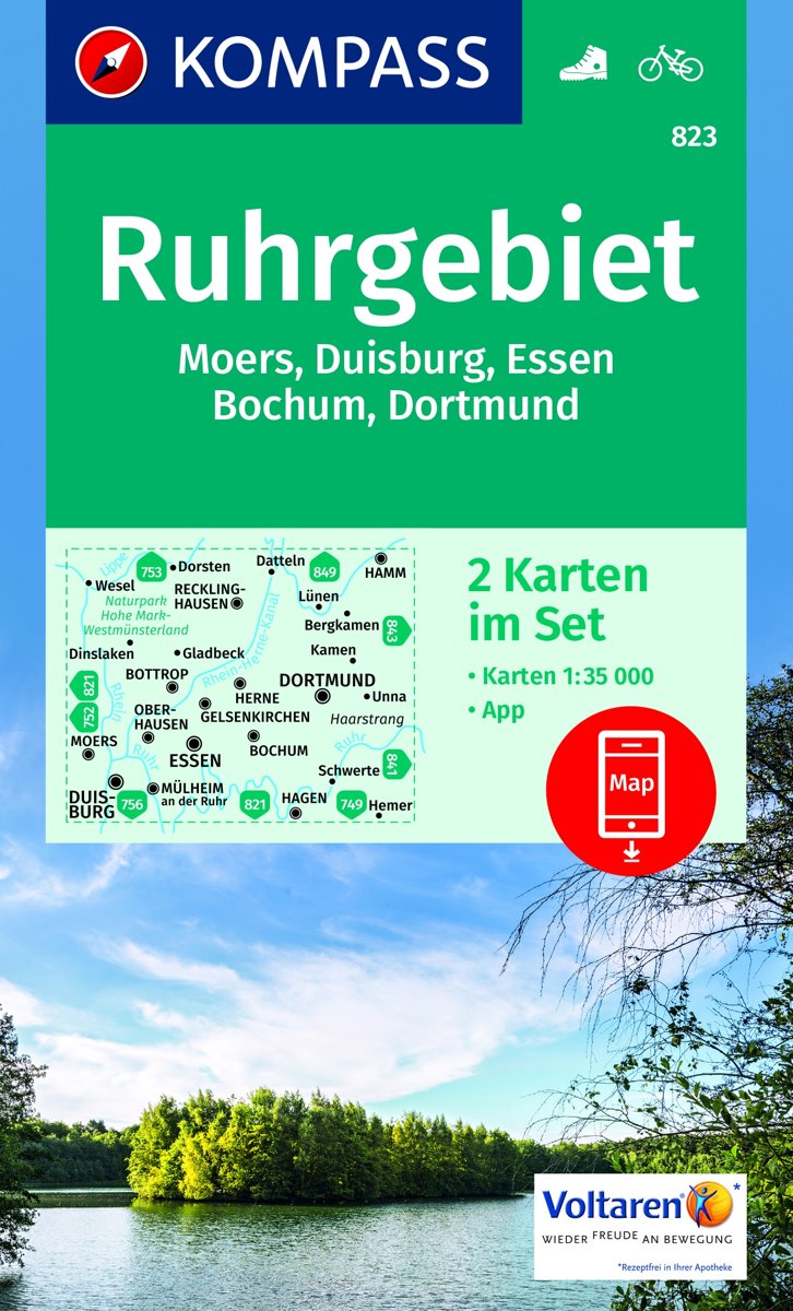
Die KOMPASS Wanderkarten überzeugen durch eine GPS-genaue und aktuelle Karte zur einfachen Orientierung lesefreundliche Optik im idealen Maßstab von 1:25.000/1:35.000 oder 1:50.000Toeristische kaart voor wandelen, fietsen en vrije tijd met activiteitengids en stadsplattegronden • goed leesbare schaal van 1:50 000 • te gebruiken met GPS • met...Read more
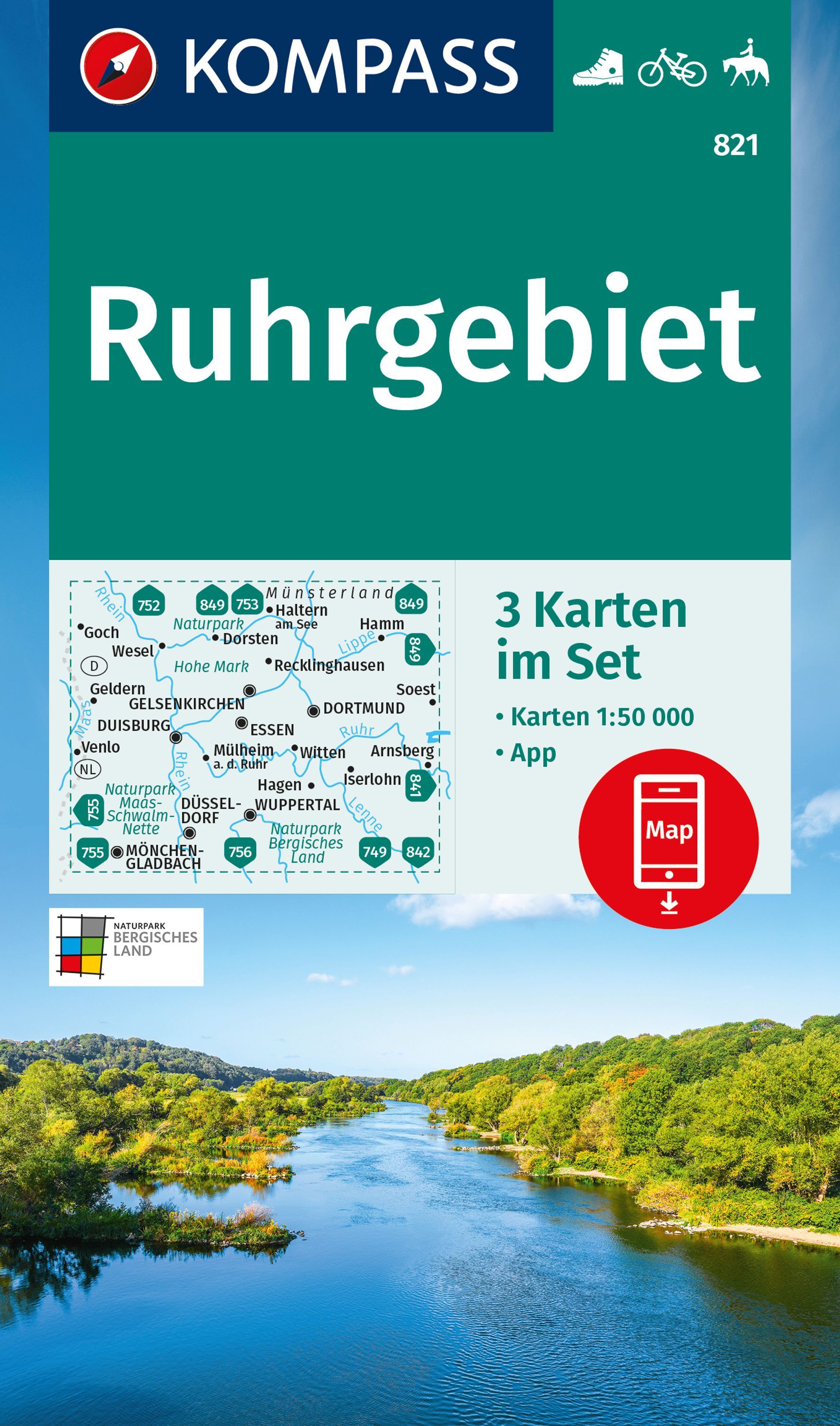
Die KOMPASS Wanderkarten überzeugen durch eine GPS-genaue und aktuelle Karte zur einfachen Orientierung lesefreundliche Optik im idealen Maßstab von 1:25.000/1:35.000 oder 1:50.000Toeristische kaart voor wandelen, fietsen en vrije tijd met activiteitengids en stadsplattegronden • goed leesbare schaal van 1:50 000 • te gebruiken met GPS • met...Read more