The Book Depository
United Kingdom
United Kingdom
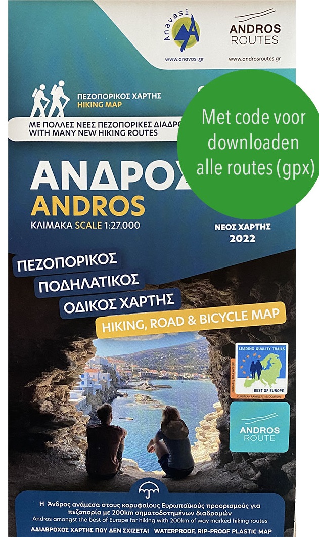
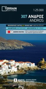
- Andros
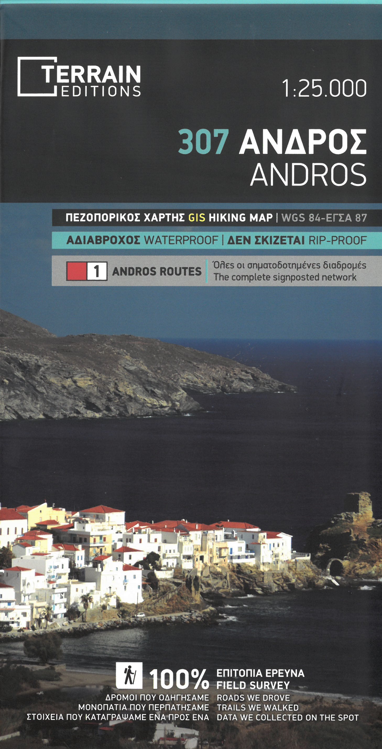
- Gedetailleerde wegenkaart en wandelkaart met alle kleine wegen, wandelpaden, hoogtelijnen en toeristische informatie aangegeven. Alle tekst is tweetalig in Engels en Grieks en de waterproof kaart is geschikt voor gebruik met GPS. This is a great map because: It is waterproof and rip-proof. You can fold and unfold it a thousand times, fold it in... Read more
- Also available from:
- De Zwerver, Netherlands
- Stanfords, United Kingdom
De Zwerver
Netherlands
Netherlands
- Wandelkaart 307 Andros | Terrain maps
- Gedetailleerde wegenkaart en wandelkaart met alle kleine wegen, wandelpaden, hoogtelijnen en toeristische informatie aangegeven. Alle tekst is tweetalig in Engels en Grieks en de waterproof kaart is geschikt voor gebruik met GPS. This is a great map because: It is waterproof and rip-proof. You can fold and unfold it a thousand times, fold it in... Read more

Stanfords
United Kingdom
United Kingdom
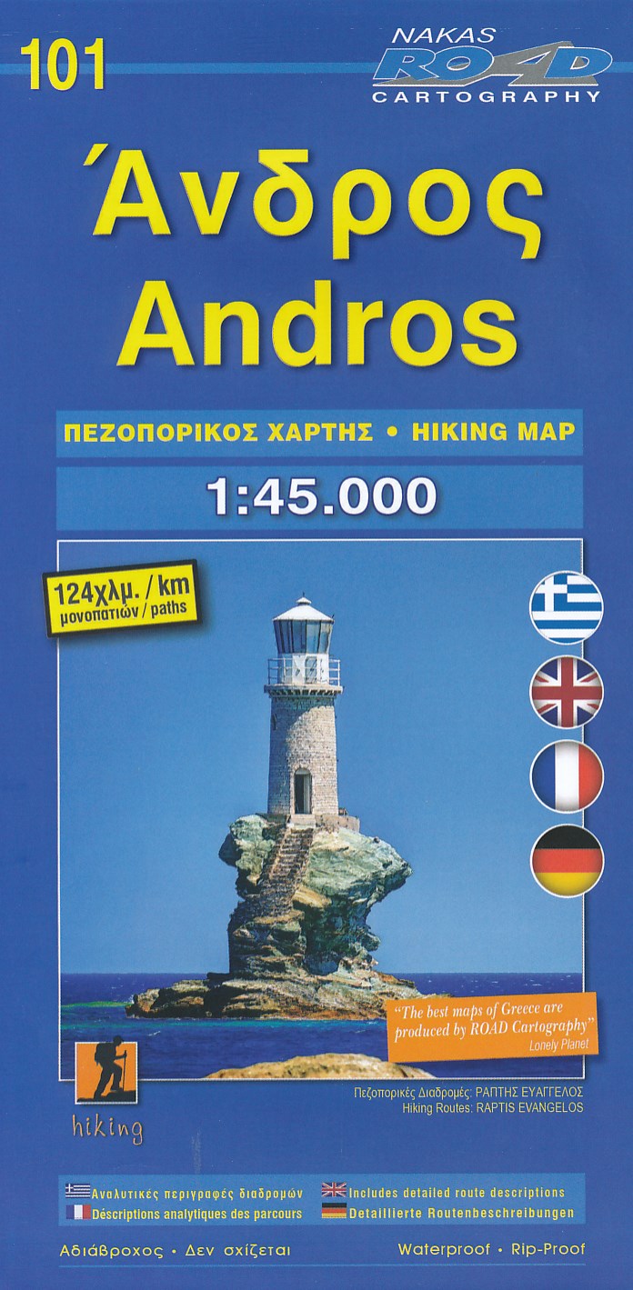
- Andros Terrain Editions 307
- Andros on a light, waterproof and tear-resistant, contoured and GPS compatible map at 1:25,000 from Terrain Editions, with a street plan of the Hora of Andros at 1:4,000, plus on the reverse descriptions of 11 specially selected hiking trails. Contours are at 100m intervals. All place names are shown in both Greek and Latin alphabet. Map legend... Read more