De Zwerver
Netherlands
Netherlands
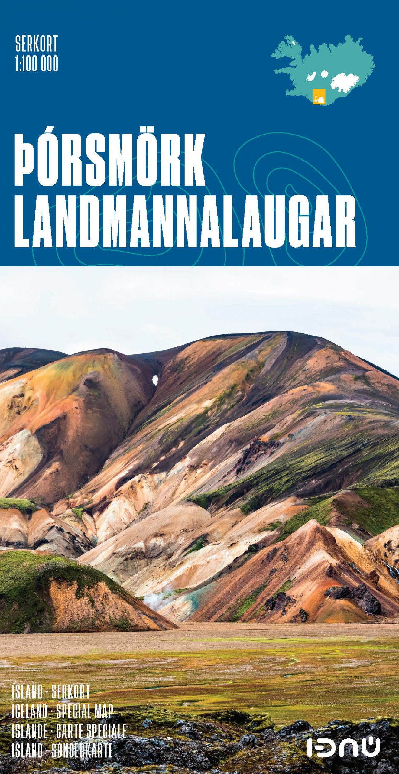
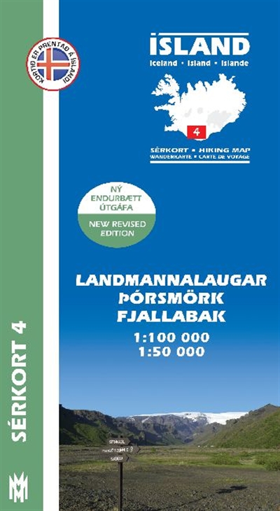
- Wandelkaart 04 Serkort Landmannalaugar - Þórsmörk - Fjallabak - Eyjafjallajökull Vulkaan - IJsland | Mal og Menning
- De wandelkaartenserie van Mal og Menning is bijzonder duidelijk en geschikt voor alle recreatieve doeleinden, ze zijn gebaseerd op de topografische kaarten van IJsland. De kaart laat een gedetailleerd beeld zien van de landschapskenmerken, hoogtelijnen op basis van 20 m. met hoogtepunten apart vermeld. Verschil in kleur en symbolen geven een... Read more
- Also available from:
- Stanfords, United Kingdom

Stanfords
United Kingdom
United Kingdom
- Landmannalaugar - Þorsmork - Fjallabak - Eyjafjallajokull Volcano
- Landmannlaugar - Þórsmörk - Fjallabak area of Iceland at 1:100,000 in a series of detailed hiking and recreational topographic maps from Mál og menning - the country`s leading cartographic publishers, with beautiful drawings of local birds and tourist information. An enlargement shows the Þórsmörk area with paths between the Eyjafjallajökull... Read more