The Book Depository
United Kingdom
» Click to open
De Zwerver
Netherlands
  • Wandelkaart 7.1 Thasos | Anavasi
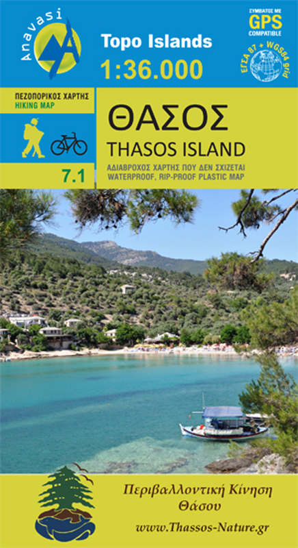
  • Het eiland Thassos heeft een prachtige natuurlijke schoonheid. Het is rijk aan bossen en stranden, maar het eiland heeft ook oude mijntunnels en overblijfselen van de mijnen, oude torens die de kust bewaken en moderne steengroeven. Met deze kaart, die is gemaakt met de steun en samenwerking van de Environmental Association of Thasos, zijn er... Read more
» Click to close
The Book Depository
United Kingdom
» Click to open
De Zwerver
Netherlands
  • Wandelkaart 8.10 Exo Mani | Anavasi
  • Uitstekende wandelkaart op scheur- en watervast papier van het wandelgebied rond Kardamyli maar ook nog met Agios Nikolaos. De wandelpaden staan er op ingetekend, zo ook alle bezienswaardigheden als klooster, kastelen en meerdere opgravingen. Mani is the middle and southernmost peninsula of the Peloponnese and is split between Laconia and... Read more
Stanfords
United Kingdom
  • Exo Mani - Verga - Kardamyli - Trachila Anavasi 8.10
  • The northern part of the western coast of the Mani Peninsula, the “middle finger” of the Peloponnese, on a light, waterproof and tear-resistant, double-sided, contoured and GPS-compatible map at 1:20,000 from Anavasi highlighting 24 hiking trails and various facilities and places of interest. Coverage, with a good overlap between the sides,... Read more
» Click to close
The Book Depository
United Kingdom
» Click to open
De Zwerver
Netherlands
  • Wandelkaart 8.7 Mt. Parnon - Peloponnesos | Anavasi
  • Mt Parnon (Parnonas) in a series of waterproof and tear-resistant hiking maps at scales varying from 1:50,000 to 1:10,000, with a UTM grid for GPS users. Contour interval varies depending on the scale, on most maps it is 20m. Relief shading, spot heights, springs, seasonal streams and, in most titles, landscape/land-use variations, e.g.... Read more
Stanfords
United Kingdom
  • Mt Parnon Anavasi 8.7
  • Mt Parnon (Parnonas) in a series of waterproof and tear-resistant hiking maps at scales varying from 1:50,000 to 1:10,000, with a UTM grid for GPS users. Contour interval varies depending on the scale, on most maps it is 20m. Relief shading, spot heights, springs, seasonal streams and, in most titles, landscape/land-use variations, e.g.... Read more
» Click to close
The Book Depository
United Kingdom
» Click to open
De Zwerver
Netherlands
  • Wandelkaart 8.9 Monemvasia - Maleas - Peloponnesos | Anavasi
  • Monemvasia - Maleas - Elafonisos area, the eastern finger of the Peloponnese and the Elsfonisos Island, at 1:50,000 in a series of waterproof and tear-resistant hiking maps from Anavasi with a UTM grid for GPS users. On one side is a topographic map of the area with contours at 20m intervals and a 1-km UTM grid. On the reverse a simplified... Read more
Stanfords
United Kingdom
  • Monemvasia - Maleas - Elafonisos Anavasi 8.9
  • Monemvasia - Maleas - Elafonisos area, the eastern finger of the Peloponnese and the Elsfonisos Island, at 1:50,000 in a series of waterproof and tear-resistant hiking maps from Anavasi with a UTM grid for GPS users. On one side is a topographic map of the area with contours at 20m intervals and a 1-km UTM grid. On the reverse a simplified... Read more
» Click to close
De Zwerver
Netherlands
2009
» Click to open
Stanfords
United Kingdom
2009
  • Mani Anavasi 8.4
  • The Mani Peninsula at 1:50,000 on light, waterproof and tear-resistant, contoured and GPS compatible map from Anavasi, showing local footpaths including descriptions for eight specially selected routes, etc. The map is double-sided, dividing the peninsula north/south with a very generous overlap between the sides.Topography is vividly presented... Read more
» Click to close
De Zwerver
Netherlands
De Zwerver
Netherlands
De Zwerver
Netherlands
2022
De Zwerver
Netherlands
De Zwerver
Netherlands
De Zwerver
Netherlands
De Zwerver
Netherlands
De Zwerver
Netherlands
De Zwerver
Netherlands
De Zwerver
Netherlands