Topographic survey of Portugal at 1:25,000 from the Instituto Geográfico do Exército, the country’s military survey organisation.Map legend and a glossary of terms used on the maps include English.To see all the titles in this series please click on the series link.Read more
Topographic survey of Portugal at 1:25,000 from the Instituto Geográfico do Exército, the country’s military survey organisation.Map legend and a glossary of terms used on the maps include English.To see all the titles in this series please click on the series link.Read more
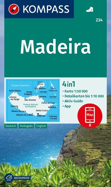
Madeira on a detailed, contoured, GPS compatible map at 1;50,000 from Kompass highlighting hiking routes, graded according to the degree of difficulty, and other places of interest, with a street plan of central Funchal.The map has contours at 50m intervals, enhanced by shading and graphic relief, with colouring for woodlands and vineyards,...Read more
Topographic survey of Portugal at 1:25,000 from the Instituto Geográfico do Exército, the country’s military survey organisation.Map legend and a glossary of terms used on the maps include English.To see all the titles in this series please click on the series link.Read more
Topographic survey of Portugal at 1:25,000 from the Instituto Geográfico do Exército, the country’s military survey organisation.Map legend and a glossary of terms used on the maps include English.To see all the titles in this series please click on the series link.Read more
Passage ChartsC 1 Mallorca to Sicily 1:1,750,000C 2 Corsica Channel to Mt. Argentario 1:350,000C 3 Mt. Argentario to Capo Circeo 1:350,000C 4 Capo Circeo to Capri 1:350,000Coastal ChartsC 5 Tuscan Islands South 1:150,000C 6 Pta. Ala to Mt. Argentario 1:150,000C 7 Mt. Argentario to Capo Linaro 1:150,000C 8 Capo Linaro to Rome 1:150,000C 9 Rome...Read more
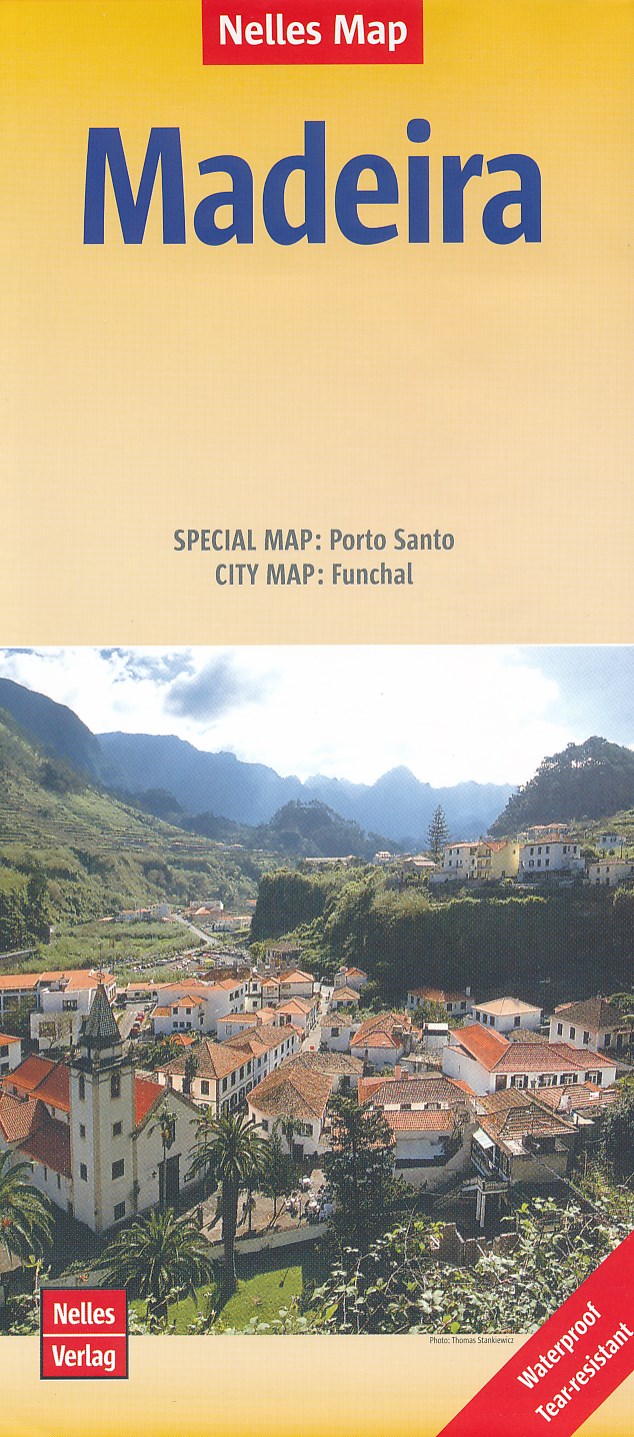
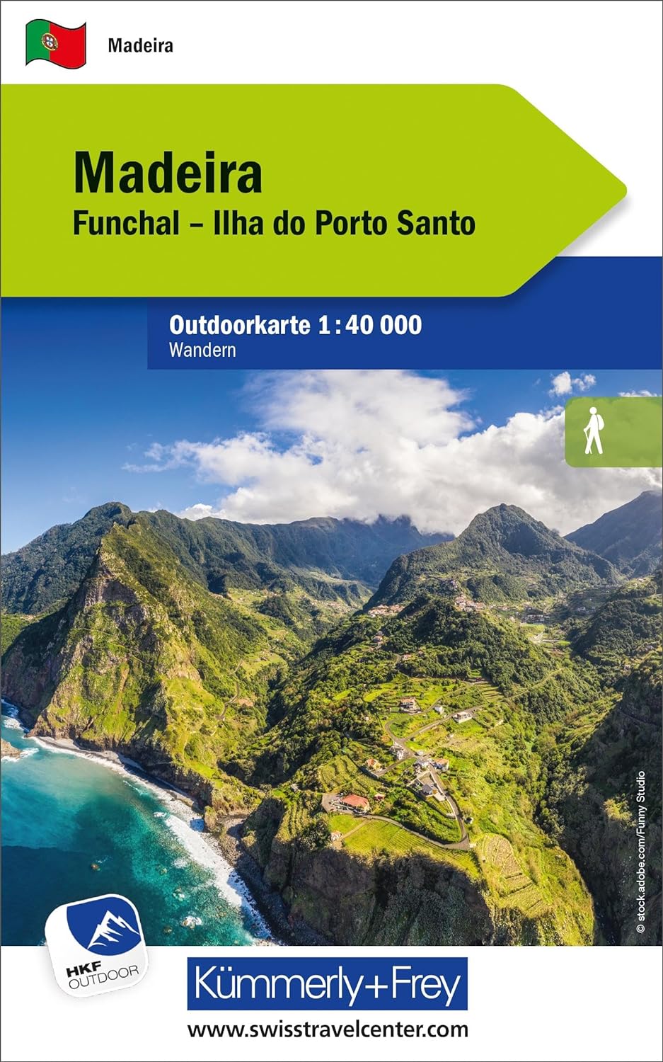
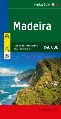
Madeira on a large, indexed, touring and sightseeing map from Freytag & Berndt at 1:40,000 with prominent highlighting for scenic roads, hiking routes, picturesque locations and places of interest, plus a street plan of central Funchal and a booklet with descriptions of best sights, etc. Place names and road numbers are in larger size font than...Read more