The Book Depository
United Kingdom
» Click to open
Stanfords
United Kingdom
  • Southern Alps IGN Top200 203
  • Pyrénées Ouest map from the IGN at 1:200,000, with excellent presentation of the terrain through contours and vivid relief shading, plenty of names of topographic features, long-distance GR hiking routes, places of interest, etc. The map is designed to provide convenient coverage of the western and central part of the Pyrenees, extending across... Read more
» Click to close
The Book Depository
United Kingdom
» Click to open
Stanfords
United Kingdom
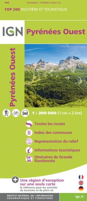
  • Pyrenees West IGN Top200 205
  • Pyrénées Ouest map from the IGN at 1:200,000, with excellent presentation of the terrain through contours and vivid relief shading, plenty of names of topographic features, long-distance GR hiking routes, places of interest, etc. The map is designed to provide convenient coverage of the western and central part of the Pyrenees, extending across... Read more
» Click to close
The Book Depository
United Kingdom
» Click to open
De Zwerver
Netherlands
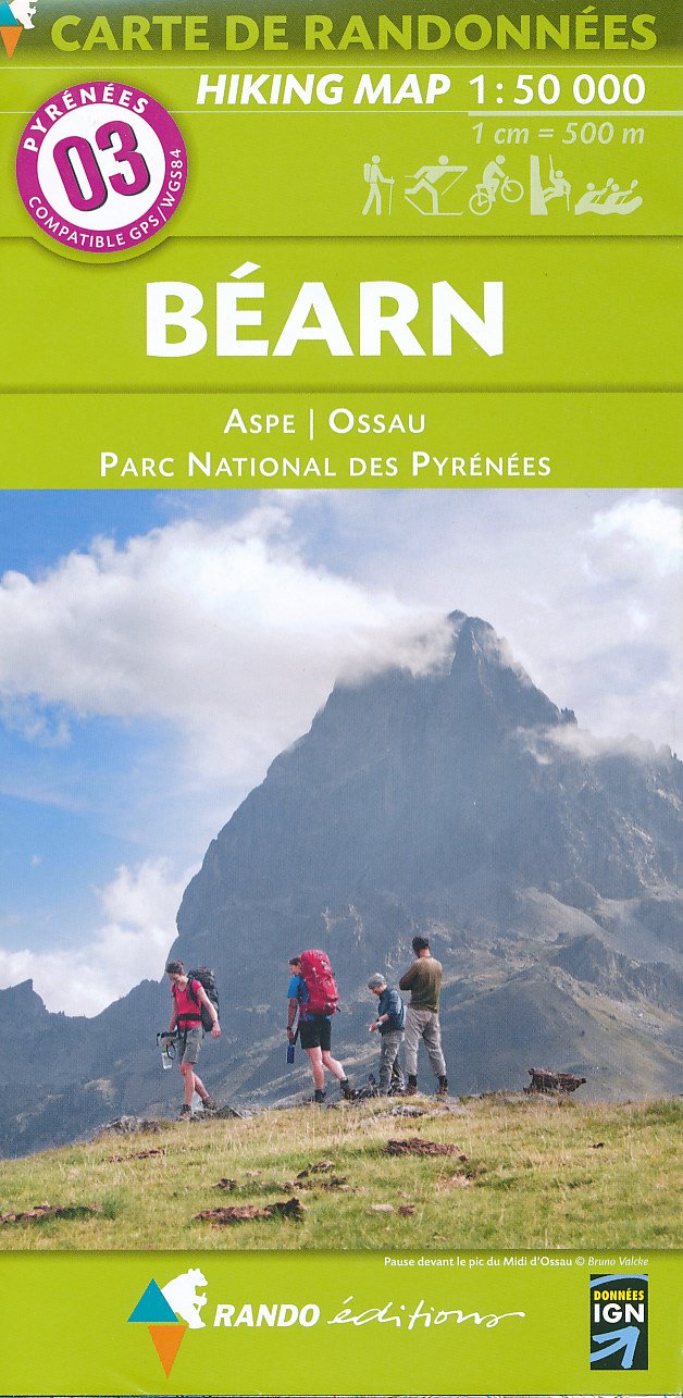
  • Wandelkaart 03 Béarn - Bearn | Rando Editions
  • Uitstekende wandelkaart met veel toeristische informatie en bijzonder gedetailleerd. Wandelroute en hutten / campings zijn ingetekend, met hoogtelijnen. Andere dorpen op deze kaart: Etsaut - Col du Somport - Fabrèges - Col du Pourtalet - la Pierre Saint Martin - Arette - Arudy - Laruns - Arrens Marsous - Argelès Gazost (Frankrijk - Pyreneeen)... Read more
Stanfords
United Kingdom
  • Béarn - Aspe - Ossau - Pyrenees National Park Rando Editions 3
  • French Pyrenees of the Béarn region, from Tardets-Sorholus to the western part of the Pyrenees National Park including the Ossau and Balaïtous massifs, on a contoured and GPS compatible map at 1:50,000 from Rando Editions with topographic base provided by the IGN, highlighting local and long-distance hiking trails, cycle and mountain bike... Read more
» Click to close
The Book Depository
United Kingdom
» Click to open
Stanfords
United Kingdom
  • Pyrenees East IGN Top200 206
  • Pyrénées Ouest map from the IGN at 1:200,000, with excellent presentation of the terrain through contours and vivid relief shading, plenty of names of topographic features, long-distance GR hiking routes, places of interest, etc. The map is designed to provide convenient coverage of the western and central part of the Pyrenees, extending across... Read more
» Click to close
The Book Depository
United Kingdom
» Click to open
Stanfords
United Kingdom
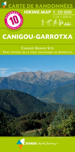
  • Canigou-Garrotxa Rando Editions 10
  • Canigou Massif and the surrounding region of the French Pyrenees on a contoured and GPS compatible map at 1:50,000 from Rando Editions with topographic base provided by the IGN, highlighting local and long-distance hiking trails, mountain biking routes, etc. Topography is vividly presented by contours at 20m intervals enhanced by shading and... Read more
» Click to close
The Book Depository
United Kingdom
» Click to open
Stanfords
United Kingdom
  • High Jura - Northern Alps IGN Top200 202
  • Pyrénées Ouest map from the IGN at 1:200,000, with excellent presentation of the terrain through contours and vivid relief shading, plenty of names of topographic features, long-distance GR hiking routes, places of interest, etc. The map is designed to provide convenient coverage of the western and central part of the Pyrenees, extending across... Read more
» Click to close
De Zwerver
Netherlands
» Click to open
Stanfords
United Kingdom
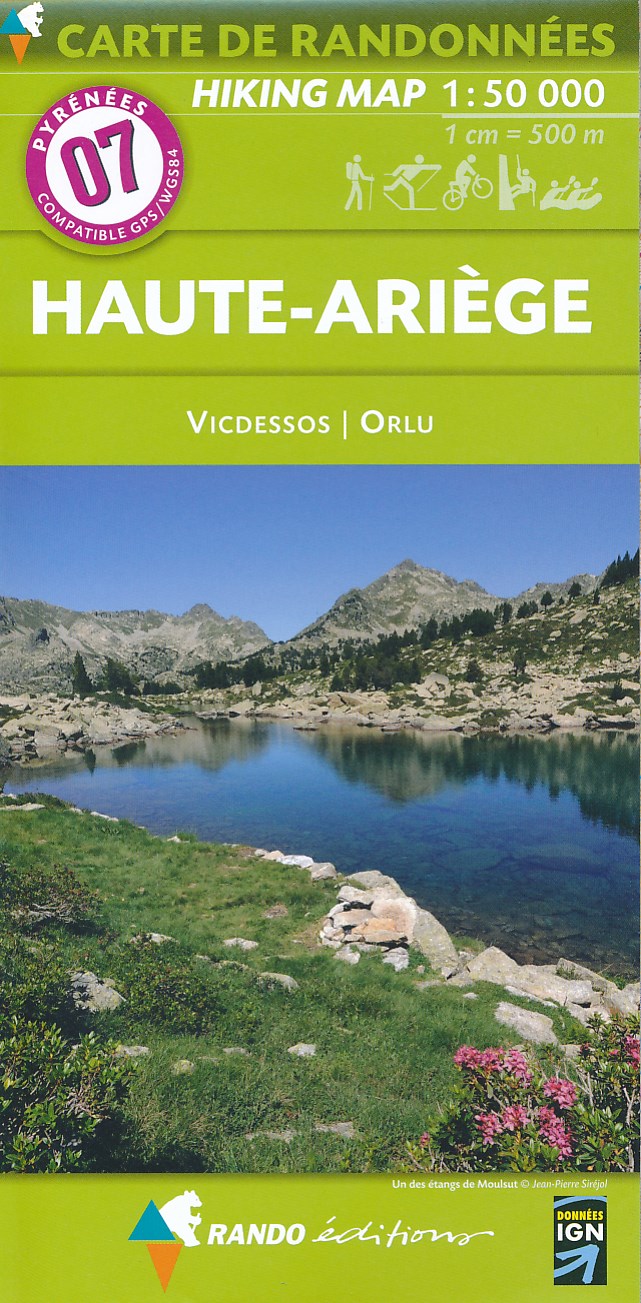
  • Haute-Ariége Rando Editions 7
  • The Haute-Ariége region of the French Pyrenees, from Foix to Pica d`Estats and the Col de Puymorens, on a contoured and GPS compatible map at 1:50,000 from Rando Editions with topographic base provided by the IGN, highlighting local and long-distance hiking trails, etc. Topography is vividly presented by contours at 20m intervals enhanced by... Read more
» Click to close
De Zwerver
Netherlands
» Click to open
Stanfords
United Kingdom
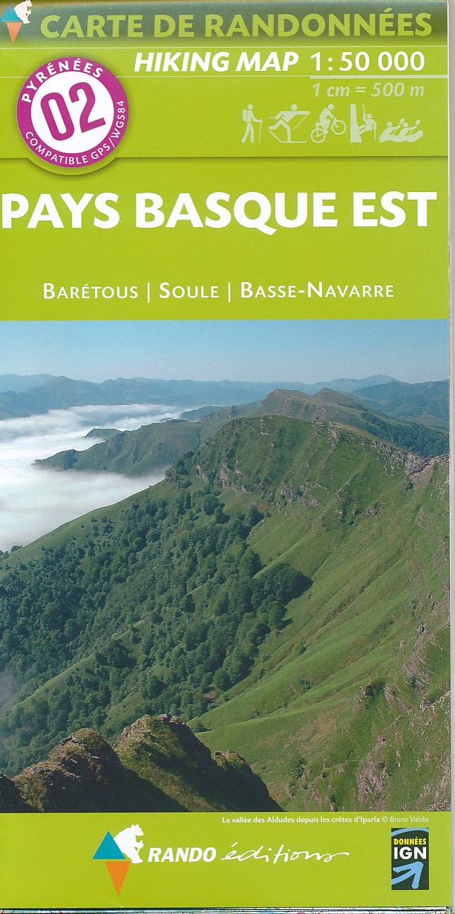
  • Pays Basque East Rando Editions 2
  • Western Pyrenees in France from the peaks of Iguzuki and Iparla, across St-Jean-Pied-de-Port and Larrau, to Pic d’Anie on a contoured and GPS compatible map at 1:50,000 from Rando Editions with topographic base provided by the IGN, highlighting local and long-distance hiking trails, cycle and mountain bike routes, etc. Topography is vividly... Read more
» Click to close
De Zwerver
Netherlands
» Click to open
Stanfords
United Kingdom
  • Cerdagne-Capcir Rando Editions 8
  • The Cerdagne-Capcir region of the French Pyrenees, from Ax-les Thermes to Font Romeu and Bourg-Madame, on a contoured and GPS compatible map at 1:50,000 from Rando Editions with topographic base provided by the IGN, highlighting local and long-distance hiking trails, etc. Topography is vividly presented by contours at 20m intervals enhanced by... Read more
» Click to close
De Zwerver
Netherlands
» Click to open
Stanfords
United Kingdom
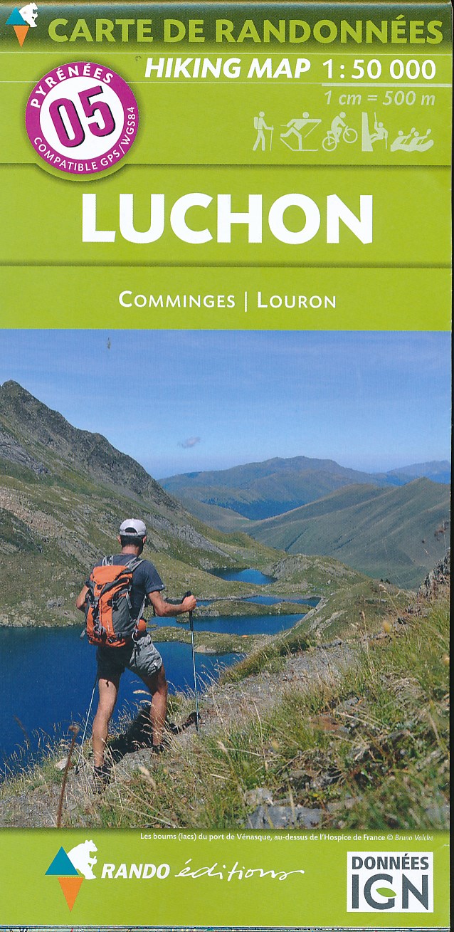
  • Luchon Rando Editions 5
  • The Luchon region of the French Pyrenees, around St.Gaudens, the Louron Valley and Bagnères-de-Luchon, on a contoured and GPS compatible map at 1:50,000 from Rando Editions with topographic base provided by the IGN, highlighting local and long-distance hiking trails, cycle and mountain bike routes, etc. Topography is vividly presented by... Read more
» Click to close
De Zwerver
Netherlands
» Click to open
Stanfords
United Kingdom
» Click to close
De Zwerver
Netherlands
» Click to open
Stanfords
United Kingdom
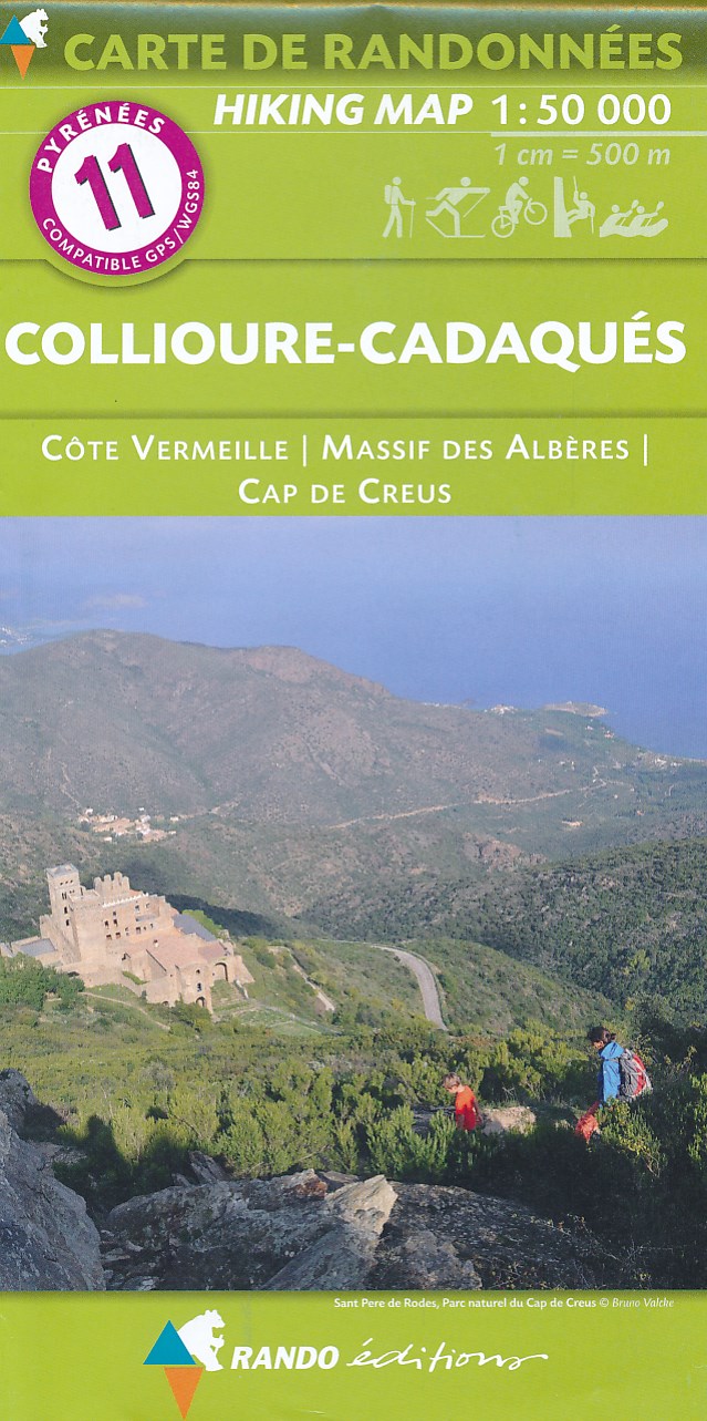
  • Collioure-Cadaqués Rando Editions 11
  • The easternmost part of the French Pyrenees, including Perpignan and the resorts on the Mediterranean coast, on a contoured and GPS compatible map at 1:50,000 from Rando Editions with topographic base provided by the IGN, highlighting local and long-distance hiking trails, etc. Topography is shown by contours at 20m intervals enhanced by... Read more
» Click to close
De Zwerver
Netherlands
» Click to open
Stanfords
United Kingdom
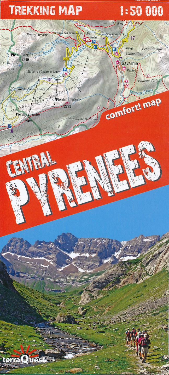
  • Central Pyrenees terraQuest Trekking Map
  • The central part of the French Pyrenees on a waterproof and tear-resistant, contoured and GPS compatible map at 1:50,000 from terraQuest, highlighting hiking trails, campsites and refuges, etc. The map is presented in a special format handy for conveniently viewing just small sections of it at one time.Coverage extends north to the towns... Read more
» Click to close
De Zwerver
Netherlands
» Click to open
Stanfords
United Kingdom
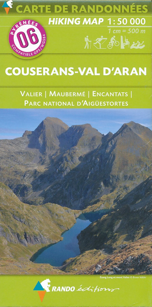
  • Couserans-Val d`Aran Rando Editions 6
  • The Couserans region of the French Pyrenees, from St-Girons to Pic de Maubermé and Pica d’Estats, on a contoured and GPS compatible map at 1:50,000 from Rando Editions with topographic base provided by the IGN, highlighting local and long-distance hiking trails, etc. Topography is vividly presented by contours at 20m intervals enhanced by... Read more
» Click to close
De Zwerver
Netherlands
» Click to open
Stanfords
United Kingdom
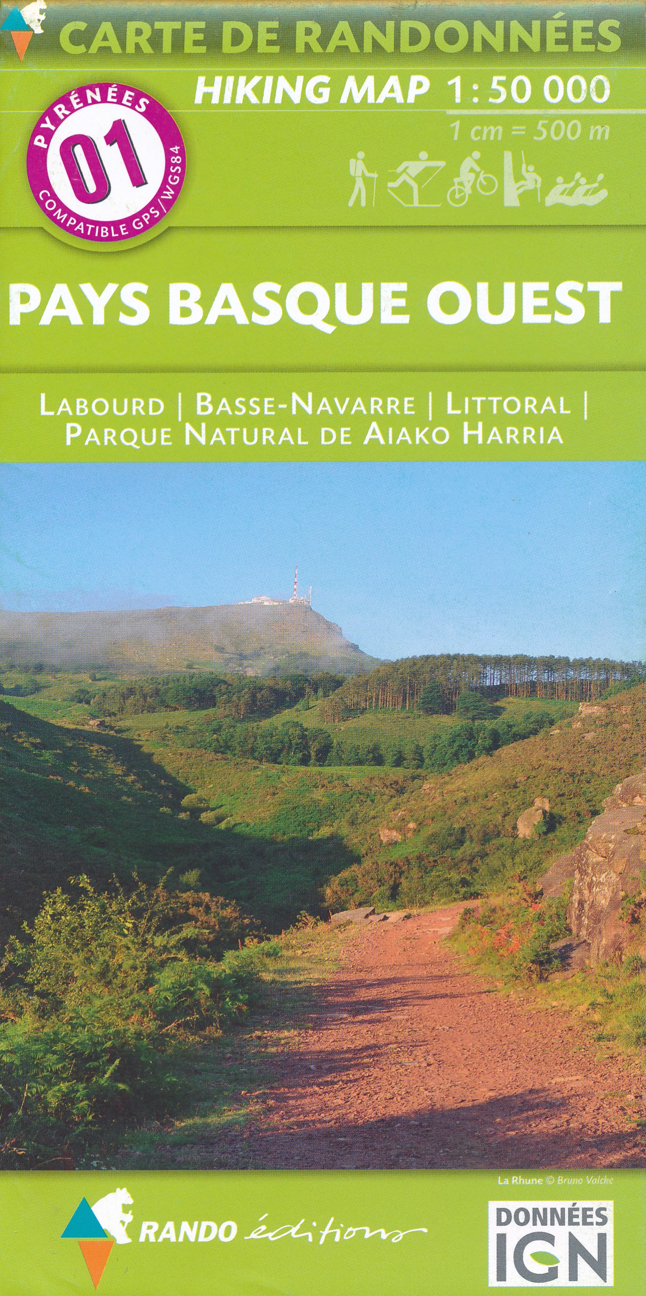
  • Pays Basque West Rando Editions 1
  • The westernmost section of the French Pyrenees between the Atlantic coast and St-Jean-Pied-de-Port on a contoured and GPS compatible map at 1:50,000 from Rando Editions with topographic base provided by the IGN, highlighting local and long-distance hiking trails, cycle and mountain bike routes, etc. Coverage along the Atlantic coast starts at... Read more
» Click to close