The Book Depository
United Kingdom
2022
United Kingdom
2022
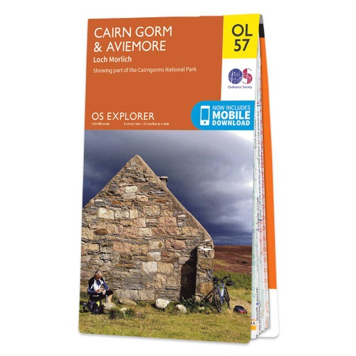
- Cairn Gorm & Aviemore, Loch Morlich
- Met zijn 4cm voor 1 km (2 ½ cm voor 1 mijl) schaal, is de OS Outdoor Leisure kaartenserie de ideale en meest gedetailleerde kaartenreeks voor mensen die graag outdoor-activiteiten zoals fietsen, wandelen, paardrijden, klimmen en watersporten. Deze kaart is nog gedetailleerder dan de 'gewone' Landranger maps. Voor- en achterzijde... Read more
- Also available from:
- De Zwerver, Netherlands
- Stanfords, United Kingdom
De Zwerver
Netherlands
2022
Netherlands
2022
- Wandelkaart - Topografische kaart OL57 OS Explorer Map Cairn Gorm & Aviemore | Ordnance Survey
- Met zijn 4cm voor 1 km (2 ½ cm voor 1 mijl) schaal, is de OS Outdoor Leisure kaartenserie de ideale en meest gedetailleerde kaartenreeks voor mensen die graag outdoor-activiteiten zoals fietsen, wandelen, paardrijden, klimmen en watersporten. Deze kaart is nog gedetailleerder dan de 'gewone' Landranger maps. Voor- en achterzijde... Read more

Stanfords
United Kingdom
2022
United Kingdom
2022
- Cairn Gorm & Aviemore - Loch Morlich OS Explorer Map OL57 (paper)
- Cairn Gorm and Aviemore area of the Cairmgorms National Park on a detailed topographic and GPS compatible map OL57, paper version, from the Ordnance Survey’s 1:25,000 Explorer series. Coverage includes the Glenmore Forest Park, Loch Morlich, 16 Munro peaks including Carin Gorm, Bynack More and The Devil’s Point, the southern section of the... Read more