The Book Depository
United Kingdom
United Kingdom
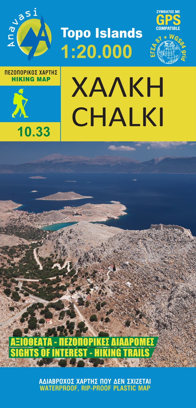
- Chalki
- wandelkaart schaal 1:20.000 met hoogtelijnen, wandelpaden, toeristische informatie en UTM grid, de kaart is geschikt voor gebruik met GPS. A tiny island though very rich in monuments and ancient remains. More than 50 byzantine chappels, dozens of rock carved cisterns and old agricultural settlements and a well-preserved medieval caslte with a... Read more
- Also available from:
- De Zwerver, Netherlands
- Stanfords, United Kingdom
De Zwerver
Netherlands
Netherlands
- Wandelkaart 10.33 Chalki | Anavasi
- wandelkaart schaal 1:20.000 met hoogtelijnen, wandelpaden, toeristische informatie en UTM grid, de kaart is geschikt voor gebruik met GPS. A tiny island though very rich in monuments and ancient remains. More than 50 byzantine chappels, dozens of rock carved cisterns and old agricultural settlements and a well-preserved medieval caslte with a... Read more

Stanfords
United Kingdom
United Kingdom
- Chalki Anavasi 10.33
- The island of Chalki at 1:20,000 on a waterproof and tear-resistant, contoured and GPS compatible map from Anavasi, with highlighting five recommended hiking routes and other useful tips, plus an enlargement showing in greater detail the Chorio archaeological site.On one side is a map of Chalki with contours at 20m intervals and hill shading to... Read more