Kroatien Nord 1 : 200 000. Autokarte ab 10.9 EURO Kroatien Nord, Istrien - Zagreb - Slawonien Freytag & Berndt Autokarte. Neuauflage, Laufzeit bis 2019Read more
The island of Lošinj on the Adriatic coast of Croatia on a double-sided, contoured and GPS compatible map at 1:25,000 from the Croatian Mountain Rescue Service, highlighting hiking paths, including trails on the southern part of Cres and on the nearby islands of Unije, Susak and Ilovik.Contours at 10m intervals enhanced by relief shading...Read more
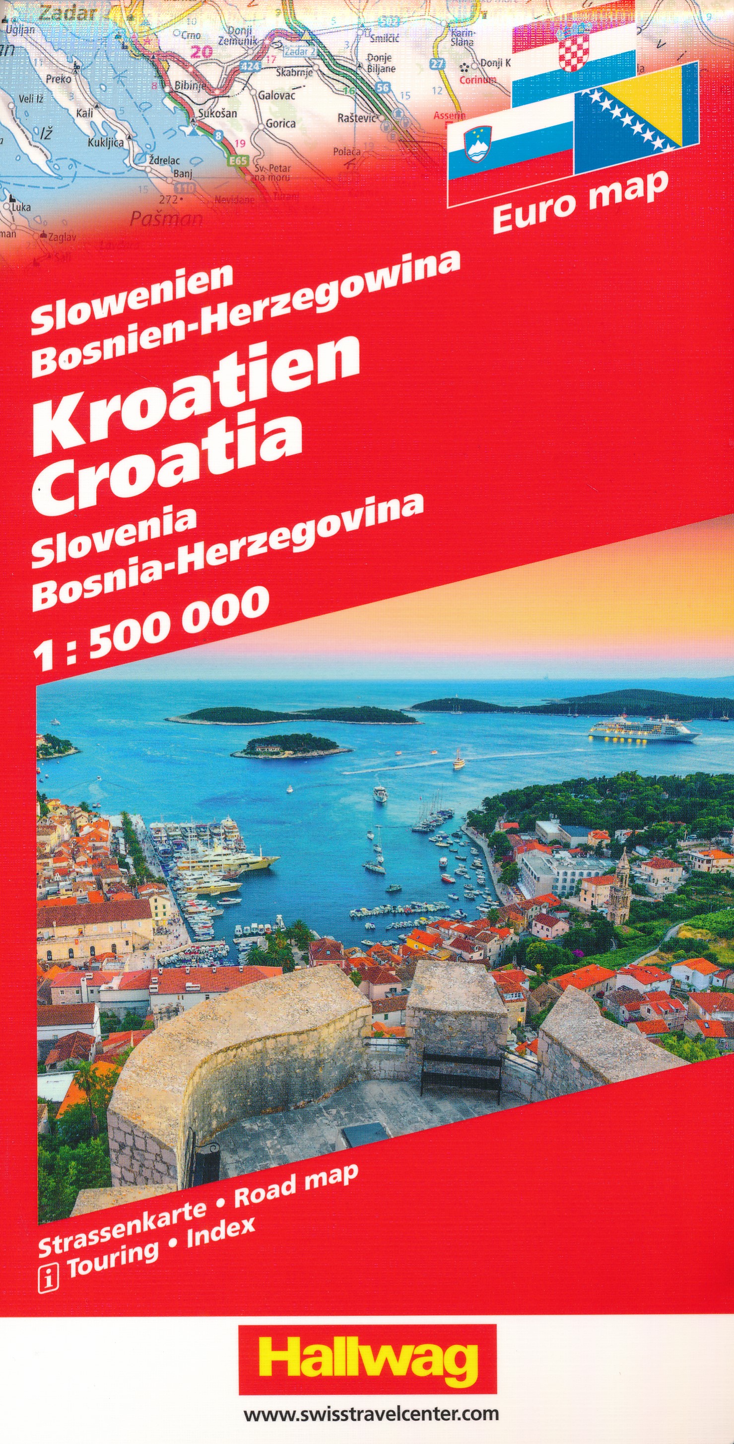
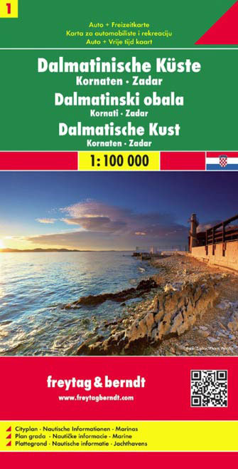
The Dalmatian Coast of Croatia around Zadar and the Kornati Islands on a detailed, indexed map at 1:100,000 from Freytag & Berndt with large icons indicating various facilities including campsites and beaches, ferry connections, etc.Coverage includes the islands of Kormat, Pasman Ugljan, Dugi Otok and the southern part of Pag. The map shows...Read more
The Dalmatian Coast of Croatia around Zadar and the Kornati Islands on a detailed, indexed map at 1:100,000 from Freytag & Berndt with large icons indicating various facilities including campsites and beaches, ferry connections, etc.Coverage includes the islands of Kormat, Pasman Ugljan, Dugi Otok and the southern part of Pag. The map shows...Read more