De Zwerver
Netherlands

Stanfords
United Kingdom
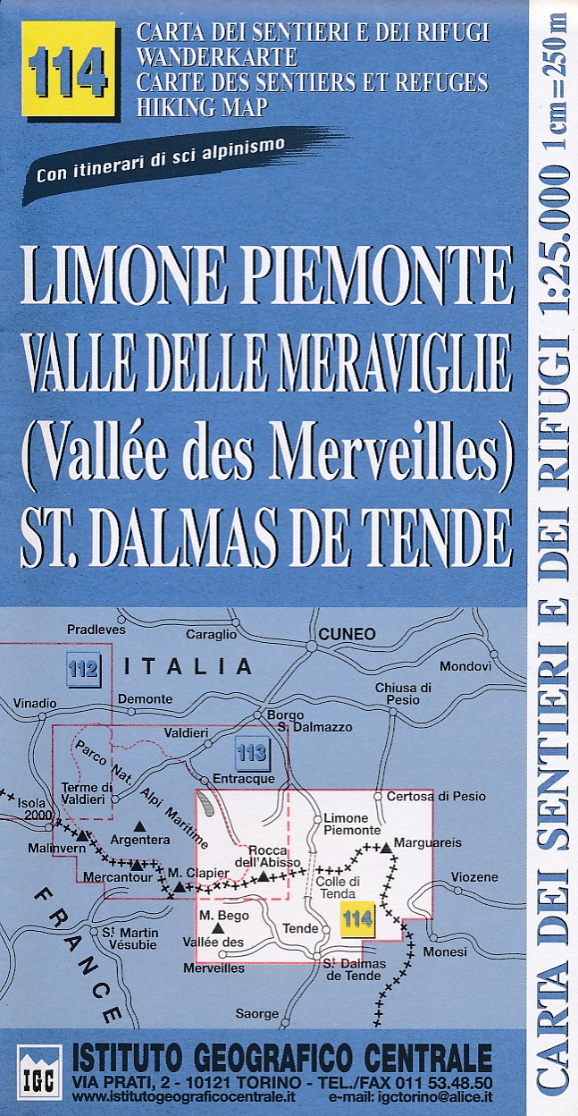
- Limone Piemonte - Vallée des Merveilles 25K IGC Map No. 114
- Limone Piemonte - Vallée des Merveilles area at 1:25,000 in a series of contoured, GPS compatible walking maps from the Turin based Istituto Geografico Centrale, highlighting hiking trails including long-distance routes, ski routes and alpine accommodation. Maps in this series have contours at 25m intervals, enhanced by shading and graphic... Read more
De Zwerver
Netherlands
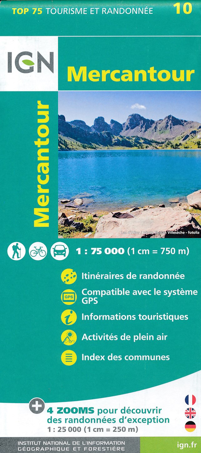
- Fietskaart - Wandelkaart 10 Mercantour | IGN - Institut Géographique National
- IGN TOP 75 Topographic map of the Mercantour at 1:75,000 scale. This detailed map covers the Mercantour National Park, from Barcelonette to Villars-sur-Var from north to south. Contour lines, detailed legend and indication of hiking trails. Index of cities. This map includes 5 zooms in scale 1:25 000 to discover exceptional excursions (Vallée... Read more

Stanfords
United Kingdom
- Mercantour IGN 75010
- IGN TOP 75 Topographic map of the Mercantour at 1:75,000 scale. This detailed map covers the Mercantour National Park, from Barcelonette to Villars-sur-Var from north to south. Contour lines, detailed legend and indication of hiking trails. Index of cities. This map includes 5 zooms in scale 1:25 000 to discover exceptional excursions (Vallée... Read more

De Zwerver
Netherlands
- Wandelkaart 08 Alpi marittime e Liguri | IGC - Istituto Geografico Centrale
- A cross-border area of the Maritime and Ligurian Alps at 1:50,000, with coverage on the Italian side including Limone, Alpi Maritime PN and Alta Valle Pesio e Tanaro PN, plus in France Tende, Vallée des Merveilles and Saorge, in a series contoured hiking maps with local trails, long-distance footpaths, mountain accommodation, etc. from the... Read more

Stanfords
United Kingdom
- Maritime and Ligurian Alps IGC 8
- A cross-border area of the Maritime and Ligurian Alps at 1:50,000, with coverage on the Italian side including Limone, Alpi Maritime PN and Alta Valle Pesio e Tanaro PN, plus in France Tende, Vallée des Merveilles and Saorge, in a series contoured hiking maps with local trails, long-distance footpaths, mountain accommodation, etc. from the... Read more

Stanfords
United Kingdom
- Vallee de la Roya - PN du Mercantour IGN 3841OT
- Topographic survey of France at 1:25,000 in IGN`s excellent TOP25 / Série Bleue series. All the maps are GPS compatible, with a 1km UTM grid plus latitude and longitude lines at 5’ intervals. Contours are at 5m intervals except for mountainous areas where the maps have contours at 10m intervals, vividly enhanced by hill shading and graphics for... Read more