The Book Depository
United Kingdom
2019
United Kingdom
2019
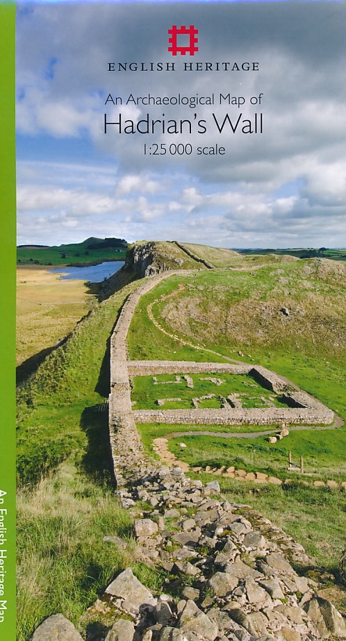
- Hadrian's Wall
- Een bijzonder handige kaart van dit lange-afstands-wandelpad. Op waterafstotend papier met veel details. Het enige dat je eigenlijk een beetje mist is een overzicht. Verder uitstekend en voldoende voor de route. Compact and light - the map itself weighs just 60gms - a third of the weight of a laminated map, and much less bulky. And you can fold... Read more
- Also available from:
- De Zwerver, Netherlands
- Stanfords, United Kingdom

De Zwerver
Netherlands
2019
Netherlands
2019
- Wandelkaart Hadrian's Wall | Harvey Maps
- Een bijzonder handige kaart van dit lange-afstands-wandelpad. Op waterafstotend papier met veel details. Het enige dat je eigenlijk een beetje mist is een overzicht. Verder uitstekend en voldoende voor de route. Compact and light - the map itself weighs just 60gms - a third of the weight of a laminated map, and much less bulky. And you can fold... Read more

Stanfords
United Kingdom
2019
United Kingdom
2019
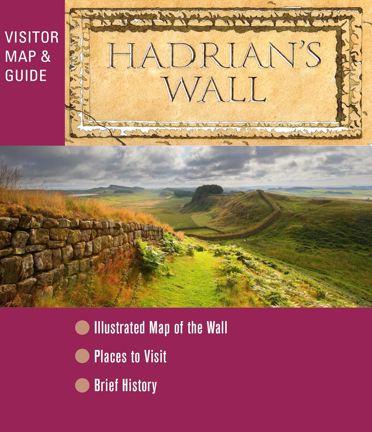
- Hadrian`s Wall Path Harvey National Trail XT40
- Hadrian’s Wall Path, a 135km / 84 mile national trail between Bowness-on-Solway and Wallsend on Tyne which for the greater part of its course shadows the historic line of the Roman wall, presented at 1:40,000 on a map from Harvey Map Services. The route is shown on seven panels, with enlargements for important sections with archaeological... Read more