.jpg)
De Zwerver
Netherlands
Netherlands
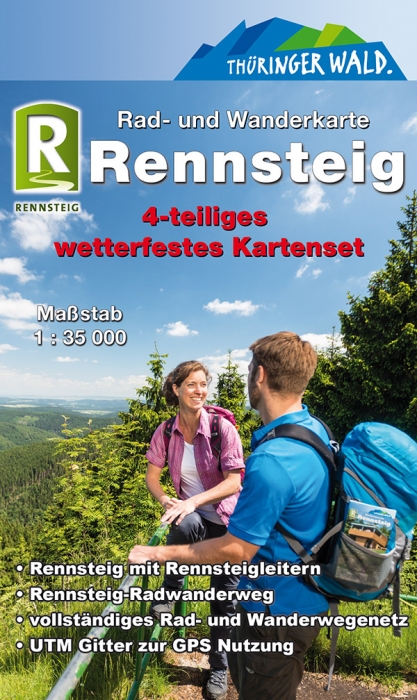
- Wandelkaart Rennsteig | Publicpress
- Deze gedetailleerde wandelkaart beschrijft de wandelroute van 169 km lengte maar ook enkele mogelijke alternatieve routes. Beschreven met veel praktische informatie en bezienswaardigheden onderweg. Erg handig uitgevoerd in water- en scheurvast plastic en in praktisch uitklapformaat! Die Wanderkarte Rennsteig widmet sich dem thĂĽringischen... Read more