
- Also available from:
- De Zwerver, Netherlands
- Stanfords, United Kingdom
De Zwerver
Netherlands
Netherlands
- Wandelkaart Shropshire Way | Harvey Maps
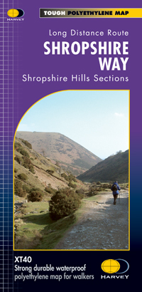
- The Shropshire Way, created from hiking trails in the county which can be combined into long-distance routes or circuits, presented at 1:40,000 on a light, waterproof and tear-resistant map from Harvey Map Services. The map presents the heart of Shropshire between Ludlow and Much Wenlock on one large panel, with an inset extending it eastwards... Read more

Stanfords
United Kingdom
United Kingdom
- Shropshire Way Harvey National Trail XT40
- The Shropshire Way, created from hiking trails in the county which can be combined into long-distance routes or circuits, presented at 1:40,000 on a light, waterproof and tear-resistant map from Harvey Map Services. The map presents the heart of Shropshire between Ludlow and Much Wenlock on one large panel, with an inset extending it eastwards... Read more