The Book Depository
United Kingdom
» Click to open
Stanfords
United Kingdom
  • Ogden - Monte Cristo Range UT NGS Trails Illustrated Map 700
  • Map No. 713, Ogden - Monte Cristo Range in Utah at 1:75,000, part of an extensive series of GPS compatible, contoured hiking maps of USA’s national and state parks or forests and other popular recreational areas. Cartography, based on the national topographic survey, has extensive additional tourist information.The maps, printed on light,... Read more
» Click to close
The Book Depository
United Kingdom
» Click to open
De Zwerver
Netherlands
Stanfords
United Kingdom
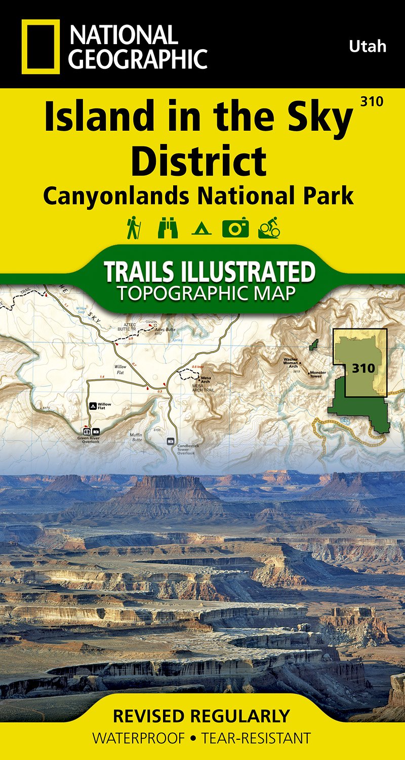
  • Island in the Sky District - Canyonlands NP UT
  • Map No. 310, Canyonlands: Island in the Sky District, UT, in an extensive series of GPS compatible, contoured hiking maps of USA’s national and state parks or forests and other popular recreational areas. Cartography based on the national topographic survey, with additional tourist information.The maps, with most titles now printed on light,... Read more
» Click to close
The Book Depository
United Kingdom
» Click to open
Stanfords
United Kingdom
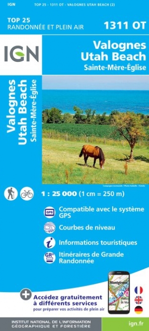
  • Valognes - Utah Beach - Sainte-Mere-Eglise IGN 1311OT
  • Topographic survey of France at 1:25,000 in IGN`s excellent TOP25 / Série Bleue series. All the maps are GPS compatible, with a 1km UTM grid plus latitude and longitude lines at 5’ intervals. Contours are at 5m intervals except for mountainous areas where the maps have contours at 10m intervals, vividly enhanced by hill shading and graphics for... Read more
» Click to close
The Book Depository
United Kingdom
» Click to open
Stanfords
United Kingdom
  • Logan - Bear River Range UT/ID
  • Map No. 700, Logan - Bear River Range in Utah at 1:75,000, part of an extensive series of GPS compatible, contoured hiking maps of USA’s national and state parks or forests and other popular recreational areas. Cartography, based on the national topographic survey, has extensive additional tourist information.The maps, printed on light,... Read more
» Click to close
The Book Depository
United Kingdom
» Click to open
De Zwerver
Netherlands
Stanfords
United Kingdom
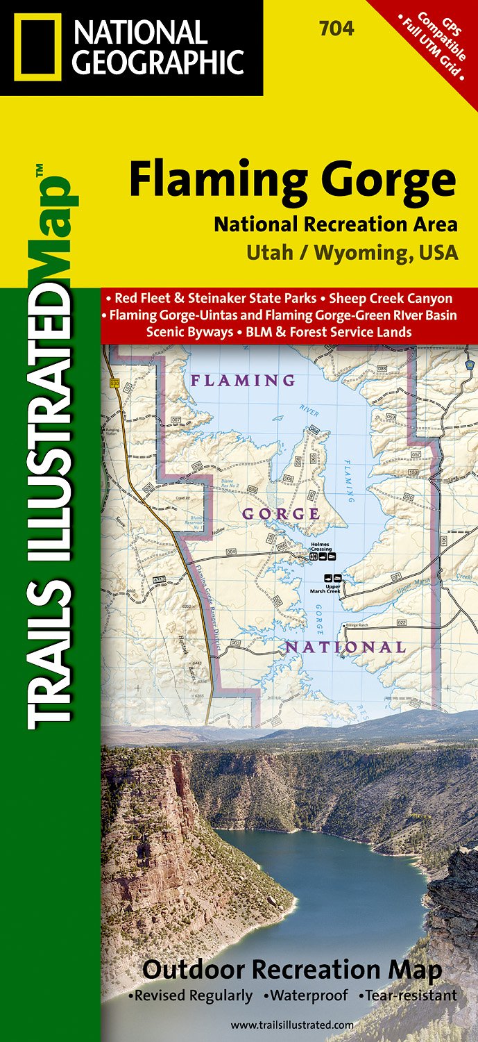
  • Flaming Gorge - East Uintas UT/WY
  • Map No. 704, Flaming Gorge - East Uintas, UT/WY, in an extensive series of GPS compatible, contoured hiking maps of USA’s national and state parks or forests and other popular recreational areas. Cartography based on the national topographic survey, with additional tourist information.The maps, with most titles now printed on light, waterproof... Read more
» Click to close
De Zwerver
Netherlands
» Click to open
Stanfords
United Kingdom
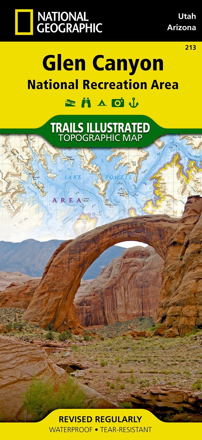
  • Glen Canyon NRA - Capitol Reef NP UT/AZ
  • Map No. 213, Glen Canyon National Recreation Area/Capitol Reef National Park, UT/AZ, in an extensive series of GPS compatible, contoured hiking maps of USA’s national and state parks or forests and other popular recreational areas. Cartography based on the national topographic survey, with additional tourist information.The maps, with most... Read more
» Click to close
De Zwerver
Netherlands
De Zwerver
Netherlands
De Zwerver
Netherlands
2023
De Zwerver
Netherlands
» Click to open
Stanfords
United Kingdom
» Click to close
Stanfords
United Kingdom
2014
Stanfords
United Kingdom
Stanfords
United Kingdom
De Zwerver
Netherlands
» Click to open
Stanfords
United Kingdom
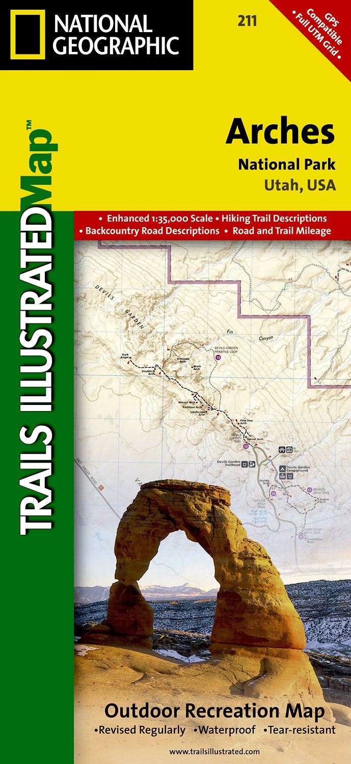
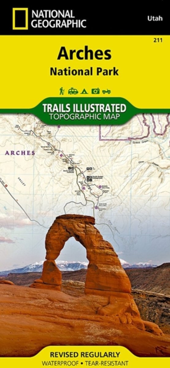
  • Arches National Park UT NGS Trails Illustrated Map 211
  • Map No. 211, Arches National Park, UT, in an extensive series of GPS compatible, contoured hiking maps of USA’s national and state parks or forests and other popular recreational areas. Cartography based on the national topographic survey, with additional tourist information.The maps, with most titles now printed on light, waterproof and... Read more
Bol.com
Netherlands
  • Arches National Park
  • • Waterproof • Tear-Resistant • Topographic MapThis map is updated to reflect road closings, new trails, and campground relocation, and includes detailed trail information, points of interest, trailheads, picnic areas, facilities, and more. Included on the map are Arches National Park, The Highlands, Little Valley, Devils Garden, Lost Spring... Read more
Bol.com
Belgium
  • Arches National Park
  • • Waterproof • Tear-Resistant • Topographic MapThis map is updated to reflect road closings, new trails, and campground relocation, and includes detailed trail information, points of interest, trailheads, picnic areas, facilities, and more. Included on the map are Arches National Park, The Highlands, Little Valley, Devils Garden, Lost Spring... Read more
» Click to close
De Zwerver
Netherlands
» Click to open
Stanfords
United Kingdom
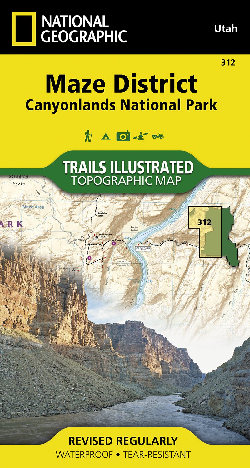
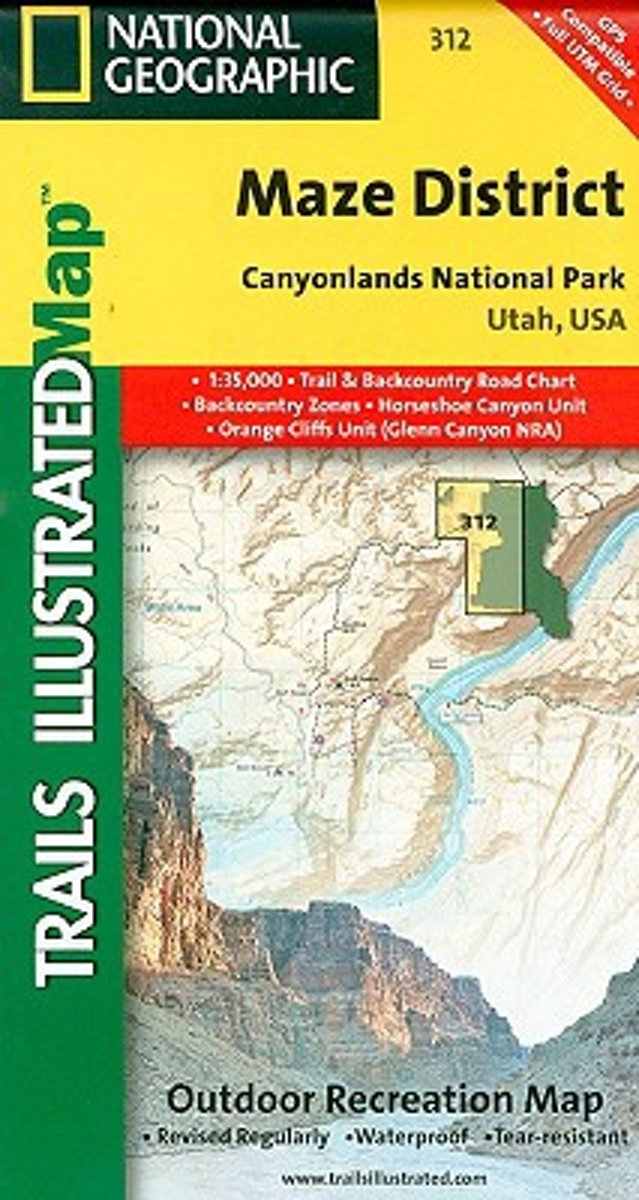
  • Maze District - Canyonlands UT
  • Map No. 312, Canyonlands: Maze District, UT, in an extensive series of GPS compatible, contoured hiking maps of USA’s national and state parks or forests and other popular recreational areas. Cartography based on the national topographic survey, with additional tourist information.The maps, with most titles now printed on light, waterproof and... Read more
Bol.com
Netherlands
  • Maze District Canyonlands National Park
  • Waterproof Tear-Resistant Topographic MapThis sectional map of Canyonlands National Park zooms in on the Maze District in the western area of the park. This map provides more detail of this area than the full Canyonlands National Park map with an enhanced scale. The map includes trail and backcountry road charts, backcountry zones and... Read more
Bol.com
Belgium
  • Maze District Canyonlands National Park
  • Waterproof Tear-Resistant Topographic MapThis sectional map of Canyonlands National Park zooms in on the Maze District in the western area of the park. This map provides more detail of this area than the full Canyonlands National Park map with an enhanced scale. The map includes trail and backcountry road charts, backcountry zones and... Read more
» Click to close