The Book Depository
United Kingdom
» Click to open
» Click to close
The Book Depository
United Kingdom
» Click to open
Stanfords
United Kingdom
  • Bleneau - Charny Oree de Puisaye IGN 2520SB
  • Topographic survey of France at 1:25,000 in IGN`s excellent TOP25 / Série Bleue series. All the maps are GPS compatible, with a 1km UTM grid plus latitude and longitude lines at 5’ intervals. Contours are at 5m intervals except for mountainous areas where the maps have contours at 10m intervals, vividly enhanced by hill shading and graphics for... Read more
» Click to close
The Book Depository
United Kingdom
» Click to open
» Click to close
The Book Depository
United Kingdom
» Click to open
Stanfords
United Kingdom
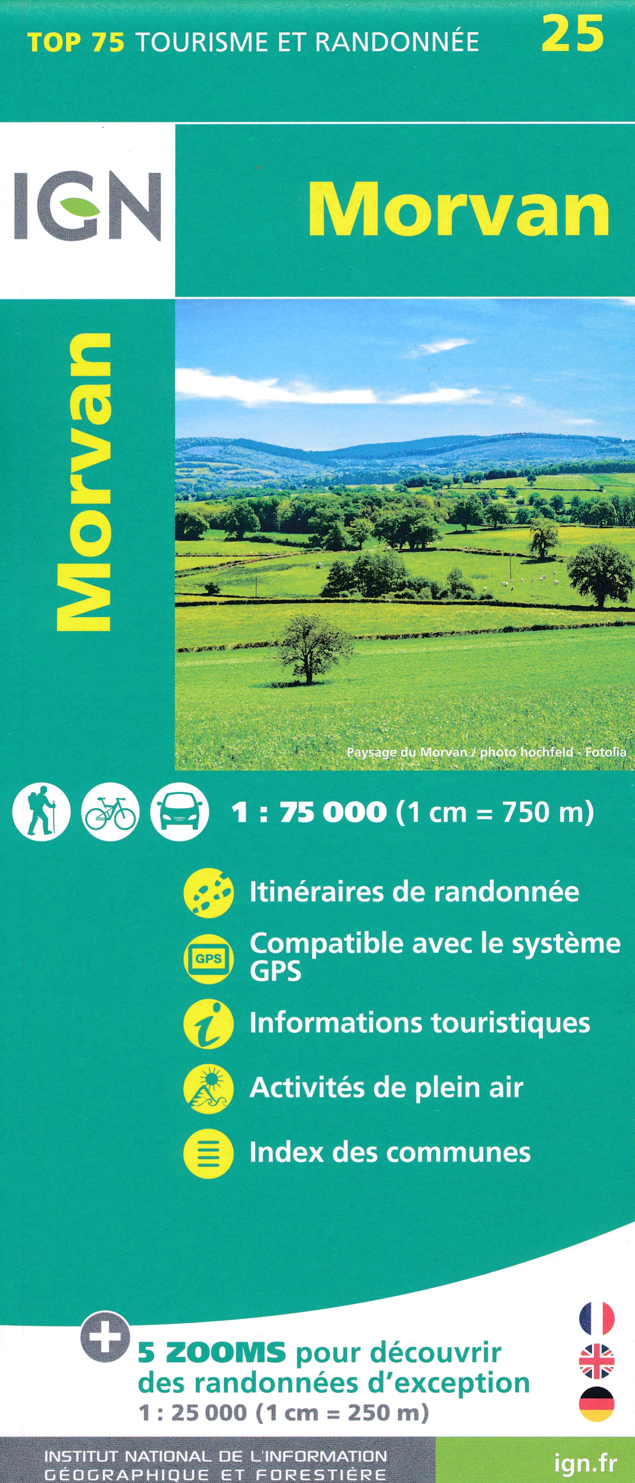
  • Morvan IGN 75025
  • Cartography of the main map at 1:75,000 is a direct enlargement of the mapping used in the IGN’s TOP100 series. Contours are at 40m intervals, enhanced by relief shading; additional colouring shows different types of vegetation (woods, brushwood, vineyards/orchards). Boundaries of national parks and other protected areas are marked. An... Read more
» Click to close
The Book Depository
United Kingdom
» Click to open
Stanfords
United Kingdom
  • Paris - Sens - PNR du Gâtinais français IGN TOP100 119
  • Discover the new double-sided laminated edition of TOP100 road maps of France from the Institut Géographique National (IGN); exceptionally detailed, contoured road maps which include the cycle paths and greenways of the AF3V (French Association for the Development of Cycle Paths and Greenways), ideal for exploring the French countryside by car,... Read more
» Click to close
The Book Depository
United Kingdom
» Click to open
» Click to close
The Book Depository
United Kingdom
» Click to open
Stanfords
United Kingdom
  • Roanne - Bourg-en-Bresse - Mâconnais Bresse et Dombes IGN TOP100 142
  • Discover the new double-sided laminated edition of TOP100 road maps of France from the Institut Géographique National (IGN); exceptionally detailed, contoured road maps which include the cycle paths and greenways of the AF3V (French Association for the Development of Cycle Paths and Greenways), ideal for exploring the French countryside by car,... Read more
» Click to close
The Book Depository
United Kingdom
» Click to open
Stanfords
United Kingdom
  • Auxerre - Montargis - Vallee de l`Yonne IGN TOP100 128
  • Discover the new double-sided laminated edition of TOP100 road maps of France from the Institut Géographique National (IGN); exceptionally detailed, contoured road maps which include the cycle paths and greenways of the AF3V (French Association for the Development of Cycle Paths and Greenways), ideal for exploring the French countryside by car,... Read more
» Click to close
The Book Depository
United Kingdom
» Click to open
Stanfords
United Kingdom
  • Dijon - Chalon-sur-Saone IGN TOP100 136
  • Discover the new double-sided laminated edition of TOP100 road maps of France from the Institut Géographique National (IGN); exceptionally detailed, contoured road maps which include the cycle paths and greenways of the AF3V (French Association for the Development of Cycle Paths and Greenways), ideal for exploring the French countryside by car,... Read more
» Click to close
The Book Depository
United Kingdom
» Click to open
Stanfords
United Kingdom
  • Val-Suzon - Saint-Etienne-l`Abbaye - Dijon West IGN 3022ET
  • Between 2014 and 2019, the IGN renewed its entire Serie Bleue collection.A new map for optimal readability, with better geometric precision and enriched tourist information.A new format twice as large: the format of the new Serie Bleue is equivalent to that of the Top 25 and the number of references will thus be divided by 2.For most maps, the... Read more
» Click to close
The Book Depository
United Kingdom
» Click to open
» Click to close
The Book Depository
United Kingdom
» Click to open
De Zwerver
Netherlands
Stanfords
United Kingdom
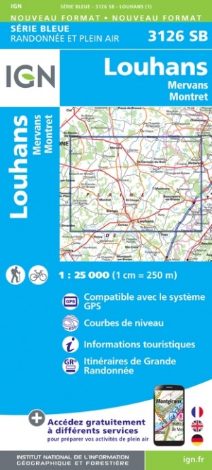
  • Louhans - Mervans - Montret IGN 3126SB
  • Topographic survey of France at 1:25,000 in IGN`s excellent TOP25 / Série Bleue series. All the maps are GPS compatible, with a 1km UTM grid plus latitude and longitude lines at 5’ intervals. Contours are at 5m intervals except for mountainous areas where the maps have contours at 10m intervals, vividly enhanced by hill shading and graphics for... Read more
» Click to close
The Book Depository
United Kingdom
» Click to open
Stanfords
United Kingdom
  • Beaujeu - Belleville - Haut Beaujolais IGN 2929ET
  • Topographic survey of France at 1:25,000 in IGN`s excellent TOP25 / Série Bleue series. All the maps are GPS compatible, with a 1km UTM grid plus latitude and longitude lines at 5’ intervals. Contours are at 5m intervals except for mountainous areas where the maps have contours at 10m intervals, vividly enhanced by hill shading and graphics for... Read more
» Click to close
The Book Depository
United Kingdom
» Click to open
» Click to close
The Book Depository
United Kingdom
» Click to open
Stanfords
United Kingdom
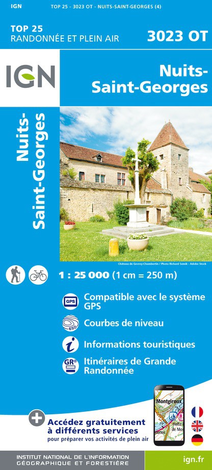
  • Nuits-Saint-Georges IGN 3023OT
  • Topographic survey of France at 1:25,000 in IGN`s excellent TOP25 / Série Bleue series. All the maps are GPS compatible, with a 1km UTM grid plus latitude and longitude lines at 5’ intervals. Contours are at 5m intervals except for mountainous areas where the maps have contours at 10m intervals, vividly enhanced by hill shading and graphics for... Read more
» Click to close